Bankhill, High

Settlement in Cumberland Eden

England

Bankhill, High

Fetherston Arms, Kirkoswald One of two excellent pubs in this attractive Cumbrian village.
Fetherston Arms, Kirkoswald Credit: Gordon Hatton

Bankhill is a small village located in the High district of Cumberland, a historic county in North West England. Situated amidst the scenic beauty of the Cumbrian countryside, Bankhill offers its residents a tranquil and picturesque setting to call home.

The village is characterized by its charming rural atmosphere, with a population of approximately 500 residents. The community primarily comprises of local families and retirees who appreciate the peaceful surroundings and close-knit community spirit.

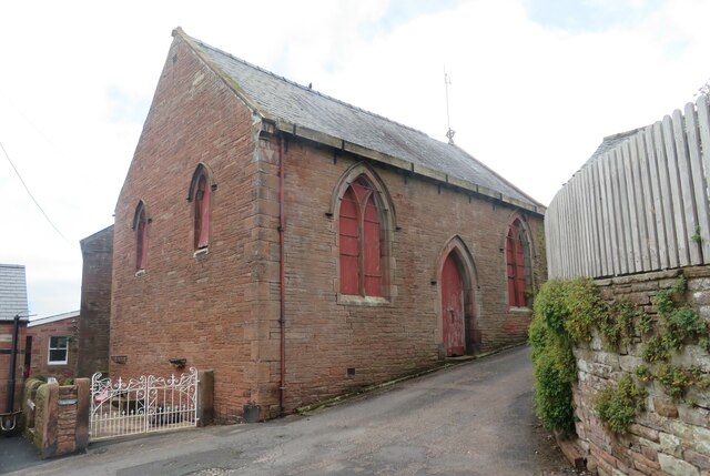
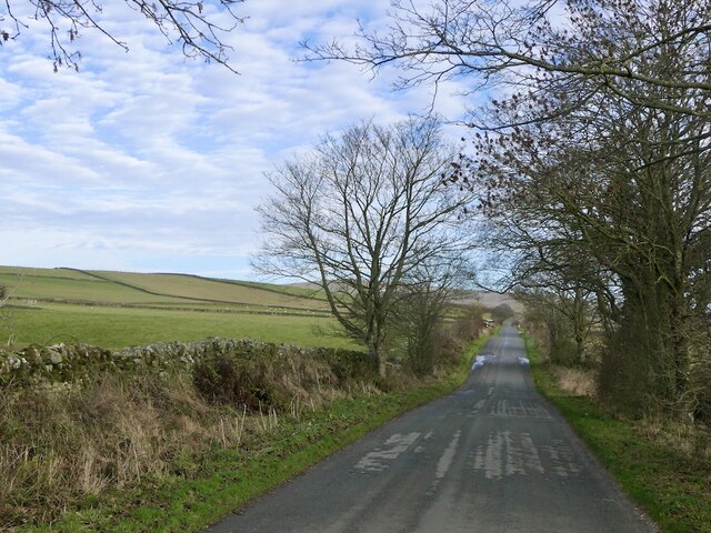
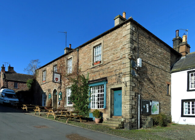
Bankhill boasts a range of traditional stone-built houses, which add to the village's charm and character. The architecture is reflective of the area's rich historical heritage and provides a delightful backdrop for residents and visitors alike.

Although small in size, Bankhill features a few essential amenities to cater to its residents' needs. These include a local grocery store, post office, and a village hall that serves as a hub for social gatherings and community events.

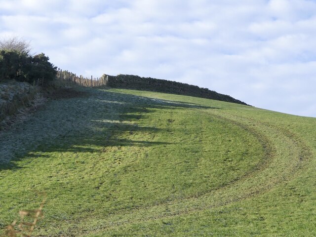
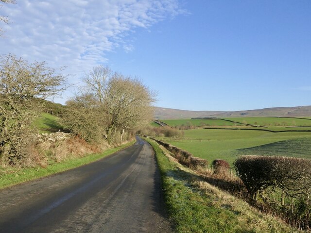
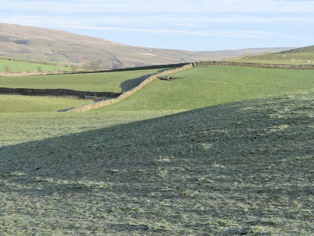
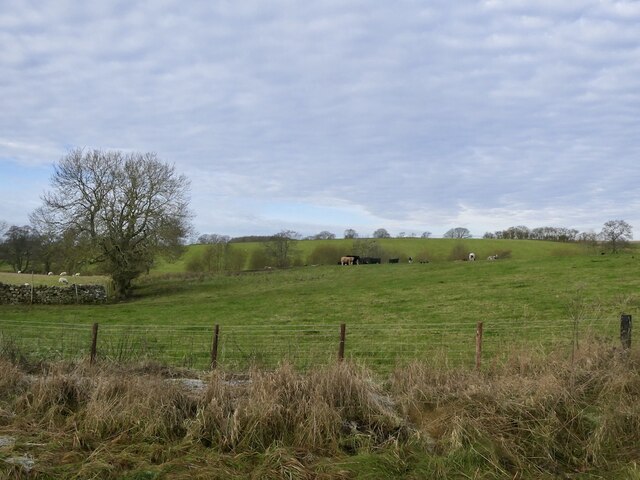
Surrounded by rolling hills and lush green fields, Bankhill offers ample opportunities for outdoor activities such as hiking, cycling, and exploring the countryside. The village is also in close proximity to several nature reserves and national parks, providing further options for outdoor enthusiasts to enjoy the natural beauty of the area.

Overall, Bankhill offers a peaceful and idyllic lifestyle, away from the hustle and bustle of city living. Its picturesque setting, friendly community, and access to nature make it an attractive place to reside for those seeking a slower pace of life in the stunning landscapes of Cumberland.

If you have any feedback on the listing, please let us know in the comments section below.

Bankhill, High Images

Images are sourced within 2km of 54.772807/-2.683944 or Grid Reference NY5642. Thanks to Geograph Open Source API. All images are credited.

Fetherston Arms, Kirkoswald One of two excellent pubs in this attractive Cumbrian village.
Fetherston Arms, Kirkoswald
One of two excellent pubs in this attractive Cumbrian village.
Disused chapel in Kirkoswald Old OS maps show this as a Congregational chapel, but it appears not to have been used for worship for many years.
Disused chapel in Kirkoswald
Old OS maps show this as a Congregational chapel, but it appears not to have been used for worship for many years.
Main Street, Kirkoswald The main street drops down a hill towards Raven Beck. The two excellent village pubs are visible here, with the Fetherston Arms to the left and the Crown Inn to the right.
Main Street, Kirkoswald
The main street drops down a hill towards Raven Beck. The two excellent village pubs are visible here, with the Fetherston Arms to the left and the Crown Inn to the right.
St Oswald's bell tower How unusual to discover that the bell tower for St Oswald's church is sat on top of a hill well above the church. The tower dates from 1897, replacing a wooden structure of 1747.
St Oswald's bell tower
How unusual to discover that the bell tower for St Oswald's church is sat on top of a hill well above the church. The tower dates from 1897, replacing a wooden structure of 1747.
Church of St Oswald at Kirkoswald The church is outside the village tucked beneath a hillside and at the edge of the Eden flood plain - a rather odd location. The building is of different ages with some parts as early as the 12th century, whilst much of the fabric is 15th century.
Church of St Oswald at Kirkoswald
The church is outside the village tucked beneath a hillside and at the edge of the Eden flood plain - a rather odd location. The building is of different ages with some parts as early as the 12th century, whilst much of the fabric is 15th century.
Field off Strait Loaning View westward over the hidden Croglin Water.
Field off Strait Loaning
View westward over the hidden Croglin Water.
Pheasant on a dyke Against a Pennine background.
Pheasant on a dyke
Against a Pennine background.
Road to Staffield
Road to Staffield
Whin Fell
Whin Fell
B6413, Whin Fell
B6413, Whin Fell
Frosted grass, Blunderstone
Long straight road, Scales
Grazing cattle, High Bankhill
Heading for Kirkoswald A mid-March view of farmland in the Eden Valley.
Heading for Kirkoswald
A mid-March view of farmland in the Eden Valley.
Kirkoswald Castle All that’s left is a single ruined tower and some earthworks around the site. On this mid-March visit, it was possible to get a glimpse of the building before the foliage opened out on the trees.
Kirkoswald Castle
All that’s left is a single ruined tower and some earthworks around the site. On this mid-March visit, it was possible to get a glimpse of the building before the foliage opened out on the trees.
Footpath near Kirkoswald Castle The path connects Kirkoswald with Glassonby.
Footpath near Kirkoswald Castle
The path connects Kirkoswald with Glassonby.
The Fetherston Arms An attractive pub in the middle of Kirkoswald village.
The Fetherston Arms
An attractive pub in the middle of Kirkoswald village.
Kirkoswald war memorial Located in the middle of Kirkoswald village.
Kirkoswald war memorial
Located in the middle of Kirkoswald village.
Show me another place!

Bankhill, High is located at Grid Ref: NY5642 (Lat: 54.772807, Lng: -2.683944)

Administrative County: Cumbria

District: Eden

Police Authority: Cumbria

What 3 Words

///attending.focal.sunroof. Near Penrith, Cumbria

Related Wikis

Kirkoswald, Cumbria

Kirkoswald is a village, civil parish, and former market town located in Westmorland and Furness, England, about 9 miles (14 km) from Penrith. The village...

Kirkoswald Castle

Kirkoswald Castle is located to the southeast of the village of Kirkoswald, Cumbria, England. It is built from Penrith red sandstone and is still partially...

Staffield

Staffield is a hamlet and former civil parish 12 miles (19 km) from Carlisle, now in the parish of Kirkoswald, in the Eden district, in the county of Cumbria...

Dale, Cumbria

Dale is a hamlet in Cumbria, England. == References ==

Nearby Amenities

Located within 500m of 54.772807,-2.683944
High Bankhill
Place: hamlet
Lat/Long: 54.7720215/-2.6840542
Berry Common
Naptan AtcoCode: 090074361802
Naptan Bearing: E
Naptan BusStopType: CUS
Naptan CommonName: Berry Common
Naptan Indicator: near
Naptan Landmark: telephone in Village
Naptan NaptanCode: cumdamwa
Naptan Street: No name
Naptan Verified: no
Source: naptan_import
Lat/Long: 54.77137/-2.6845343
Berry Moor Common
Naptan AtcoCode: 090074363771
Naptan Bearing: SW
Naptan BusStopType: CUS
Naptan CommonName: Berry Moor Common
Naptan Indicator: near
Naptan Landmark: village crossroads
Naptan NaptanCode: cumdamwp
Naptan Street: No name
Naptan Verified: no
Source: naptan_import
Lat/Long: 54.7713167/-2.6844246
Post Box
Ref: CA10 226
Source: survey
Lat/Long: 54.7714129/-2.6845074
Power: pole
Lat/Long: 54.7698209/-2.6879237
Power: pole
Lat/Long: 54.7706138/-2.6875606
Power: pole
Lat/Long: 54.7714241/-2.686766
Power: pole
Lat/Long: 54.7722753/-2.6859313
Power: pole
Lat/Long: 54.7711783/-2.6855
Power: pole
Lat/Long: 54.7700959/-2.6883853
Power: pole
Lat/Long: 54.7707055/-2.6894067
Power: pole
Lat/Long: 54.7713477/-2.6904934
Power: pole
Lat/Long: 54.7715537/-2.6908418
Power: pole
Lat/Long: 54.7719375/-2.6915053
Power: pole
Lat/Long: 54.7726463/-2.6904307
Power: pole
Lat/Long: 54.7725968/-2.6897952
The data included in this document is from www.openstreetmap.org. The data is made available under ODbL.

Have you been to Bankhill, High?

Leave your review of Bankhill, High below (or comments, questions and feedback).