Angerton, High

Settlement in Northumberland

England

Angerton, High

St Andrew's Church, Hartburn A Grade I listed church with 11th century Anglo-Saxon tower.
The graveyard is on the edge of a steep ravine down to the Hart Burn.
St Andrew's Church, Hartburn Credit: Russel Wills

Angerton is a small village located in the county of Northumberland, in the northeast region of England. Situated in the district of High, it is nestled amongst the picturesque countryside of this rural area. The village is surrounded by rolling hills, lush green fields, and meandering streams, making it an idyllic setting for those seeking peace and tranquility.

Angerton is a tight-knit community with a population of approximately 300 residents. The village is known for its strong sense of community spirit, and residents often organize various social events and activities throughout the year. These include summer fairs, charity fundraisers, and community gatherings, which bring both locals and visitors together.

The village is home to a few amenities that cater to the needs of its residents. These include a small convenience store, a pub, and a primary school, providing essential services within close proximity. For more extensive shopping or leisure activities, the nearby towns of High and Northumberland offer a broader range of facilities, including supermarkets, restaurants, and recreational centers.

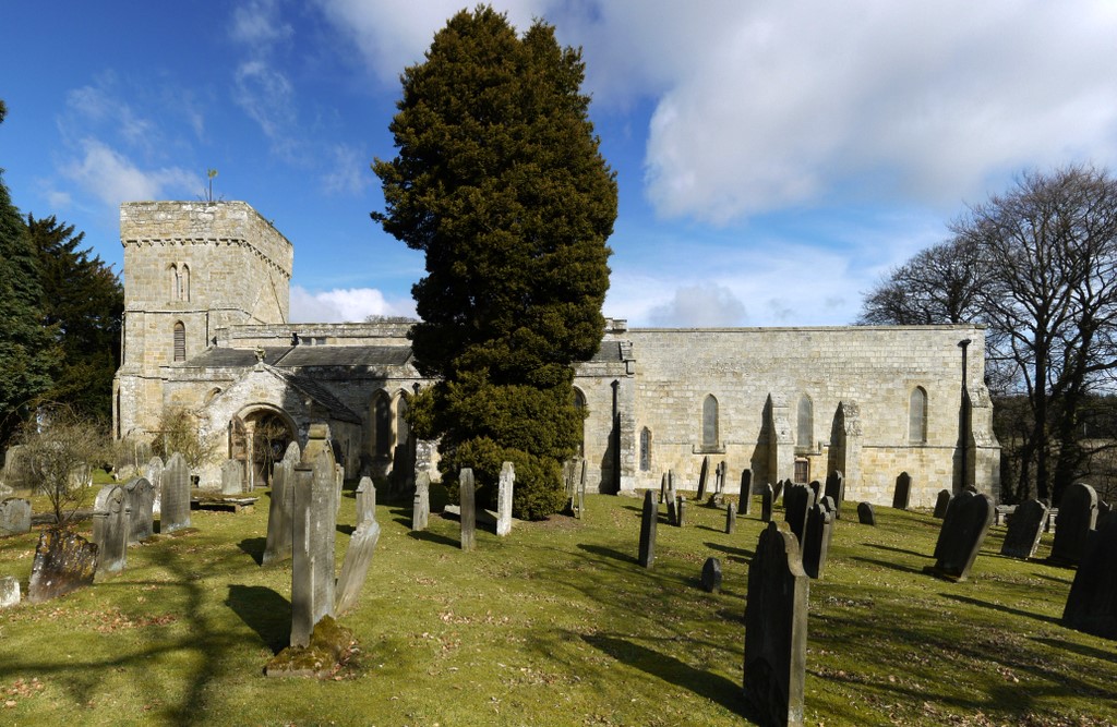
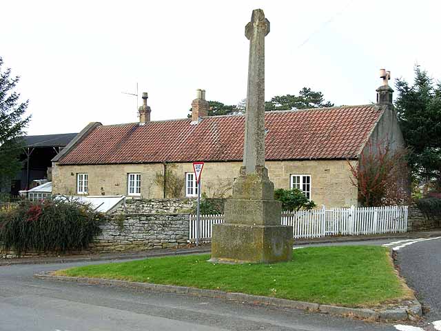
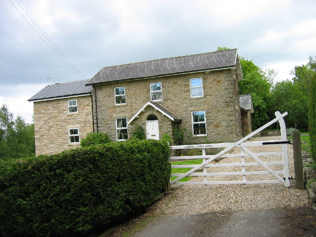
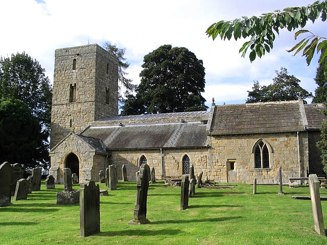
Although Angerton may be small in size, it boasts a rich historical heritage. The village is dotted with traditional stone-built houses and charming cottages, showcasing the architectural style of the region. Additionally, the surrounding area features several historical landmarks, such as ancient ruins and castles, which attract history enthusiasts and tourists alike.

Overall, Angerton is a serene and welcoming village that offers a peaceful lifestyle amidst the natural beauty of the Northumberland countryside. Its strong community spirit, coupled with its rich history, makes it a truly unique place to visit or call home.

If you have any feedback on the listing, please let us know in the comments section below.

Angerton, High Images

Images are sourced within 2km of 55.162863/-1.85713 or Grid Reference NZ0985. Thanks to Geograph Open Source API. All images are credited.

St Andrew's Church, Hartburn A Grade I listed church with 11th century Anglo-Saxon tower.
The graveyard is on the edge of a steep ravine down to the Hart Burn.
St Andrew's Church, Hartburn
A Grade I listed church with 11th century Anglo-Saxon tower. The graveyard is on the edge of a steep ravine down to the Hart Burn.
View from St Andrew's Church graveyard Down to the Hart Burn.
View from St Andrew's Church graveyard
Down to the Hart Burn.
Gateway to St Andrew's Church Approached from the War Memorial past a convenient car park.
Gateway to St Andrew's Church
Approached from the War Memorial past a convenient car park.
Hartburn War Memorial On its triangular grass area where roads meet in the village.
Hartburn War Memorial was designed by renowned architect Sir Edwin Lutyens to his War Cross design. It was commissioned by Mr and Mrs Straker of nearby Angerton Hall, whose gardens Lutyens renovated in 1904, and unveiled on 31 July 1921. It is a grade II listed building.
Hartburn War Memorial
On its triangular grass area where roads meet in the village. Hartburn War Memorial was designed by renowned architect Sir Edwin Lutyens to his War Cross design. It was commissioned by Mr and Mrs Straker of nearby Angerton Hall, whose gardens Lutyens renovated in 1904, and unveiled on 31 July 1921. It is a grade II listed building.
The Tower House, Hartburn Dr John Sharpe, an 18th-century Vicar of Hartburn, built the crenellated Tower House that overlooks Hartburn Glebe. It was built as a village school, accommodation for the schoolmaster, and as a stable for the parish hearse in 1745. The north face of the house is built in an 18th-century Gothic style whilst the south face, with its stairs up the outside, resembles a large Northumbrian bastle house. Wikipedia.
If you look carefully you can see a traction engine parked in the drive!
The Tower House, Hartburn
Dr John Sharpe, an 18th-century Vicar of Hartburn, built the crenellated Tower House that overlooks Hartburn Glebe. It was built as a village school, accommodation for the schoolmaster, and as a stable for the parish hearse in 1745. The north face of the house is built in an 18th-century Gothic style whilst the south face, with its stairs up the outside, resembles a large Northumbrian bastle house. Wikipedia. If you look carefully you can see a traction engine parked in the drive!
Looking down The Banks  To the Hart Burn.
Looking down The Banks
To the Hart Burn.
Not so Welcome to Hartburn Glebe The gateway is padlocked so no entry.
It is not apparent whether it is closed for forestry 
work or to clear damage from Storm Arwen.
Not so Welcome to Hartburn Glebe
The gateway is padlocked so no entry. It is not apparent whether it is closed for forestry work or to clear damage from Storm Arwen.
Churchyard sundial Free standing sundial dated 1720, just inside the front gate of St Andrew's Church.  Sadly it has lost its gnomon but the face engravings are just about still visible.  Grade II listed

<span class="nowrap"><a title="https://historicengland.org.uk/listing/the-list/list-entry/1042119?section=official-list-entry" rel="nofollow ugc noopener" href="https://historicengland.org.uk/listing/the-list/list-entry/1042119?section=official-list-entry">Link</a><img style="margin-left:2px;" alt="External link" title="External link - shift click to open in new window" src="https://s1.geograph.org.uk/img/external.png" width="10" height="10"/></span>

<a href="https://www.geograph.org.uk/photo/7339065">NZ0985 : Sundial face</a>
Churchyard sundial
Free standing sundial dated 1720, just inside the front gate of St Andrew's Church. Sadly it has lost its gnomon but the face engravings are just about still visible. Grade II listed LinkExternal link NZ0985 : Sundial face
Sundial face Free standing sundial dated 1720, just inside the front gate of St Andrew's Church. Sadly it has lost its gnomon but the face engravings are just about still visible. Grade II listed

<span class="nowrap"><a title="https://historicengland.org.uk/listing/the-list/list-entry/1042119?section=official-list-entry" rel="nofollow ugc noopener" href="https://historicengland.org.uk/listing/the-list/list-entry/1042119?section=official-list-entry">Link</a><img style="margin-left:2px;" alt="External link" title="External link - shift click to open in new window" src="https://s1.geograph.org.uk/img/external.png" width="10" height="10"/></span>

<a href="https://www.geograph.org.uk/photo/7339056">NZ0985 : Churchyard sundial</a>
Sundial face
Free standing sundial dated 1720, just inside the front gate of St Andrew's Church. Sadly it has lost its gnomon but the face engravings are just about still visible. Grade II listed LinkExternal link NZ0985 : Churchyard sundial
Bridleway towards Hart Burn
Bridleway above the Hart Burn
Grotto by the Hart Burn (Hartburn) In about 1760 a room was cut into the sandstone cliffs on the south bank of the Hart Burn. Inside were arches and a fireplace and a tunnel connected it to the stream. This is a Grade II Listed Building protected by law.
<span class="nowrap"><a title="https://keystothepast.info/search-records/results-of-search/results-of-search-2/site-details/?PRN=N10468" rel="nofollow ugc noopener" href="https://keystothepast.info/search-records/results-of-search/results-of-search-2/site-details/?PRN=N10468">Link</a><img style="margin-left:2px;" alt="External link" title="External link - shift click to open in new window" src="https://s1.geograph.org.uk/img/external.png" width="10" height="10"/></span>
Grotto by the Hart Burn (Hartburn)
In about 1760 a room was cut into the sandstone cliffs on the south bank of the Hart Burn. Inside were arches and a fireplace and a tunnel connected it to the stream. This is a Grade II Listed Building protected by law. LinkExternal link
Fireplace in the Grotto, Hartburn
Entrance to Grotto at Hartburn In about 1760 a room was cut into the sandstone cliffs on the south bank of the Hart Burn. Inside were arches and a fireplace and a tunnel connected it to the stream. This is a Grade II Listed Building protected by law.
<span class="nowrap"><a title="https://keystothepast.info/search-records/results-of-search/results-of-search-2/site-details/?PRN=N10468" rel="nofollow ugc noopener" href="https://keystothepast.info/search-records/results-of-search/results-of-search-2/site-details/?PRN=N10468">Link</a><img style="margin-left:2px;" alt="External link" title="External link - shift click to open in new window" src="https://s1.geograph.org.uk/img/external.png" width="10" height="10"/></span>
Entrance to Grotto at Hartburn
In about 1760 a room was cut into the sandstone cliffs on the south bank of the Hart Burn. Inside were arches and a fireplace and a tunnel connected it to the stream. This is a Grade II Listed Building protected by law. LinkExternal link
Working Horse used to Move Fallen Trees There were a couple more horses and the men who were working them told us they were clearing trees that had fallen during Storm Arwen and expected to be there for a couple of years.  Some footpaths were closed due to fallen and unstable trees.
Working Horse used to Move Fallen Trees
There were a couple more horses and the men who were working them told us they were clearing trees that had fallen during Storm Arwen and expected to be there for a couple of years. Some footpaths were closed due to fallen and unstable trees.
The Hart Burn
The Hart Burn
Footpath Closed due to Storm Arwen
The Tower House, Hartburn
Show me another place!

Angerton, High is located at Grid Ref: NZ0985 (Lat: 55.162863, Lng: -1.85713)

Unitary Authority: Northumberland

Police Authority: Northumbria

What 3 Words

///snows.brink.aced. Near Hartburn, Northumberland

Related Wikis

Nearby Amenities

Located within 500m of 55.162863,-1.85713
Black Scar
Place: locality
Lat/Long: 55.1644099/-1.8589465
The Banks
Place: locality
Lat/Long: 55.1645937/-1.8530896
Post Box
Collection Times: Mo-Fr 16:15; Sa 09:00
Post Box Type: lamp
Ref: NE61 45
Royal Cypher: EIIR
Royal Cypher Wikidata: Q33102113
Source: survey
Lat/Long: 55.1621959/-1.8569952
The data included in this document is from www.openstreetmap.org. The data is made available under ODbL.

Have you been to Angerton, High?

Leave your review of Angerton, High below (or comments, questions and feedback).