Aonach-Bheinn
Hill, Mountain in Argyllshire
Scotland
Aonach-Bheinn
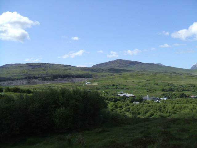
Aonach-Bheinn, located in Argyllshire, Scotland, is a prominent hill/mountain that offers breathtaking vistas and a challenging climb for outdoor enthusiasts. Standing at an impressive height of 909 meters (2,982 feet), it is part of the famous Mamores range in the Scottish Highlands.
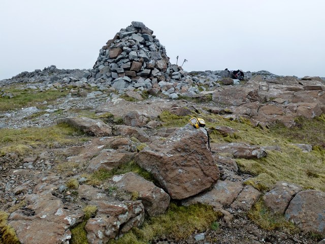
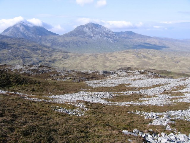
Aonach-Bheinn, which translates to "Mountain of the Notch" in Gaelic, is renowned for its distinct appearance with a prominent notch on its summit ridge. This unique feature adds to the allure of the mountain and makes it a popular destination for hikers and climbers seeking a rewarding challenge.
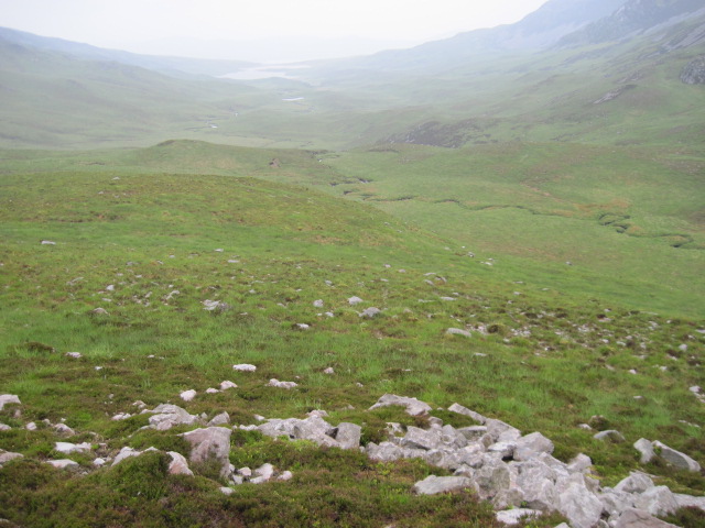
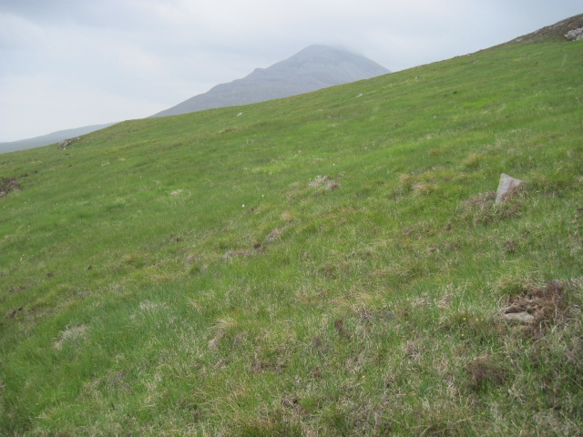
The ascent of Aonach-Bheinn presents a variety of terrains, including steep slopes, rocky sections, and scree slopes, providing a thrilling experience for mountaineers. The hike typically begins at the Glen Nevis Visitor Center, where a well-defined path guides adventurers through picturesque landscapes, including lush glens, cascading waterfalls, and serene Loch Eilde Mor.
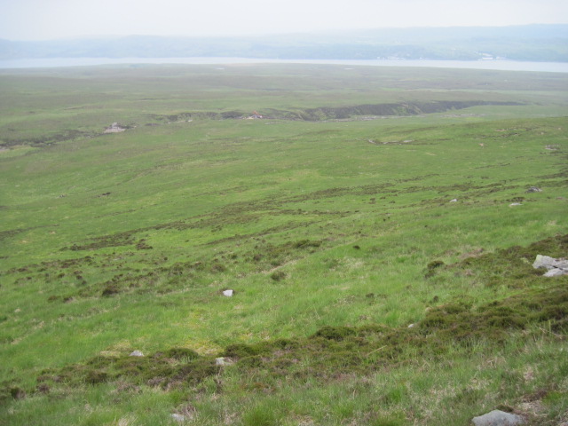
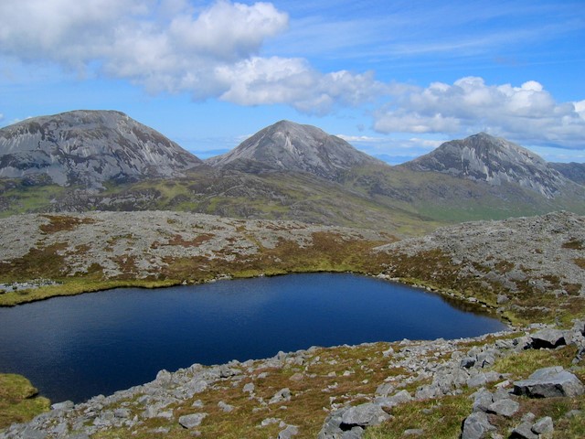
As climbers make their way towards the summit, they are treated to awe-inspiring panoramic views of the surrounding peaks, including Ben Nevis, the highest mountain in the British Isles. On clear days, it is even possible to see the Inner Hebrides and the Isle of Mull in the distance.
Aonach-Bheinn is a challenging and rewarding climb, best suited for experienced hikers and mountaineers. Proper equipment, navigation skills, and an awareness of changing weather conditions are essential for a safe and enjoyable ascent. However, the stunning vistas and sense of accomplishment that await those who reach the summit make Aonach-Bheinn an unforgettable experience for outdoor enthusiasts seeking to explore the natural beauty of Argyllshire.
If you have any feedback on the listing, please let us know in the comments section below.
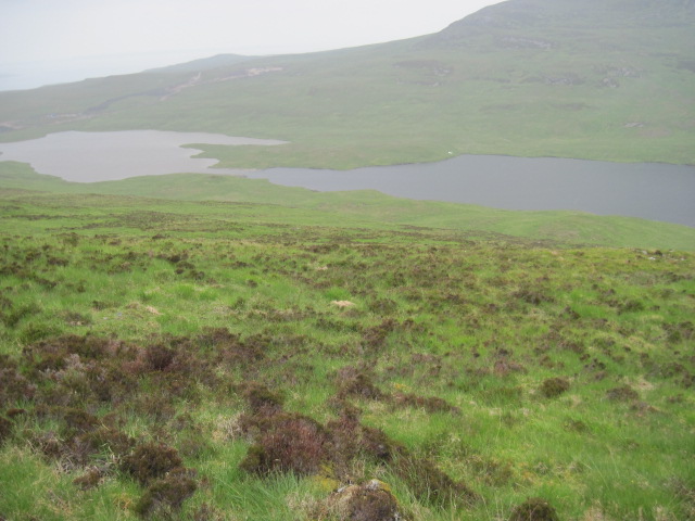
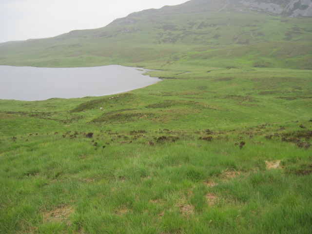
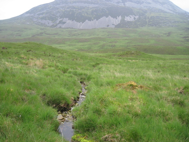
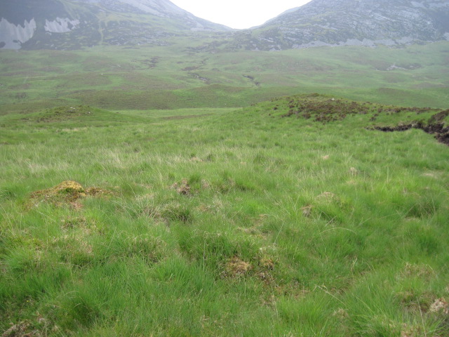
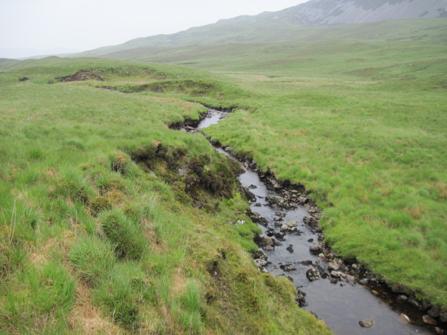
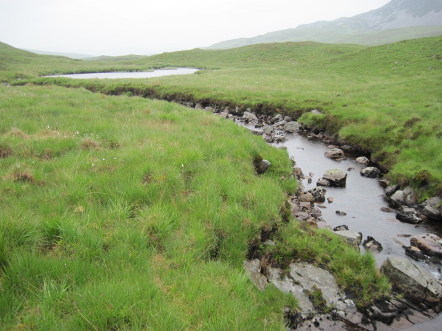
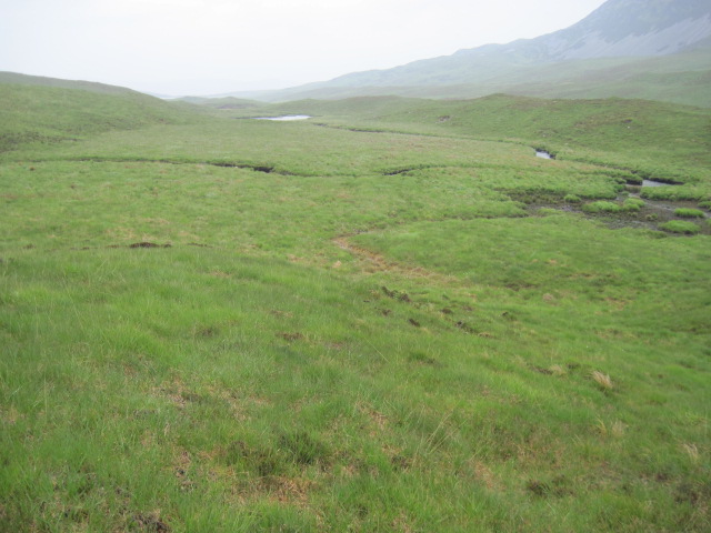
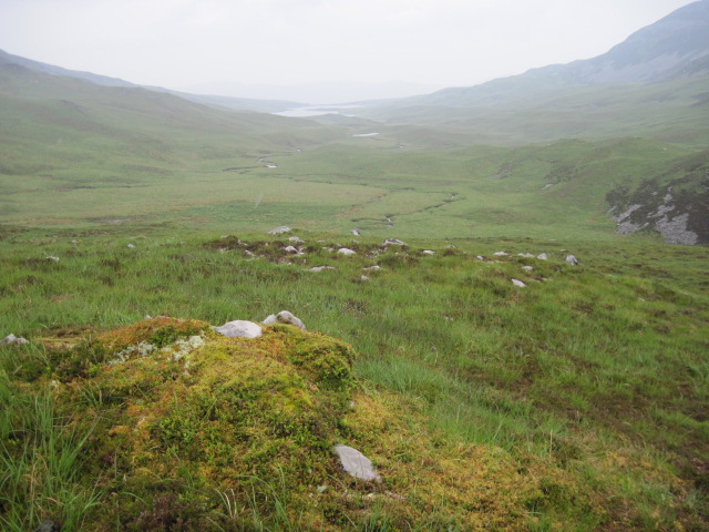
Aonach-Bheinn Images
Images are sourced within 2km of 55.861663/-6.0225093 or Grid Reference NR4870. Thanks to Geograph Open Source API. All images are credited.


Aonach-Bheinn is located at Grid Ref: NR4870 (Lat: 55.861663, Lng: -6.0225093)
Unitary Authority: Argyll and Bute
Police Authority: Argyll and West Dunbartonshire
What 3 Words
///frostbite.passes.lectures. Near Craighouse, Argyll & Bute
Nearby Locations
Related Wikis

Paps of Jura
The Paps of Jura (Scottish Gaelic: Sgurr na Cìche) are three mountains on the western side of the island of Jura, in the Inner Hebrides of Scotland. Their...

Beinn a' Chaolais
Beinn a' Chaolais (Gaelic: mountain of the sound or strait) is the lowest peak of the Paps of Jura on the island of Jura, Scotland.It stands at 733 metres...
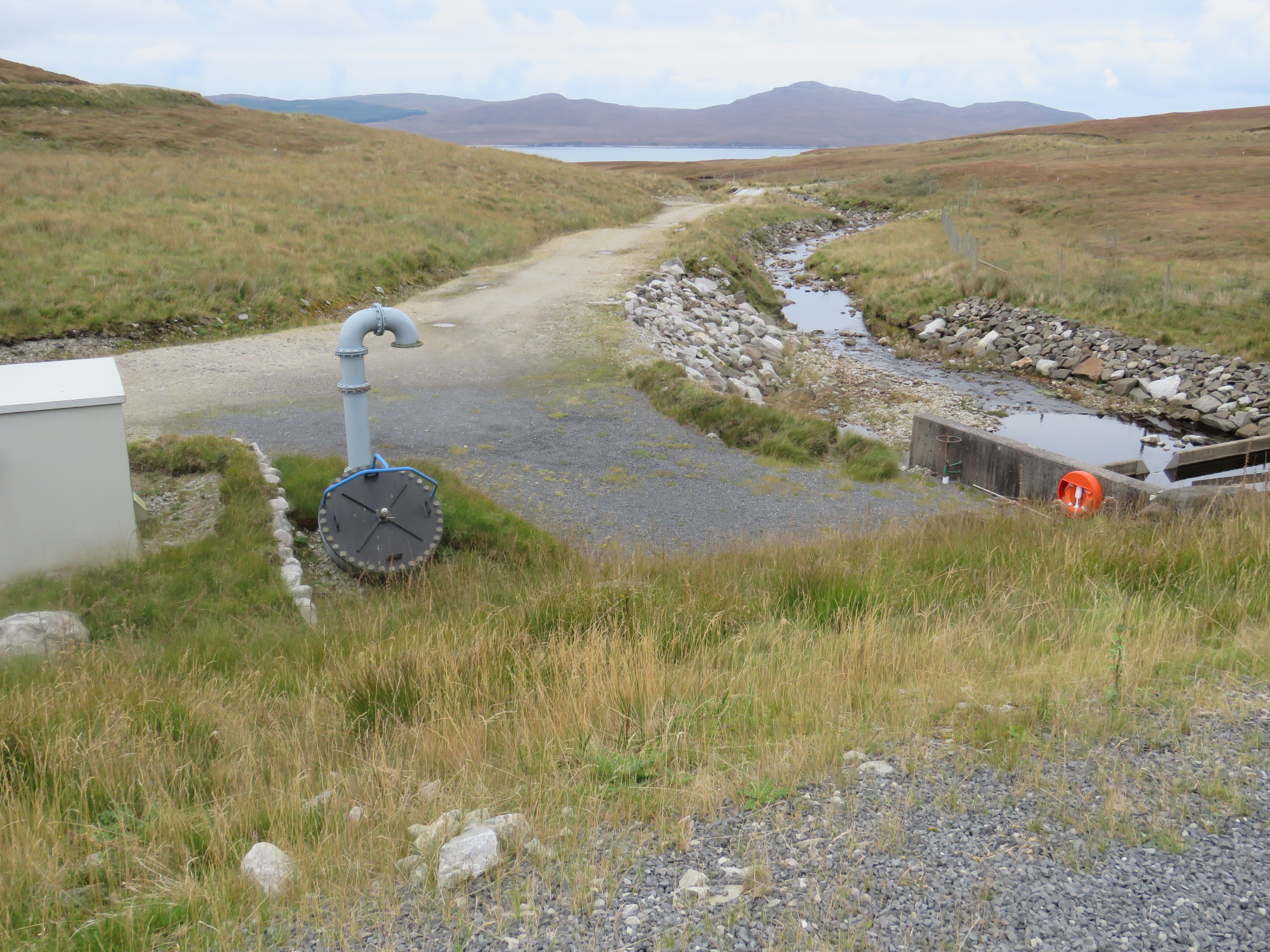
Inver Hydro-Electric Scheme
Inver Hydro-Electric Scheme is a remote hydro-electric plant on the Scottish island of Jura, part of the Inner Hebrides. Construction began in 2011, and...

Feolin
Feolin (also known as Feolin Ferry) is a slipway on the west coast of Jura. MV Eilean Dhiura provides a vehicle and passenger ferry service from Port Askaig...
Nearby Amenities
Located within 500m of 55.861663,-6.0225093Have you been to Aonach-Bheinn?
Leave your review of Aonach-Bheinn below (or comments, questions and feedback).