A' Mhaol Mhòr

Hill, Mountain in Argyllshire

Scotland

A' Mhaol Mhòr

Igneous escarpment above Balmeanach Tertiary lava flows dominate the view but there are surviving sedimentary rocks, including chalk, here from before the volcanoes, this has led to good farmland along the coast and on Inch Kenneth.
Igneous escarpment above Balmeanach Credit: Richard Webb

A' Mhaol Mhòr is a prominent hill located in Argyllshire, Scotland. It is part of the stunning landscape of the Scottish Highlands, renowned for its rugged beauty and dramatic scenery. Rising to an elevation of approximately 841 meters (2,759 feet), A' Mhaol Mhòr offers breathtaking panoramic views of the surrounding area.

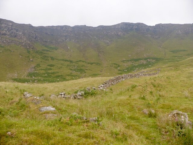
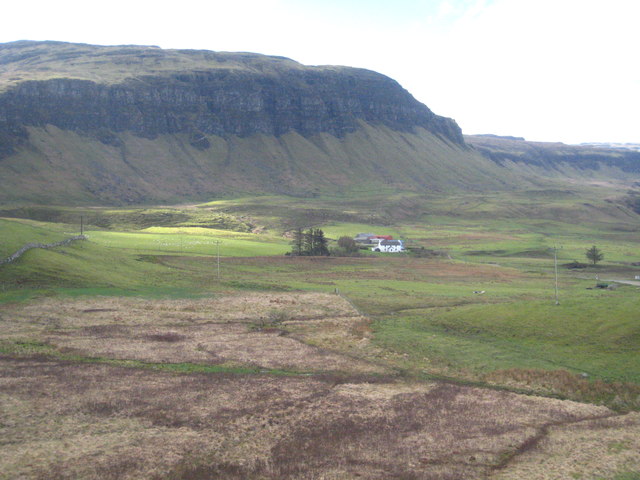
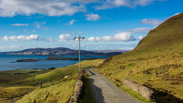
Situated near the western coast of Scotland, A' Mhaol Mhòr is characterized by its steep slopes and rocky terrain. The hill is composed mainly of metamorphic rocks, such as gneiss and schist, which add to its unique geological features. A' Mhaol Mhòr is also home to a variety of flora and fauna, including heather, mosses, and several species of birds.

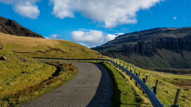
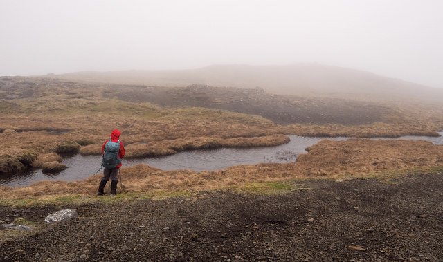
Reaching the summit of A' Mhaol Mhòr requires a moderate level of fitness and good hiking skills. There are several routes to choose from, each offering different challenges and rewards. The most popular approach is from the nearby village of Taynuilt, where a well-marked trail leads hikers through picturesque moorland and up the hillside.

Once at the top, visitors are rewarded with breathtaking views of Loch Etive and the surrounding mountains. On clear days, it is possible to see as far as the Isle of Mull and the Inner Hebrides. The summit also provides an ideal vantage point for observing the local wildlife, including red deer and golden eagles.

A' Mhaol Mhòr is a popular destination for outdoor enthusiasts and nature lovers alike, offering a true taste of the Scottish Highlands' natural beauty and rugged charm.

If you have any feedback on the listing, please let us know in the comments section below.

A' Mhaol Mhòr Images

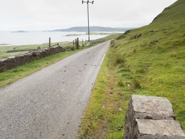
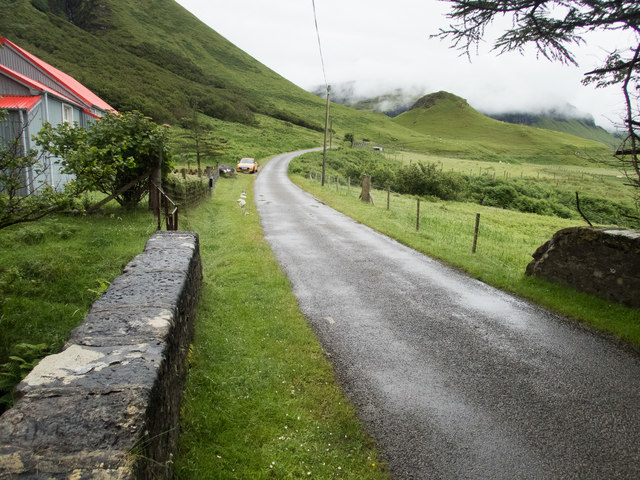
Images are sourced within 2km of 56.426391/-6.1055082 or Grid Reference NM4633. Thanks to Geograph Open Source API. All images are credited.

Igneous escarpment above Balmeanach Tertiary lava flows dominate the view but there are surviving sedimentary rocks, including chalk, here from before the volcanoes, this has led to good farmland along the coast and on Inch Kenneth.
Igneous escarpment above Balmeanach
Tertiary lava flows dominate the view but there are surviving sedimentary rocks, including chalk, here from before the volcanoes, this has led to good farmland along the coast and on Inch Kenneth.
Marshy ground below the B8035 near An Sithean Looking towards a farmstead at Balmeanach in square <a href="https://www.geograph.org.uk/gridref/NM4433">NM4433</a>.
Marshy ground below the B8035 near An Sithean
Looking towards a farmstead at Balmeanach in square NM4433.
Gribun cattle Cattle around a ring-feeder on ground below the B8035 at Gribun, Mull. Inch Kenneth island is across the water and Little Colonsay further off to the left.
Gribun cattle
Cattle around a ring-feeder on ground below the B8035 at Gribun, Mull. Inch Kenneth island is across the water and Little Colonsay further off to the left.
Bridge in upper Glen Seilisteir
Start of the downhill section of the B8073 to Loch na Keal
In the hairpins on the B8035
Coastal road on Mull There are a number of images taken along the Allt na Teangaidh, eg <a href="https://www.geograph.org.uk/photo/4388391">NM4532 : Allt na Teangaidh</a>. This bridge, with a rivet benchmark <a href="https://www.geograph.org.uk/photo/5461761">NM4532 : Benchmark on a bridge parapet</a> at the end of the parapet, is over an unnamed tributary flowing from the cliffs of A Mhaol. The view is along the A8035 (which runs out of the square in about 150m) to the small island of Inch Kenneth and the larger island of Ulva beyond.
Coastal road on Mull
There are a number of images taken along the Allt na Teangaidh, eg NM4532 : Allt na Teangaidh. This bridge, with a rivet benchmark NM4532 : Benchmark on a bridge parapet at the end of the parapet, is over an unnamed tributary flowing from the cliffs of A Mhaol. The view is along the A8035 (which runs out of the square in about 150m) to the small island of Inch Kenneth and the larger island of Ulva beyond.
Benchmark on a bridge parapet The OS description is NBM RIVET NE PARA BR NW END. The bridge parapet and the view from it are shown in <a href="https://www.geograph.org.uk/photo/5461757">NM4532 : Coastal road on Mull</a>.
Benchmark on a bridge parapet
The OS description is NBM RIVET NE PARA BR NW END. The bridge parapet and the view from it are shown in NM4532 : Coastal road on Mull.
On the bridge over the Alltan na Caillich This is looking SE to the fantastic scenery (partly obscured by mist) that overlooks the A8035 and the coast of this part of Mull. The red-roofed house features in <a href="https://www.geograph.org.uk/photo/2944007">NM4534 : Corrugated House by the B8035</a> and  <a href="https://www.geograph.org.uk/photo/3377713">NM4534 : Corrugated iron house at Balnahard</a>. There is a rivet benchmark <a href="https://www.geograph.org.uk/photo/5461779">NM4534 : A well indicated benchmark</a> on the right hand edge of the stone with the large patch of whitish lichen on its left hand edge.
On the bridge over the Alltan na Caillich
This is looking SE to the fantastic scenery (partly obscured by mist) that overlooks the A8035 and the coast of this part of Mull. The red-roofed house features in NM4534 : Corrugated House by the B8035 and NM4534 : Corrugated iron house at Balnahard. There is a rivet benchmark NM4534 : A well indicated benchmark on the right hand edge of the stone with the large patch of whitish lichen on its left hand edge.
A well indicated benchmark The arrow of this rivet benchmark is really obvious, unlike many. The OS description is: RIVET E PARA BR OVER ALLTAN NA CAILLICH 1.3M N END. The bridge is shown in <a href="https://www.geograph.org.uk/photo/5461774">NM4534 : On the bridge over the Alltan na Caillich</a>.
A well indicated benchmark
The arrow of this rivet benchmark is really obvious, unlike many. The OS description is: RIVET E PARA BR OVER ALLTAN NA CAILLICH 1.3M N END. The bridge is shown in NM4534 : On the bridge over the Alltan na Caillich.
Balnahard from Rubha Baile na h-Airde Having avoided the "Wilderness coast" by cutting across the Ardmeanach peninsula from Loch Scridain, the road rejoins the coast just north of Balnahard, where an area of low lying grassland provides enough grazing to support a tiny community. The screes, and cliffs behind rising to 200m face west, across a short and shallow stretch of Loch na Keal towards Inch Kenneth. The connecting reef is responsible for the shelter which has helped form the raised beach, now grassy but with a lot of flag iris which, being too tough to graze, thrives whilst other vegetation is kept down by the sheep.
Balnahard from Rubha Baile na h-Airde
Having avoided the "Wilderness coast" by cutting across the Ardmeanach peninsula from Loch Scridain, the road rejoins the coast just north of Balnahard, where an area of low lying grassland provides enough grazing to support a tiny community. The screes, and cliffs behind rising to 200m face west, across a short and shallow stretch of Loch na Keal towards Inch Kenneth. The connecting reef is responsible for the shelter which has helped form the raised beach, now grassy but with a lot of flag iris which, being too tough to graze, thrives whilst other vegetation is kept down by the sheep.
Allt na Teangaidh The Allt na Teangaidh close to the B8035 flowing north, soon to enter a steepening slot along its course, passing the eastern end of the rocks of Creag a' Ghaill before entering Loch na Keal.
Allt na Teangaidh
The Allt na Teangaidh close to the B8035 flowing north, soon to enter a steepening slot along its course, passing the eastern end of the rocks of Creag a' Ghaill before entering Loch na Keal.
Moorland drained by Allt na Teangaidh The minor watercourse in the foreground is a tributary to the  Allt na Teangaidh which crosses the wider space beyond.
The tiered rocks are on the north-east face of Beinn na h-Iolaire.
Moorland drained by Allt na Teangaidh
The minor watercourse in the foreground is a tributary to the Allt na Teangaidh which crosses the wider space beyond. The tiered rocks are on the north-east face of Beinn na h-Iolaire.
Ribbon lochan below summit of A' Mhaol Mhòr A hill walker at one of the small lochans on the north side of the minor hill, A' Mhaol Mhòr surveys the summit itself through thin mist. The granular, earthy/gravelly material in front of the camera position is similar to that found on other nearby hills, for example, <a title="https://www.geograph.org.uk/photo/5742073" href="https://www.geograph.org.uk/photo/5742073">Link</a>.
Ribbon lochan below summit of A' Mhaol Mhòr
A hill walker at one of the small lochans on the north side of the minor hill, A' Mhaol Mhòr surveys the summit itself through thin mist. The granular, earthy/gravelly material in front of the camera position is similar to that found on other nearby hills, for example, Link.
B8035 heading south As the B8035 heads south at an area known as Gribun it's confined below some very steep ground and Loch Na Keal; here some of the steepness can be seen including the striking cleft of Alltan na Sròine.
B8035 heading south
As the B8035 heads south at an area known as Gribun it's confined below some very steep ground and Loch Na Keal; here some of the steepness can be seen including the striking cleft of Alltan na Sròine.
B8035 crossing slope above Balmeanach Balmeanach is an area of farmed land close to Loch na Keal; it lies below the slope largely out of view in the image. The B8035 continues around the corner climbing to cross a pass before descending to the shore of Loch Scridain.
B8035 crossing slope above Balmeanach
Balmeanach is an area of farmed land close to Loch na Keal; it lies below the slope largely out of view in the image. The B8035 continues around the corner climbing to cross a pass before descending to the shore of Loch Scridain.
Rock face above west shore of Lochan Dùnan nan Nighean Looking south along the west side of Lochan Dùnan nan Nighean. Beyond, the upper slopes of A' Mhaol Mhòr rise into the mist.
Rock face above west shore of Lochan Dùnan nan Nighean
Looking south along the west side of Lochan Dùnan nan Nighean. Beyond, the upper slopes of A' Mhaol Mhòr rise into the mist.
Tributary stream of Abhainn Doire Dhubhaig The Abhainn Doire Dhubhaig and its tributaries drain a bowl of moorland and mountain slope encircled by Ben More, the slopes of which rise into mist, Coirc Bheinn, the other mountain in the image and two other hills - A' Mhaol Mhòr and Dùnan nan Nighean.
Tributary stream of Abhainn Doire Dhubhaig
The Abhainn Doire Dhubhaig and its tributaries drain a bowl of moorland and mountain slope encircled by Ben More, the slopes of which rise into mist, Coirc Bheinn, the other mountain in the image and two other hills - A' Mhaol Mhòr and Dùnan nan Nighean.
Show me another place!

A' Mhaol Mhòr is located at Grid Ref: NM4633 (Lat: 56.426391, Lng: -6.1055082)

Unitary Authority: Argyll and Bute

Police Authority: Argyll and West Dunbartonshire

What 3 Words

///cleanest.civic.stocks. Near Salen, Argyll & Bute

Nearby Locations

A' Mhaol Mhòr

Related Wikis

Samalan Island

Samalan Island is a small island, just off the Isle of Mull at the mouth of Loch na Keal in the Inner Hebrides, Scotland. To its south west is the island...

St Kenneth's Chapel

St. Kenneth's Chapel is a ruined chapel on Inch Kenneth Island, Parish of Kilfinichen and Kilvickeon, Isle of Mull, Argyll and Bute, Scotland. It dates...

Inch Kenneth

Inch Kenneth (Scottish Gaelic: Innis Choinnich) is a small grassy island off the west coast of the Isle of Mull, in Scotland. It is at the entrance of...

Ardmeanach

Ardmeanach in modern times refers to a peninsula on the Isle of Mull. It is the middle one out of three westward-facing peninsulas on the island, and the...

Have you been to A' Mhaol Mhòr?

Leave your review of A' Mhaol Mhòr below (or comments, questions and feedback).