An Crosan

Hill, Mountain in Argyllshire

Scotland

An Crosan

Track in what remains of Scoor Forest
Track in what remains of Scoor Forest Credit: Andy Waddington

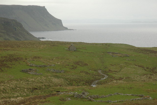
An Crosan is a prominent hill located in Argyllshire, Scotland. Standing at an elevation of approximately 400 meters, it is classified as a mountain. The hill is situated near the small village of Kilcreggan, offering breathtaking views of the surrounding area.

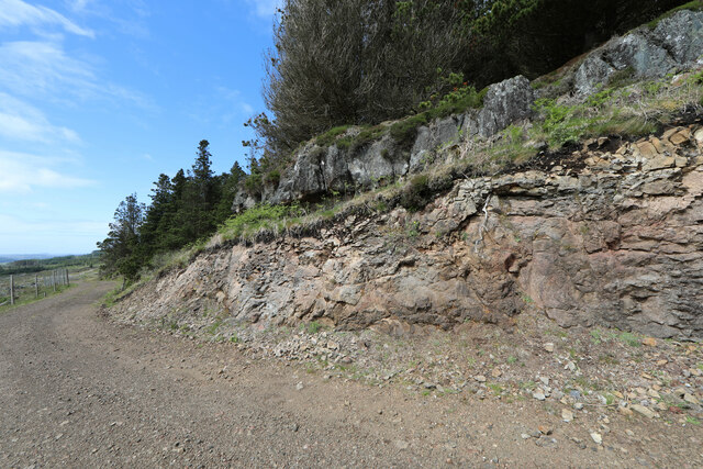
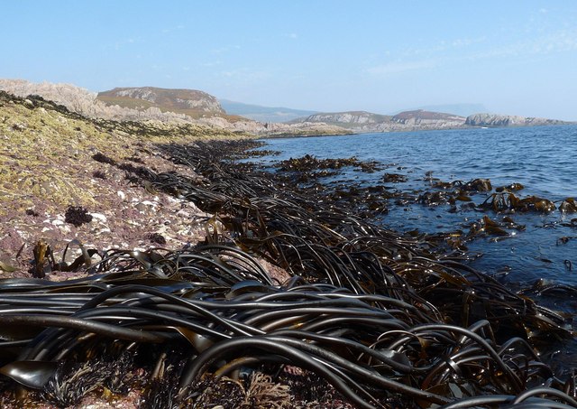
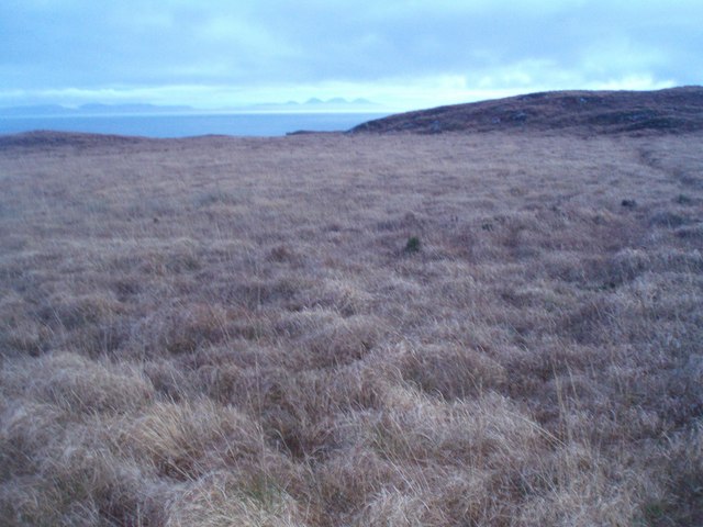
The terrain of An Crosan is characterized by a mixture of grassy slopes, rocky outcrops, and heather-covered moorlands. The hill is renowned for its diverse flora and fauna, attracting nature enthusiasts and hikers from far and wide. Visitors can expect to encounter various species of birds, including golden eagles, buzzards, and peregrine falcons, as well as red deer and Highland cattle.

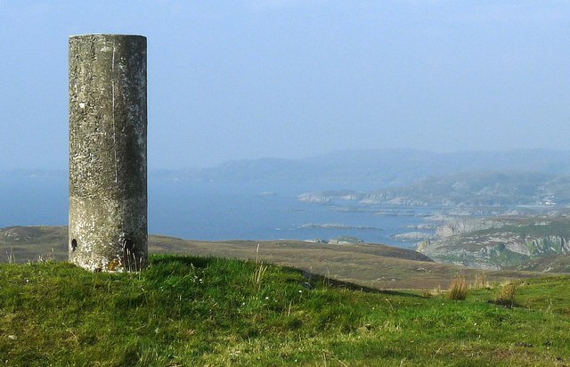
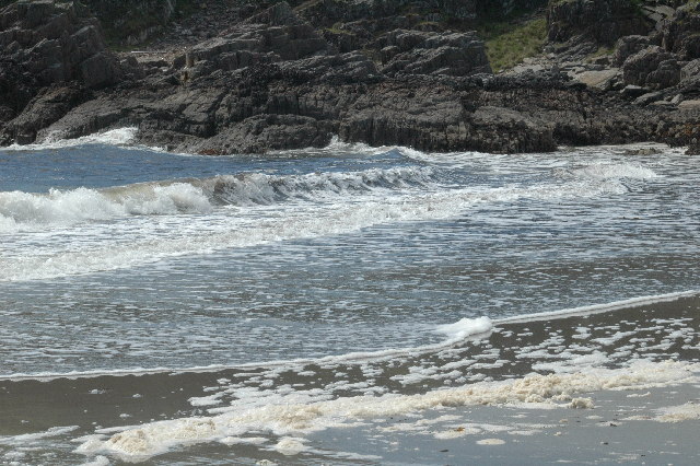
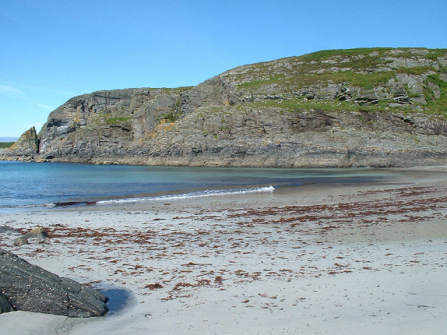
Reaching the summit of An Crosan requires a moderate level of fitness and a good pair of walking boots, as the ascent can be steep in some sections. However, the rewarding panoramic vistas of the nearby Loch Long and the surrounding hills make the effort worthwhile.

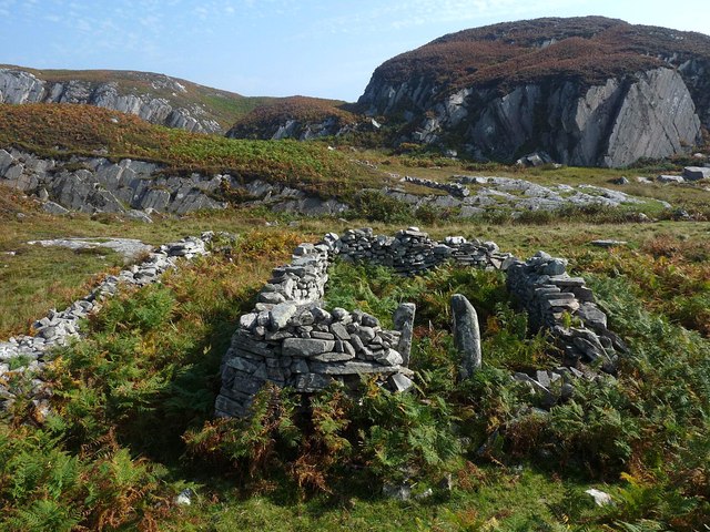
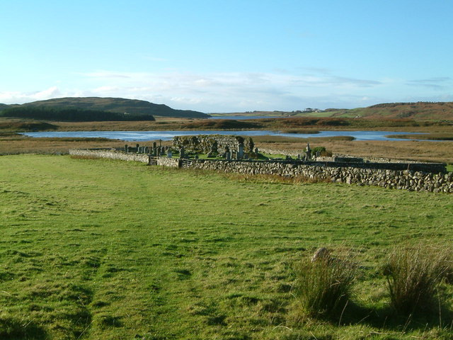
The hill is also rich in historical significance, with remnants of ancient settlements and burial grounds scattered across its slopes. These archaeological sites provide a glimpse into the area's past and offer a unique opportunity for exploration and discovery.

For those seeking outdoor adventures, An Crosan offers a range of activities, including hillwalking, mountaineering, and wildlife spotting. The hill's proximity to Kilcreggan makes it easily accessible, with ample parking and well-marked trails for visitors to follow.

In conclusion, An Crosan is a captivating hill in Argyllshire, offering a combination of scenic beauty, rich wildlife, and historical interest. It provides a perfect destination for nature lovers and outdoor enthusiasts looking to immerse themselves in the stunning Scottish landscape.

If you have any feedback on the listing, please let us know in the comments section below.
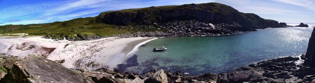
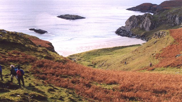
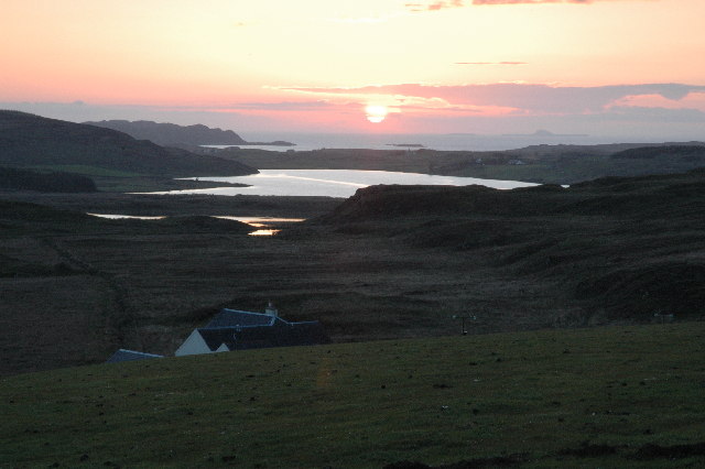
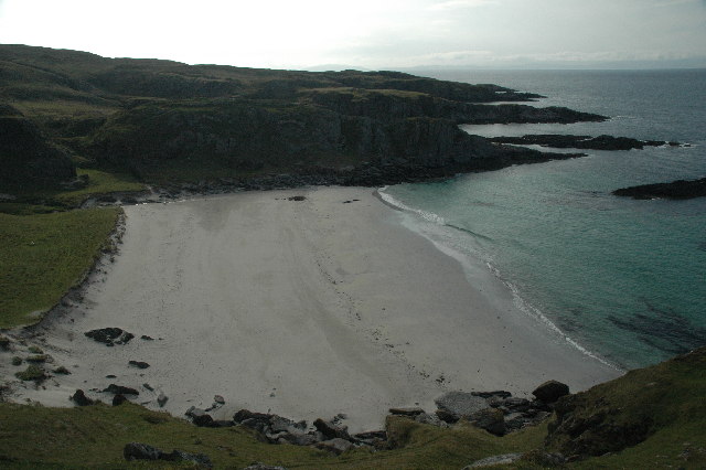
An Crosan Images

Images are sourced within 2km of 56.299774/-6.1602049 or Grid Reference NM4219. Thanks to Geograph Open Source API. All images are credited.

Track in what remains of Scoor Forest
Track passes through almost fully clearcut forest
Forest track cut through lava flow
Minor stream in Scoor Forest clearcut This minor tributary of the Allt an Fhir-eòin has a big jog in its course that looks as though it has captured the headwaters of the Allt Beinn Chùl-achaidh which formerly flowed west, bringing the water south to cross the Scoor Forest track.
Minor stream in Scoor Forest clearcut
This minor tributary of the Allt an Fhir-eòin has a big jog in its course that looks as though it has captured the headwaters of the Allt Beinn Chùl-achaidh which formerly flowed west, bringing the water south to cross the Scoor Forest track.
Triangulation pillar, Maol na Sgùrra, Isle of Mull Looking along the southern coastline of the Ross of Mull.
Triangulation pillar, Maol na Sgùrra, Isle of Mull
Looking along the southern coastline of the Ross of Mull.
Ruined building above Tràigh Bhàn, Isle of Mull The building was already shown as unroofed on the 1st edition OS six inch map which was surveyed in 1878.
Ruined building above Tràigh Bhàn, Isle of Mull
The building was already shown as unroofed on the 1st edition OS six inch map which was surveyed in 1878.
Kelp on the shoreline of the Ross of Mull, Isle of Mull Looking towards Malcolm's Point (faint high ground on right hand side horizon).
Kelp on the shoreline of the Ross of Mull, Isle of Mull
Looking towards Malcolm's Point (faint high ground on right hand side horizon).
Looking east from Garbh Eilean One of many beautiful and undisturbed beaches on the Ross of Mull
Looking east from Garbh Eilean
One of many beautiful and undisturbed beaches on the Ross of Mull
Tràigh Bhàn na Sgùrra One of a series of sandy coves on the south coast of the Ross of Mull
Tràigh Bhàn na Sgùrra
One of a series of sandy coves on the south coast of the Ross of Mull
Loch Assapol from Scoor House The sunset from behind Scoor House, looking NW across the fields to Loch Assapol with the Treshnish Islands beyond.
Loch Assapol from Scoor House
The sunset from behind Scoor House, looking NW across the fields to Loch Assapol with the Treshnish Islands beyond.
Traigh Bhan na Sgurra Early morning at Scoor Beach with the tide out.
Traigh Bhan na Sgurra
Early morning at Scoor Beach with the tide out.
Shiaba Shiaba was a crofting township on the Ross of Mull. The 130 residents were cleared to make way for sheep. These are the remains of their houses.
Shiaba
Shiaba was a crofting township on the Ross of Mull. The 130 residents were cleared to make way for sheep. These are the remains of their houses.
Waterfall on Ross of Mull This is one of the many waterfalls in this area.
Waterfall on Ross of Mull
This is one of the many waterfalls in this area.
Traigh Bhan The beach at Traigh Bhan, one of a number on this part of the Ross of Mull.
Traigh Bhan
The beach at Traigh Bhan, one of a number on this part of the Ross of Mull.
Kilvickeon Beach, Isle of Mull This is the beach in the North-East corner of the square - the photo is taken from NM409186 looking West. For a panoramic view of this beach, see adjoining grid square <a href="https://www.geograph.org.uk/gridref/NM4118">NM4118</a>.
Kilvickeon Beach, Isle of Mull
This is the beach in the North-East corner of the square - the photo is taken from NM409186 looking West. For a panoramic view of this beach, see adjoining grid square NM4118.
Sunrise, South Mull Looking over Traigh Bhan na Sgurra beach towards the distant Paps of Jura on the penultimate day of 2007.
Sunrise, South Mull
Looking over Traigh Bhan na Sgurra beach towards the distant Paps of Jura on the penultimate day of 2007.
Tussocks and Bog You can't see the bog in the photo but it was certainly all around, and typical tussocky Mull terrain - ankle turning at every step.
After a day spent on the dramatic south coast of Mull it seemed an anti-climax to walk across this ground, but at least the views to Jura made up for it.
Tussocks and Bog
You can't see the bog in the photo but it was certainly all around, and typical tussocky Mull terrain - ankle turning at every step. After a day spent on the dramatic south coast of Mull it seemed an anti-climax to walk across this ground, but at least the views to Jura made up for it.
Old church on shore of Loch Assapol, Mull
Show me another place!

An Crosan is located at Grid Ref: NM4219 (Lat: 56.299774, Lng: -6.1602049)

Unitary Authority: Argyll and Bute

Police Authority: Argyll and West Dunbartonshire

What 3 Words

///staging.factoring.meanwhile. Near Fionnphort, Argyll & Bute

Nearby Locations

An Crosan

Related Wikis

Shiaba

Shiaba (Scottish Gaelic: Siaba) is a ruined township located on the southwestern peninsula of the Isle of Mull, Scotland. It lies about 8 km to the east...

Uisken

Uisken (Scottish Gaelic: Uisgean, meaning "water-bay") is a settlement on a sandy bay on the Ross of Mull in the south of the Isle of Mull, on the west...

Knockan

Knockan (Scottish Gaelic: An Cnocan) is a township of six crofts in the community of Ardtun, in the south of the Isle of Mull off the west coast of Scotland...

Ardtun

Ardtun (Scottish Gaelic: Àird Tunna) is a settlement on the Isle of Mull, in Argyll and Bute, Scotland. Ardtun is within the parish of Kilfinichen and...

Have you been to An Crosan?

Leave your review of An Crosan below (or comments, questions and feedback).