Heydour

Settlement in Lincolnshire South Kesteven

England

Heydour

New year's noon-day walk-past and fly-past At 12:00 noon on the dot, my photo of a couple walking alongside the small lake at Culverthorpe Park was photo-bombed by what appears to be an egret in flight!
New year's noon-day walk-past and fly-past Credit: Ian Paterson

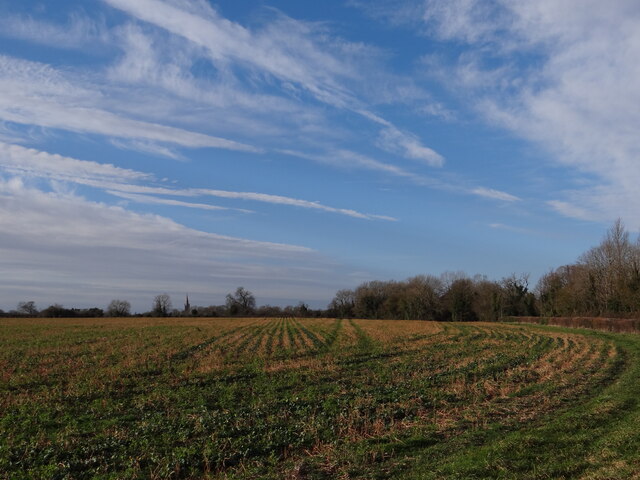
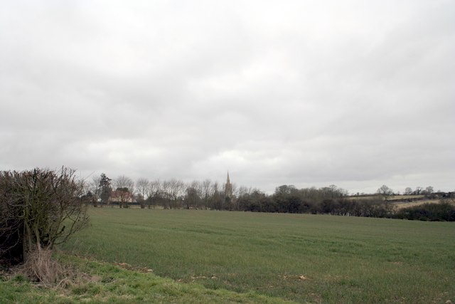
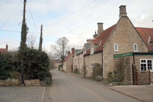
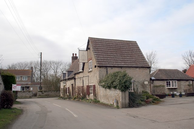
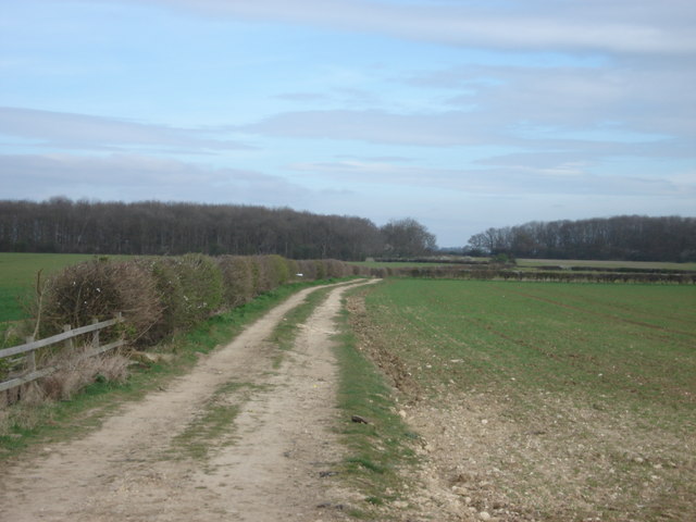
Heydour is a small village located in the county of Lincolnshire, England. Situated approximately 8 miles northeast of Grantham, the village falls within the civil parish of Oasby and Heydour. Heydour is surrounded by picturesque countryside, offering residents and visitors a peaceful and scenic environment.

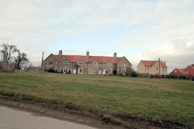
The village is home to a population of around 100 people, residing in a mix of traditional cottages and newer houses. Heydour has a close-knit community, with a village hall that serves as a hub for various social events and gatherings throughout the year.

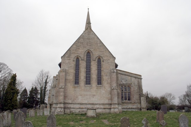
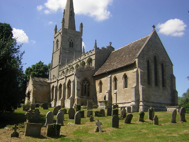
One of the notable landmarks in Heydour is the St. Michael and All Angels Church, a Grade II listed building dating back to the 12th century. The church features beautiful stained glass windows and architectural details, attracting history enthusiasts and visitors interested in medieval architecture.

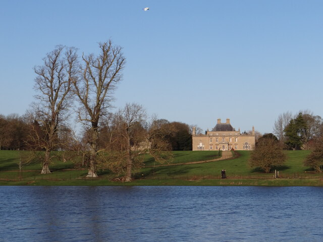
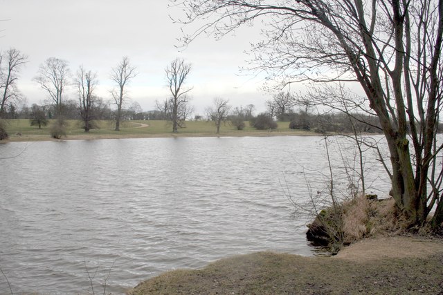
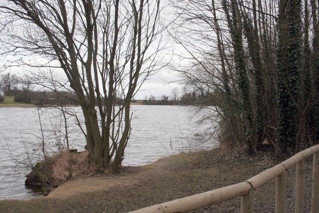
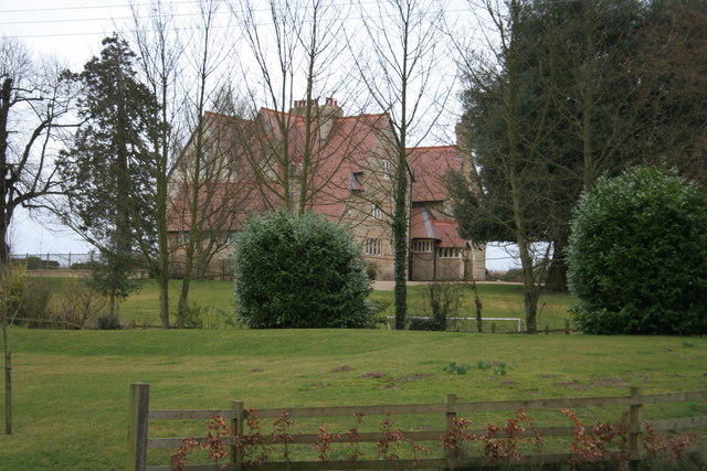
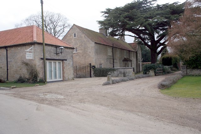
The village is also known for its proximity to Heydour Park, a country estate that was originally built in the 17th century. Today, the park offers stunning gardens and a tranquil setting for leisurely walks or picnics.

For amenities and services, residents of Heydour typically travel to nearby towns and villages, such as Grantham or Sleaford, where they can find a wider range of shops, schools, and healthcare facilities.

Overall, Heydour is a charming village with a rich history and natural beauty, providing a peaceful and idyllic lifestyle for its residents.

If you have any feedback on the listing, please let us know in the comments section below.
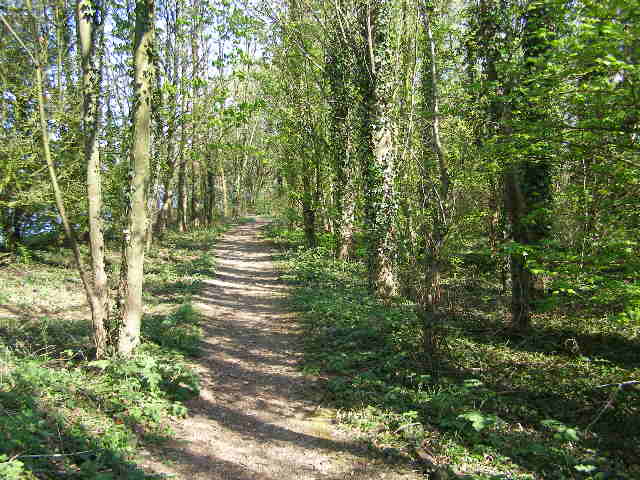
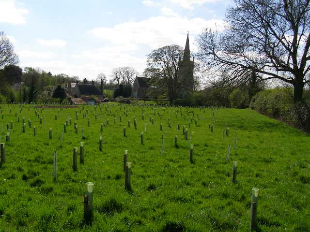
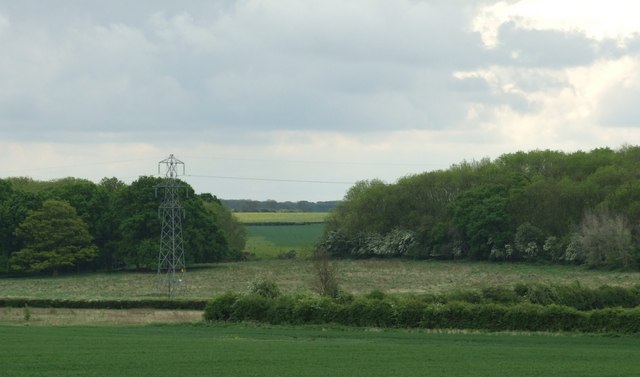
Heydour Images

Images are sourced within 2km of 52.943988/-0.498755 or Grid Reference TF0039. Thanks to Geograph Open Source API. All images are credited.

New year's noon-day walk-past and fly-past At 12:00 noon on the dot, my photo of a couple walking alongside the small lake at Culverthorpe Park was photo-bombed by what appears to be an egret in flight!
New year's noon-day walk-past and fly-past
At 12:00 noon on the dot, my photo of a couple walking alongside the small lake at Culverthorpe Park was photo-bombed by what appears to be an egret in flight!
Over the field to Heydour Taken in a field opposite Culverthorpe Park.  The spire of St Michaels's and all Angels can be seen in the distance <a href="https://www.geograph.org.uk/photo/6802182">TF0039 : Church of St Michael and All Angels, Heydour</a>.
Over the field to Heydour
Taken in a field opposite Culverthorpe Park. The spire of St Michaels's and all Angels can be seen in the distance TF0039 : Church of St Michael and All Angels, Heydour.
St.Michael's church, Heydour, Lincs. fascinating architecture from Early English to Perpendicular - A big church for a small village.
St.Michael's church, Heydour, Lincs.
fascinating architecture from Early English to Perpendicular - A big church for a small village.
Ornamental Lake at Culverthorpe Hall
Lake at Culverthorpe Hall Looking towards the dam at Culverthorpe Hollow end
Lake at Culverthorpe Hall
Looking towards the dam at Culverthorpe Hollow end
Across the fields to the church spire at Heydour
St Michael's Church, Heydour
Heydour House
Heydour House
Aisby Village Green
Aisby Village Green
Back Lane Oasby
Back Lane Oasby
Village Inn, Oasby.  Houblon Arms Built around 1650, the inn was initially called ‘The Old Red Lion’ and later renamed after Sir John Houblon, one of the main land-owners in the area, and the first governor of the Bank of England.
Village Inn, Oasby. Houblon Arms
Built around 1650, the inn was initially called ‘The Old Red Lion’ and later renamed after Sir John Houblon, one of the main land-owners in the area, and the first governor of the Bank of England.
Oasby House
Oasby House
View towards Nightingale Plantation
Stretch of shady footpath - round Culverthorpe Lake This footpath view is close to the Culverthorpe Hall public carpark and is part of a short circular route round the larger lake; a stretch of the route is, however, along the edge of a road.
Stretch of shady footpath - round Culverthorpe Lake
This footpath view is close to the Culverthorpe Hall public carpark and is part of a short circular route round the larger lake; a stretch of the route is, however, along the edge of a road.
New plantation to the rear of Heydour church This is a new plantation of mixed young trees; with space being left on the right for the footpath wanderers of the future - when the trees have grown and changed the view.
New plantation to the rear of Heydour church
This is a new plantation of mixed young trees; with space being left on the right for the footpath wanderers of the future - when the trees have grown and changed the view.
Dembleby thorns Dembleby Thorns and Little Ash Wood near Aisby from the Northwest.
Dembleby thorns
Dembleby Thorns and Little Ash Wood near Aisby from the Northwest.
New planting "Nibbleguards" protect newly planted trees near to Aisby, Heydour Southings provide the backdrop.
New planting
"Nibbleguards" protect newly planted trees near to Aisby, Heydour Southings provide the backdrop.
Welcome to Oasby! This 'guy' is advertising the Oasby and Aisby Scarecrow Treasure Hunt.  Residents create their own scarecrows and leave them outside their homes!
Welcome to Oasby!
This 'guy' is advertising the Oasby and Aisby Scarecrow Treasure Hunt. Residents create their own scarecrows and leave them outside their homes!
Show me another place!

Heydour is located at Grid Ref: TF0039 (Lat: 52.943988, Lng: -0.498755)

Division: Parts of Kesteven

Administrative County: Lincolnshire

District: South Kesteven

Police Authority: Lincolnshire

What 3 Words

///ooze.takers.scrubbing. Near Ancaster, Lincolnshire

Nearby Locations

Oasby Heydour

Related Wikis

Heydour

Heydour is a hamlet and civil parish in the South Kesteven district of Lincolnshire, England. The parish population of 286 at the 2001 census rose to 311...

Oasby

Oasby is a hamlet in the civil parish of Heydour, in the South Kesteven district of Lincolnshire, England. It lies 7 miles (11 km) north-east of Grantham...

Aisby, South Kesteven

Aisby is a village in the civil parish of Heydour, in the South Kesteven district of Lincolnshire, England. It is situated 1 mile (1.6 km) north from the...

Culverthorpe Hall

Culverthorpe Hall, Culverthorpe, Lincolnshire, England is an 18th-century country house. It is a Grade I listed building. == History == In the 17th century...

Nearby Amenities

Located within 500m of 52.943988,-0.498755
Bus Stop
Cemetery
Naptan AtcoCode: 270000008978
Naptan Bearing: NE
Naptan CommonName: Cemetery
Naptan Indicator: adj
Naptan Landmark: Heydour Cemetery
Naptan NaptanCode: lingwjwt
Naptan Street: Heydour
Naptan Verified: no
Source: naptan_import
Lat/Long: 52.9418251/-0.4970354
Bus Stop
Cemetery
Naptan AtcoCode: 2700LHC06310
Naptan Bearing: SW
Naptan CommonName: Cemetery
Naptan Indicator: opp
Naptan Landmark: Heydour Cemetery
Naptan NaptanCode: lingawma
Naptan Street: Heydour
Naptan Verified: no
Source: naptan_import
Lat/Long: 52.9417873/-0.4968879
Spinney Farm
Place: farm
Source: Bing
Lat/Long: 52.940056/-0.5009263
Heydour
Place: hamlet
Lat/Long: 52.9434476/-0.4989742
The data included in this document is from www.openstreetmap.org. The data is made available under ODbL.

Have you been to Heydour?

Leave your review of Heydour below (or comments, questions and feedback).