Am Màm
Hill, Mountain in Argyllshire
Scotland
Am Màm

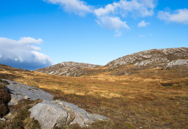
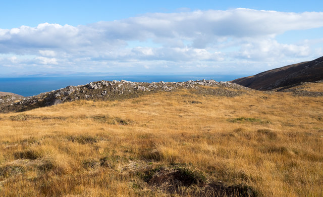
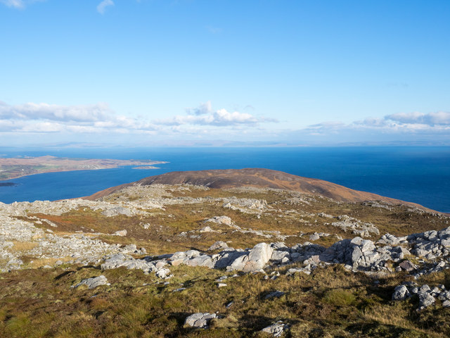
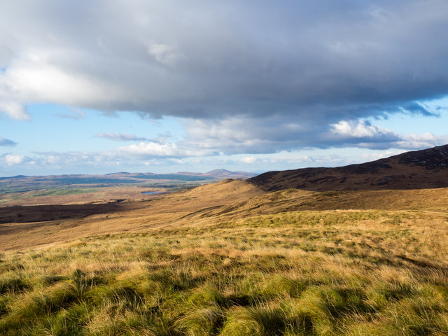
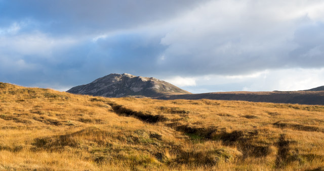
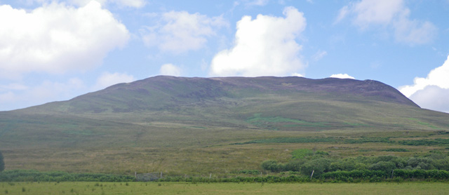
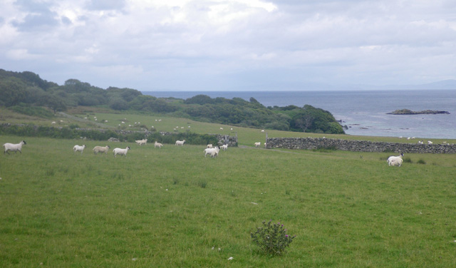
Am Màm is a prominent hill located in Argyllshire, Scotland. It stands at an elevation of approximately 575 meters (1,886 feet) above sea level, making it a notable peak in the region. The hill is situated within the stunning landscape of the Scottish Highlands, offering breathtaking views of the surrounding area.
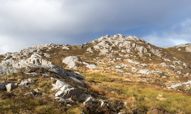
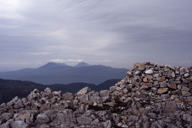
Am Màm is known for its rugged terrain and rocky slopes, which present a challenge for hikers and mountaineers seeking to conquer its summit. The ascent to the top can be demanding but rewarding, with panoramic vistas of the nearby lochs, glens, and mountains.
The hill is a popular destination for outdoor enthusiasts, who can indulge in a range of activities such as hiking, hillwalking, and photography. The surrounding area is rich in biodiversity, with diverse flora and fauna thriving in the Highland environment. Visitors may encounter various species of birds, including raptors such as golden eagles and peregrine falcons.
The hill's location in Argyllshire offers convenient access to nearby towns and villages, such as Oban and Fort William, which provide amenities for travelers. Additionally, the surrounding area is dotted with ancient historical sites, including castles and stone circles, providing opportunities for cultural exploration.
Whether one is seeking a challenging adventure or simply a peaceful walk amidst stunning natural beauty, Am Màm in Argyllshire is a must-visit destination for nature lovers and outdoor enthusiasts alike.
If you have any feedback on the listing, please let us know in the comments section below.
Am Màm Images
Images are sourced within 2km of 55.743408/-6.1024485 or Grid Reference NR4257. Thanks to Geograph Open Source API. All images are credited.


Am Màm is located at Grid Ref: NR4257 (Lat: 55.743408, Lng: -6.1024485)
Unitary Authority: Argyll and Bute
Police Authority: Argyll and West Dunbartonshire
What 3 Words
///gamer.alienated.zebra. Near Ballygrant, Argyll & Bute
Nearby Locations
Related Wikis
Beinn Bheigeir
Beinn Bheigeir (occasionally anglicised as "Ben Vicar") is a hill on the island of Islay in Scotland, UK. At 491 m, it is the highest of the seven 'Marilyn...

Islay
Islay ( EYE-lə; Scottish Gaelic: Ìle, Scots: Ila) is the southernmost island of the Inner Hebrides of Scotland. Known as "The Queen of the Hebrides",...
Ardtalla
Ardtalla (Scottish Gaelic: 'Àird Talla') is a place name and estate in the southeast coastal area of Islay, Scotland. The name derives from Gaelic Àird...

Claggain Bay
Claggain Bay is an inlet on the southeast of Islay, Scotland. A well known walking path follows near to Claggain Bay and continues to Ardtalla. == See... ==

Dun Nosebridge
Dun Nosebridge is an Iron Age fort southeast of Bridgend, Islay, Scotland. The fort is on the right bank of the River Laggan.The name's origin is probably...
Mulindry House
Mulindry House, also known as Caisteal Mhic Dhomhnuill or Mullintrae House, was a fortified house north of Mulindry Farm, Islay, Scotland. == History... ==

Claig Castle
Claig Castle was a stronghold of the Clan Donald or MacDonald in the south of Scotland. == History == The castle was once a massive fort described as a...

Aros Bay
Aros Bay is an embayment of ocean waters near the southeast of Islay, Scotland. == See also == Claggain Bay == Line notes == == References == Alexander...
Have you been to Am Màm?
Leave your review of Am Màm below (or comments, questions and feedback).