Am Meall
Hill, Mountain in Argyllshire
Scotland
Am Meall
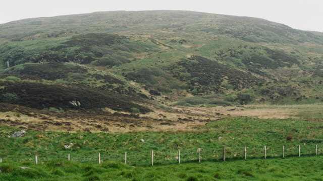
Am Meall, also known as Meall Nan Tarmachan, is a prominent hill located in Argyllshire, Scotland. Situated in the southern part of the country, it forms part of the Tarmachan Ridge and is a popular destination for hikers and outdoor enthusiasts.
Standing at an elevation of 923 meters (3,028 feet), Am Meall offers breathtaking panoramic views of the surrounding landscape. The hill is characterized by its steep slopes, rocky terrain, and a distinct summit ridge that stretches for approximately 2 kilometers (1.2 miles). The summit itself is marked by a trig point, providing a clear reference point for visitors.
The ascent to Am Meall can be challenging, with sections of the path requiring scrambling and careful navigation. However, the effort is rewarded with stunning vistas of Loch Tay, the Ben Lawers range, and the surrounding mountains of Argyllshire. On clear days, even the distant peaks of the Cairngorms National Park can be seen.
The hill is easily accessible from the nearby village of Killin, where several walking routes begin. The most popular approach is from the Ben Lawers National Nature Reserve car park, which offers a well-maintained trail leading towards the summit. The hike typically takes around 4-5 hours to complete, depending on the fitness level of the individual.
Overall, Am Meall in Argyllshire is a captivating mountain that offers a challenging yet rewarding experience for outdoor enthusiasts. Its stunning views and rugged terrain make it a must-visit location for anyone seeking an adventure in the Scottish Highlands.
If you have any feedback on the listing, please let us know in the comments section below.
Am Meall Images
Images are sourced within 2km of 55.824878/-6.1151549 or Grid Reference NR4266. Thanks to Geograph Open Source API. All images are credited.
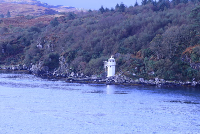
![Building (Period Unassigned) Not sure is recorded for this pair of ruins. For further info. see Canmore.org.uk. Islay, Kilslevan | Canmore. Available online at: <span class="nowrap"><a title="https://canmore.org.uk/site/155645/islay-kilslevan" rel="nofollow ugc noopener" href="https://canmore.org.uk/site/155645/islay-kilslevan">Link</a><img style="margin-left:2px;" alt="External link" title="External link - shift click to open in new window" src="https://s1.geograph.org.uk/img/external.png" width="10" height="10"/></span> [Accessed 29 May 2022].](https://s1.geograph.org.uk/geophotos/07/18/55/7185525_f2eb2f38.jpg)
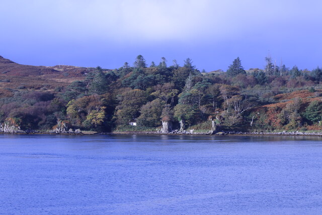
![Building (Period Unassigned) Not sure is recorded for this pair of ruins. For further info. see Canmore.org.uk. Islay, Kilslevan | Canmore. Available online at: <span class="nowrap"><a title="https://canmore.org.uk/site/155645/islay-kilslevan" rel="nofollow ugc noopener" href="https://canmore.org.uk/site/155645/islay-kilslevan">Link</a><img style="margin-left:2px;" alt="External link" title="External link - shift click to open in new window" src="https://s1.geograph.org.uk/img/external.png" width="10" height="10"/></span> [Accessed 29 May 2022].](https://s2.geograph.org.uk/geophotos/07/18/55/7185538_ab35b0f3.jpg)


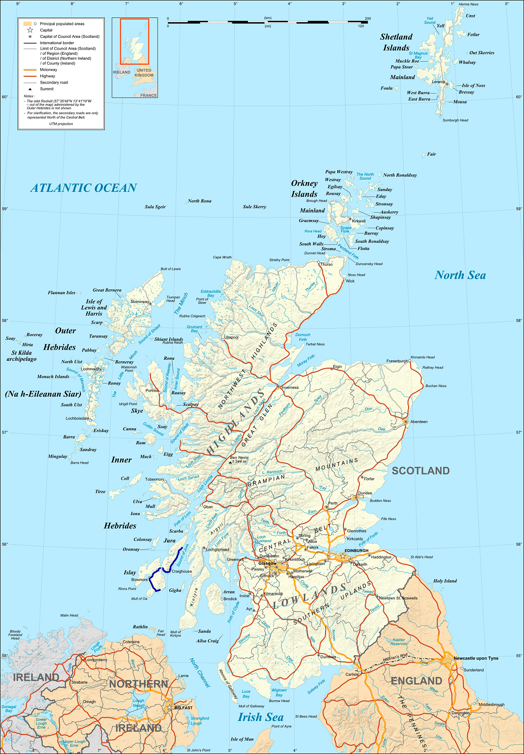
Am Meall is located at Grid Ref: NR4266 (Lat: 55.824878, Lng: -6.1151549)
Unitary Authority: Argyll and Bute
Police Authority: Argyll and West Dunbartonshire
What 3 Words
///coverage.perusing.croak. Near Port Askaig, Argyll & Bute
Nearby Locations
Related Wikis

Dunlossit House
Dunlossit House is a Category C listed country house near Port Askaig, Islay in the county of Argyll, in western Scotland.. == History and architecture... ==
A846 road
The A846 road is one of the two principal roads of Islay in the Inner Hebrides off the west coast of mainland Scotland and the only 'A' road on the neighbouring...

Port Askaig
Port Askaig (Scottish Gaelic: Port Asgaig) is a port village on the east coast of the island of Islay, in Scotland. The village lies on the Sound of Islay...

Ballygrant
Ballygrant (Scottish Gaelic: Baile a' Ghràna) is a small village on the Inner Hebrides island of Islay of the western coast of Scotland. The village is...
Have you been to Am Meall?
Leave your review of Am Meall below (or comments, questions and feedback).