Am Maol

Hill, Mountain in Inverness-shire

Scotland

Am Maol

B885 passing standing and felled forest
B885 passing standing and felled forest Credit: Alpin Stewart

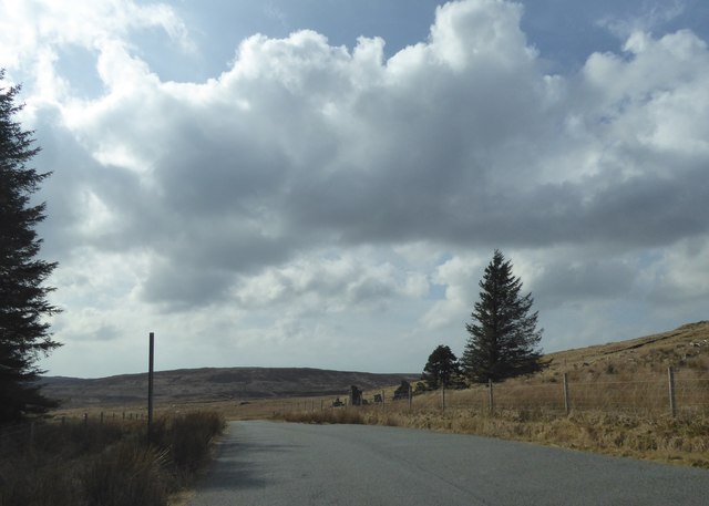
Am Maol is a prominent hill located in Inverness-shire, Scotland. It is part of the rugged and picturesque Scottish Highlands, offering stunning views of the surrounding landscape. The hill stands at an elevation of 805 meters (2,641 feet) above sea level, making it a popular destination for hikers and outdoor enthusiasts looking to challenge themselves with a steep and rewarding climb.

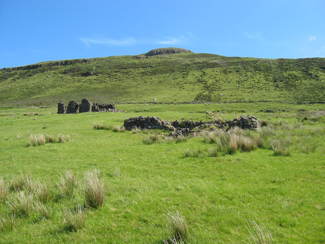
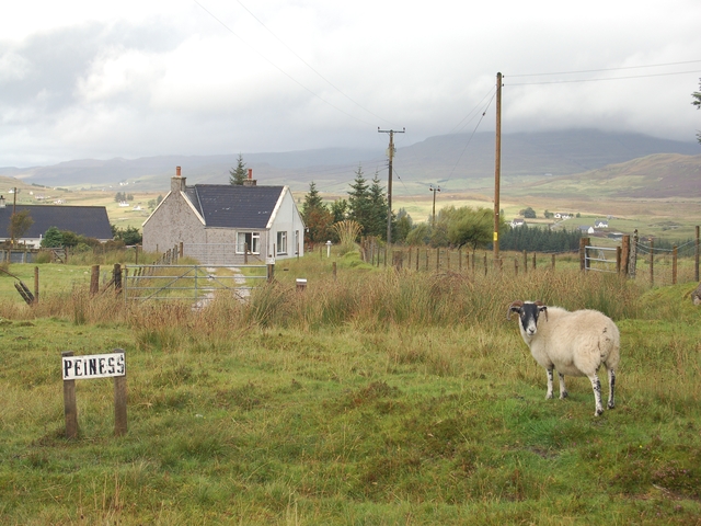
The terrain of Am Maol is characterized by rocky outcrops, heather-covered slopes, and patches of dense woodland. The hill is home to a diverse range of wildlife, including red deer, mountain hares, and various bird species, making it a great spot for nature lovers to observe and appreciate the local flora and fauna.

Visitors to Am Maol can enjoy a challenging hike to the summit, where they will be rewarded with panoramic views of the surrounding countryside, including nearby Loch Ness and the Great Glen. The hill is easily accessible from the town of Inverness, making it a popular choice for day trips and outdoor adventures in the Scottish Highlands.

If you have any feedback on the listing, please let us know in the comments section below.

Am Maol Images

Images are sourced within 2km of 57.393591/-6.3183752 or Grid Reference NG4041. Thanks to Geograph Open Source API. All images are credited.

B885 passing standing and felled forest
Ruined building by the B885
Deforestation and tree blow
Loch Duagrich Viewed here from just above the shore close to its eastern end. The loch is the largest natural freshwater loch on the Isle of Skye.
Loch Duagrich
Viewed here from just above the shore close to its eastern end. The loch is the largest natural freshwater loch on the Isle of Skye.
Loch Duagrich A distant shot looking east from the Glenmore Road of a sparkling remote loch. The Abhainn an Acha-leathan meanders before joining the River Snizort.
Loch Duagrich
A distant shot looking east from the Glenmore Road of a sparkling remote loch. The Abhainn an Acha-leathan meanders before joining the River Snizort.
Eastern end of Loch Duagrich The Abhainn an Acha-leathain flows out of the loch - the largest freshwater loch on Skye - to eventually join the Glenmore River and then become River Snizort - Skye's longest river.
Eastern end of Loch Duagrich
The Abhainn an Acha-leathain flows out of the loch - the largest freshwater loch on Skye - to eventually join the Glenmore River and then become River Snizort - Skye's longest river.
Turn right off the path at the signpost OK, so there isn't really a path - just a boggy and barely visible deer or sheep-trail. And as for a signpost - look carefully, there's a two-feet tall stick poking out of the grass and heather right of centre. The reason that an occasional human ventures to this remote spot is to visit the remarkably well preserved bronze age earth house which is currently surrounded by the forest which grows here. The makeshift signpost marks the forest firebreak one needs to enter in which to find the structure.
Turn right off the path at the signpost
OK, so there isn't really a path - just a boggy and barely visible deer or sheep-trail. And as for a signpost - look carefully, there's a two-feet tall stick poking out of the grass and heather right of centre. The reason that an occasional human ventures to this remote spot is to visit the remarkably well preserved bronze age earth house which is currently surrounded by the forest which grows here. The makeshift signpost marks the forest firebreak one needs to enter in which to find the structure.
Tungadal Souterrain The boulders in the immediate foreground are part of an enclosure around the site.  The grass and moss covered stones in the centre of the picture are a wall beyond which is a very small entrance into a large underground structure, believed to have been constructed at least 4,000 years ago. Although partially collapsed, it is mostly in remarkable condition. The site is currently surrounded by trees which are part of the vast Tungadal Forest.
Tungadal Souterrain
The boulders in the immediate foreground are part of an enclosure around the site. The grass and moss covered stones in the centre of the picture are a wall beyond which is a very small entrance into a large underground structure, believed to have been constructed at least 4,000 years ago. Although partially collapsed, it is mostly in remarkable condition. The site is currently surrounded by trees which are part of the vast Tungadal Forest.
Entrance to Tungadal Souterrain Behind the wall, the hillside rises gently. The hole in the wall is the entrance to a large underground structure, which is a bronze-age earth house. The truly adventurous may be tempted to crawl inside. I just stood and gazed in wonder from the outside. Can it really have stood here for over 4,000 years...?
Entrance to Tungadal Souterrain
Behind the wall, the hillside rises gently. The hole in the wall is the entrance to a large underground structure, which is a bronze-age earth house. The truly adventurous may be tempted to crawl inside. I just stood and gazed in wonder from the outside. Can it really have stood here for over 4,000 years...?
Ruin in Tungadal Forest This ruin stands within the same clearing in the forest as the Tungadal souterrain.
Ruin in Tungadal Forest
This ruin stands within the same clearing in the forest as the Tungadal souterrain.
Clearfelling along the B885 road A textbook example of poor forest management.
Clearfelling along the B885 road
A textbook example of poor forest management.
B885 to Struan
B885 to Struan
Ruined House The remains of a house on the edge of a forest.
Ruined House
The remains of a house on the edge of a forest.
Am Maol Looking south to the northern slopes of Am Maol
Am Maol
Looking south to the northern slopes of Am Maol
Loch Duagrich The east end of the loch, where the River Snizort flows from it.
Loch Duagrich
The east end of the loch, where the River Snizort flows from it.
Tungadale Souterrain The entrance to Tungadale Souterrain, a seven metre long underground passage constructed in the bronze age. This one is very remote and very tricky to locate on a steep hillside in a forest.
Tungadale Souterrain
The entrance to Tungadale Souterrain, a seven metre long underground passage constructed in the bronze age. This one is very remote and very tricky to locate on a steep hillside in a forest.
River Snizort On the near side of the river there is a very indistinct boundary between land and water. Treacherously boggy ground.
River Snizort
On the near side of the river there is a very indistinct boundary between land and water. Treacherously boggy ground.
Am Maol The unimaginatively named Am Maol rises to about 700ft from the moorland of central Skye.
Am Maol
The unimaginatively named Am Maol rises to about 700ft from the moorland of central Skye.
Show me another place!

Am Maol is located at Grid Ref: NG4041 (Lat: 57.393591, Lng: -6.3183752)

Unitary Authority: Highland

Police Authority: Highlands and Islands

What 3 Words

///unicorns.draw.thinnest. Near Portree, Highland

Nearby Locations

Am Maol

Related Wikis

Mugeary

Mugeary (Scottish Gaelic: Mùigearraidh) is a farm or croft and former settlement on the island of Skye, Scotland. Located 4 kilometres (2+1⁄2 miles) southwest...

Uigshader

Uigshader (from Old Norse Vík-sœtr 'dwelling at the riverbend', Scottish Gaelic: Ùigseadar) is a settlement on the Isle of Skye in Scotland.The settlement...

Bracadale

Bracadale (Scottish Gaelic: Bracadal) is a settlement and parish on the Isle of Skye in Scotland. It lies on the west coast of the island, west-south-west...

A863 road

The A863 road is one of the principal roads of the Isle of Skye in the Inner Hebrides off the west coast of mainland Scotland.It connects the town of Dunvegan...

Nearby Amenities

Located within 500m of 57.393591,-6.3183752
Am Maol
Ele: 212
Natural: peak
Source: OS 7th series historical
Lat/Long: 57.3934578/-6.318847
The data included in this document is from www.openstreetmap.org. The data is made available under ODbL.

Have you been to Am Maol?

Leave your review of Am Maol below (or comments, questions and feedback).