Aird a' Chaolais
Hill, Mountain in Ross-shire
Scotland
Aird a' Chaolais
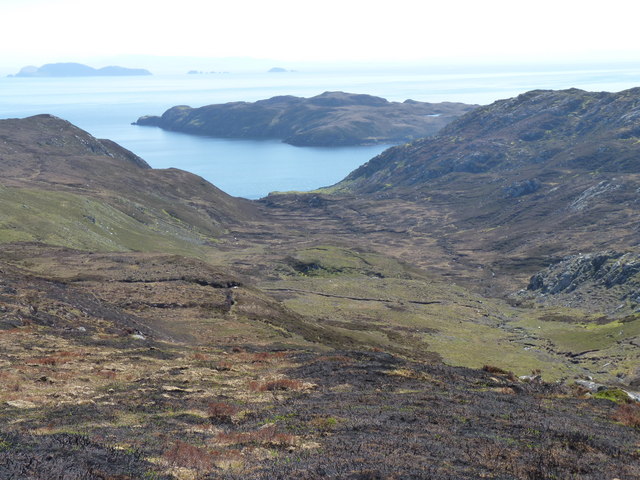
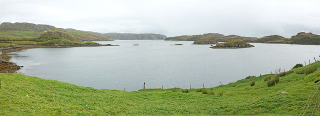
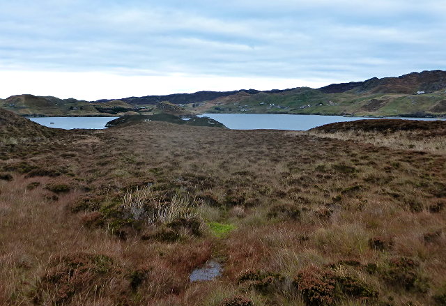
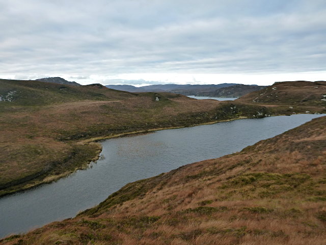
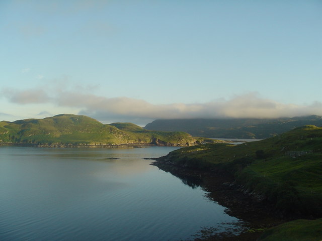
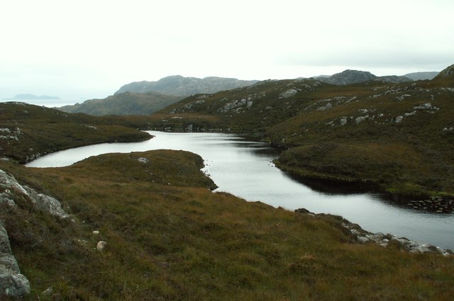
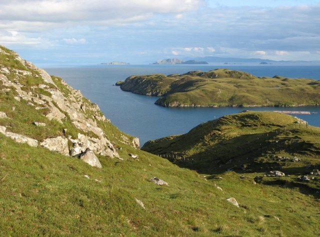
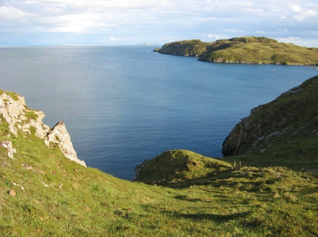
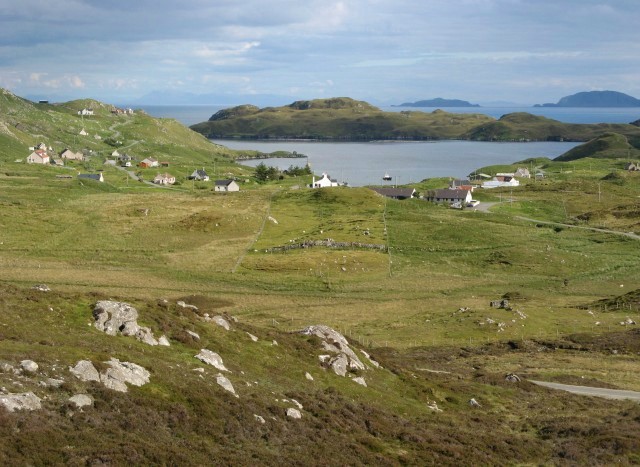
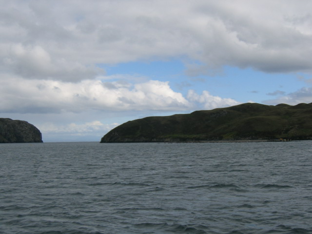
Aird a' Chaolais is a prominent hill located in Ross-shire, Scotland. With an elevation of approximately 521 meters (1,709 feet), it offers stunning panoramic views of the surrounding landscape. Situated amidst the rugged beauty of the Scottish Highlands, this hill attracts hikers, nature enthusiasts, and climbers alike.
The ascent of Aird a' Chaolais is relatively moderate, making it accessible to a wide range of outdoor enthusiasts. The hill is characterized by its distinctive shape, with a rounded summit that provides an excellent vantage point to admire the surrounding mountains, lochs, and valleys. On clear days, visitors are rewarded with breathtaking vistas that stretch far into the distance.
The hill is covered in a mix of heather, grasses, and scattered rocky outcrops, creating a diverse and picturesque terrain. As visitors ascend the hill, they may encounter various wildlife species, including red deer, mountain hares, and a variety of birdlife.
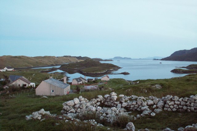
Aird a' Chaolais is also steeped in history and folklore. The area surrounding the hill is dotted with ancient ruins, remnants of long-abandoned settlements and burial sites. These archaeological sites add to the allure of the hill, attracting history enthusiasts and those interested in delving into the past.
Whether you are seeking an outdoor adventure, breathtaking views, or a glimpse into Scotland's rich history, Aird a' Chaolais offers an unforgettable experience. With its natural beauty, accessibility, and historical significance, it is a must-visit destination for anyone exploring the Scottish Highlands.
If you have any feedback on the listing, please let us know in the comments section below.
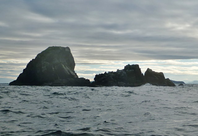
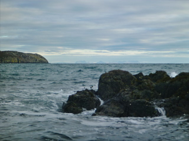
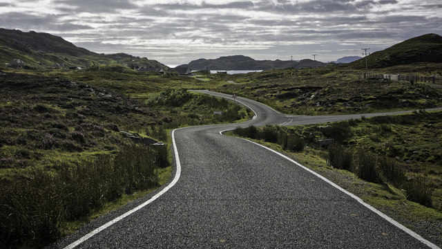
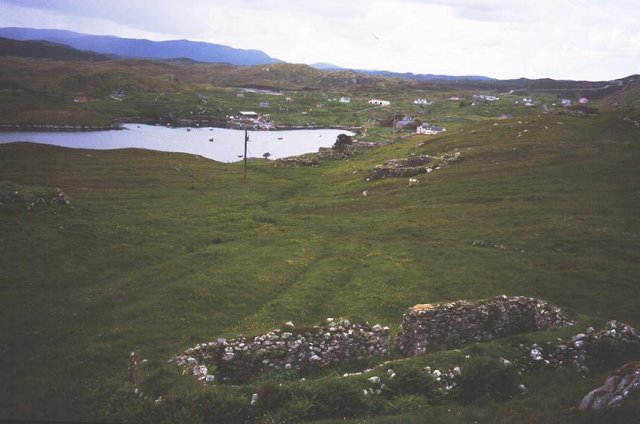
Aird a' Chaolais Images
Images are sourced within 2km of 58.009154/-6.4490298 or Grid Reference NB3710. Thanks to Geograph Open Source API. All images are credited.

Aird a' Chaolais is located at Grid Ref: NB3710 (Lat: 58.009154, Lng: -6.4490298)
Unitary Authority: Na h-Eileanan an Iar
Police Authority: Highlands and Islands
What 3 Words
///jetting.rejoins.develops. Near Leurbost, Na h-Eileanan Siar
Related Wikis

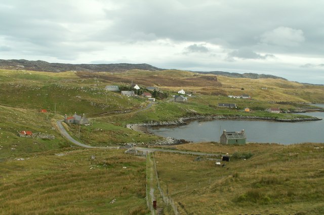
Orinsay
Orinsay (Scottish Gaelic: Orasaigh) is a crofting village on the Isle of Lewis in the district of Pairc, in the Outer Hebrides, Scotland. The settlement...

Eilean Liubhaird
Eilean Liubhaird or Eilean Iubhard is an island in the Outer Hebrides, to the east of Lewis. == Geography and geology == The rock is "gneiss bedrock with...

Stiomrabhaig
Stiomrabhaig is an abandoned crofter's village on the Isle of Lewis in the Outer Hebrides. == History == The United Kingdom Census 1851 shows that the...

Gravir
Gravir (Scottish Gaelic: Grabhair), is a village on the shore of Loch Odhairn (a sea loch) in the Park district of the Isle of Lewis. Gravir is within...
Nearby Amenities
Located within 500m of 58.009154,-6.4490298Have you been to Aird a' Chaolais?
Leave your review of Aird a' Chaolais below (or comments, questions and feedback).