Hethelpit Cross
Settlement in Worcestershire Forest of Dean
England
Hethelpit Cross

Hethelpit Cross is a small village located in Worcestershire, England. Situated in the heart of the county, it is surrounded by picturesque countryside and is known for its charming rural atmosphere. The village is nestled between the larger towns of Kidderminster and Bromsgrove, offering a peaceful retreat from the bustle of urban life.
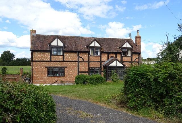
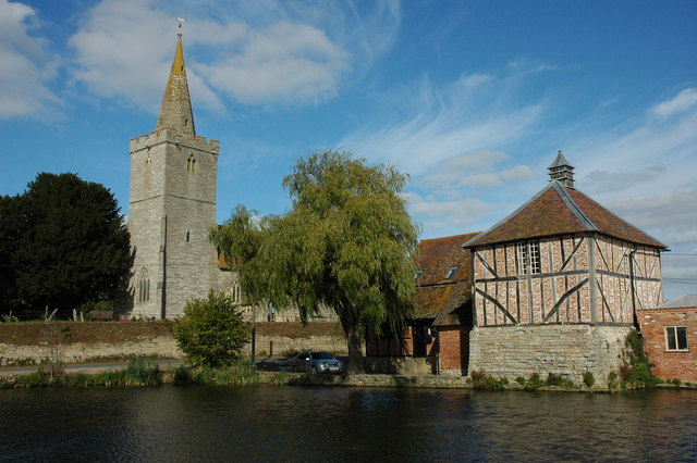
Hethelpit Cross is characterized by its traditional architecture, with many houses dating back centuries. The village center features a quaint square, where locals gather and enjoy the community spirit. The local church, St. Mary's, is a prominent landmark and holds regular services for the villagers.
Although small in size, Hethelpit Cross offers a range of amenities to cater to its residents' needs. There is a village shop providing essential goods, as well as a cozy pub where locals and visitors can relax and socialize. The village also has a primary school, ensuring that families have easy access to education for their children.
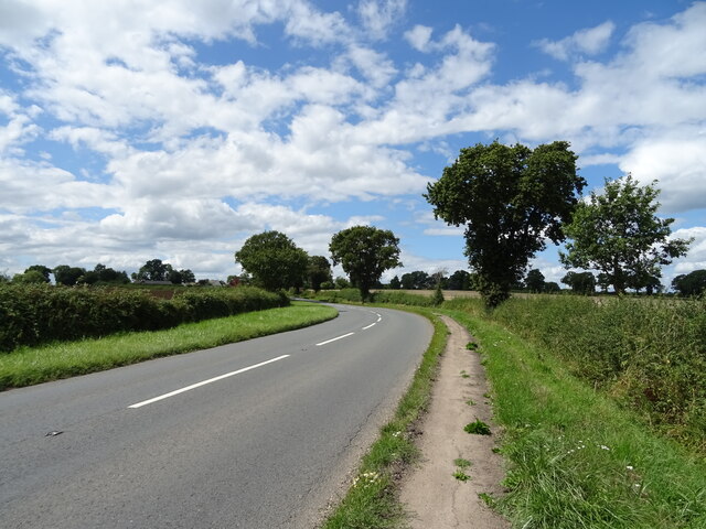
The surrounding countryside offers plenty of opportunities for outdoor activities and exploration. Footpaths and bridleways lead through rolling hills and woodland, making it an ideal location for walking, cycling, and horse riding enthusiasts. The nearby Clent Hills, with their stunning panoramic views, are a popular destination for locals and visitors alike.
Hethelpit Cross is well-connected to larger towns and cities in the area. The village is easily accessible by road, with good links to the A448 and A4484, providing convenient connections to Kidderminster, Bromsgrove, and beyond.
If you have any feedback on the listing, please let us know in the comments section below.
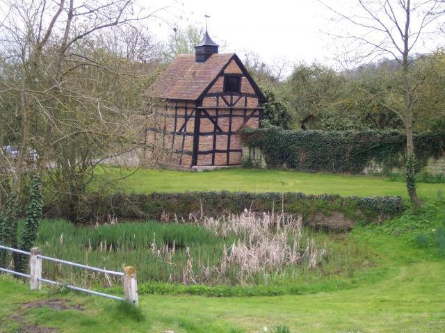
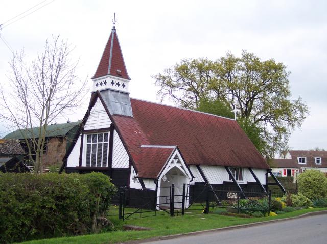
Hethelpit Cross Images
Images are sourced within 2km of 51.964199/-2.328907 or Grid Reference SO7729. Thanks to Geograph Open Source API. All images are credited.


Hethelpit Cross is located at Grid Ref: SO7729 (Lat: 51.964199, Lng: -2.328907)
Administrative County: Gloucestershire
District: Forest of Dean
Police Authority: Gloucestershire
What 3 Words
///mopped.neatly.curiosity. Near Corse, Gloucestershire
Nearby Locations
Related Wikis
Staunton (near Gloucester)
Staunton is a village that lies close to the village of Corse. Staunton is eight miles north of the city of Gloucester. To the south-west of Staunton is...
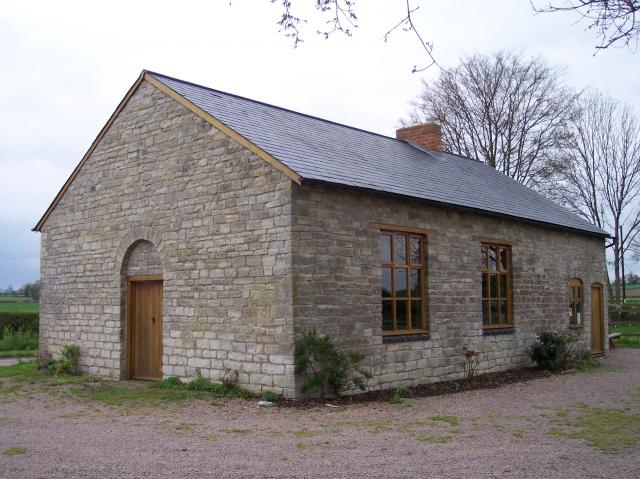
Gadfield Elm Chapel
The Gadfield Elm Chapel near the village of Pendock in Worcestershire, England, is the oldest extant chapel of the Church of Jesus Christ of Latter-day...

Redmarley D'Abitot
Redmarley D'Abitot is a civil parish and village in the Forest of Dean district, Gloucestershire, South West England. In addition to the village of Redmarley...

Collinpark Wood SSSI
Collinpark Wood (grid reference SO750278) is a 66.69-hectare (164.8-acre) biological Site of Special Scientific Interest in Gloucestershire, notified in...
Eldersfield
Eldersfield is a village and civil parish in the Malvern Hills district of Worcestershire, England. It had a population of 584 in 2021.It stands exactly...
Pendock
Pendock is a village and civil parish in the Malvern Hills district in the county of Worcestershire, England, situated about halfway between the towns...

Brand Green
Brand Green is a village in Gloucestershire, England. == References == == External links == Media related to Brand Green at Wikimedia Commons

Upleadon
Upleadon is a village and civil parish situated 10.5 km north-west of Gloucester. Soon after the Norman conquest Upleadon became part of the estates of...
Nearby Amenities
Located within 500m of 51.964199,-2.328907Have you been to Hethelpit Cross?
Leave your review of Hethelpit Cross below (or comments, questions and feedback).