Àird an Daraich
Hill, Mountain in Argyllshire
Scotland
Àird an Daraich
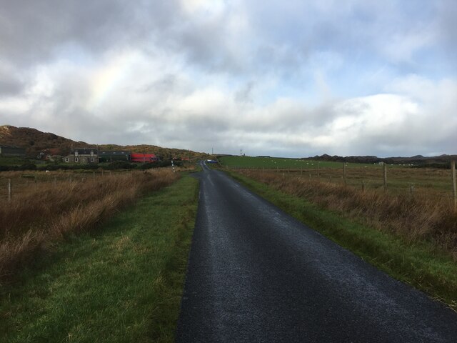
Àird an Daraich is a prominent hill located in Argyllshire, Scotland. Standing at a height of approximately 262 meters (860 feet), it offers breathtaking views of the surrounding landscapes. The hill is situated near the village of Kilmartin, known for its rich historical and archaeological sites.
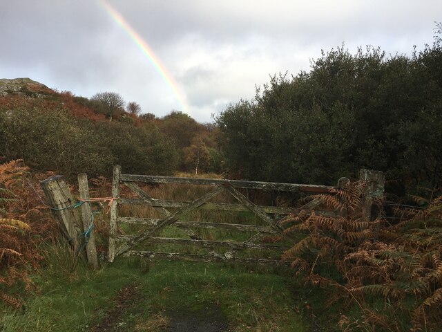
The terrain of Àird an Daraich is characterized by gentle slopes covered in lush green vegetation, predominantly consisting of grasses and heather. The hill is dotted with scattered trees, mainly oak and birch, adding to its natural charm. These woodlands provide a habitat for various bird species, making it an ideal destination for birdwatching enthusiasts.
At the summit of Àird an Daraich, visitors are rewarded with panoramic views of the picturesque countryside. On a clear day, one can see the rugged coastline along the Sound of Jura and the nearby isles of Islay and Jura. The hill also offers stunning vistas of the surrounding hills and mountains, including the iconic Ben Cruachan.
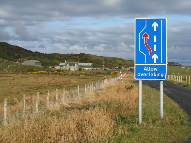
For hiking enthusiasts, Àird an Daraich presents an opportunity to explore the diverse flora and fauna of the region. There are well-maintained paths and trails leading to the summit, making it accessible to both experienced hikers and casual walkers. The hill is a popular destination for outdoor activities such as hillwalking, picnicking, and photography.
Overall, Àird an Daraich is a captivating hill in Argyllshire, offering visitors a chance to immerse themselves in the natural beauty and tranquility of the Scottish countryside.
If you have any feedback on the listing, please let us know in the comments section below.
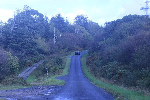
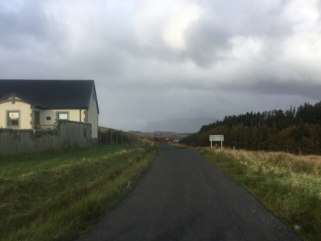
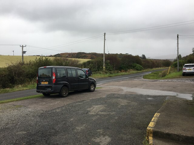
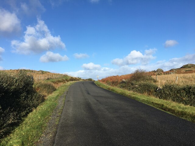
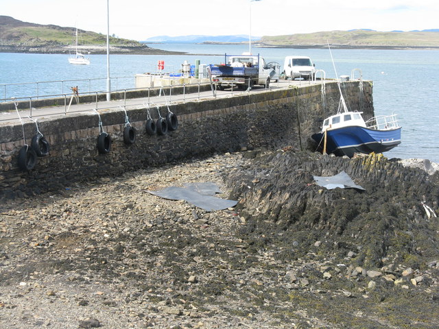
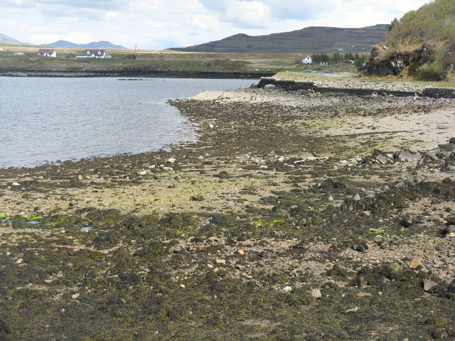
Àird an Daraich Images
Images are sourced within 2km of 56.319286/-6.2747917 or Grid Reference NM3522. Thanks to Geograph Open Source API. All images are credited.


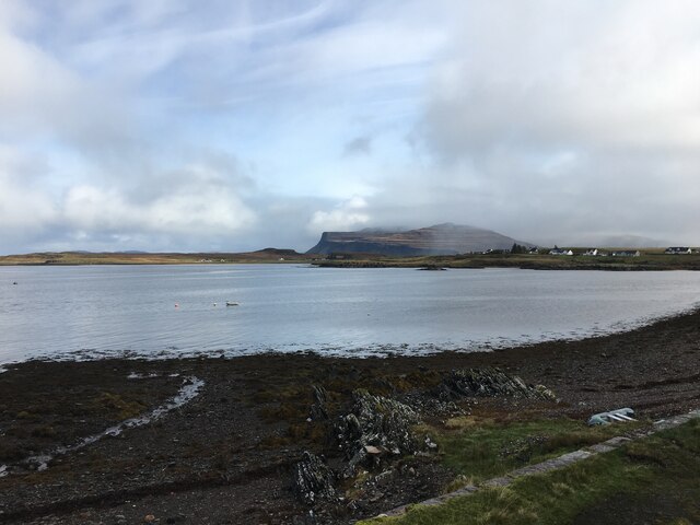
![Aird an Daraich Looking northeast across Loch Scridain to Bearreach. Remains of old oaks occur in the near fields [Daraich is 'oak' in the Gaelic]](https://s3.geograph.org.uk/geophotos/02/93/98/2939891_e88216ea.jpg)
![Lazy beds at Aird an Daraich By Ardness House near Bunessan on the A849 road to Fionnphort. The old traditional crofting method of cultivation, particularly of potatoes, by laying them on the surface and covering with seaweed and soil from the side [a precursor to modern raised beds; nothing is new!].](https://s0.geograph.org.uk/geophotos/02/93/98/2939896_ec60fdf7.jpg)


Àird an Daraich is located at Grid Ref: NM3522 (Lat: 56.319286, Lng: -6.2747917)
Unitary Authority: Argyll and Bute
Police Authority: Argyll and West Dunbartonshire
What 3 Words
///prepped.dynasties.journals. Near Fionnphort, Argyll & Bute
Related Wikis

Suidhe
Suidhe (Scottish Gaelic: Suidhe) is a ruined township located on the southwestern peninsula of the Isle of Mull, Scotland. It lies just over 1 km to the...

Ross of Mull
The Ross of Mull (Scottish Gaelic: An Ros Mhuileach) is the largest peninsula of the Isle of Mull, about 28 kilometres (17 mi) long, and makes up the south...
Camas Tuath
Camas Tuath (Scottish Gaelic: north bay) is an inlet bay on the Ross of Mull. The bay has two small tidal islands and two Quarrymans' Cottages which the...

Bunessan
Bunessan (Scottish Gaelic: Bun Easain) is a small village on the Ross of Mull in the south-west of the Isle of Mull, off the west coast of Scotland. The...

Knocknafenaig
Knocknafenaig (Scottish Gaelic: Cnoc na Fennaig) is a ruined township on the Isle of Mull, Scotland. Located in the south-western portion of the island...

Ardalanish
Ardalanish (Scottish Gaelic: Àird Dealanais) is a village on the Isle of Mull in Argyll and Bute, Scotland. It is now an organic farm and weaving mill...

Ardtun
Ardtun (Scottish Gaelic: Àird Tunna) is a settlement on the Isle of Mull, in Argyll and Bute, Scotland. Ardtun is within the parish of Kilfinichen and...

Uisken
Uisken (Scottish Gaelic: Uisgean, meaning "water-bay") is a settlement on a sandy bay on the Ross of Mull in the south of the Isle of Mull, on the west...
Nearby Amenities
Located within 500m of 56.319286,-6.2747917Have you been to Àird an Daraich?
Leave your review of Àird an Daraich below (or comments, questions and feedback).