Airigh Cheann na Beinne
Hill, Mountain in Ross-shire
Scotland
Airigh Cheann na Beinne

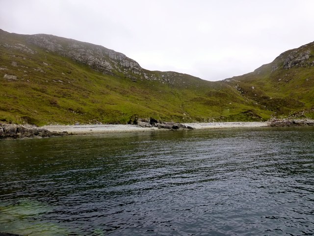
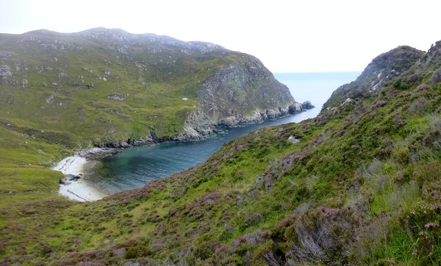
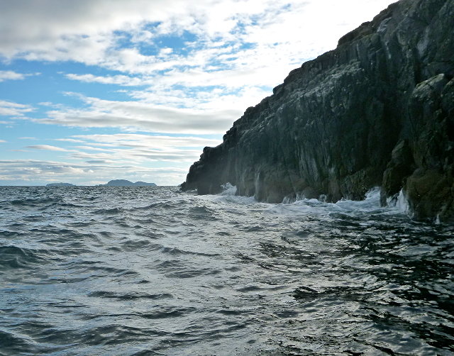
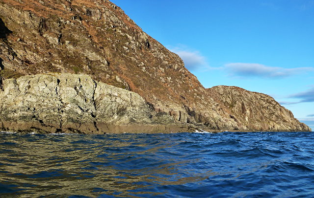
Airigh Cheann na Beinne is a prominent hill located in the county of Ross-shire, in the Highlands of Scotland. Situated near the village of Achnasheen, it forms part of the larger mountain range known as the Torridon Hills. Rising to an impressive height of 911 meters (2,989 feet), Airigh Cheann na Beinne offers breathtaking views of the surrounding landscape.
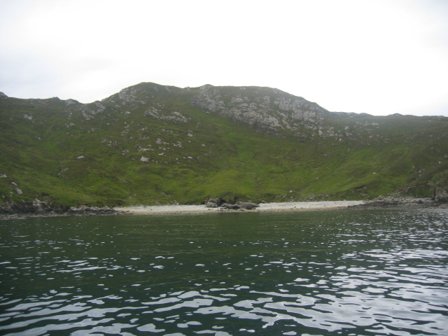
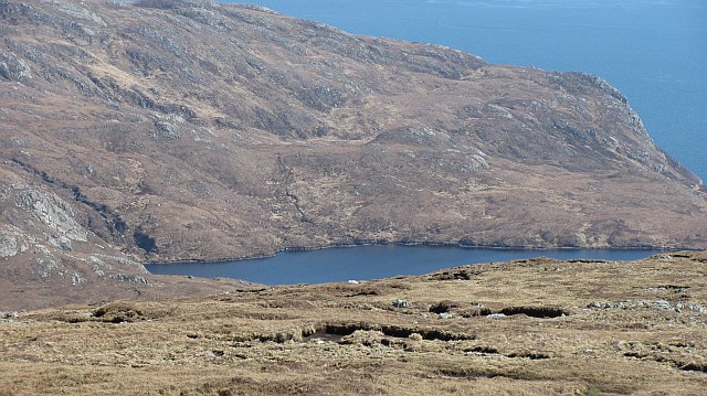
This hill is known for its rugged and rocky terrain, typical of the Torridon Hills. Its slopes are covered in heather and grasses, providing a habitat for a variety of wildlife, including red deer and mountain hares. The hill's summit is marked by a cairn, which serves as a navigational point for hikers and climbers.
Airigh Cheann na Beinne is a popular destination for outdoor enthusiasts, offering a range of activities such as hiking, mountaineering, and wildlife watching. The hill can be accessed via various routes, with the most common approach starting from the nearby village of Kinlochewe. The ascent to the summit can be challenging, particularly in adverse weather conditions, and it is recommended that visitors come well-prepared with appropriate gear and navigation equipment.
The panoramic views from the top of Airigh Cheann na Beinne are truly stunning, encompassing the surrounding mountains and lochs, including Loch Maree and Loch Torridon. On a clear day, it is even possible to see as far as the Isle of Skye. This natural beauty makes Airigh Cheann na Beinne an unforgettable destination for nature lovers and outdoor adventurers alike.
If you have any feedback on the listing, please let us know in the comments section below.
Airigh Cheann na Beinne Images
Images are sourced within 2km of 57.977921/-6.4730164 or Grid Reference NB3507. Thanks to Geograph Open Source API. All images are credited.


Airigh Cheann na Beinne is located at Grid Ref: NB3507 (Lat: 57.977921, Lng: -6.4730164)
Unitary Authority: Na h-Eileanan an Iar
Police Authority: Highlands and Islands
What 3 Words
///composer.dusters.withdraw. Near Leurbost, Na h-Eileanan Siar
Nearby Locations
Related Wikis

Eilean Liubhaird
Eilean Liubhaird or Eilean Iubhard is an island in the Outer Hebrides, to the east of Lewis. == Geography and geology == The rock is "gneiss bedrock with...

Orinsay
Orinsay (Scottish Gaelic: Orasaigh) is a crofting village on the Isle of Lewis in the district of Pairc, in the Outer Hebrides, Scotland. The settlement...

Stiomrabhaig
Stiomrabhaig is an abandoned crofter's village on the Isle of Lewis in the Outer Hebrides. == History == The United Kingdom Census 1851 shows that the...

Park, Lewis
Park (Scottish Gaelic: A' Phàirc), also known as South Lochs, is a huge area of land connected to the rest of Lewis only by a narrow neck between Loch...
Have you been to Airigh Cheann na Beinne?
Leave your review of Airigh Cheann na Beinne below (or comments, questions and feedback).