An Dornabac

Hill, Mountain in Argyllshire

Scotland

An Dornabac

Estate Cottage, Harris, Rum A shepherd's cottage built around 1890, in the area of a pre-clearance township.
Estate Cottage, Harris, Rum Credit: M J Richardson

An Dornabac, also known as Dornaback Hill or Dornabac Mountain, is a prominent feature located in Argyllshire, Scotland. Standing at an elevation of approximately 606 meters (1,988 feet), it is considered one of the region's most notable hills.

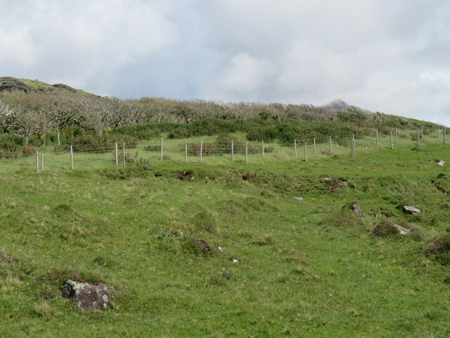
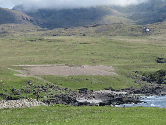
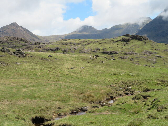
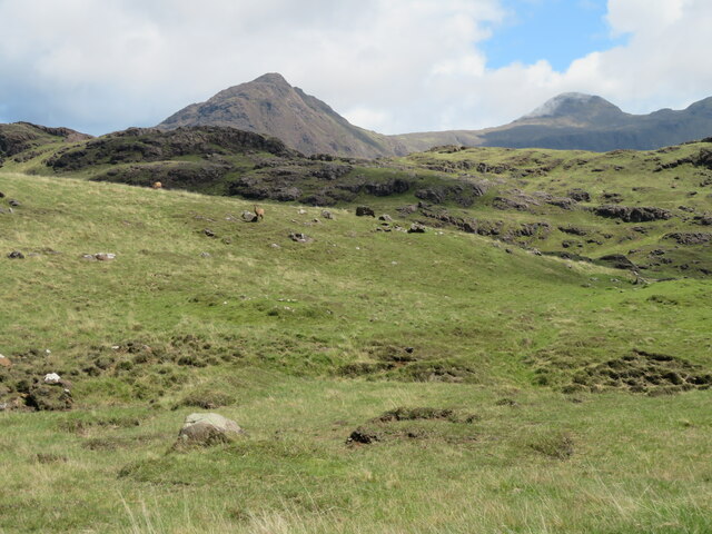
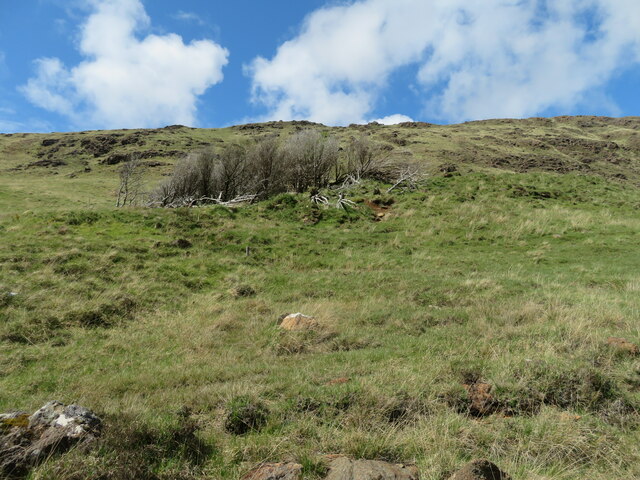
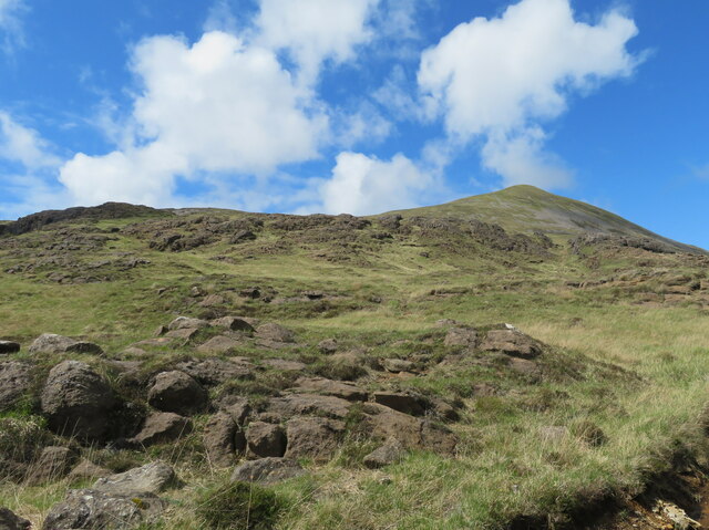
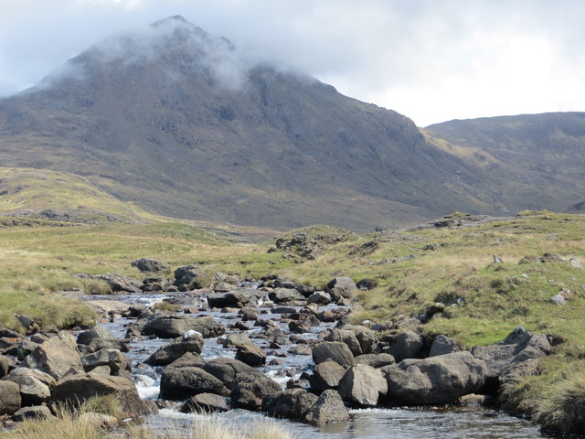
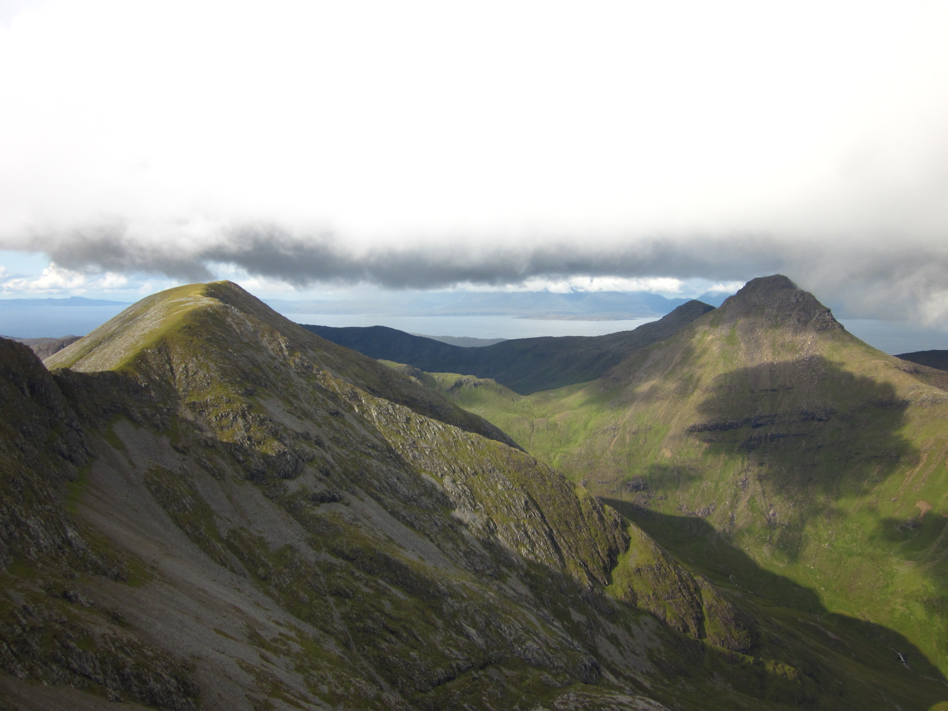
Situated within the beautiful countryside of Argyllshire, An Dornabac offers breathtaking panoramic views of the surrounding landscape. Its distinctive shape, with a gentle slope leading up to a more rugged peak, adds to its visual appeal. The hill is composed mainly of granite and is covered with a mix of heather, grasses, and scattered patches of woodland.

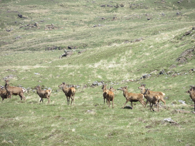
An Dornabac is a popular destination for outdoor enthusiasts, including hikers and nature lovers. Several hiking trails traverse the hill, providing visitors with an opportunity to explore its diverse flora and fauna. The hill's slopes are home to a variety of bird species, such as red grouse, skylarks, and peregrine falcons, making it an ideal spot for birdwatching.

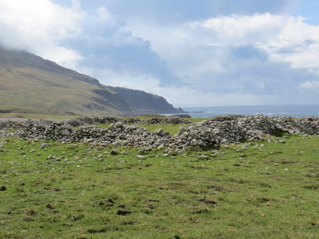
The surrounding area of An Dornabac is also rich in historical and cultural significance. Nearby, you can find ancient ruins, such as standing stones and burial cairns, that attest to the area's long history. The hill itself is steeped in local folklore and legends, adding an air of mystery and intrigue to its allure.

Overall, An Dornabac is a striking hill in Argyllshire, offering both natural beauty and cultural heritage. Whether you are seeking a challenging hike or simply a peaceful escape into nature, this mountain is sure to captivate and inspire all who visit.

If you have any feedback on the listing, please let us know in the comments section below.

An Dornabac Images

Images are sourced within 2km of 56.989108/-6.3585154 or Grid Reference NM3597. Thanks to Geograph Open Source API. All images are credited.

Estate Cottage, Harris, Rum A shepherd's cottage built around 1890, in the area of a pre-clearance township.
Estate Cottage, Harris, Rum
A shepherd's cottage built around 1890, in the area of a pre-clearance township.
Estate Cottage, Harris, Rum A shepherd's cottage built around 1890, in the area of a pre-clearance township. Looking east into Glen Harris.
Estate Cottage, Harris, Rum
A shepherd's cottage built around 1890, in the area of a pre-clearance township. Looking east into Glen Harris.
Small woodland on Rum A mixed, and unhappy-looking, wood of about 1 ha, above Harris; its state is probably due its position at 65-75 m a.s.l. facing prevailing winds from the sea.
Small woodland on Rum
A mixed, and unhappy-looking, wood of about 1 ha, above Harris; its state is probably due its position at 65-75 m a.s.l. facing prevailing winds from the sea.
Glen Duian River Heading south, and just about to pass under the track to Harris.
Glen Duian River
Heading south, and just about to pass under the track to Harris.
Raised beach at Harris, Rum Showing what I take to be an earlier sea level, and a sloping gravelly beach. Behind are the Rum Cuillin.
Raised beach at Harris, Rum
Showing what I take to be an earlier sea level, and a sloping gravelly beach. Behind are the Rum Cuillin.
Moorland on Rum Looking east from Hugh's Brae, over a tributary of Abhainn Rangail, to the Rum Cuillin. Red Deer are present in the picture.
Moorland on Rum
Looking east from Hugh's Brae, over a tributary of Abhainn Rangail, to the Rum Cuillin. Red Deer are present in the picture.
Moorland on Rum Looking east from Hugh's Brae, over a tributary of Abhainn Rangail, to the Rum Cuillin. Red Deer are present in the picture.
Moorland on Rum
Looking east from Hugh's Brae, over a tributary of Abhainn Rangail, to the Rum Cuillin. Red Deer are present in the picture.
The lower slopes of Àrd Mheall, Rum Looking north from Hugh's Brae.
The lower slopes of Àrd Mheall, Rum
Looking north from Hugh's Brae.
The lower slopes of Àrd Mheall, Rum Rocky grassland, looking north west from Hugh's Brae.
The lower slopes of Àrd Mheall, Rum
Rocky grassland, looking north west from Hugh's Brae.
Small wood on Rum Almost dead, or nearly so, on the southeastern slope of Àrd Mheall, seen from Hugh's Brae.
Small wood on Rum
Almost dead, or nearly so, on the southeastern slope of Àrd Mheall, seen from Hugh's Brae.
The eastern side of Àrd Mheall Rocky grassland, typical of much of the Rum landscape.
The eastern side of Àrd Mheall
Rocky grassland, typical of much of the Rum landscape.
Trackside Burn, Rum A rocky burn, flowing through rocky grassland.
Trackside Burn, Rum
A rocky burn, flowing through rocky grassland.
Lochans on Rum Looking east towards the Rum Cuiliin, from the track to  Harris.
Lochans on Rum
Looking east towards the Rum Cuiliin, from the track to Harris.
Remains of a sheepfank on the coast at Harris Isle of Rum
Bridge over the Abhainn Rangail
Red deer hinds on the moor in Glen Harris
Abhainn Rangail in Glen Harris Barkeval in the background
Abhainn Rangail in Glen Harris
Barkeval in the background
Show me another place!

An Dornabac is located at Grid Ref: NM3597 (Lat: 56.989108, Lng: -6.3585154)

Unitary Authority: Highland

Police Authority: Highlands and Islands

What 3 Words

///officer.branched.risking. Near Elgol, Highland

Related Wikis

Rùm

Rùm (Scottish Gaelic pronunciation: [rˠuːm]), a Scottish Gaelic name often anglicised to Rum ( rum), is one of the Small Isles of the Inner Hebrides,...

Trollabhal

Trollabhal (also known as Trallval) (702 m) is a mountain in the island of Rùm in Lochaber, Scotland. Although the lowest of the 'Rum Cuillin' in the south...

Ainshval

Ainshval is the second highest mountain on the island of Rùm, in the Inner Hebrides of Scotland, after Askival. It is part of the Rùm Cuillin, a range...

Askival

Askival is the highest mountain on the island of Rùm, in the Inner Hebrides of Scotland. It is located 5 kilometres (3.1 mi) south of Kinloch, the main...

Nearby Amenities

Located within 500m of 56.989108,-6.3585154
An Dornabac
Corbett: no
Ele: 263
Graham: no
Munro: no
Natural: peak
Lat/Long: 56.9888188/-6.3586804
The data included in this document is from www.openstreetmap.org. The data is made available under ODbL.

Have you been to An Dornabac?

Leave your review of An Dornabac below (or comments, questions and feedback).