An Curran
Hill, Mountain in Argyllshire
Scotland
An Curran
An Curran is a prominent hill located in Argyllshire, Scotland. It is situated in the southern part of the county, near the village of Taynuilt. Standing at an impressive height of 438 meters (1,437 feet), it offers breathtaking panoramic views of the surrounding landscape.
The hill is primarily composed of ancient volcanic rocks, which give it a distinctive rugged appearance. Its slopes are covered in a mix of heather, grasses, and scattered trees, creating a rich and diverse ecosystem. The area is home to a variety of wildlife, including red deer, buzzards, and golden eagles, making it a popular destination for nature enthusiasts and birdwatchers.
An Curran is a popular hiking destination, attracting both experienced mountaineers and casual walkers. There are several well-marked trails that lead to the summit, offering different levels of difficulty. The ascent can be challenging at times, but the reward is well worth it as hikers are treated to stunning views of Loch Etive, the surrounding mountains, and the nearby Glen Nant Nature Reserve.
The hill is also known for its historical significance. In ancient times, it was believed to be a sacred site, and there are remnants of ancient settlements and burial cairns scattered throughout the area. These archaeological features add an extra layer of interest for those fascinated by Scotland's rich history.
Overall, An Curran is a magnificent hill in Argyllshire, offering visitors a chance to immerse themselves in the beauty of the Scottish countryside, explore its diverse wildlife, and delve into its rich cultural heritage.
If you have any feedback on the listing, please let us know in the comments section below.
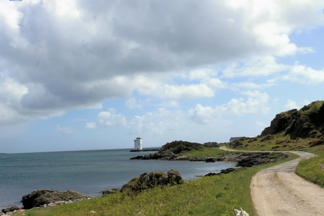
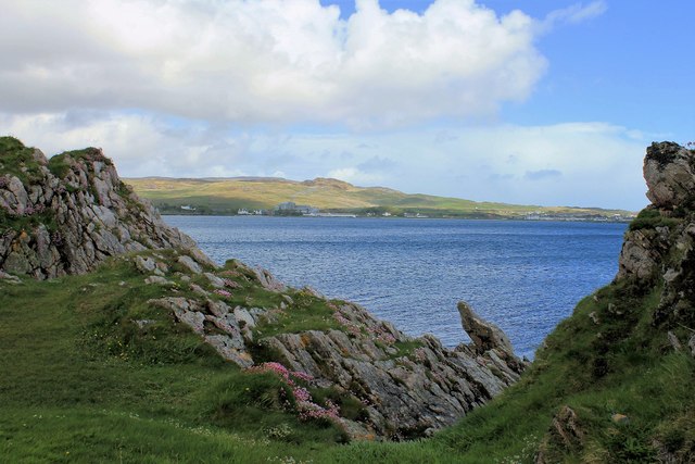
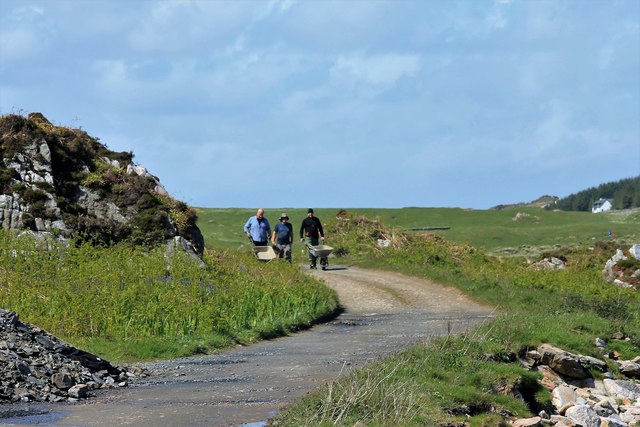
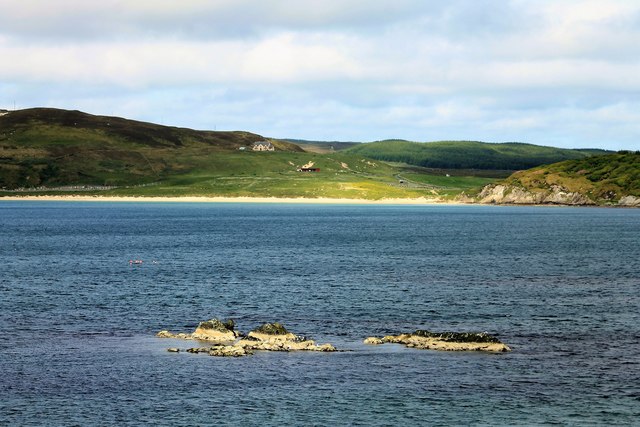
An Curran Images
Images are sourced within 2km of 55.638589/-6.2176408 or Grid Reference NR3446. Thanks to Geograph Open Source API. All images are credited.


An Curran is located at Grid Ref: NR3446 (Lat: 55.638589, Lng: -6.2176408)
Unitary Authority: Argyll and Bute
Police Authority: Argyll and West Dunbartonshire
What 3 Words
///tramps.proves.pricing. Near Port Ellen, Argyll & Bute
Nearby Locations
Related Wikis

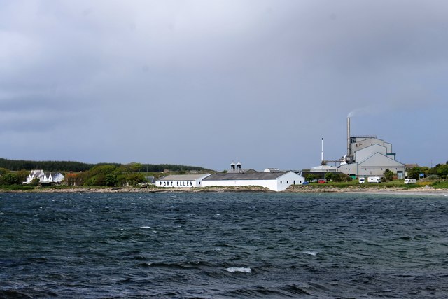
Port Ellen distillery
Port Ellen distillery is located in Port Ellen on the isle of Islay, Scotland. It initially operated between 1825 and 1983 when production shut down....

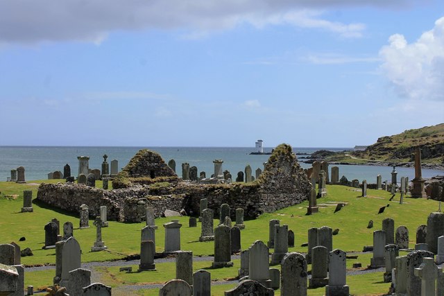
St John's Church, Port Ellen
St John's Church, Port Ellen is a Category B listed building in Port Ellen, Islay, Argyll and Bute, Scotland. == History == The memorial stone for the...

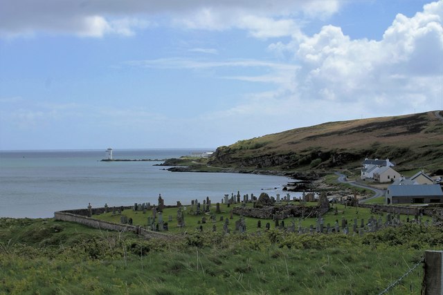
Port Ellen
Port Ellen (Scottish Gaelic: Port Ìlein) is a small town on the island of Islay, in Argyll, Scotland. The town is named after the wife of its founder,...

Leorin Loch
Leorin Loch is of the impounding variety, located 2.5 kilometres north of Port Ellen, and is one of a group of three lochs supplying water to the island...

Machrie golf course
The Machrie Golf Course, or "The Machrie Links", is located on Islay, in Scotland. The word "machrie" is a corruption of the Scottish Gaelic machair, which...

Laphroaig distillery
Laphroaig distillery ( lə-FROYG) is an Islay single malt Scotch whisky distillery. It is named after the area of land at the head of Loch Laphroaig on...

The Oa
The Oa ( OH) (Scottish Gaelic: An Obha) is a rocky peninsula in the southwest of the island of Islay, in Argyll, Scotland. It is an RSPB nature reserve...

Texa
Texa (Scottish Gaelic: Teacsa) is a small island 700 metres (3⁄8 mile) directly south of Islay, in the Inner Hebrides, Scotland. It reaches a height of...
Nearby Amenities
Located within 500m of 55.638589,-6.2176408Have you been to An Curran?
Leave your review of An Curran below (or comments, questions and feedback).