An Clèireach

Hill, Mountain in Inverness-shire

Scotland

An Clèireach

Unusual Trees at Balmeanach It is extremely unusual to find deciduous trees of this size in the north of Skye.
Unusual Trees at Balmeanach Credit: John Allan

An Clèireach is a prominent hill located in Inverness-shire, Scotland. It is situated in the western part of the county, approximately 14 kilometers west of the town of Fort Augustus. An Clèireach is part of the wider mountainous region known as the Scottish Highlands and is one of the many peaks in the area.

With an elevation of around 731 meters (2,398 feet), An Clèireach offers breathtaking panoramic views of the surrounding landscape. It is characterized by its rugged and rocky terrain, which adds to its charm and appeal for hikers and mountaineers. The hill is covered in heather and grasses, providing a picturesque setting during the warmer months.

Accessing An Clèireach requires a moderate level of fitness and a good sense of navigation, as there is no designated trail or path leading to the summit. However, experienced hikers can approach the hill from various directions, choosing their preferred route based on their level of expertise and desired challenge.

On a clear day, the summit of An Clèireach offers stunning vistas across the Scottish Highlands, including views of nearby Loch Ness and the surrounding glens and mountains. It is also home to a variety of wildlife, including deer, birds of prey, and smaller mammals, making it a popular spot for nature enthusiasts and wildlife photographers.

Overall, An Clèireach is a remarkable hill in Inverness-shire, providing visitors with a unique opportunity to explore the natural beauty and rugged landscapes of the Scottish Highlands.

If you have any feedback on the listing, please let us know in the comments section below.
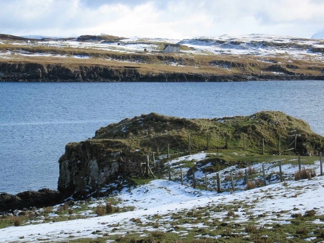
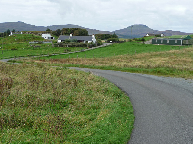
An Clèireach Images

Images are sourced within 2km of 57.413368/-6.4420556 or Grid Reference NG3344. Thanks to Geograph Open Source API. All images are credited.

Unusual Trees at Balmeanach It is extremely unusual to find deciduous trees of this size in the north of Skye.
Unusual Trees at Balmeanach
It is extremely unusual to find deciduous trees of this size in the north of Skye.
Forest Track in Glinn MhicAsgaill The end of the public road and the start of the forestry track above Balmeanach.
Forest Track in Glinn MhicAsgaill
The end of the public road and the start of the forestry track above Balmeanach.
Allt Ruairidh Burn flowing down from Cruachan Glen Vic Askill.
Allt Ruairidh
Burn flowing down from Cruachan Glen Vic Askill.
Township Ruins Remains of an old settlement in Glen Ullinish.
Township Ruins
Remains of an old settlement in Glen Ullinish.
Cnoc a' Chrochaire A knoll in an otherwise featureless area of moorland.
Cnoc a' Chrochaire
A knoll in an otherwise featureless area of moorland.
Aketil Burn Looking downstream as the burn heads towards the Caroy River in Glen Heysdal.
Aketil Burn
Looking downstream as the burn heads towards the Caroy River in Glen Heysdal.
Old shielings by the Aketil Burn Part of a large area of old shielings here. Today, even the settlements with which they were associated have gone.
Old shielings by the Aketil Burn
Part of a large area of old shielings here. Today, even the settlements with which they were associated have gone.
Open moorland above Balmeanach Featureless...
Open moorland above Balmeanach
Featureless...
Summit of Ben Aketil On the left is the trigpoint, on the right is a mast supporting four anemometers and two wind vanes. The mast has a solar panel and a radio transmitter to relay the wind information. It is part of the proposed development of a wind power station here.
Summit of Ben Aketil
On the left is the trigpoint, on the right is a mast supporting four anemometers and two wind vanes. The mast has a solar panel and a radio transmitter to relay the wind information. It is part of the proposed development of a wind power station here.
Allt Ruairidh A different season.
Allt Ruairidh
A different season.
Glen Colbost / Glen Ullinish Two names for this boggy hollow which shows signs of being improved farmland in the recent past.
Glen Colbost / Glen Ullinish
Two names for this boggy hollow which shows signs of being improved farmland in the recent past.
Glen Colbost Still very boggy.
Glen Colbost
Still very boggy.
Beware flat land An absence of contours often means trouble. Without a gradient the rainfall cannot escape, and the ground is often a tough bog.  Knee deep, or worse, vegetation made acquiring this photo a physical challenge.
Beware flat land
An absence of contours often means trouble. Without a gradient the rainfall cannot escape, and the ground is often a tough bog. Knee deep, or worse, vegetation made acquiring this photo a physical challenge.
Allt Ruairidh The Allt Ruairidh draining a large area of bogland. It is also the boundary of a forested area.
Allt Ruairidh
The Allt Ruairidh draining a large area of bogland. It is also the boundary of a forested area.
Moorland north of Beinn a Chleirich The ground here was fairly easy after a long dry spell, but a week or so of rain would leave the going a lot softer. This view looking towards Ben Sca shows a lot of the square, which is fit for little but a few sheep.
Moorland north of Beinn a Chleirich
The ground here was fairly easy after a long dry spell, but a week or so of rain would leave the going a lot softer. This view looking towards Ben Sca shows a lot of the square, which is fit for little but a few sheep.
The steep south east slope of An Cleireach Nice sheep-cropped slopes drop down from the high moorland towards Glen Ullinish. Loch Bracadale and its islands are visible in the background.
The steep south east slope of An Cleireach
Nice sheep-cropped slopes drop down from the high moorland towards Glen Ullinish. Loch Bracadale and its islands are visible in the background.
An Cleireach The summit of the hill seen from the moorland to its north. From this side it appears as a small bump. The slopes and crags to the south are more dramatic.
An Cleireach
The summit of the hill seen from the moorland to its north. From this side it appears as a small bump. The slopes and crags to the south are more dramatic.
Killer bog on An Cleireach If you look at the OS 1:25k map there is an odd seeming small triangle of fence marked here. Its purpose was to keep animals out of this particularly nasty bit of bog. The fence is well broken down, and the remains of two sheep here are evidence of the danger.
Killer bog on An Cleireach
If you look at the OS 1:25k map there is an odd seeming small triangle of fence marked here. Its purpose was to keep animals out of this particularly nasty bit of bog. The fence is well broken down, and the remains of two sheep here are evidence of the danger.
Show me another place!

An Clèireach is located at Grid Ref: NG3344 (Lat: 57.413368, Lng: -6.4420556)

Unitary Authority: Highland

Police Authority: Highlands and Islands

What 3 Words

///decoding.reclusive.prone. Near Dunvegan, Highland

Related Wikis

Feorlig

Feorlig (Scottish Gaelic: Feòirlig) is a small crofting settlement on the northwest shore of Loch Caroy near Dunvegan on the Isle of Skye in the Highlands...

Ose, Skye

Ose (Scottish Gaelic: Òs) is a small coastal settlement of Loch Bracadale, in the Scottish Highland area. It lies on the west coast of the Isle of Skye...

Vatten, Skye

Vatten is a hamlet 3 miles (4.8 km) south east of Dunvegan, on the eastern shore of Loch Vatten, on the Isle of Skye, in the council area of Highland,...

Harlosh

Harlosh (Scottish Gaelic: Heàrrlois) is a settlement on the island of Skye off the west coast of Scotland. The settlement is on a peninsula of the same...

Have you been to An Clèireach?

Leave your review of An Clèireach below (or comments, questions and feedback).