Oidreabhal

Hill, Mountain in Ross-shire

Scotland

Oidreabhal

Moorland near Achmore
Moorland near Achmore Credit: David Dixon

Oidreabhal, located in Ross-shire, Scotland, is a prominent hill or mountain that stands at an impressive height of 781 meters (2,562 feet). Situated in the Northwest Highlands, it forms part of the vast and breathtaking landscape of the Scottish Highlands, which is renowned worldwide for its rugged beauty.

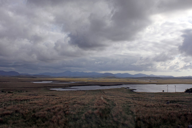
The summit of Oidreabhal offers spectacular panoramic views of the surrounding area, including nearby lochs, glens, and other peaks. On a clear day, visitors can see as far as the Isle of Skye and the Outer Hebrides. Its remote location and challenging ascent make it a popular choice for hikers, mountaineers, and nature enthusiasts seeking a rewarding outdoor experience.

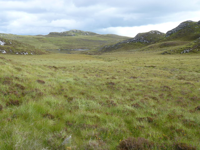
The terrain of Oidreabhal is typically characterized by rocky slopes and steep gradients, making it a suitable destination for those with a moderate level of fitness and experience. The ascent requires careful navigation, especially in adverse weather conditions, as the hill is often shrouded in mist and subject to strong winds.

The surrounding area is rich in wildlife, with numerous bird species, including golden eagles and peregrine falcons, frequently spotted in the skies above. The hillside is also home to a variety of plant life, such as heather and mosses, adding vibrant colors and textures to the landscape.

Oidreabhal is a true gem of the Scottish Highlands, offering a challenging yet rewarding outdoor adventure for those who seek it. Its majestic presence and stunning vistas make it a must-visit destination for nature lovers and those seeking an escape into the wild.

If you have any feedback on the listing, please let us know in the comments section below.
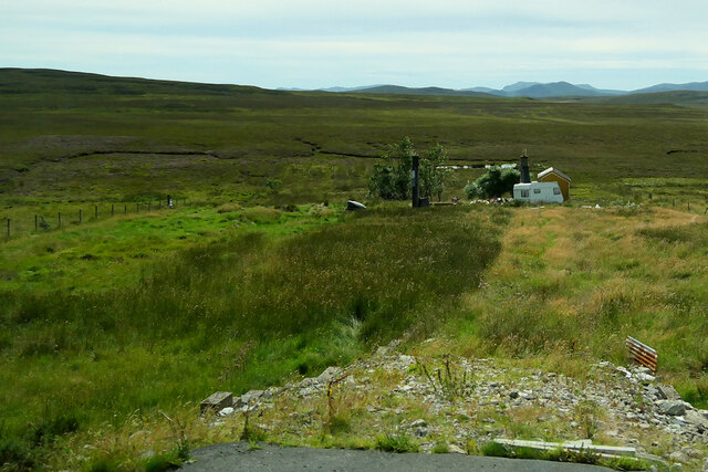
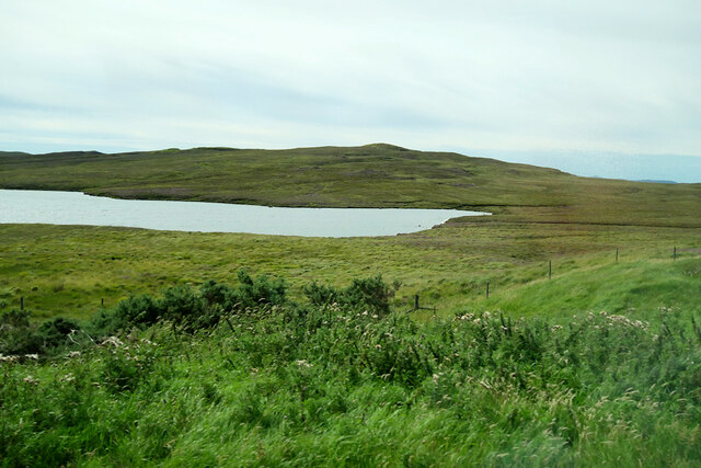
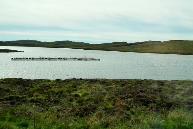
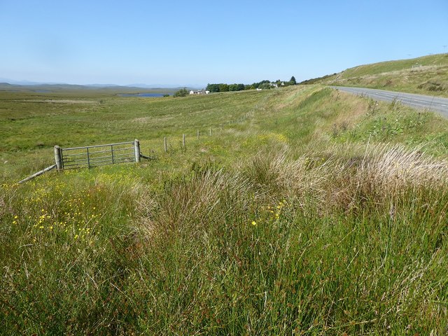
Oidreabhal Images

Images are sourced within 2km of 58.154613/-6.5461658 or Grid Reference NB3227. Thanks to Geograph Open Source API. All images are credited.

Moorland near Achmore
Moorland near Loch Thobhta Bridein
Fish Farm Cages on Loch Thobhta Bridein
Boggy land next to the A858, with Loch Acha Mor in the distance
Loch Acha Mòr From A858 near the Mission House at Acha Mòr.
Loch Acha Mòr
From A858 near the Mission House at Acha Mòr.
Moorland and loch Looking across a stretch of typical Lewis moorland to Loch Thobta Bridein.
Moorland and loch
Looking across a stretch of typical Lewis moorland to Loch Thobta Bridein.
Rough grazing near Liurbost View south over moorland to the valley of Abhainn Ghlas.  The hill in the background is Nisreabhal (104m).
Rough grazing near Liurbost
View south over moorland to the valley of Abhainn Ghlas. The hill in the background is Nisreabhal (104m).
Acha Mor township. The eastern end of this crofting community which stretches along the A858.
Acha Mor township.
The eastern end of this crofting community which stretches along the A858.
Lewis landscape Lewis wetland near the A858 in Acha Mor
Lewis landscape
Lewis wetland near the A858 in Acha Mor
Cleascro Historically the Island of Lewis has been virtually treeless for centuries. However along the craggy slopes at Cleascro there is some evidence of more recent woodland.
Cleascro
Historically the Island of Lewis has been virtually treeless for centuries. However along the craggy slopes at Cleascro there is some evidence of more recent woodland.
Acha Mor This image illustrates well the origins of the place name Acha Mor. The photograph is taken in the middle of the "Acha" which literally means "field" and when coupled with the word "Mor" translates as "Big Field".
The TV mast on Eitseal Hill 223m and plantations near the village are also shown.
Acha Mor
This image illustrates well the origins of the place name Acha Mor. The photograph is taken in the middle of the "Acha" which literally means "field" and when coupled with the word "Mor" translates as "Big Field". The TV mast on Eitseal Hill 223m and plantations near the village are also shown.
Oidreabhal On the summit of this small hill (107m) there is some evidence of ancient settlement.
Main road from Acha Mor to Leurbost is prominent as is Loch Tobhta Breidein.
Oidreabhal
On the summit of this small hill (107m) there is some evidence of ancient settlement. Main road from Acha Mor to Leurbost is prominent as is Loch Tobhta Breidein.
Loch Acha Mor Loch Acha Mor lies in the centre of Lewis and provides a fine day's fishing for wild brown trout.
Loch Acha Mor
Loch Acha Mor lies in the centre of Lewis and provides a fine day's fishing for wild brown trout.
Loch na Cairteach
Loch na Cairteach
Loch Nisreabhal
Loch Nisreabhal
Moorland
Moorland
Moorland
Moorland
Moorland with lochs The Uig hills are in the background.
Moorland with lochs
The Uig hills are in the background.
Show me another place!

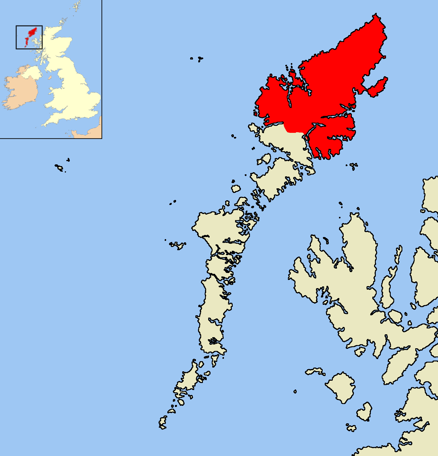
Oidreabhal is located at Grid Ref: NB3227 (Lat: 58.154613, Lng: -6.5461658)

Unitary Authority: Na h-Eileanan an Iar

Police Authority: Highlands and Islands

What 3 Words

///regrowth.existence.drift. Near Leurbost, Na h-Eileanan Siar

Nearby Locations

Oidreabhal

Related Wikis

Achmore, Lewis

Achmore (Scottish Gaelic: An t-Acha Mòr; marked on some maps as Acha Mòr) is a village in the Scottish Outer Hebrides, on the Isle of Lewis. The name means...

Leurbost

Leurbost (Scottish Gaelic: Liùrbost) is a village on the east coast of the Isle of Lewis in the Outer Hebrides of Scotland. It is approximately 6 miles...

North Lochs

North Lochs, (Scottish Gaelic: Ceann a Tuath nan Loch), an area in eastern Lewis, Outer Hebrides, Scotland, is named for the many lochans (small lochs...

Isle of Lewis

The Isle of Lewis (Scottish Gaelic: Eilean Leòdhais) or simply Lewis (Scottish Gaelic: Leòdhas, pronounced [ˈʎɔːəs̪] ) is the northern part of Lewis and...

Nearby Amenities

Located within 500m of 58.154613,-6.5461658
Oidreabhal
Name En: Oidraval
Name Gd: Oidreabhal
Natural: peak
Source: OS_Scottish_Popular_Historic
Lat/Long: 58.1552468/-6.5456303
The data included in this document is from www.openstreetmap.org. The data is made available under ODbL.

Have you been to Oidreabhal?

Leave your review of Oidreabhal below (or comments, questions and feedback).