Àird Mòr
Hill, Mountain in Argyllshire
Scotland
Àird Mòr
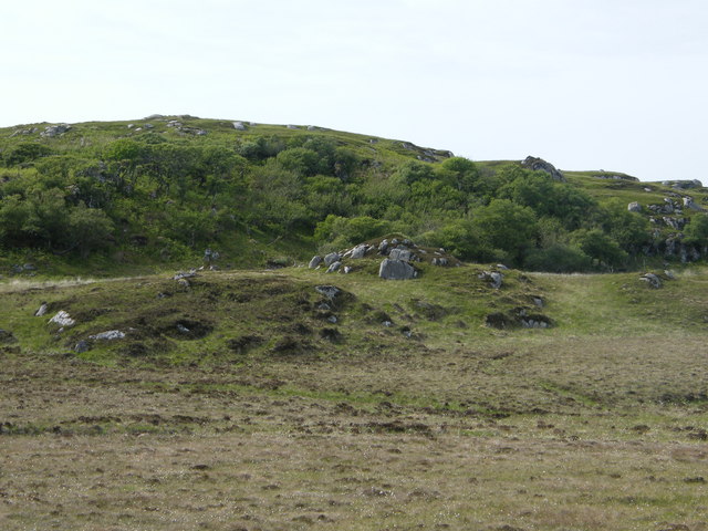
Àird Mòr is a prominent hill located in Argyllshire, Scotland. Situated in the picturesque region of the Scottish Highlands, it stands at an elevation of approximately 1,315 feet (401 meters). The hill is part of a range known as the Argyll Forest Park, which is renowned for its stunning natural beauty and diverse wildlife.
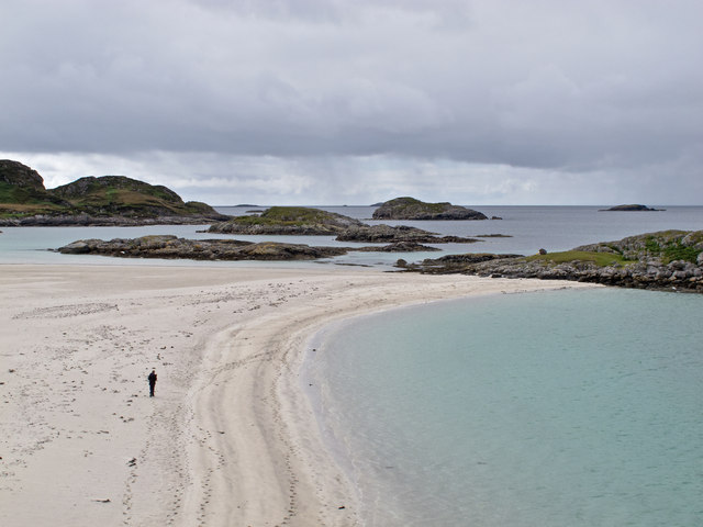
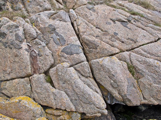
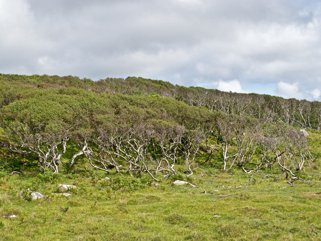
Àird Mòr boasts a distinct shape, characterized by its gently sloping sides and a rounded summit. The hill is covered in a mixture of heather, grasses, and scattered trees, creating a captivating landscape that changes color with the seasons. From the summit, visitors can enjoy breathtaking panoramic views of the surrounding countryside, including nearby Loch Eck and the Argyllshire mountains.
This area is a haven for outdoor enthusiasts, offering a variety of activities such as hiking, wildlife spotting, and photography. The hill is home to a range of wildlife species, including red deer, golden eagles, and red squirrels, making it a popular destination for nature lovers.
Access to Àird Mòr is relatively straightforward, with several walking routes leading to the summit. The most common starting point is from the village of Benmore, where a well-marked trail takes hikers through enchanting woodlands before ascending the hill. The walk typically takes around 2-3 hours, depending on the chosen route and individual fitness levels.
Overall, Àird Mòr offers a captivating and invigorating experience for those seeking to explore the natural wonders of Argyllshire. Its picturesque surroundings, diverse wildlife, and stunning views make it a must-visit destination for outdoor enthusiasts and nature lovers alike.
If you have any feedback on the listing, please let us know in the comments section below.
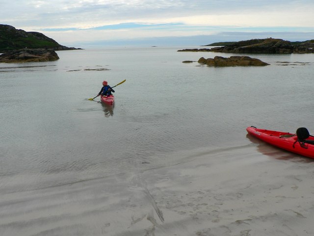
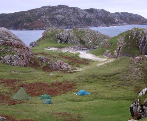
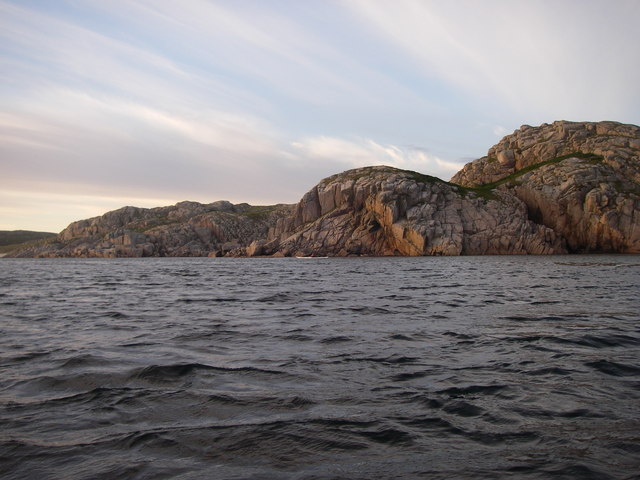
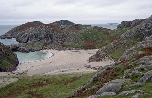
Àird Mòr Images
Images are sourced within 2km of 56.276442/-6.3263748 or Grid Reference NM3217. Thanks to Geograph Open Source API. All images are credited.


Àird Mòr is located at Grid Ref: NM3217 (Lat: 56.276442, Lng: -6.3263748)
Unitary Authority: Argyll and Bute
Police Authority: Argyll and West Dunbartonshire
What 3 Words
///fakes.covenants.imparts. Near Fionnphort, Argyll & Bute
Nearby Locations
Related Wikis

Erraid
Erraid (Scottish Gaelic: Eilean Earraid) is a tidal island approximately one mile (two kilometres) square located in the Inner Hebrides of Scotland. It...

Ross of Mull
The Ross of Mull (Scottish Gaelic: An Ros Mhuileach) is the largest peninsula of the Isle of Mull, about 28 kilometres (17 mi) long, and makes up the south...

Ardalanish
Ardalanish (Scottish Gaelic: Àird Dealanais) is a village on the Isle of Mull in Argyll and Bute, Scotland. It is now an organic farm and weaving mill...

Knocknafenaig
Knocknafenaig (Scottish Gaelic: Cnoc na Fennaig) is a ruined township on the Isle of Mull, Scotland. Located in the south-western portion of the island...

Aridhglas
Aridhglas is a village on the Ross of Mull, Isle of Mull in Argyll and Bute, Scotland. == References ==

Fionnphort
Fionnphort (English: , Scottish Gaelic: [ˈfjun̪ˠafɔrˠt̪]) is the principal port of the Ross of Mull, and the second largest settlement in the area (its...

Sound of Iona
The Sound of Iona is a sound between the Inner Hebridean islands of Mull and Iona in western Scotland. It forms part of the Atlantic Ocean. The tidal...
Suidhe
Suidhe (Scottish Gaelic: Suidhe) is a ruined township located on the southwestern peninsula of the Isle of Mull, Scotland. It lies just over 1 km to the...
Related Videos

Tràigh Gheal
Tràigh Gheal is one of the most perfect sandy beaches on Mull. The walk to it, however, through the Tireragan nature reserve, ...
Day 11 of 30 videos in 30 days. West Coast, Scotland
W travel from Bunessan to Fionnphort & discover a Fidden Gem of a campsite.

Fidden Farm Campsite (and how to find it) - vanlife explorers
Fidden Farm is a hidden gem. One of the best Campsites I've ever had the pleasure of visiting. From white sandy beaches and ...
Nearby Amenities
Located within 500m of 56.276442,-6.3263748Have you been to Àird Mòr?
Leave your review of Àird Mòr below (or comments, questions and feedback).