Ballencrieff
Settlement in East Lothian
Scotland
Ballencrieff
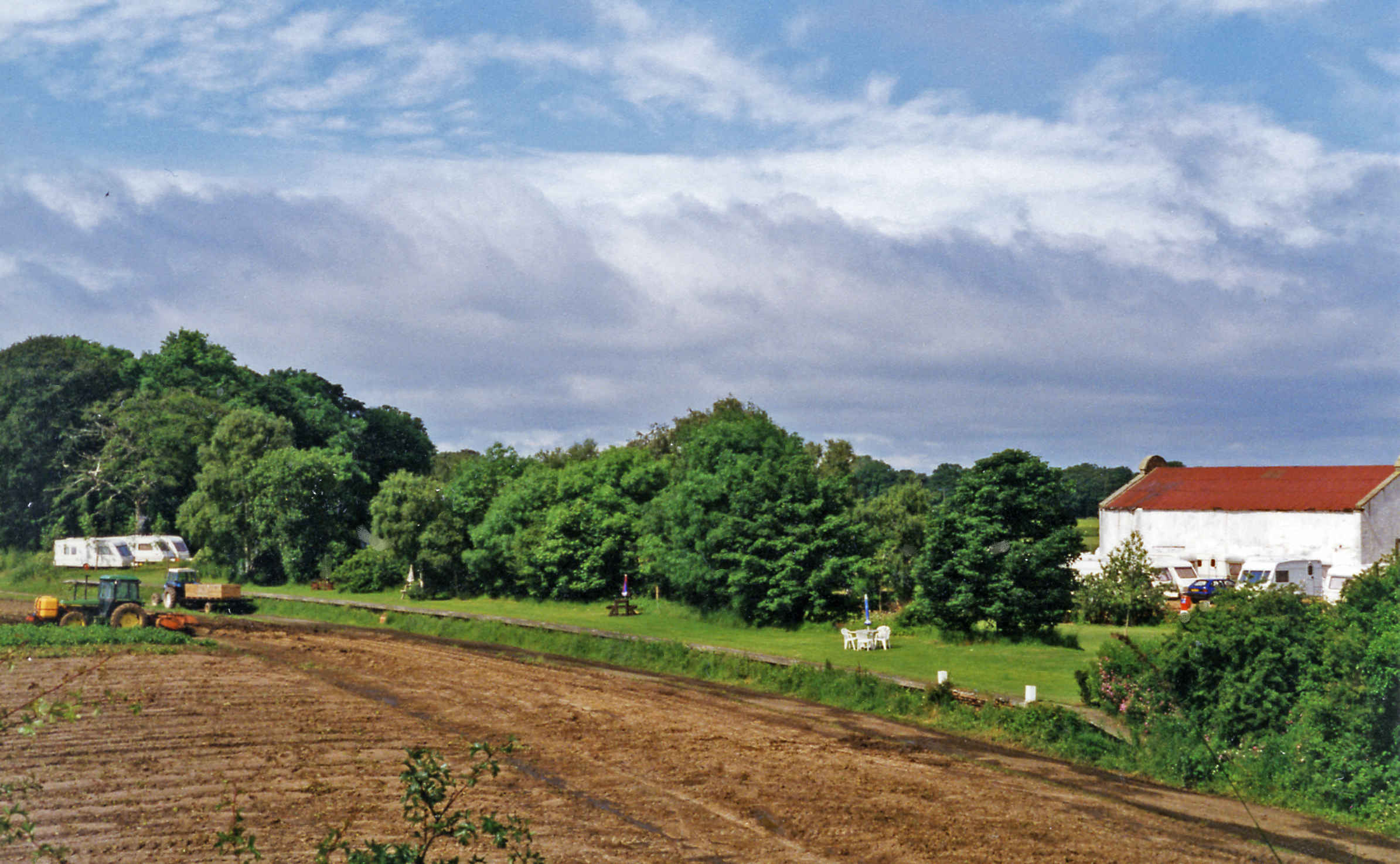
Ballencrieff is a small village located in the county of East Lothian, Scotland. Situated approximately 20 miles east of Edinburgh, the village is nestled amidst picturesque countryside, offering a tranquil and idyllic setting for its residents. The name "Ballencrieff" translates to "farm by the slope" in Gaelic, reflecting the village's agricultural roots.
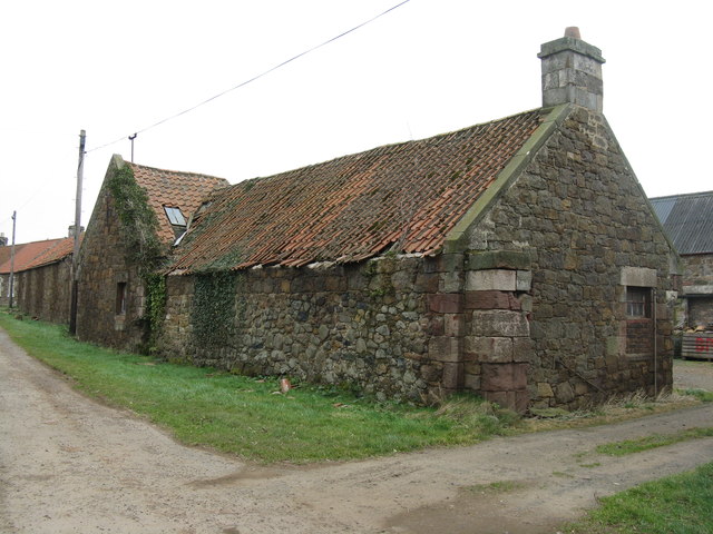
The village is renowned for its rich history, with evidence of human settlement dating back to the Iron Age. Today, Ballencrieff retains much of its historic charm, with several traditional stone-built houses and buildings still standing. The village is home to a close-knit community, fostering a strong sense of belonging and neighborly spirit.
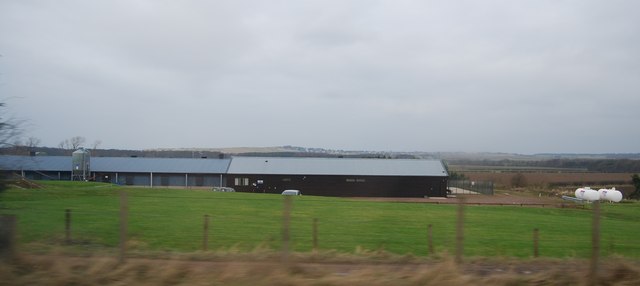
Despite its small size, Ballencrieff boasts a range of amenities to cater to its residents' needs. The village features a local convenience store, ensuring easy access to everyday essentials. Additionally, Ballencrieff is served by reliable public transportation, connecting residents to neighboring towns and cities.
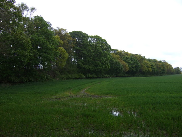
The surrounding countryside offers ample opportunities for outdoor activities and exploration. Residents and visitors can enjoy leisurely walks along scenic trails, immersing themselves in the stunning natural beauty of the East Lothian countryside. The area is also known for its diverse wildlife, making it a haven for nature enthusiasts.
Overall, Ballencrieff offers a peaceful and close-knit community within a beautiful rural setting. With its rich history, stunning landscapes, and convenient amenities, the village provides an attractive place to call home for those seeking a quieter and more relaxed way of life.
If you have any feedback on the listing, please let us know in the comments section below.
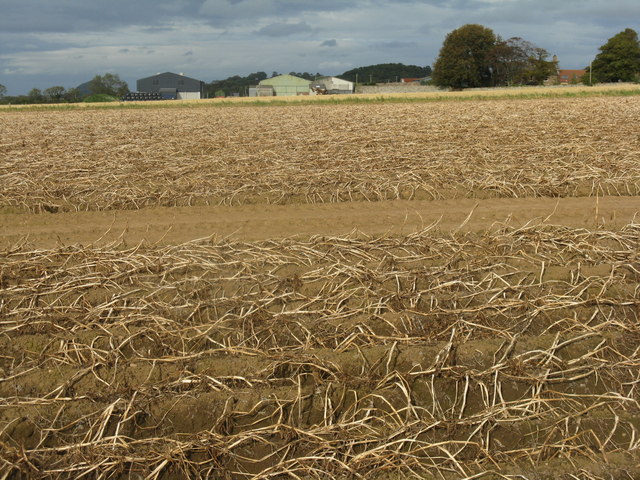
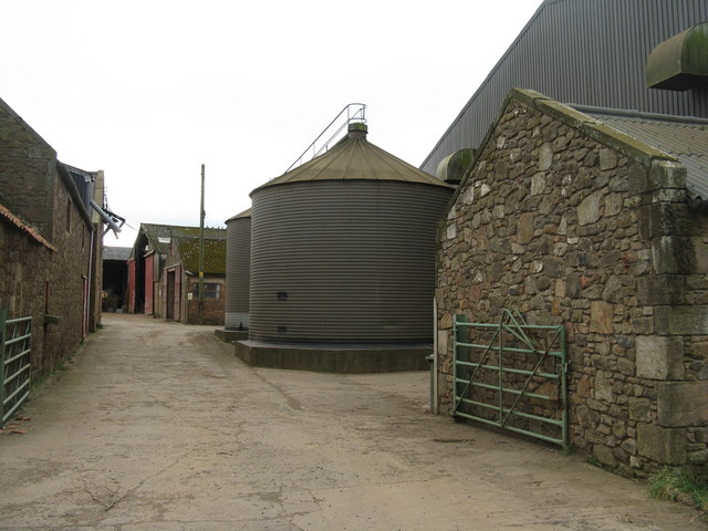
Ballencrieff Images
Images are sourced within 2km of 55.993063/-2.8272115 or Grid Reference NT4878. Thanks to Geograph Open Source API. All images are credited.


Ballencrieff is located at Grid Ref: NT4878 (Lat: 55.993063, Lng: -2.8272115)
Unitary Authority: East Lothian
Police Authority: The Lothians and Scottish Borders
What 3 Words
///visions.suffer.warned. Near Aberlady, East Lothian
Nearby Locations
Related Wikis

Ballencrieff, East Lothian
Ballencrieff (Scottish Gaelic: Baile na Craoibhe) is a rural community in East Lothian, Scotland. It is located between the towns of Aberlady, Drem, Haddington...
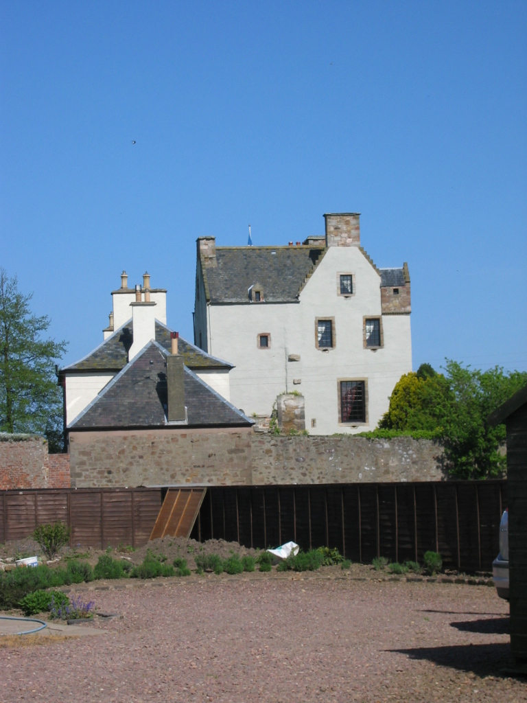
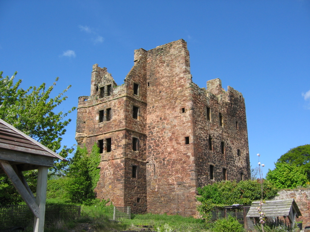
Ballencrieff Castle
Ballencrieff Castle, also known as Ballencrieff House, is a large tower house at Ballencrieff, East Lothian, Scotland. It is located three miles north...

Byres Castle
Byres Castle was a castle located at Byres, in East Lothian, Scotland. The castle was a stronghold of the Lindsay family, known as Lord Lindsay of the...
Aberlady railway station
Aberlady railway station served the village of Aberlady in Scotland. It was served by the Aberlady, Gullane and North Berwick railway. This line diverged...

Spittal, East Lothian
Spittal is a hamlet or small village in East Lothian, Scotland, UK, on the B1377, east of Longniddry, south-south-west of Aberlady and to the west of Garleton...

Hopetoun Monument
The Hopetoun Monument is a monument in the Garleton Hills, near Camptoun, East Lothian, Scotland. It is 95 feet (29 m) tall and is situated on Byres Hill...
Chesters Hill Fort
Chesters Hill Fort is an Iron Age hill fort in East Lothian, Scotland. It lies 1 mile (2 kilometres) south of Drem, 1+1⁄2 mi (2.5 km) east of Ballencrieff...
Redhouse Castle
Redhouse Castle is a ruined tower house castle, 2 km east of Longniddry, East Lothian, Scotland, UK, on the B1377, close to Spittal. The castle designated...
Nearby Amenities
Located within 500m of 55.993063,-2.8272115Have you been to Ballencrieff?
Leave your review of Ballencrieff below (or comments, questions and feedback).