Cnoc nan Clach

Hill, Mountain in Ross-shire

Scotland

Cnoc nan Clach

Balallan: view along Loch Èireasort Looking east from the A859 as it passes through this long, linear village.
Balallan: view along Loch Èireasort Credit: Chris Downer

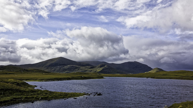
Cnoc nan Clach is a prominent hill located in Ross-shire, Scotland. Situated in the Scottish Highlands, it forms part of the vast and picturesque landscape of the region. The hill stands at an elevation of around 566 meters (1,857 feet) and is known for its distinctive shape and stunning views.

Cnoc nan Clach is characterized by its dome-like summit, covered in rocky outcrops and scattered boulders, which gives the hill its name, translating to "Hill of the Stones" in Gaelic. The terrain consists of heather moorland, with patches of grass and scattered shrubs. The hill is also home to a variety of wildlife, including red deer, mountain hares, and numerous bird species.

Reaching the summit of Cnoc nan Clach requires a moderate level of fitness and hiking experience. There are several routes that can be taken to ascend the hill, offering different levels of difficulty and scenery. The views from the top are truly breathtaking, encompassing the surrounding rolling hills, lochs, and distant mountains, such as Ben Wyvis and An Teallach.

Cnoc nan Clach is a popular destination for outdoor enthusiasts, including hikers, mountaineers, and nature lovers. It provides an opportunity to immerse oneself in the natural beauty of the Scottish Highlands, with its tranquil atmosphere and vast open spaces. Whether it be for a challenging hike or simply to enjoy the panoramic views, Cnoc nan Clach offers an unforgettable experience for visitors.

If you have any feedback on the listing, please let us know in the comments section below.

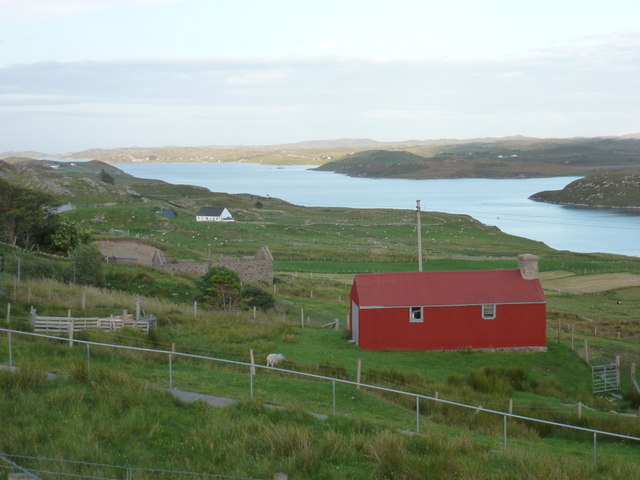
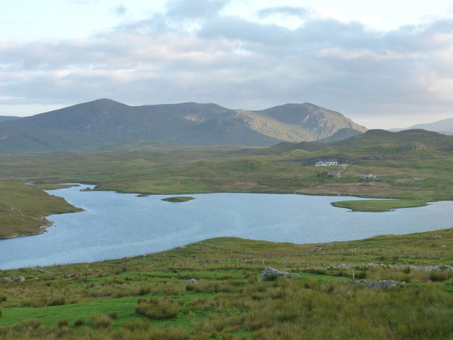
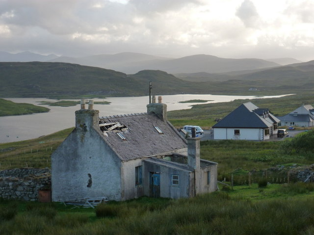
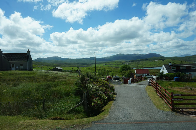
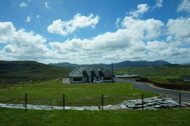
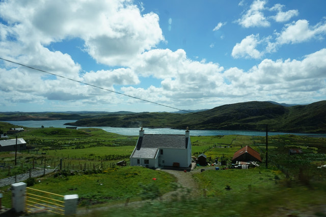
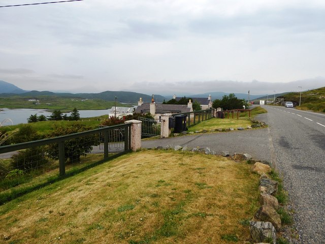
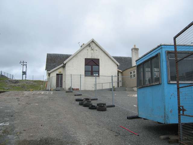
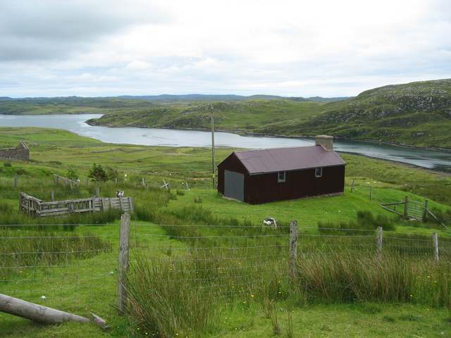
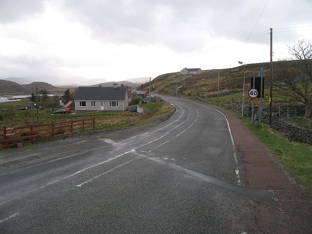
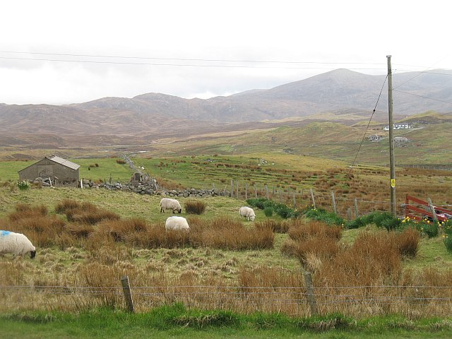
Cnoc nan Clach Images

Images are sourced within 2km of 58.076367/-6.6008261 or Grid Reference NB2818. Thanks to Geograph Open Source API. All images are credited.

Balallan: view along Loch Èireasort Looking east from the A859 as it passes through this long, linear village.
Balallan: view along Loch Èireasort
Looking east from the A859 as it passes through this long, linear village.
Balallan: view across to the Cleiteir mouth Looking across Loch Èireasort from the A859 through Balallan. The river, Abhainn Chleiteir, reaches the loch opposite us.
Balallan: view across to the Cleiteir mouth
Looking across Loch Èireasort from the A859 through Balallan. The river, Abhainn Chleiteir, reaches the loch opposite us.
Balallan: a ruined house This forlorn house stands on the south side of the A859 in Balallan, with its back to Loch Èareasort.
Balallan: a ruined house
This forlorn house stands on the south side of the A859 in Balallan, with its back to Loch Èareasort.
Looking south from Baile Ailein/Balallan The water is the inland end of a sea loch, Loch Eireasort.
Looking south from Baile Ailein/Balallan
The water is the inland end of a sea loch, Loch Eireasort.
Head of Loch Eireasort
Burnside, Baile Ailein
House at Baile Ailein
House at Beinn Bhuidhe
Gate to houses overlooking Loch Eireasort in Baile Ailean
Loch na Muilne
Loch na Muilne
Dam, Loch na Craoibhe, Isle of Lewis From <span class="nowrap"><a title="https://canmore.org.uk/site/335920" rel="nofollow ugc noopener" href="https://canmore.org.uk/site/335920">Link</a><img style="margin-left:2px;" alt="External link" title="External link - shift click to open in new window" src="https://s1.geograph.org.uk/img/external.png" width="10" height="10"/></span> : "The remains of two dams can be seen at the north end of Loch na Craoibhe, running from north to south where the loch flows into an unnamed burn running north and west to Loch Dubh. The upstream dam, right on the loch edge, is constructed of stone and faced with concrete in a style that suggests that it was constructed during the middle of the twentieth century. It measures 11 metres in total with a 1 metre sluice gap at its centre. The remains of the downstream dam, 3 metres to the east of the first, consists entirely of drystone and measures a total of 10 metres from north to south, with a substantial breach of more than 2 metres at its centre. The loch level is currently dictated by the more recent of these two dams which keeps the loch's level artificially high, but less so than the earlier dam which might have raised the water level by a further 0.5 metres or so.  This group of five fishing stances (three on Loch na Craoibhe and two on Loch Dubh) and two dams (both on the same overflow of Loch na Craoibhe) form the partial remains of a sporting industry relating to the estate ownership of the area. The two dams have been used to maintain the water level of Loch na Craoibhe artificially high to make the loch and the surrounding river system more suitable for game fish such as salmon and trout."
Dam, Loch na Craoibhe, Isle of Lewis
From LinkExternal link : "The remains of two dams can be seen at the north end of Loch na Craoibhe, running from north to south where the loch flows into an unnamed burn running north and west to Loch Dubh. The upstream dam, right on the loch edge, is constructed of stone and faced with concrete in a style that suggests that it was constructed during the middle of the twentieth century. It measures 11 metres in total with a 1 metre sluice gap at its centre. The remains of the downstream dam, 3 metres to the east of the first, consists entirely of drystone and measures a total of 10 metres from north to south, with a substantial breach of more than 2 metres at its centre. The loch level is currently dictated by the more recent of these two dams which keeps the loch's level artificially high, but less so than the earlier dam which might have raised the water level by a further 0.5 metres or so. This group of five fishing stances (three on Loch na Craoibhe and two on Loch Dubh) and two dams (both on the same overflow of Loch na Craoibhe) form the partial remains of a sporting industry relating to the estate ownership of the area. The two dams have been used to maintain the water level of Loch na Craoibhe artificially high to make the loch and the surrounding river system more suitable for game fish such as salmon and trout."
Baile Ailean School Undergoing refurbishment during the summer holidays.
Baile Ailean School
Undergoing refurbishment during the summer holidays.
Crofting land at Baile Ailean Stretching down to the shore of Loch Eireasort.
Crofting land at Baile Ailean
Stretching down to the shore of Loch Eireasort.
A 859, Baile Ailein Towards the western end of this sprawling community.
A 859, Baile Ailein
Towards the western end of this sprawling community.
Grazing sheep, Baile Ailein Sheep grazing on the improved land between Baile Ailein and Loch Èireasort.
Grazing sheep, Baile Ailein
Sheep grazing on the improved land between Baile Ailein and Loch Èireasort.
Balallan Post Office Village post offices like this one at Balallan (Gaelic - Baile Ailein) seem to be an endangered species. The village has the title of being the longest village on the Isle of Lewis and in northern Scotland.
Balallan Post Office
Village post offices like this one at Balallan (Gaelic - Baile Ailein) seem to be an endangered species. The village has the title of being the longest village on the Isle of Lewis and in northern Scotland.
Loch Erisort Inn A small pub located on the Southern shore of Loch Erisort.
Loch Erisort Inn
A small pub located on the Southern shore of Loch Erisort.
Old and New roads to South Lochs This picture shows the old single track road to South Lochs and in the background its succesor the double track B8060.
Old and New roads to South Lochs
This picture shows the old single track road to South Lochs and in the background its succesor the double track B8060.
Show me another place!

Cnoc nan Clach is located at Grid Ref: NB2818 (Lat: 58.076367, Lng: -6.6008261)

Unitary Authority: Na h-Eileanan an Iar

Police Authority: Highlands and Islands

What 3 Words

///reclaim.jogging.replayed. Near Leurbost, Na h-Eileanan Siar

Nearby Locations

Cnoc nan Clach

Related Wikis

Balallan

Balallan (Scottish Gaelic: Baile Ailein, Bail' Ailein), meaning "Allan's Town", is a crofting township on the Isle of Lewis, in the Outer Hebrides, Scotland...

Airidh a' Bhruaich

Airidh a' Bhruaich (Arivruaich - anglicised) is a scattered crofting township in the South Lochs district of the Isle of Lewis in the Outer Hebrides of...

Loch Erisort

Loch Erisort (Scottish Gaelic: Èireasort) is an 8-mile-long narrow sea inlet on the east coast of the Isle of Lewis in the Outer Hebrides off the west...

Cabharstadh

Cabharstadh or Caversta (Scottish Gaelic: Cabharstaigh) is a village on the Isle of Lewis in the Outer Hebrides, Scotland. Caversta is situated in the...

Nearby Amenities

Located within 500m of 58.076367,-6.6008261
Noexit: yes
Lat/Long: 58.0784111/-6.6028735
The data included in this document is from www.openstreetmap.org. The data is made available under ODbL.

Have you been to Cnoc nan Clach?

Leave your review of Cnoc nan Clach below (or comments, questions and feedback).