Cnoc Gresham
Hill, Mountain in Inverness-shire
Scotland
Cnoc Gresham

Cnoc Gresham is a prominent hill located in Inverness-shire, Scotland. It is situated in the scenic Scottish Highlands, known for its stunning landscapes and rich natural beauty. Cnoc Gresham stands at an elevation of approximately 450 meters (1,480 feet) above sea level, making it a popular destination for hikers and nature enthusiasts.
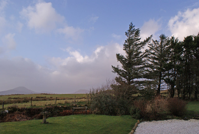
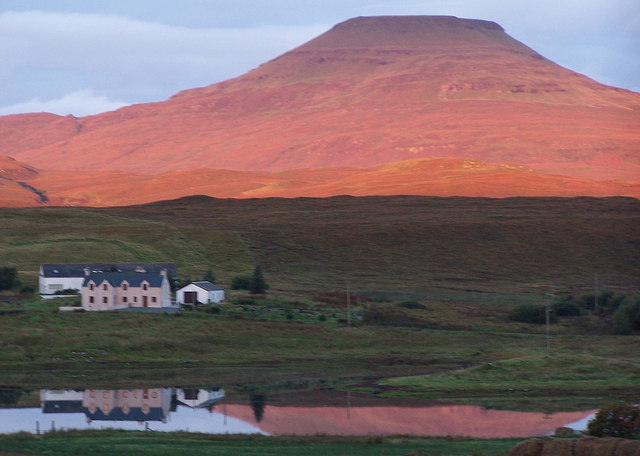
The hill is characterized by its gentle slopes and green, rolling meadows, which are typical of the Scottish countryside. It offers breathtaking panoramic views of the surrounding area, including nearby lochs and the majestic mountain ranges that stretch across the horizon. On clear days, it is possible to see as far as the Moray Firth and the Black Isle.
Cnoc Gresham is also home to a variety of flora and fauna, with heather-covered slopes and scattered woodland areas. The hill provides habitat for different species of birds, mammals, and insects, making it a haven for wildlife lovers and birdwatchers.
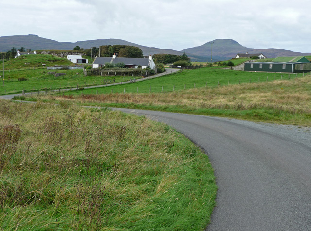
Several well-marked trails and paths lead to the summit of Cnoc Gresham, allowing visitors to explore the hill at their own pace. These routes range in difficulty, accommodating both casual walkers and more experienced hikers. The hill is accessible year-round, but caution is advised during inclement weather conditions.
In addition to its natural beauty, Cnoc Gresham holds historical significance, with remnants of ancient settlements and stone circles found in the vicinity. These archaeological sites add a touch of mystery and intrigue to the hill, attracting history enthusiasts and those interested in Scotland's ancient past.
Overall, Cnoc Gresham offers a peaceful and picturesque setting for outdoor activities, providing visitors with a memorable experience amidst the rugged beauty of the Scottish Highlands.
If you have any feedback on the listing, please let us know in the comments section below.
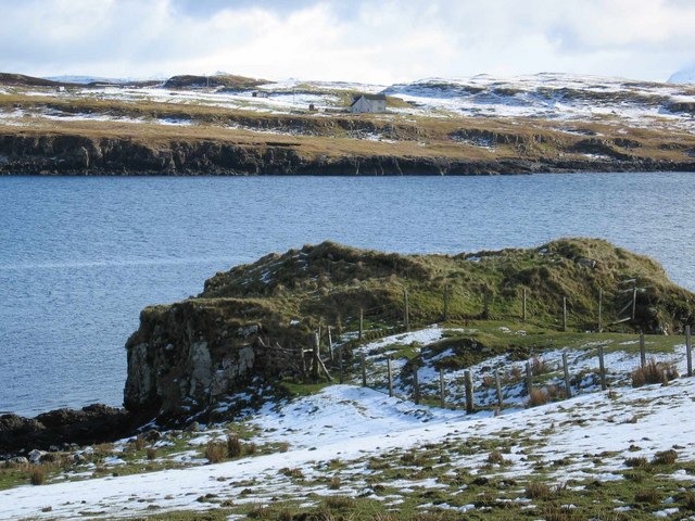
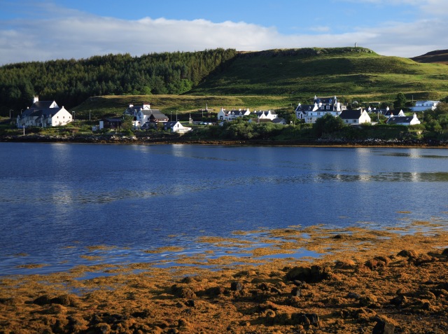
Cnoc Gresham Images
Images are sourced within 2km of 57.408961/-6.5459808 or Grid Reference NG2744. Thanks to Geograph Open Source API. All images are credited.


Cnoc Gresham is located at Grid Ref: NG2744 (Lat: 57.408961, Lng: -6.5459808)
Unitary Authority: Highland
Police Authority: Highlands and Islands
What 3 Words
///coveted.fruits.smelter. Near Dunvegan, Highland
Nearby Locations
Related Wikis
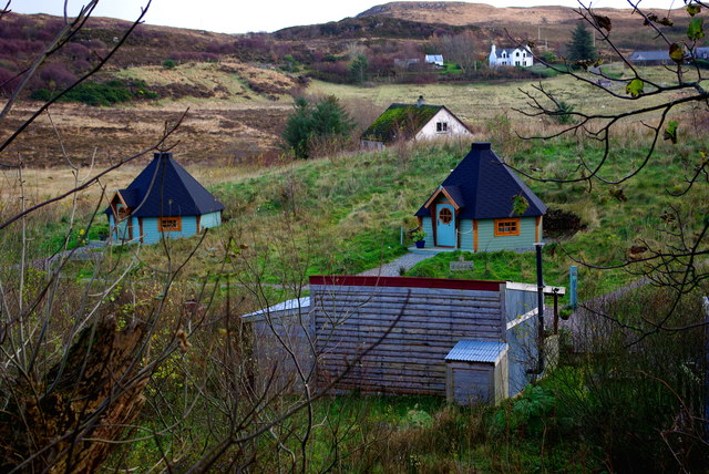
Roag, Skye
Roag (Scottish Gaelic: Ròdhag), meaning noisy place or 'deer bay' in Norse, is a small remote scattered hamlet on the north west shore of Pool Roag in...

Vatten, Skye
Vatten is a hamlet 3 miles (4.8 km) south east of Dunvegan, on the eastern shore of Loch Vatten, on the Isle of Skye, in the council area of Highland,...
Harlosh
Harlosh (Scottish Gaelic: Heàrrlois) is a settlement on the island of Skye off the west coast of Scotland. The settlement is on a peninsula of the same...
Feorlig
Feorlig (Scottish Gaelic: Feòirlig) is a small crofting settlement on the northwest shore of Loch Caroy near Dunvegan on the Isle of Skye in the Highlands...
Dunvegan
Dunvegan (Scottish Gaelic: Dùn Bheagain) is a village on the Isle of Skye in Scotland. It is famous for Dunvegan Castle, seat of the chiefs of Clan MacLeod...

Harlosh Island
Harlosh Island is one of four islands to be found in Skye's Loch Bracadale. Harlosh Island is one mile (1.5 kilometres) from the coast of the Duirinish...

Dunvegan Castle
Dunvegan Castle (Caisteal Dhùn Bheagain) is located 1 mile (1.6 km) to the north of Dunvegan on the Isle of Skye, off the west coast of Scotland. It is...

Healabhal Bheag
Healabhal Bheag is a hill located on the Duirinish peninsula of the Isle of Skye in the Inner Hebrides, Scotland. It is also known as MacLeod's Table South...
Nearby Amenities
Located within 500m of 57.408961,-6.5459808Have you been to Cnoc Gresham?
Leave your review of Cnoc Gresham below (or comments, questions and feedback).