Cithis Mhòr

Hill, Mountain in Ross-shire

Scotland

Cithis Mhòr

Port Griogaspuil Always marked on OS maps right back to the very first in 1858, but very little to see other than the ruins of old quays and the low walls of three buildings. Rumoured to be the site of a mill, but not much of a stream to turn a mill wheel
Port Griogaspuil Credit: Richard Barrett

Cithis Mhòr is a prominent hill located in Ross-shire, Scotland. With an elevation of 811 meters (2,661 feet), it is considered one of the significant peaks in the area. Situated in the Northwest Highlands, Cithis Mhòr offers breathtaking views of the surrounding landscape, making it a popular destination for hikers, mountaineers, and nature enthusiasts.

The hill is characterized by its rugged terrain, featuring steep slopes and rocky outcrops. The ascent to the summit can be challenging, requiring a moderate level of fitness and navigational skills. However, the effort is rewarded with panoramic vistas of the nearby lochs, glens, and the surrounding mountain ranges, including the iconic Torridon and Fisherfield Forest.

Cithis Mhòr is also home to a diverse range of flora and fauna. The lower slopes are covered in heather and grasses, while the higher altitudes boast alpine plants and mosses. Birds such as golden eagles and peregrine falcons can often be spotted soaring above the hill, adding to its natural beauty.

Due to its remote location, Cithis Mhòr offers a peaceful and tranquil setting, away from the hustle and bustle of urban life. It provides an opportunity for visitors to connect with nature and enjoy a sense of solitude in the rugged Scottish Highlands.

Overall, Cithis Mhòr stands as a striking landmark in Ross-shire, offering a challenging yet rewarding outdoor experience with its stunning views and diverse ecosystem.

If you have any feedback on the listing, please let us know in the comments section below.
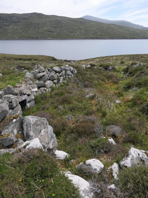
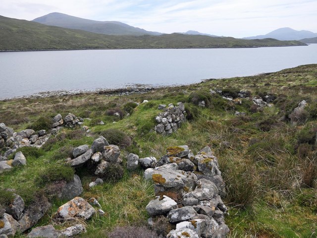
Cithis Mhòr Images

Images are sourced within 2km of 58.016049/-6.6884221 or Grid Reference NB2312. Thanks to Geograph Open Source API. All images are credited.

Port Griogaspuil Always marked on OS maps right back to the very first in 1858, but very little to see other than the ruins of old quays and the low walls of three buildings. Rumoured to be the site of a mill, but not much of a stream to turn a mill wheel
Port Griogaspuil
Always marked on OS maps right back to the very first in 1858, but very little to see other than the ruins of old quays and the low walls of three buildings. Rumoured to be the site of a mill, but not much of a stream to turn a mill wheel
Township remains, Baile Nan Cnocan Fraoich, Isle of Lewis Although classified as a township at <span class="nowrap"><a title="https://canmore.org.uk/site/133934" rel="nofollow ugc noopener" href="https://canmore.org.uk/site/133934">Link</a><img style="margin-left:2px;" alt="External link" title="External link - shift click to open in new window" src="https://s1.geograph.org.uk/img/external.png" width="10" height="10"/></span> , the settlement only seems to have had three buildings.  One of the others can be seen at <a href="https://www.geograph.org.uk/photo/5858754">NB2113 : Township remains, Baile Nan Cnocan Fraoich, Isle of Lewis</a>.
Township remains, Baile Nan Cnocan Fraoich, Isle of Lewis
Although classified as a township at LinkExternal link , the settlement only seems to have had three buildings. One of the others can be seen at NB2113 : Township remains, Baile Nan Cnocan Fraoich, Isle of Lewis.
Township remains, Baile Nan Cnocan Fraoich, Isle of Lewis Although classified as a township at <span class="nowrap"><a title="https://canmore.org.uk/site/133934" rel="nofollow ugc noopener" href="https://canmore.org.uk/site/133934">Link</a><img style="margin-left:2px;" alt="External link" title="External link - shift click to open in new window" src="https://s1.geograph.org.uk/img/external.png" width="10" height="10"/></span> , the settlement only seems to have had three buildings.  One of the others can be seen at <a href="https://www.geograph.org.uk/photo/5855211">NB2213 : Township remains, Baile Nan Cnocan Fraoich, Isle of Lewis</a>.
Township remains, Baile Nan Cnocan Fraoich, Isle of Lewis
Although classified as a township at LinkExternal link , the settlement only seems to have had three buildings. One of the others can be seen at NB2213 : Township remains, Baile Nan Cnocan Fraoich, Isle of Lewis.
Salt marsh by Loch Seaforth/Loch Shiphoirt, Isle of Lewis The Aline Community Woodland can be seen on the right and in the centre of the horizon is the unnamed hill on Eilean Shìophoirt.
Salt marsh by Loch Seaforth/Loch Shiphoirt, Isle of Lewis
The Aline Community Woodland can be seen on the right and in the centre of the horizon is the unnamed hill on Eilean Shìophoirt.
Strath Ban Moorland between Cithis Bheag and Sidhean An Airgrid. Allt Airagh  Dhomhnuill Charm can be seen on the side of the hill.
Strath Ban
Moorland between Cithis Bheag and Sidhean An Airgrid. Allt Airagh Dhomhnuill Charm can be seen on the side of the hill.
Small unnamed lochan above Strath Ban
An unnamed lochan on Cithis Bheag
Show me another place!

Cithis Mhòr is located at Grid Ref: NB2312 (Lat: 58.016049, Lng: -6.6884221)

Unitary Authority: Na h-Eileanan an Iar

Police Authority: Highlands and Islands

What 3 Words

///windmills.fell.quicker. Near Tarbert, Na h-Eileanan Siar

Nearby Locations

Cithis Mhòr

Related Wikis

Seaforth Island

Seaforth Island (Scottish Gaelic: Eilean Shìphoirt/Shìophoirt or Mulag) is an uninhabited island in the Outer Hebrides of Scotland. Unlike many other...

Ardvourlie Castle

Ardvourlie Castle is a 19th-century country house on Harris, one of the Western Isles off the north-west coast of Scotland. The house was built beside...

Airidh a' Bhruaich

Airidh a' Bhruaich (Arivruaich - anglicised) is a scattered crofting township in the South Lochs district of the Isle of Lewis in the Outer Hebrides of...

Loch Seaforth

Loch Seaforth (Scottish Gaelic: Loch Shiphoirt or Shìophoirt) is a sea loch in the Outer Hebrides of Scotland. It consists of three distinct sections;...

Nearby Amenities

Located within 500m of 58.016049,-6.6884221
Cithis Mhòr
Ele: 146
Natural: peak
Source: OS7
Lat/Long: 58.0164321/-6.6906506
The data included in this document is from www.openstreetmap.org. The data is made available under ODbL.

Have you been to Cithis Mhòr?

Leave your review of Cithis Mhòr below (or comments, questions and feedback).