Cnoc Mór Moa
Hill, Mountain in Ross-shire
Scotland
Cnoc Mór Moa
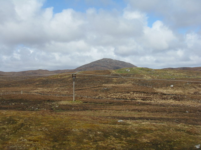
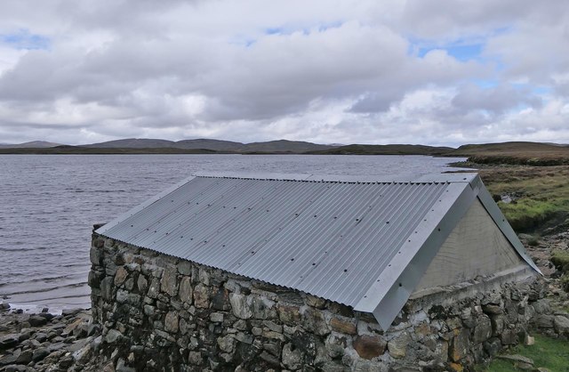
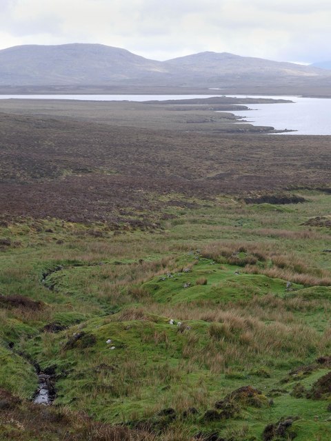
![Roineval [Ròineabhal] Via A859 and Slèiteachal Mhòr with Jonathan de Ferranti, Jim Bloomer and Mat Webster. A conspicuous and locally steep summit plus no paths at all. Summit shelter contains remains of trig point.
Name: Roineval [Ròineabhal]
Hill number: 1576
Height: 281m / 922ft
Area: 24A: Lewis and Nearby Islands
Class: Ma
Grid ref: NB 23300 21211
Summit feature: shelter on rock
Drop: 203m
Col: 78m NB230200](https://s0.geograph.org.uk/geophotos/03/26/57/3265760_48b4a00a.jpg)
Cnoc Mór Moa, located in Ross-shire, Scotland, is a prominent hill/mountain that stands at an elevation of approximately 755 meters (2,477 feet) above sea level. It is part of the larger mountain range known as the Northwest Highlands, which spans across the Scottish Highlands.
The name "Cnoc Mór Moa" translates to "big hill of the moor" in Gaelic, reflecting its dominant position in the surrounding moorland landscape. The hill is characterized by its rugged terrain, with steep slopes and rocky outcrops, making it a challenging but rewarding destination for hikers and climbers.
The summit of Cnoc Mór Moa offers breathtaking panoramic views of the surrounding area, including Loch Maree and the Torridon mountains. On a clear day, it is possible to see as far as the Isle of Skye in the distance. The hill is also home to a diverse range of flora and fauna, with heather, grasses, and mosses covering the lower slopes, and hardy mountain plants and lichens found at higher altitudes.
Access to Cnoc Mór Moa is typically gained from the nearby village of Aultbea, where a well-marked footpath leads towards the hill. It is recommended for visitors to be adequately prepared with appropriate clothing, footwear, and navigational equipment, as the weather conditions can be harsh and changeable.
Overall, Cnoc Mór Moa offers a challenging yet rewarding outdoor experience for nature enthusiasts and mountaineers, with its stunning views, diverse ecosystem, and rugged beauty.
If you have any feedback on the listing, please let us know in the comments section below.
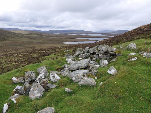
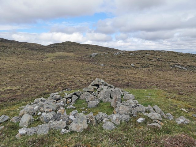
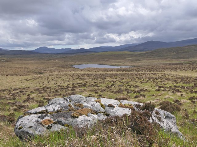
Cnoc Mór Moa Images
Images are sourced within 2km of 58.081848/-6.7052007 or Grid Reference NB2219. Thanks to Geograph Open Source API. All images are credited.


Cnoc Mór Moa is located at Grid Ref: NB2219 (Lat: 58.081848, Lng: -6.7052007)
Unitary Authority: Na h-Eileanan an Iar
Police Authority: Highlands and Islands
What 3 Words
///regaining.nodded.describe. Near Leurbost, Na h-Eileanan Siar
Nearby Locations
Related Wikis

Eilean Mòr, Loch Langavat
Eilean Mòr is an island in Loch Langavat on the Isle of Lewis in the Outer Hebrides of Scotland. == Footnotes ==

Airidh a' Bhruaich
Airidh a' Bhruaich (Arivruaich - anglicised) is a scattered crofting township in the South Lochs district of the Isle of Lewis in the Outer Hebrides of...

Balallan
Balallan (Scottish Gaelic: Baile Ailein, Bail' Ailein), meaning "Allan's Town", is a crofting township on the Isle of Lewis, in the Outer Hebrides, Scotland...

Seaforth Island
Seaforth Island (Scottish Gaelic: Eilean Shìphoirt/Shìophoirt or Mulag) is an uninhabited island in the Outer Hebrides of Scotland. Unlike many other...
Have you been to Cnoc Mór Moa?
Leave your review of Cnoc Mór Moa below (or comments, questions and feedback).