Ballards Gore

Settlement in Essex Rochford

England

Ballards Gore

Downtown Paglesham Churchend Churchend is an isolated place consisting of a few larger houses, two rows of cottages and a medieval parish church. The weatherboarded building at the left-hand end of the row is the former 'Punch Bowl' public house which closed in January 2017
Downtown Paglesham Churchend Credit: David Kemp

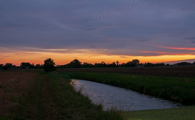
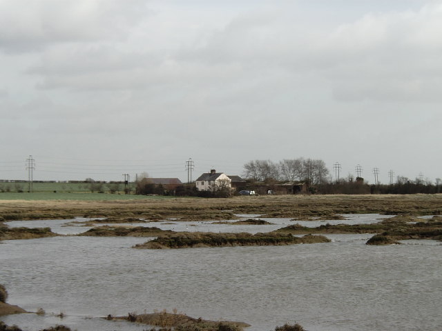
Ballards Gore is a small village located in the county of Essex, England. Situated approximately 3 miles east of Basildon, it falls within the Basildon district. The village is nestled in a mostly rural area, surrounded by farmland and fields.

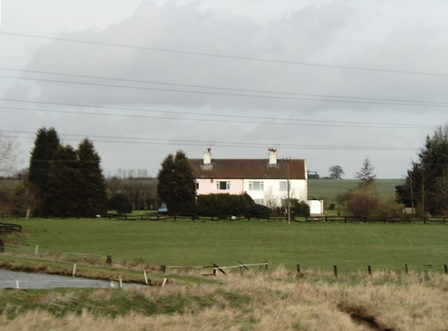
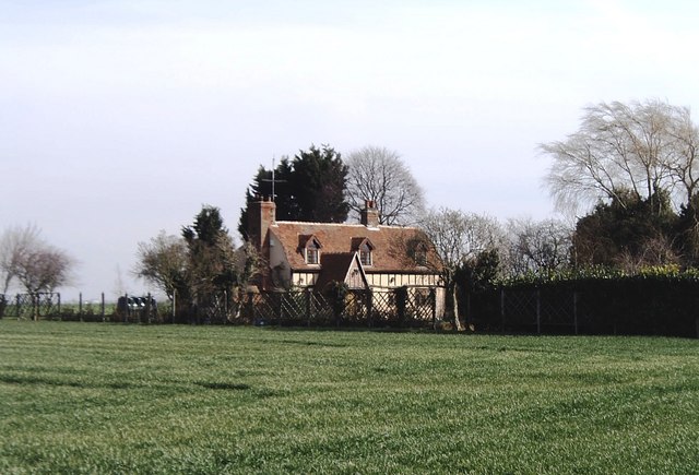
Ballards Gore is known for its picturesque countryside, offering visitors and residents a tranquil and idyllic setting. The village itself is quite small, with a population of around 300 people. It consists of a scattering of residential properties, including traditional cottages and modern houses. The architecture in the village reflects the rural character of the area.

Despite its small size, Ballards Gore has a sense of community, with various social activities and events organized throughout the year. These events often take place in the village hall, a central gathering place for residents.

The village benefits from its proximity to Basildon, where residents have access to a wide range of amenities and services. Basildon provides shopping centers, schools, healthcare facilities, and recreational options.

In terms of transportation, Ballards Gore is well-connected to nearby towns and cities. The A127 road runs close to the village, offering easy access to Basildon and other major routes. Train services can be accessed from nearby Basildon or Pitsea stations, providing connections to London and other parts of Essex.

Overall, Ballards Gore offers a peaceful and rural lifestyle, with the convenience of nearby urban amenities. Its picturesque surroundings and strong community spirit make it an attractive place to live or visit.

If you have any feedback on the listing, please let us know in the comments section below.

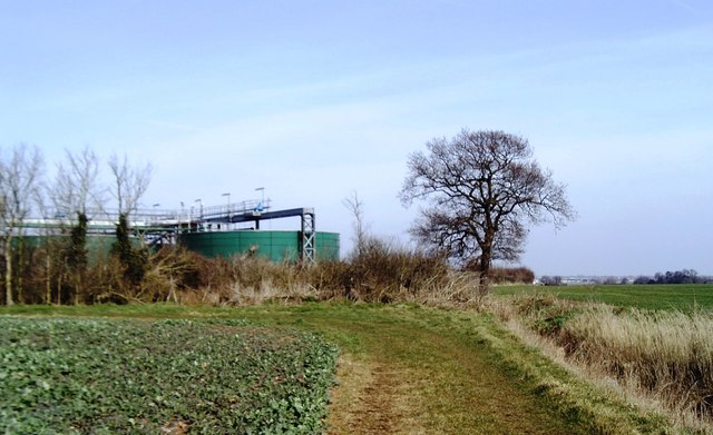
Ballards Gore Images

Images are sourced within 2km of 51.601219/0.753254 or Grid Reference TQ9092. Thanks to Geograph Open Source API. All images are credited.

Downtown Paglesham Churchend Churchend is an isolated place consisting of a few larger houses, two rows of cottages and a medieval parish church. The weatherboarded building at the left-hand end of the row is the former 'Punch Bowl' public house which closed in January 2017
Downtown Paglesham Churchend
Churchend is an isolated place consisting of a few larger houses, two rows of cottages and a medieval parish church. The weatherboarded building at the left-hand end of the row is the former 'Punch Bowl' public house which closed in January 2017
Interior of St Peter, Paglesham looking east The church was largely rebuilt in the C15 with a porch and vestry added in the C19.
Interior of St Peter, Paglesham looking east
The church was largely rebuilt in the C15 with a porch and vestry added in the C19.
Interior of St Peter, Paglesham looking west The church was largely rebuilt in the C15 with a porch and vestry added in the C19.
Interior of St Peter, Paglesham looking west
The church was largely rebuilt in the C15 with a porch and vestry added in the C19.
St Peter Paglesham, tower arch Sited rather incongruously at the foot of the tower arch are the former inner great west doors of Westminster Abbey which were moved to Paglesham in 1967.The church was largely rebuilt in the C15 with a porch and vestry added in the C19.
St Peter Paglesham, tower arch
Sited rather incongruously at the foot of the tower arch are the former inner great west doors of Westminster Abbey which were moved to Paglesham in 1967.The church was largely rebuilt in the C15 with a porch and vestry added in the C19.
Sundown at Paglesham The Parish of Paglesham includes two hamlets of Eastend and Churchend, which are situated near the River Crouch and Paglesham Creek. It is part of the Roach Valley Conservation Zone.
At Eastend are The Plough and Sail Public House. There is an unmade road (Waterside Road) full of large potholes leading to a boatyard on the River Roach. There are small number of houses.
At Churchend, St Peters Church and the Punch Bowl Inn can be found. There are a small number of houses and a farm.
The two hamlets form one of Essex’s oldest fishing villages and the area was once renowned as a smuggling centre.
Sundown at Paglesham
The Parish of Paglesham includes two hamlets of Eastend and Churchend, which are situated near the River Crouch and Paglesham Creek. It is part of the Roach Valley Conservation Zone. At Eastend are The Plough and Sail Public House. There is an unmade road (Waterside Road) full of large potholes leading to a boatyard on the River Roach. There are small number of houses. At Churchend, St Peters Church and the Punch Bowl Inn can be found. There are a small number of houses and a farm. The two hamlets form one of Essex’s oldest fishing villages and the area was once renowned as a smuggling centre.
Paglesham Churchend The Church at Paglesham Churchend
Paglesham Churchend
The Church at Paglesham Churchend
Lambourne Hall Farm This is a picture of Lambourne Hall farm near Canewdon looking west from the footpath that runs by the farm.
Lambourne Hall Farm
This is a picture of Lambourne Hall farm near Canewdon looking west from the footpath that runs by the farm.
Rosewood Bunker This is the guardhouse to RAF Canewdon in Gardener’s Lane it is now a private property called “Rosewood”. The site was part of the chain home radar system from WW2 that was used for many years after. However this site closed not long after the end of the war. The aerial masts were sited to the north.  One of the masts was bought by Marconi and still exists.  See <a href="https://www.geograph.org.uk/gridref/TL7203">TL7203</a>
A second mast was also reused somewhere on the Welsh coast although in cut down form. There are some that think the site was used into the Cold War.
Rosewood Bunker
This is the guardhouse to RAF Canewdon in Gardener’s Lane it is now a private property called “Rosewood”. The site was part of the chain home radar system from WW2 that was used for many years after. However this site closed not long after the end of the war. The aerial masts were sited to the north. One of the masts was bought by Marconi and still exists. See TL7203 A second mast was also reused somewhere on the Welsh coast although in cut down form. There are some that think the site was used into the Cold War.
Barton Hall, Great Stambridge Taken looking north-east across Bartonhall Creek at Barton Hall itself.
Barton Hall, Great Stambridge
Taken looking north-east across Bartonhall Creek at Barton Hall itself.
Farm cottages at Hampton Barns, near Great Stambridge Taken from the Roach Valley Way footpath looking north.
Farm cottages at Hampton Barns, near Great Stambridge
Taken from the Roach Valley Way footpath looking north.
Moats & Springs, near Great Stambridge Moats & Springs, a farmhouse surrounded by prairie-like fields, dates back to 1136 according to a plaque on the wall.
Moats & Springs, near Great Stambridge
Moats & Springs, a farmhouse surrounded by prairie-like fields, dates back to 1136 according to a plaque on the wall.
Sewage tanks near Great Stambridge Taken looking north from a public footpath.
Sewage tanks near Great Stambridge
Taken looking north from a public footpath.
Footpath through Ballards Gore Golf Club Footpath  through golf course north towards Canewdon. When I was a lad, this area was an abandoned gravel working with spoil tips, old machinery, rough scrub and flooded pits with tench the size of nuclear submarines. It's gone sadly downhill over the last 40 years.
Footpath through Ballards Gore Golf Club
Footpath through golf course north towards Canewdon. When I was a lad, this area was an abandoned gravel working with spoil tips, old machinery, rough scrub and flooded pits with tench the size of nuclear submarines. It's gone sadly downhill over the last 40 years.
Stile west of Loftmans Farm The footpath runs south from here to West Hall. But it's been over-sown with wheat and wheat's about all there is in this square. The blue thing on top of the stile is a length of plastic water pipe in which the electric fence wire runs, a gesture by a considerate farmer to prevent electrocution of ramblers. Shame about the over-sowing though.
Stile west of Loftmans Farm
The footpath runs south from here to West Hall. But it's been over-sown with wheat and wheat's about all there is in this square. The blue thing on top of the stile is a length of plastic water pipe in which the electric fence wire runs, a gesture by a considerate farmer to prevent electrocution of ramblers. Shame about the over-sowing though.
Jubilee Cottages, Paglesham This is the most built-up part of the gridsquare. The rest is flat and open farmland.
Jubilee Cottages, Paglesham
This is the most built-up part of the gridsquare. The rest is flat and open farmland.
Paglesham Congregational Church
Loftmans Sluice - Paglesham. Sign on landward side of sluice
Loftmans Sluice - Paglesham.
Sign on landward side of sluice
Land drain - Paglesham Land drains at Loftmans sluice. From this point the Roach Valley Way runs south to
Paglesham Churchend.
Land drain - Paglesham
Land drains at Loftmans sluice. From this point the Roach Valley Way runs south to Paglesham Churchend.
Show me another place!

Ballards Gore is located at Grid Ref: TQ9092 (Lat: 51.601219, Lng: 0.753254)

Administrative County: Essex

District: Rochford

Police Authority: Essex

What 3 Words

///middle.daunted.toned. Near Canewdon, Essex

Nearby Locations

Ballards Gore

Related Wikis

Stambridge

Stambridge is a civil parish in the Rochford district in Essex, England. It is located north of the River Roach between Rochford and Paglesham. The parish...

Great Stambridge

Great Stambridge is a village and former civil parish, 15 miles (24 km) south east of Chelmsford, now in the parish of Stambridge, in the Rochford district...
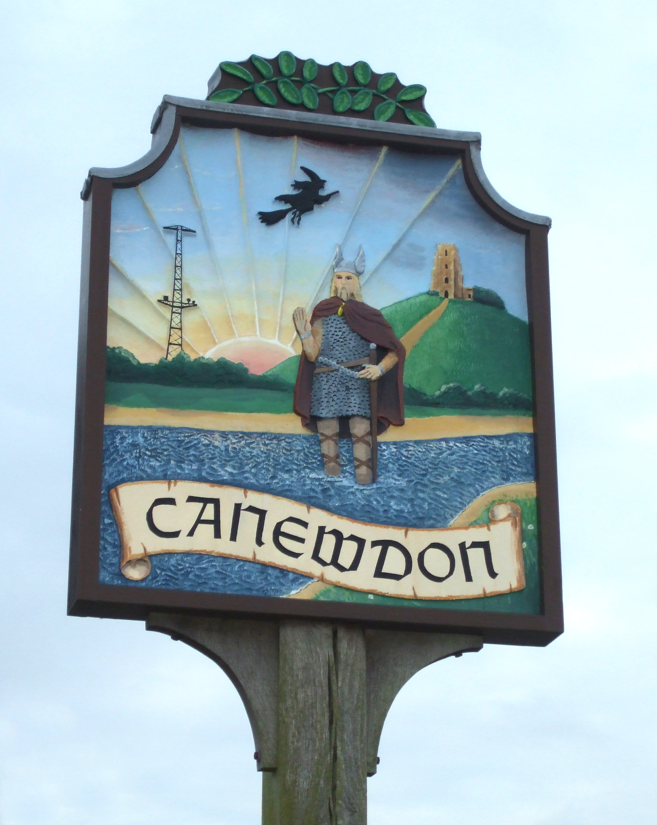
Canewdon

Canewdon is a village and civil parish in the Rochford district of Essex, England. The village is located approximately 4 miles (6.4 km) northeast of the...

Lion Creek and Lower Raypits

Lion Creek and Lower Raypits is a 65.2-hectare (161-acre) nature reserve east of Canewdon in Essex. It is part of the Crouch and Roach Estuaries Site of...
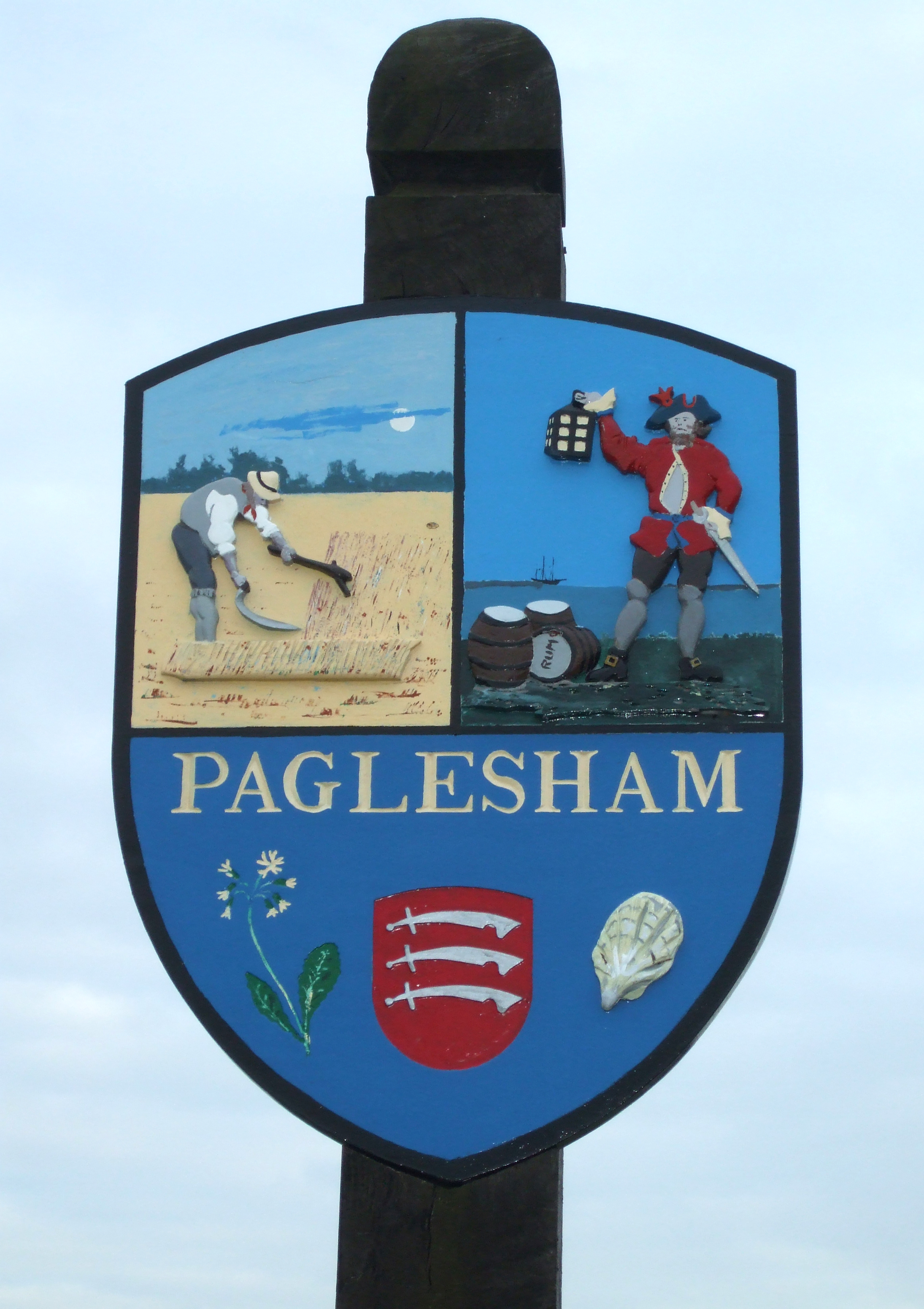
Paglesham

Paglesham ( PAG-əl-shəm) is a village and civil parish in the north east of the Rochford Rural District, Essex. The parish includes two hamlets of Eastend...
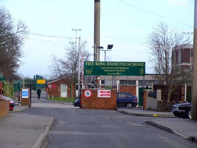
King Edmund School

The King Edmund School is a coeducational secondary school and sixth form located in Rochford, Essex, England. It is a specialist BEC and applied learning...

Rayleigh and Wickford (UK Parliament constituency)

Rayleigh and Wickford is a constituency represented in the House of Commons of the UK Parliament since its 2010 creation by Mark Francois, a Conservative...

Rochford District

Rochford is a local government district in Essex, England. It is named after one of its main settlements, Rochford, where the council is based. The largest...

Nearby Amenities

Located within 500m of 51.601219,0.753254
The Shepherd & Dog
Naptan AtcoCode: 1500SHEDOG1
Naptan Bearing: SE
Naptan BusStopType: CUS
Naptan CommonName: The Shepherd & Dog
Naptan Crossing: Gore Road
Naptan Indicator: From
Naptan Landmark: The Shepherd & Dog
Naptan NaptanCode: esxjdpwj
Naptan PlusbusZoneRef: STHCENT
Naptan Street: Paglesham Road
Naptan Verified: no
Public Transport: platform
Source: naptan_import
Lat/Long: 51.6014624/0.751265
The Shepherd & Dog
Naptan AtcoCode: 1500SHEDOG2
Naptan Bearing: NW
Naptan BusStopType: CUS
Naptan CommonName: The Shepherd & Dog
Naptan Crossing: Gore Road
Naptan Indicator: Towards
Naptan Landmark: The Shepherd & Dog
Naptan NaptanCode: esxjdpwm
Naptan PlusbusZoneRef: STHCENT
Naptan Street: Paglesham Road
Naptan Verified: no
Public Transport: platform
Source: naptan_import
Lat/Long: 51.6013994/0.7511422
Pub
Shepherd & Dog
Lat/Long: 51.6016643/0.7505051
Ballards Gore
Place: hamlet
Wikidata: Q4851526
Lat/Long: 51.601533/0.752017
Bus Stop
The Shepherd & Dog
Naptan AtcoCode: 1500SHEDOG3
Naptan BusStopType: CUS
Naptan NaptanCode: esxjpgjp
Naptan Verified: no
Public Transport: platform
Source: naptan
Lat/Long: 51.601459/0.7507762
Power: pole
Lat/Long: 51.6055861/0.7519707
Power: pole
Lat/Long: 51.6056094/0.7533011
Power: pole
Lat/Long: 51.6053962/0.75461
Power: pole
Lat/Long: 51.6052646/0.7553074
Power: pole
Lat/Long: 51.6051363/0.7563749
The data included in this document is from www.openstreetmap.org. The data is made available under ODbL.

Have you been to Ballards Gore?

Leave your review of Ballards Gore below (or comments, questions and feedback).