Cnoc Beag na h-Aibhne
Hill, Mountain in Ross-shire
Scotland
Cnoc Beag na h-Aibhne

Cnoc Beag na h-Aibhne is a prominent hill located in Ross-shire, Scotland. It is part of the larger Scottish Highlands region and sits in close proximity to the village of Contin. The hill has an elevation of approximately 342 meters (1,122 feet) above sea level.
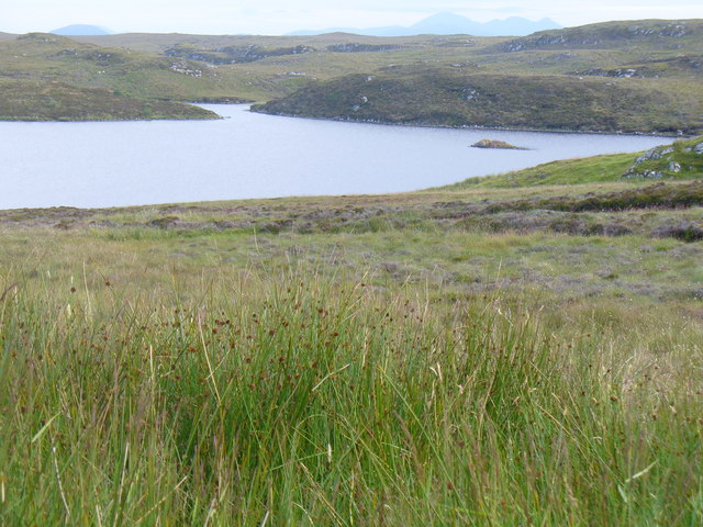
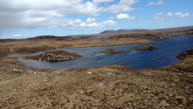
Cnoc Beag na h-Aibhne is known for its picturesque landscape and stunning panoramic views. Its position offers an expansive vista of the surrounding countryside, including the River Conon and the nearby mountains. On clear days, it is possible to see as far as the Moray Firth and the Black Isle.
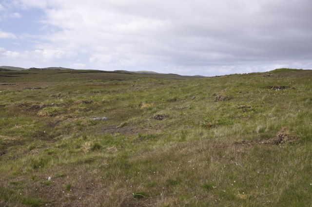
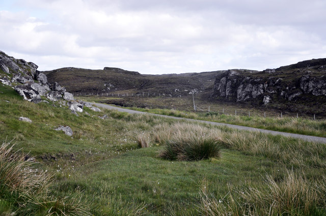
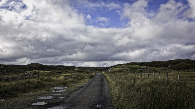
The hill itself is relatively easy to access, with several footpaths leading to the summit. These paths traverse through a mixture of woodlands, open fields, and heather-clad slopes. Along the way, visitors can enjoy the diverse flora and fauna that inhabit the area, including various species of birds, wildflowers, and mammals.
At the top of Cnoc Beag na h-Aibhne, there is a small cairn, serving as a marker and offering a spot to rest and take in the breathtaking scenery. This makes it a popular destination for hikers, nature enthusiasts, and photographers.
Overall, Cnoc Beag na h-Aibhne is a beautiful and accessible hill in Ross-shire, providing an opportunity to immerse oneself in the natural beauty of the Scottish Highlands while enjoying stunning views of the surrounding landscape.
If you have any feedback on the listing, please let us know in the comments section below.
Cnoc Beag na h-Aibhne Images
Images are sourced within 2km of 58.267879/-6.7480382 or Grid Reference NB2140. Thanks to Geograph Open Source API. All images are credited.


Cnoc Beag na h-Aibhne is located at Grid Ref: NB2140 (Lat: 58.267879, Lng: -6.7480382)
Unitary Authority: Na h-Eileanan an Iar
Police Authority: Highlands and Islands
What 3 Words
///explained.micro.whirlpool. Near Carloway, Na h-Eileanan Siar
Related Wikis

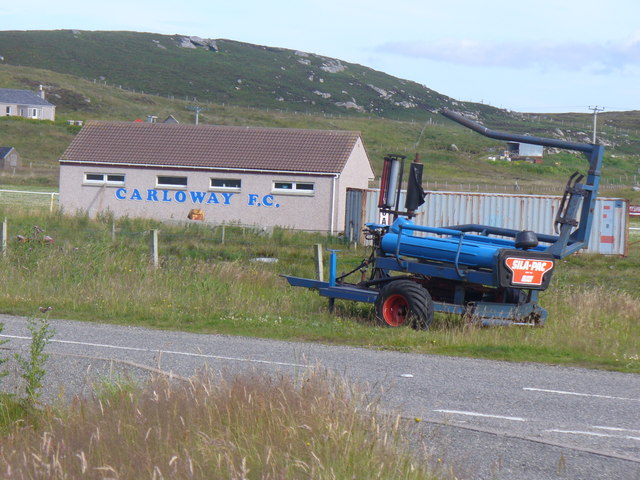
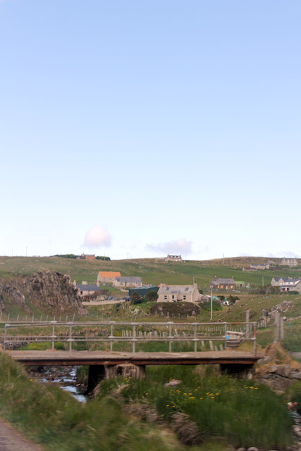
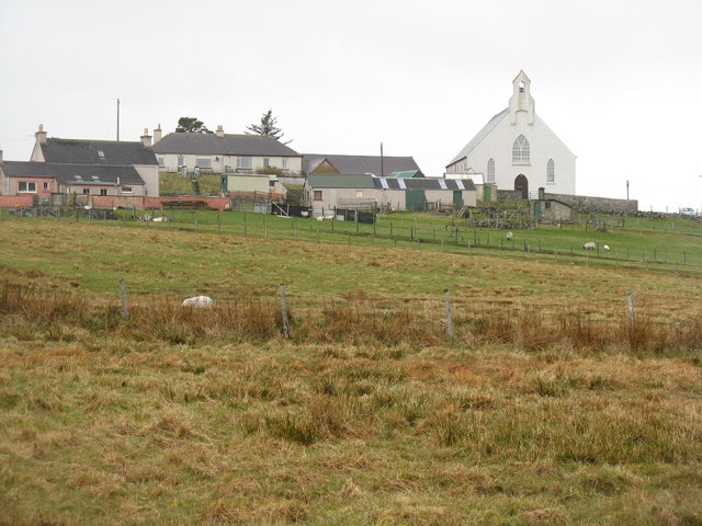
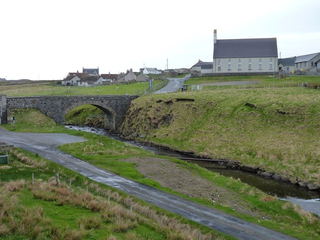
Carloway
Carloway (Scottish Gaelic: Càrlabhagh [ˈkʰaːɾɫ̪ə.ɤː]) is a crofting township and a district on the west coast of the Isle of Lewis, in the Outer Hebrides...

Dun Carloway
Dun Carloway (Scottish Gaelic: Dùn Chàrlabhaigh) is a broch situated in the district of Carloway, on the west coast of the Isle of Lewis, Scotland (grid...

Borrowston, Lewis
Borrowston (Scottish Gaelic: Borghastan), with a population of about 50, is a crofting township situated on the Isle of Lewis, on the Outer Hebrides of...

Tolsta Chaolais
Tolsta Chaolais (also Tolastadh Chaolais, Tolstadh a' Chaolais) is a village on the Isle of Lewis, Scotland. It consists of about forty houses, clustered...
Nearby Amenities
Located within 500m of 58.267879,-6.7480382Have you been to Cnoc Beag na h-Aibhne?
Leave your review of Cnoc Beag na h-Aibhne below (or comments, questions and feedback).