Cnoc a' Choin
Hill, Mountain in Ross-shire
Scotland
Cnoc a' Choin

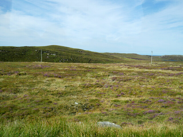
Cnoc a' Choin is a prominent hill located in Ross-shire, Scotland. It sits within the wider area of the Scottish Highlands, offering breathtaking views and a challenging terrain for outdoor enthusiasts. With an elevation of approximately 571 meters (1,873 feet), it is considered a substantial mountain rather than just a hill.
The name "Cnoc a' Choin" translates to "Hill of the Dog" in English, possibly referring to a historical association or local legend. The hill is known for its distinctive shape, featuring a rounded summit that provides a panoramic vista of the surrounding landscape.
The ascent of Cnoc a' Choin is a popular activity for hikers and mountaineers due to its accessibility and rewarding views. There are several routes to reach the summit, varying in difficulty and length. Some paths are well-marked and maintained, while others require more advanced navigation skills.
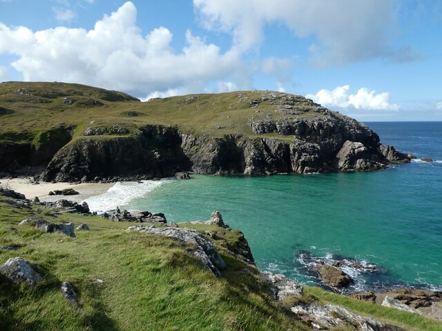
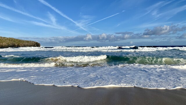
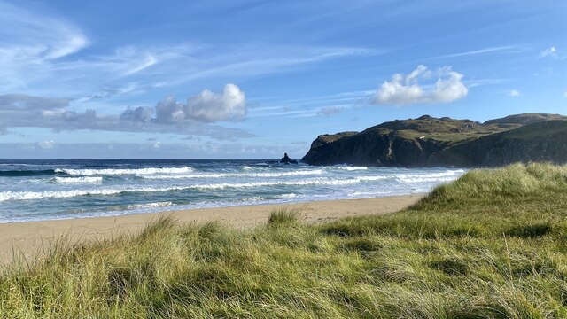
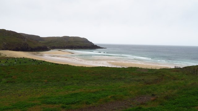
Upon reaching the top, visitors are treated to stunning vistas of the Scottish Highlands, including nearby lochs, glens, and the rugged coastline. On clear days, it is possible to see as far as the distant mountains of Skye and the Outer Hebrides.
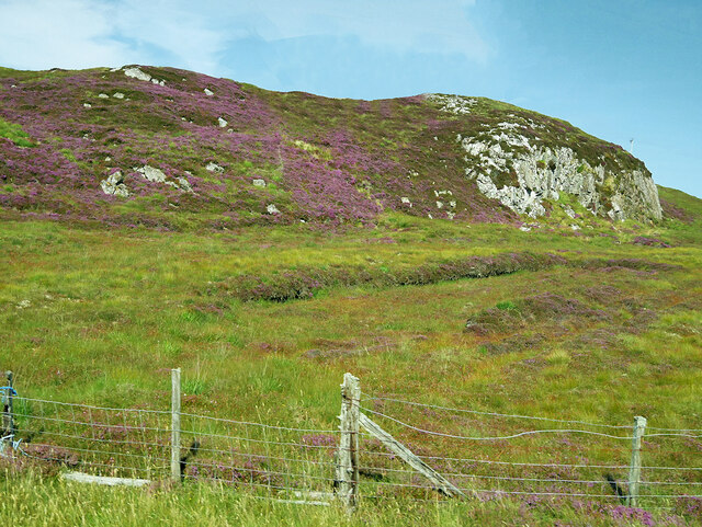
Cnoc a' Choin is also home to a diverse range of flora and fauna, with heather-covered slopes and scattered birch trees. Birdwatchers may spot various species, including golden eagles and peregrine falcons, soaring above the hill's craggy cliffs.
Overall, Cnoc a' Choin offers outdoor enthusiasts an opportunity to immerse themselves in the natural beauty and ruggedness of the Scottish Highlands, making it a popular destination for hikers, mountaineers, and nature lovers alike.
If you have any feedback on the listing, please let us know in the comments section below.
Cnoc a' Choin Images
Images are sourced within 2km of 58.30054/-6.7627767 or Grid Reference NB2144. Thanks to Geograph Open Source API. All images are credited.


Cnoc a' Choin is located at Grid Ref: NB2144 (Lat: 58.30054, Lng: -6.7627767)
Unitary Authority: Na h-Eileanan an Iar
Police Authority: Highlands and Islands
What 3 Words
///inspected.fool.goat. Near Carloway, Na h-Eileanan Siar
Nearby Locations
Related Wikis

Garenin
Garenin (Scottish Gaelic: Na Gearrannan) is a crofting township on the west coast of the Isle of Lewis in the Outer Hebrides of Scotland. Garenin is in...

Carloway
Carloway (Scottish Gaelic: Càrlabhagh [ˈkʰaːɾɫ̪ə.ɤː]) is a crofting township and a district on the west coast of the Isle of Lewis, in the Outer Hebrides...

Borrowston, Lewis
Borrowston (Scottish Gaelic: Borghastan), with a population of about 50, is a crofting township situated on the Isle of Lewis, on the Outer Hebrides of...

Dun Carloway
Dun Carloway (Scottish Gaelic: Dùn Chàrlabhaigh) is a broch situated in the district of Carloway, on the west coast of the Isle of Lewis, Scotland (grid...
Related Videos

Alpkit Kangri Carloway Trip
Gusting up to 50mph in Carloway, the Kangri never moved an inch.


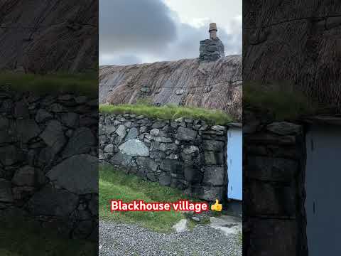
Gearrannan village of traditional houses
Gearrannan Black House village on the Isle of Lewis.
Nearby Amenities
Located within 500m of 58.30054,-6.7627767Have you been to Cnoc a' Choin?
Leave your review of Cnoc a' Choin below (or comments, questions and feedback).