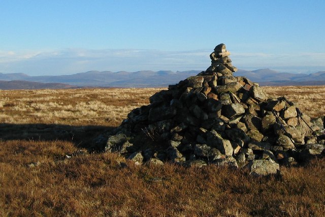
Beinn a' Chapuill
Hill, Mountain in Inverness-shire
Scotland
Beinn a' Chapuill

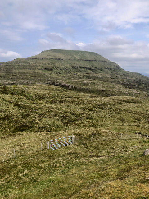
Beinn a' Chapuill is a prominent hill located in Inverness-shire, Scotland. It is part of the larger Monadhliath Mountains range and stands at an elevation of 809 meters (2,654 feet). The name Beinn a' Chapuill translates to "Hill of the Horse" in Scottish Gaelic.
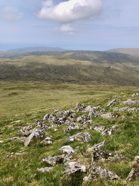
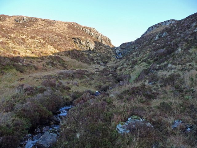
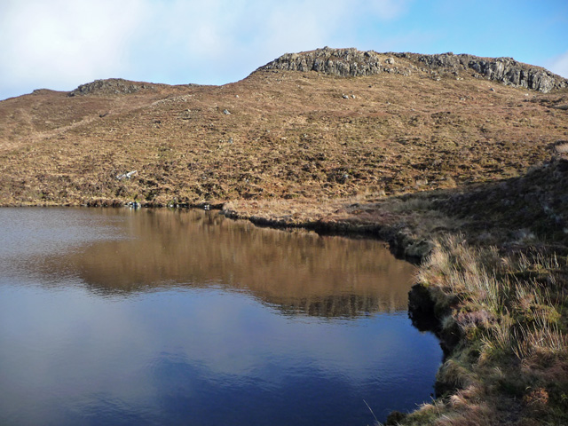
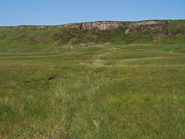
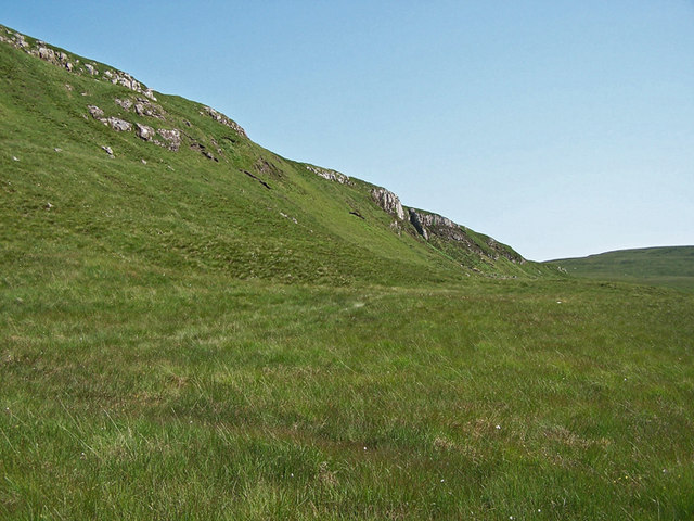
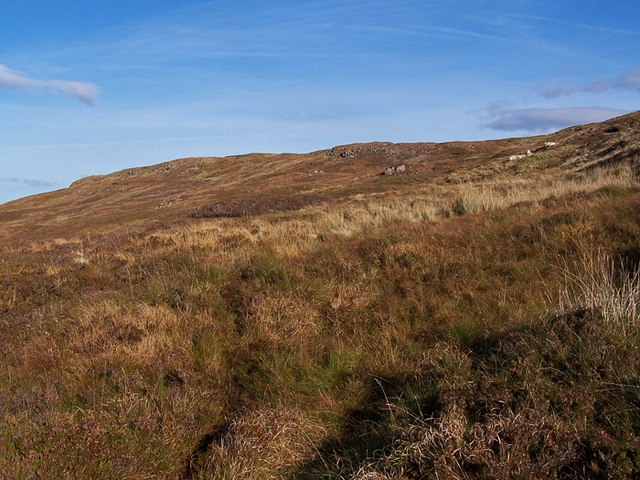
The hill is characterized by its distinctive shape, with a rounded summit and steep slopes covered in heather and grass. The terrain is relatively rugged, making it a popular destination for hillwalkers and hikers seeking a challenging ascent.
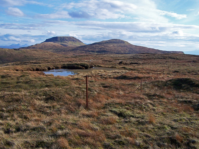
The views from the summit of Beinn a' Chapuill are breathtaking, offering panoramic vistas of the surrounding highlands and glens. On a clear day, it is possible to see the distant peaks of the Cairngorms National Park to the southeast.
The hill is accessible by several well-marked paths and trails, although it is important for visitors to be adequately prepared with appropriate footwear and equipment. The ascent can be demanding, particularly during inclement weather conditions when the slopes may become slippery and visibility may be reduced.
Beinn a' Chapuill is home to a variety of wildlife, including red deer, mountain hares, and a range of bird species. It is advisable for visitors to adhere to responsible outdoor practices, such as leaving no trace and respecting the natural habitat of the area.
Overall, Beinn a' Chapuill is a captivating hill in Inverness-shire, offering an exhilarating outdoor experience for those seeking to explore the beauty of the Scottish highlands.
If you have any feedback on the listing, please let us know in the comments section below.
Beinn a' Chapuill Images
Images are sourced within 2km of 57.389249/-6.6454964 or Grid Reference NG2042. Thanks to Geograph Open Source API. All images are credited.


Beinn a' Chapuill is located at Grid Ref: NG2042 (Lat: 57.389249, Lng: -6.6454964)
Unitary Authority: Highland
Police Authority: Highlands and Islands
What 3 Words
///probably.mandolin.presented. Near Glendale, Highland
Nearby Locations
Related Wikis
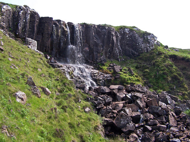
Eas Mòr, Durinish
Eas Mòr is a waterfall on the Duirinish peninsula of the island of Skye in Scotland. It lies on the Allt Mhicheil, a tributary of the Dibidal River below...

Healabhal Bheag
Healabhal Bheag is a hill located on the Duirinish peninsula of the Isle of Skye in the Inner Hebrides, Scotland. It is also known as MacLeod's Table South...

Ramasaig
Ramasaig is a small township on the western shore of the Duirinish peninsula, on Dunvegan, Isle of Skye and is in the Scottish Highlands and is in the...

Duirinish, Skye
Duirinish (Scottish Gaelic: Diùirinis) is a peninsula and civil parish on the island of Skye in Scotland. It is situated in the north west between Loch...
Nearby Amenities
Located within 500m of 57.389249,-6.6454964Have you been to Beinn a' Chapuill?
Leave your review of Beinn a' Chapuill below (or comments, questions and feedback).