Cnoc na Fola
Hill, Mountain in Ross-shire
Scotland
Cnoc na Fola

Cnoc na Fola is a prominent hill located in Ross-shire, a county in the Scottish Highlands. It is situated in the picturesque region of Wester Ross, offering breathtaking views of the surrounding landscapes. The hill has an elevation of approximately 810 meters (2,657 feet), making it a popular spot for hikers and outdoor enthusiasts.
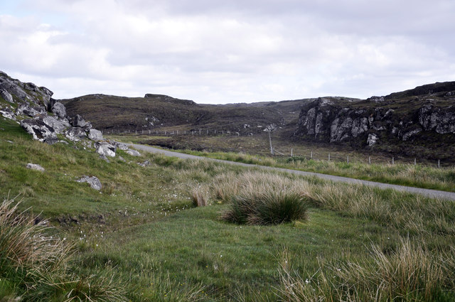
Cnoc na Fola is characterized by its rugged terrain, with steep slopes and rocky outcrops. The hill is covered in heather and grasses, providing a vibrant display of colors during the summer months. Its diverse flora and fauna make it an ideal location for nature lovers and wildlife enthusiasts.
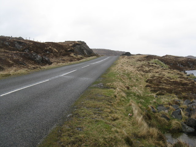
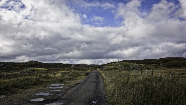
The hill is accessible via a well-defined path that starts from the nearby village of Achnasheen. The ascent to the summit can be challenging, but the rewarding panoramic views from the top make it worth the effort. On a clear day, visitors can enjoy sweeping vistas of the nearby Beinn Dearg range, the picturesque Loch Maree, and the surrounding mountainous landscapes.
Cnoc na Fola also holds historical significance, with remnants of ancient settlements and burial sites found in the vicinity. These archaeological sites provide a glimpse into the area's rich past and add to its overall allure.
Overall, Cnoc na Fola is a must-visit destination for those seeking adventure, natural beauty, and a deeper connection with Scotland's history and wilderness.
If you have any feedback on the listing, please let us know in the comments section below.
Cnoc na Fola Images
Images are sourced within 2km of 58.259267/-6.7611519 or Grid Reference NB2039. Thanks to Geograph Open Source API. All images are credited.


![Islands in Loch a' Bhaile Viewed from the loop road into Tolastadh a&#039; Chaolais from the A858, the main [only] road from Barabhas.](https://s1.geograph.org.uk/geophotos/03/46/55/3465517_0e248291.jpg)
![Dùn in Loch an Dùnain One of many such small forts in the Hebrides, about 2000 years old and often on islands in lochans. This one is by the road [A858] between Dùn Chàrlabhaigh and Siadar. Apparently the climate was milder in those days, and I&#039;m glad for them - it was cold, wet and windy when I was there in late-May.](https://s3.geograph.org.uk/geophotos/03/47/35/3473555_300a7d7f.jpg)
![Loch an Dùnain, with remains of a Dùn One of many such small forts in the Hebrides, about 2000 years old and often on islands in lochans. This one is by the road [A858] between Dùn Chàrlabhaigh and Siadar. Apparently the climate was milder in those days, and I&#039;m glad for them - it was cold, wet and windy when I was there in late-May.](https://s2.geograph.org.uk/geophotos/03/47/35/3473558_5b4d479e.jpg)

Cnoc na Fola is located at Grid Ref: NB2039 (Lat: 58.259267, Lng: -6.7611519)
Unitary Authority: Na h-Eileanan an Iar
Police Authority: Highlands and Islands
What 3 Words
///snacks.stooping.comment. Near Carloway, Na h-Eileanan Siar
Nearby Locations
Related Wikis

Dun Carloway
Dun Carloway (Scottish Gaelic: Dùn Chàrlabhaigh) is a broch situated in the district of Carloway, on the west coast of the Isle of Lewis, Scotland (grid...

Tolsta Chaolais
Tolsta Chaolais (also Tolastadh Chaolais, Tolstadh a' Chaolais) is a village on the Isle of Lewis, Scotland. It consists of about forty houses, clustered...

Carloway
Carloway (Scottish Gaelic: Càrlabhagh [ˈkʰaːɾɫ̪ə.ɤː]) is a crofting township and a district on the west coast of the Isle of Lewis, in the Outer Hebrides...

Borrowston, Lewis
Borrowston (Scottish Gaelic: Borghastan), with a population of about 50, is a crofting township situated on the Isle of Lewis, on the Outer Hebrides of...
Related Videos

Alpkit Kangri Carloway Trip
Gusting up to 50mph in Carloway, the Kangri never moved an inch.
Dun Carloway Broch On Visit To Isle Of Lewis Outer Hebrides Scotland
Tour Scotland travel video, with Scottish music, of Dun Carloway Broch, Scottish Gaelic: Dùn Chàrlabhaigh, on visit to the west ...

𝕯𝖚𝖓 𝕮𝖆𝖗𝖑𝖔𝖜𝖆𝖞 𝕭𝖗𝖔𝖈𝖍, 𝕴𝖘𝖑𝖊 𝖔𝖋 𝕷𝖊𝖜𝖎𝖘, 𝕰𝖝𝖕𝖑𝖔𝖗𝖎𝖓𝖌 𝕾𝖈𝖔𝖙𝖑𝖆𝖓𝖉'𝖘 𝕳𝖎𝖘𝖙𝖔𝖗𝖞
Dun Carloway Broch, Isle of Lewis, Exploring Scotland's History One of the first monuments to be protected by the state, away ...

Dun Carloway Broch, Doune, Isle of Lewis, Autumn 2023 - DJI AIR3 4K 60fps
No trip to the Outer Hebrides would be complete without a stop - however brief at the exposed and perpetually windswept Dun ...
Have you been to Cnoc na Fola?
Leave your review of Cnoc na Fola below (or comments, questions and feedback).