Cnoc a' Bhuntata
Hill, Mountain in Ross-shire
Scotland
Cnoc a' Bhuntata
Cnoc a' Bhuntata, located in Ross-shire, Scotland, is a prominent hill/mountain known for its stunning natural beauty and historical significance. Standing at an elevation of approximately 724 meters (2,375 feet), it offers breathtaking panoramic views of the surrounding landscape.
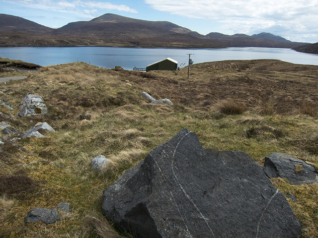
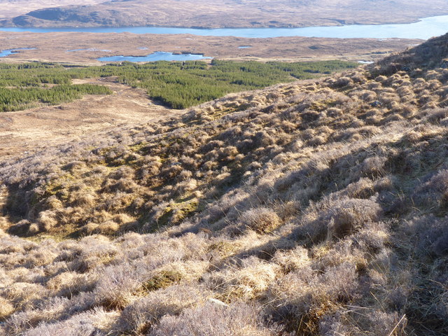
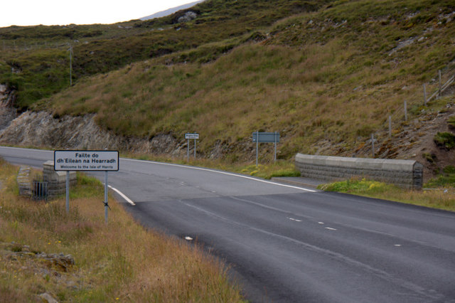
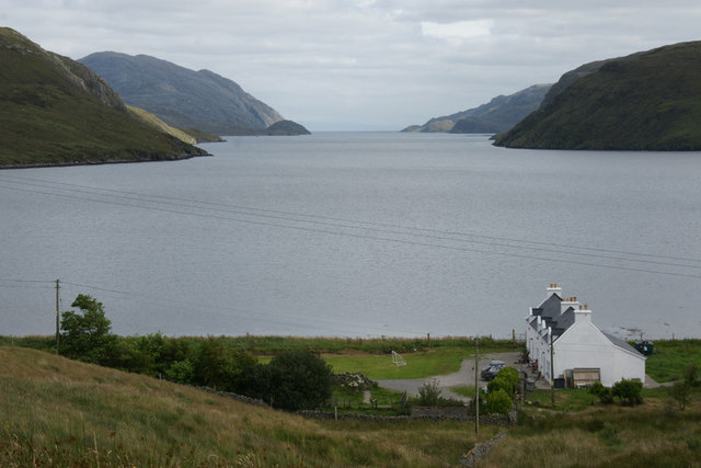
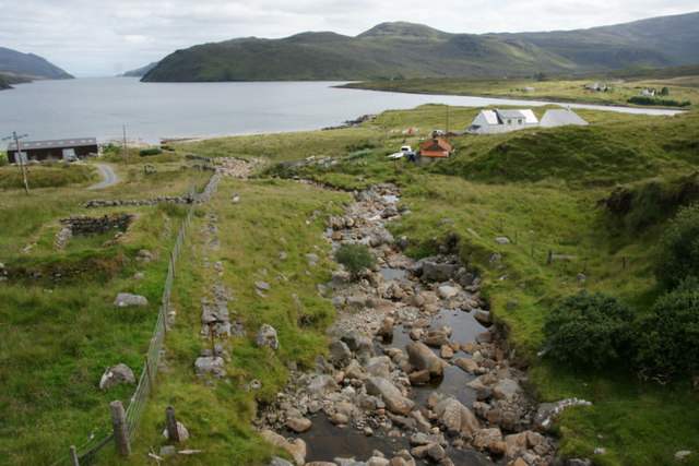
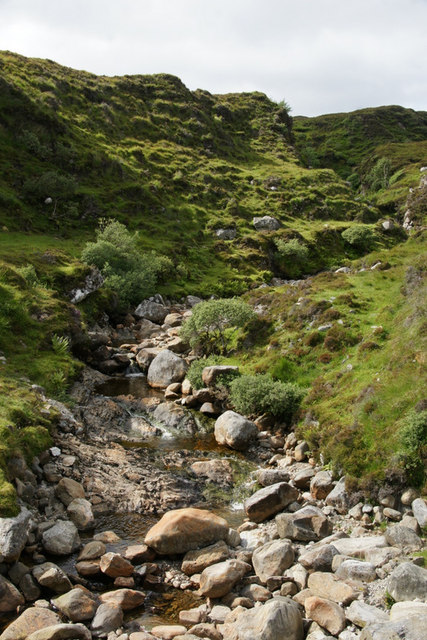
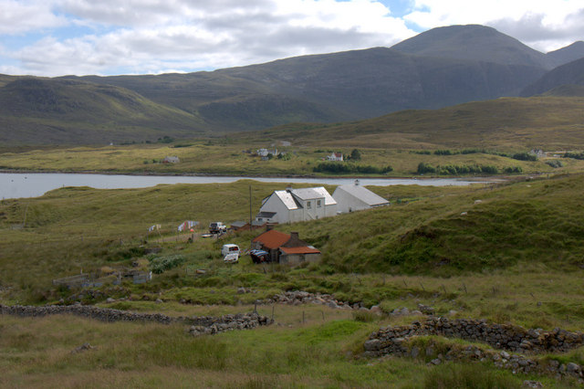
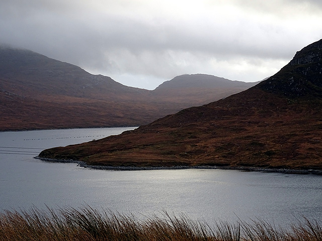
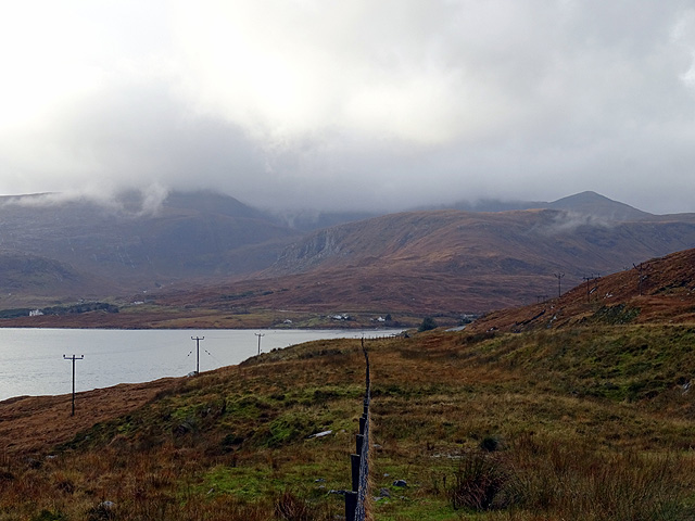
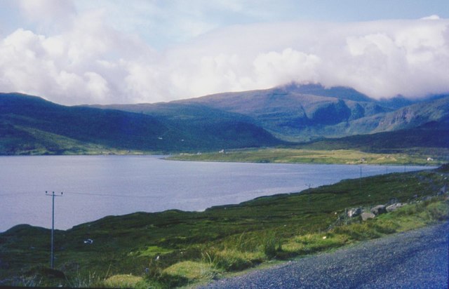
The hill/mountain is situated within the expansive Wester Ross area, renowned for its rugged terrain, lush greenery, and diverse wildlife. Cnoc a' Bhuntata forms part of the Torridon Hills, a range characterized by dramatic peaks and deep valleys. Its distinctive shape and rocky slopes make it a popular destination for hikers, mountaineers, and nature enthusiasts.
The name "Cnoc a' Bhuntata" translates to "Potato Hill" in English, and it is believed to have received this name due to the historical significance of potato cultivation in the region. Ross-shire, in general, has a rich agricultural history, and potatoes were a vital crop during the 18th and 19th centuries. The hill's name serves as a reminder of the area's agricultural heritage.
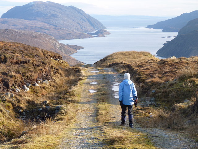
Cnoc a' Bhuntata offers various hiking routes, ranging from moderate to challenging, allowing visitors to explore its diverse landscape. The ascent to the summit rewards hikers with breathtaking vistas of Loch Torridon, the surrounding mountains, and the wild beauty of the Scottish Highlands.
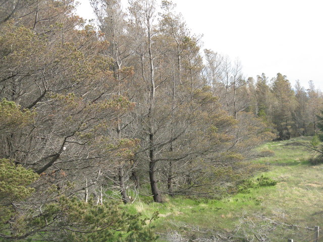
Nature enthusiasts can also spot a variety of wildlife in the area, including red deer, golden eagles, and various species of birds. The hill/mountain serves as an important habitat for these creatures, contributing to the overall biodiversity of the region.
In conclusion, Cnoc a' Bhuntata is a magnificent hill/mountain in Ross-shire, Scotland, offering visitors an opportunity to immerse themselves in the natural beauty of the Torridon Hills while appreciating the historical significance of potato cultivation in the area.
If you have any feedback on the listing, please let us know in the comments section below.
Cnoc a' Bhuntata Images
Images are sourced within 2km of 58.013808/-6.7340264 or Grid Reference NB2012. Thanks to Geograph Open Source API. All images are credited.
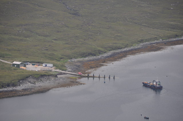
![Seaforth Island [Eilean Shiphoirt] Famous five highjack a prawn fishing boat at Ardvourlie to take us to Seaforth Island with Jonathan de Ferranti, Jim Bloomer, Mat Webster & Michael Earnshaw. This made the 3:30 am start from Skye worthwhile. Sheep are farmed on the island.
Name: Seaforth Island [Eilean Shiphoirt]
Hill number: 1582
Height: 217m / 712ft
Area: 24A: Lewis and Nearby Islands
Class: Ma
Grid ref: NB 20751 11040
Summit feature: embedded rock adjacent to cairn
Drop: 217m
Col: Sea](https://s0.geograph.org.uk/geophotos/03/26/56/3265640_09d8dfe6.jpg)


Cnoc a' Bhuntata is located at Grid Ref: NB2012 (Lat: 58.013808, Lng: -6.7340264)
Unitary Authority: Na h-Eileanan an Iar
Police Authority: Highlands and Islands
What 3 Words
///orchids.flinches.composts. Near Tarbert, Na h-Eileanan Siar
Nearby Locations
Related Wikis

Seaforth Island
Seaforth Island (Scottish Gaelic: Eilean Shìphoirt/Shìophoirt or Mulag) is an uninhabited island in the Outer Hebrides of Scotland. Unlike many other...

Ardvourlie Castle
Ardvourlie Castle is a 19th-century country house on Harris, one of the Western Isles off the north-west coast of Scotland. The house was built beside...

Airidh a' Bhruaich
Airidh a' Bhruaich (Arivruaich - anglicised) is a scattered crofting township in the South Lochs district of the Isle of Lewis in the Outer Hebrides of...

Loch Seaforth
Loch Seaforth (Scottish Gaelic: Loch Shiphoirt or Shìophoirt) is a sea loch in the Outer Hebrides of Scotland. It consists of three distinct sections;...
Nearby Amenities
Located within 500m of 58.013808,-6.7340264Have you been to Cnoc a' Bhuntata?
Leave your review of Cnoc a' Bhuntata below (or comments, questions and feedback).