Cnoc Mòr
Hill, Mountain in Argyllshire
Scotland
Cnoc Mòr
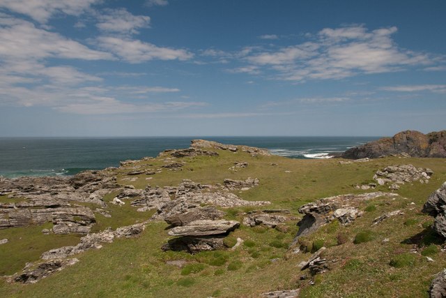
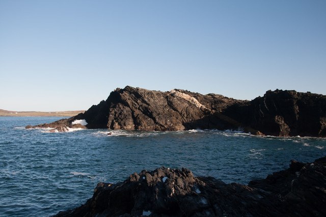
Cnoc Mòr, located in Argyllshire, Scotland, is a magnificent hill/mountain that stands proudly at an elevation of approximately 1,094 feet (333 meters). It is situated in the southern part of the Argyll Forest Park, within the Loch Lomond and The Trossachs National Park. Offering breathtaking panoramic views, Cnoc Mòr is a popular destination for hikers, nature enthusiasts, and adventure seekers.
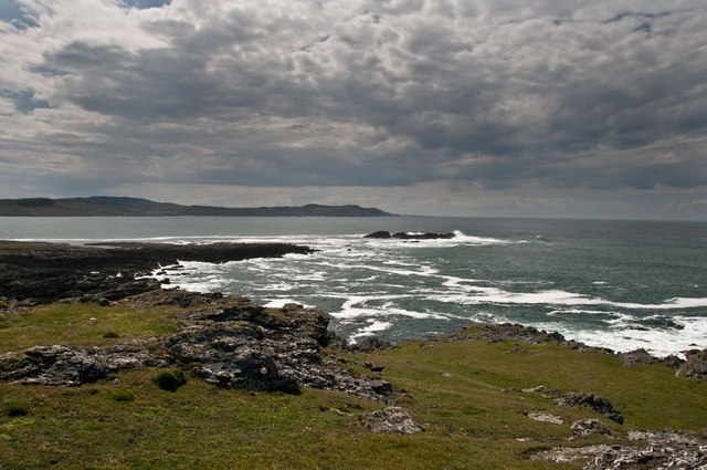
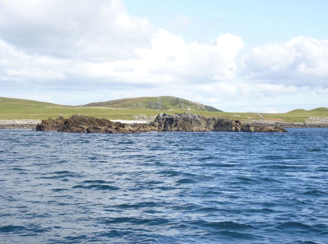
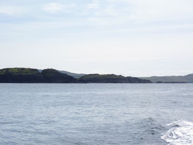
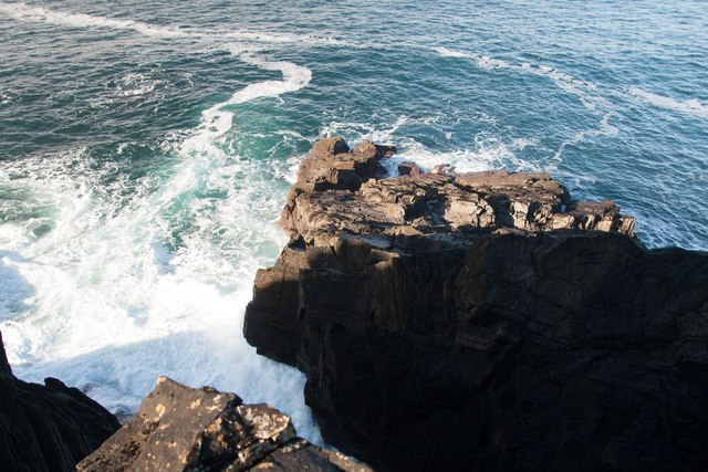
The hill/mountain is characterized by its rugged and rocky terrain, with steep slopes and craggy outcrops adding to its charm. The ascent to the summit can be challenging, but the reward is well worth the effort. From the top, visitors are treated to awe-inspiring vistas of the surrounding landscape, including Loch Eck, Glenbranter Forest, and the nearby Cowal Peninsula.
Cnoc Mòr is home to a diverse range of flora and fauna, with heather, grasses, and bracken covering its lower slopes, while mosses and lichens thrive on the exposed rocks. Birdwatchers can spot various species, such as golden eagles, peregrine falcons, and buzzards soaring in the skies above.
For those seeking further exploration, nearby trails and paths offer opportunities for longer hikes, connecting with other peaks in the area or leading to tranquil lochs nestled amidst the picturesque countryside. The hill/mountain is accessible year-round, although caution is advised during inclement weather conditions due to the exposed nature of the terrain.
In summary, Cnoc Mòr in Argyllshire is a captivating hill/mountain that provides an exhilarating outdoor experience, offering stunning views, rich biodiversity, and a chance to immerse oneself in the rugged beauty of the Scottish Highlands.
If you have any feedback on the listing, please let us know in the comments section below.
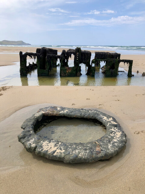
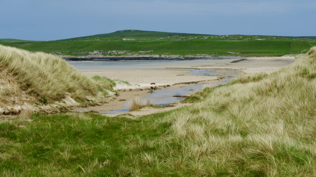
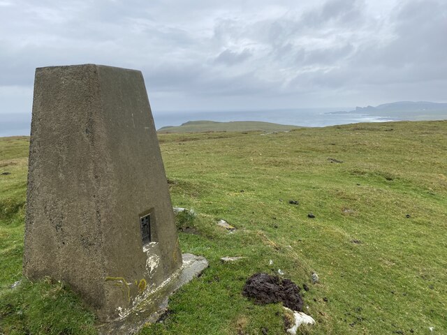
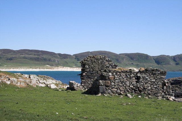
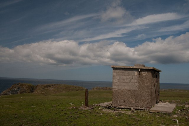
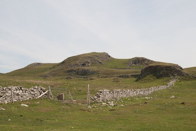
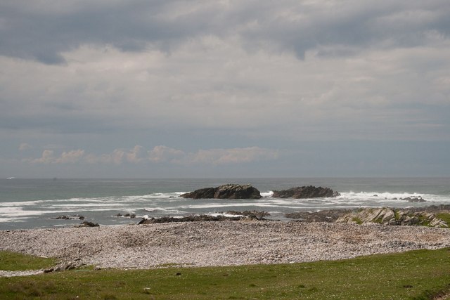
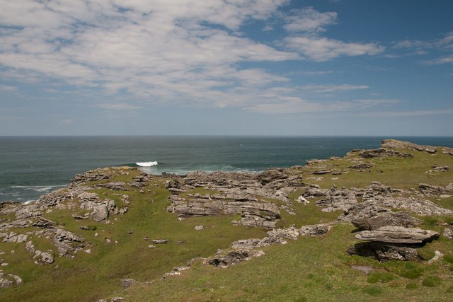
Cnoc Mòr Images
Images are sourced within 2km of 55.796048/-6.4625633 or Grid Reference NR2064. Thanks to Geograph Open Source API. All images are credited.


Cnoc Mòr is located at Grid Ref: NR2064 (Lat: 55.796048, Lng: -6.4625633)
Unitary Authority: Argyll and Bute
Police Authority: Argyll and West Dunbartonshire
What 3 Words
///vine.drooling.traders. Near Port Charlotte, Argyll & Bute
Nearby Locations
Related Wikis

HMS Graph
HMS Graph (pennant number P715) was a German Type VIIC U-boat that the British Royal Navy captured during World War II. Commissioned as U-570 in Nazi Germany...

Kilchoman
Kilchoman ( kil-(K)HOM-ən; Scottish Gaelic: Cill Chomain [kʲʰiːʎ ˈxɔmɛɲ]) is a small settlement and large parish on the Scottish island of Islay, within...

Kilchoman distillery
Kilchoman distillery (pronounced Kil-ho-man) is a distillery that produces single malt Scotch whisky on Islay, an island of the Inner Hebrides. Kilchoman...

Loch Gorm Castle
Loch Gorm Castle is a ruined castle located on Eilean Mòr (big island) on Loch Gorm, Islay, Scotland. It was once a stronghold of Clan Macdonald. The castle...

RAF Kilchiaran
RAF Kilchiaran was a Royal Air Force radar station situated on the Isle of Islay in Scotland. It was originally active from 1940-1945. In 1954 the base...

Rinns of Islay
The Rinns of Islay (Scottish Gaelic: Na Roinn Ìleach; alternative English spelling Rhinns of Islay) is an area on the west of the island of Islay in the...
Bruichladdich distillery
Bruichladdich distillery ( bruukh-LAD-ee; Scottish Gaelic: [pɾuə'xl̪ˠat̪ɪç]) is a distillery on the Rhinns of the isle of Islay in Scotland. The distillery...

Battle of Traigh Ghruinneart
The Battle of Traigh Ghruinneart or in Scottish Gaelic Blàr Tràigh Ghruineart or sometimes called the Battle of Gruinart Strand was a Scottish clan battle...
Related Videos

Beach walking on Kilchoman Beach, Machir Bay, Isle of Islay
A simple walk along Kilchoman Beach in Machir Bay on the west coast of Islay. Waves rolling into the bay and on to the beach.

Military Cemetery At Kilchoman On Visit To Island Of Islay Inner Hebrides Scotland
Tour Scotland travel video clip, with Scottish music, of the military cemetery at Kilchoman, on ancestry visit to Island of Islay, Inner ...
Evening and Sunset at Saligo Bay, Isle of Islay, Scotland
An evening at Saligo Bay on the west of the Isle of Islay in Scotland. After a beautiful sunny day we drive from Kilchoman to Saligo ...

Drone footage of a UFO what looks like a flying jellyfish. Look close up. Was moving like its alive
Filmed 2018 and 2022 Atmospheric Jellyfish UFO spotted Machir Bay Islay Scotland 2018 drone footage. Spotted again Cherhill ...
Nearby Amenities
Located within 500m of 55.796048,-6.4625633Have you been to Cnoc Mòr?
Leave your review of Cnoc Mòr below (or comments, questions and feedback).