Beinn a' Mhuil

Hill, Mountain in Ross-shire

Scotland

Beinn a' Mhuil

Jetty on Loch Seaforth There are power lines running down to this hut and jetty, and there is a satellite dish as well. I have no idea what sort of industry goes on here by the side of Loch Seaforth, so I have just tagged it as Industry. (The jetty is more active in <a href="https://www.geograph.org.uk/photo/2499158">NB2112 : Slipway & Jetty Loch Seaforth</a>.) The land on the other side of the Loch is in the square as well. All the rock here is Lewisian Gneiss - a particularly dark specimen lies split in the foreground.
Jetty on Loch Seaforth Credit: Neville Goodman

Beinn a' Mhuil is a prominent hill located in Ross-shire, Scotland. It is part of the Wester Ross region and lies within the Scottish Highlands. With an elevation of approximately 862 meters (2,828 feet), Beinn a' Mhuil offers breathtaking panoramic views of the surrounding landscape.

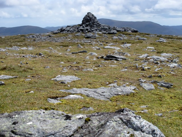
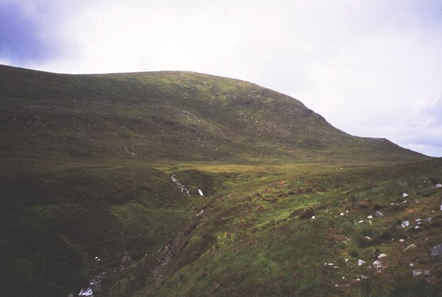
The hill is known for its rugged terrain, characterized by steep slopes and rocky outcrops. It is composed mainly of Torridonian sandstone, a type of sedimentary rock that gives the hill its distinct reddish-brown color. The summit of Beinn a' Mhuil is marked by a large cairn, which serves as a reference point for hikers and climbers.

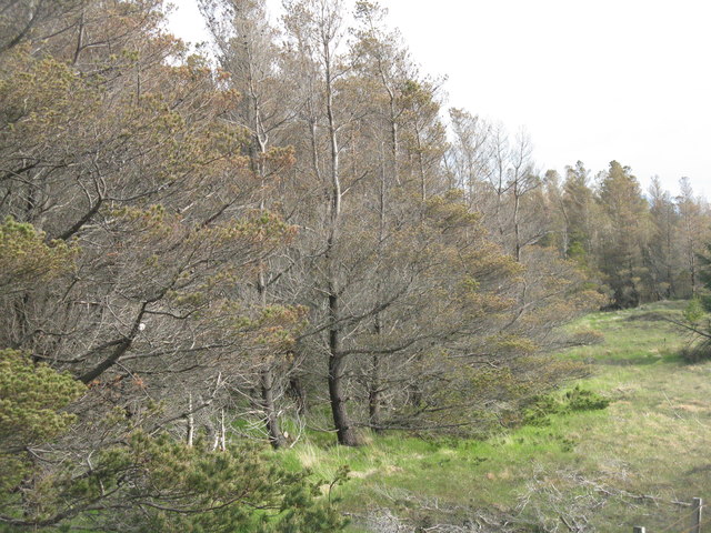
The hill is a popular destination for outdoor enthusiasts, offering a variety of activities such as hiking, mountaineering, and birdwatching. The surrounding area is home to a diverse range of flora and fauna, including heather, pine forests, and various species of birds such as golden eagles and ptarmigans.

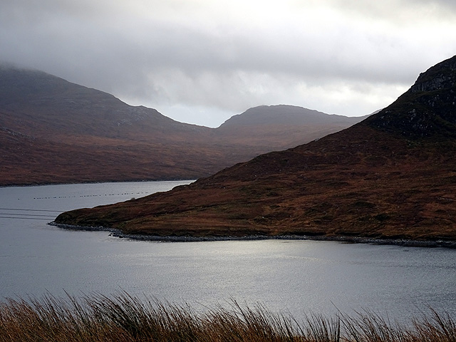
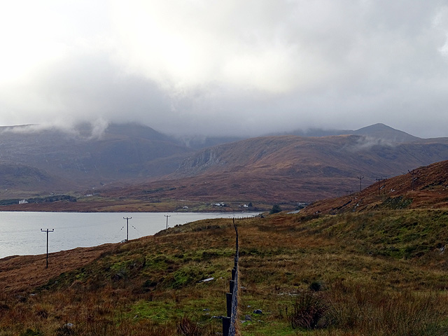
The ascent to the summit of Beinn a' Mhuil can be challenging, especially in adverse weather conditions. However, for those who persevere, the reward is unparalleled views of the surrounding mountains, lochs, and glens. On clear days, it is even possible to see as far as the Isle of Skye and the Outer Hebrides.

Overall, Beinn a' Mhuil offers a memorable and rewarding experience for nature lovers and outdoor enthusiasts, showcasing the raw beauty and grandeur of the Scottish Highlands.

If you have any feedback on the listing, please let us know in the comments section below.

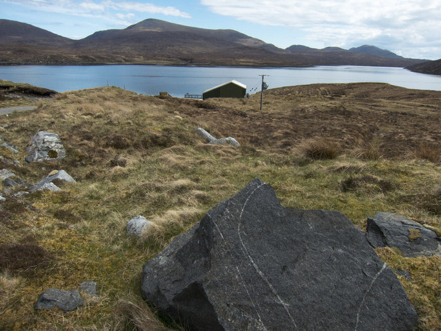
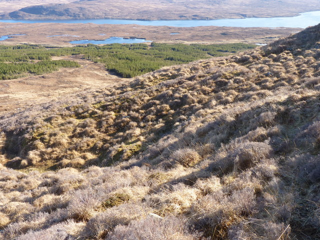
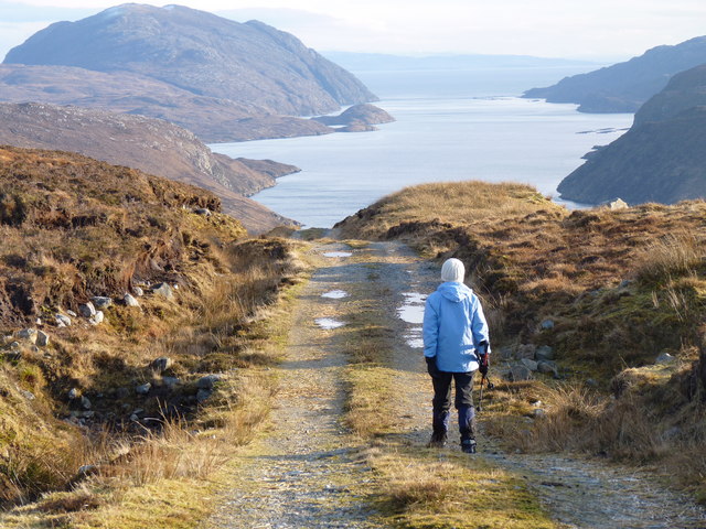
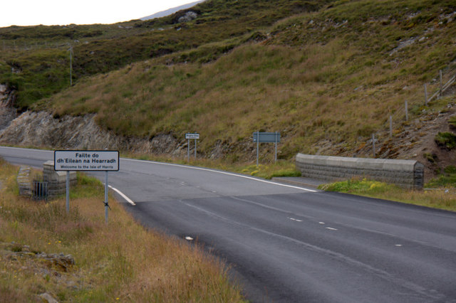
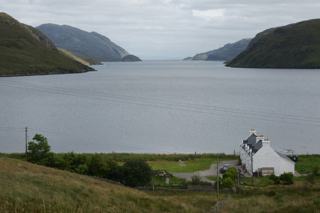
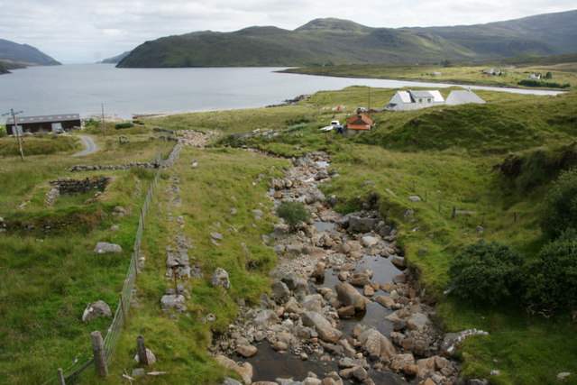
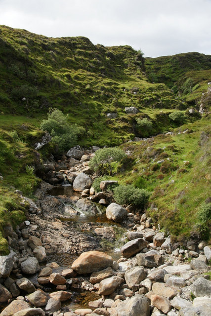
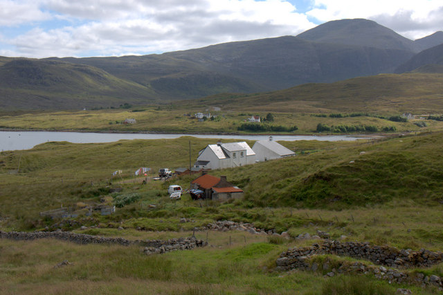
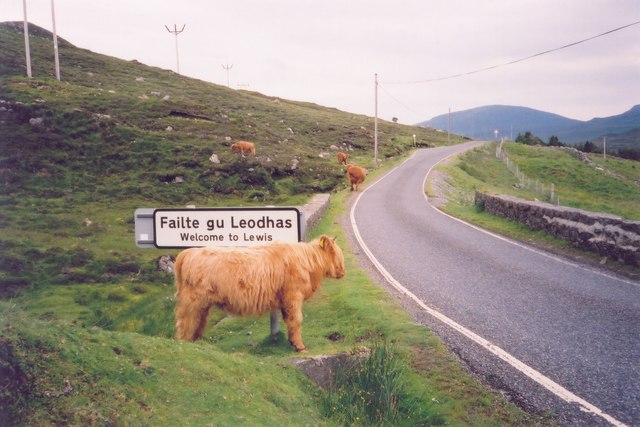
Beinn a' Mhuil Images

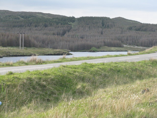
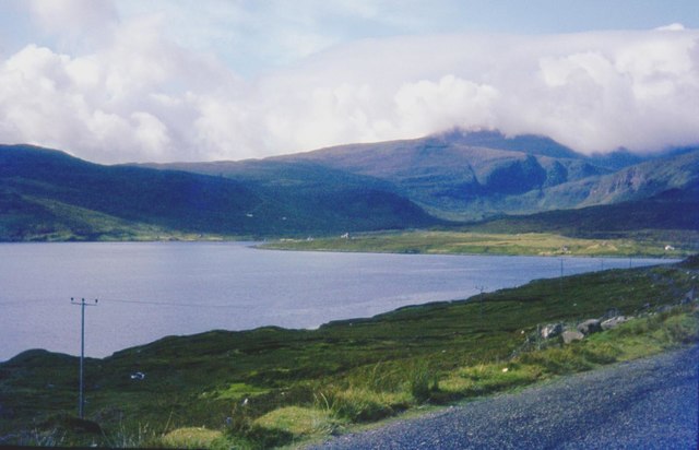
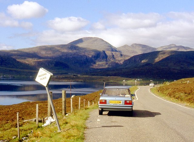
Images are sourced within 2km of 58.023255/-6.7530109 or Grid Reference NB1913. Thanks to Geograph Open Source API. All images are credited.

Jetty on Loch Seaforth There are power lines running down to this hut and jetty, and there is a satellite dish as well. I have no idea what sort of industry goes on here by the side of Loch Seaforth, so I have just tagged it as Industry. (The jetty is more active in <a href="https://www.geograph.org.uk/photo/2499158">NB2112 : Slipway & Jetty Loch Seaforth</a>.) The land on the other side of the Loch is in the square as well. All the rock here is Lewisian Gneiss - a particularly dark specimen lies split in the foreground.
Jetty on Loch Seaforth
There are power lines running down to this hut and jetty, and there is a satellite dish as well. I have no idea what sort of industry goes on here by the side of Loch Seaforth, so I have just tagged it as Industry. (The jetty is more active in NB2112 : Slipway & Jetty Loch Seaforth.) The land on the other side of the Loch is in the square as well. All the rock here is Lewisian Gneiss - a particularly dark specimen lies split in the foreground.
Moorland on the side of Beinn a' Mhuil with Loch Seaforth in the distance
The Langabhat Track with Loch Seaforth beyond
Welcome to the Isle of Harris The slightly random border between the Isle of Lewis (formerly in the county of Ross & Cromarty) and the Isle of Harris (formerly in Inverness-shire).
Welcome to the Isle of Harris
The slightly random border between the Isle of Lewis (formerly in the county of Ross & Cromarty) and the Isle of Harris (formerly in Inverness-shire).
View down Loch Seaforth (Loch Siophort) from Mulhagery
Abhainn a' Mhuil at Mulhagery On the left is Lewis and on the right is Harris.
Abhainn a' Mhuil at Mulhagery
On the left is Lewis and on the right is Harris.
Abhainn a' Mhuil at Mulhagery Looking upstream along the burn that forms the boundary between Harris and Lewis.
Abhainn a' Mhuil at Mulhagery
Looking upstream along the burn that forms the boundary between Harris and Lewis.
Houses at Mulhagery Looking towards An Cliseam.
Houses at Mulhagery
Looking towards An Cliseam.
Liuthaid Summit, Lewis From road via good track then up steep east slope, heavy shower with hail. In group with Jonathan de Ferranti, Jim Bloomer & Mat Webster. Then onto Cearnabhal.

Name: Liuthaid
Hill number: 1564
Height: 492m / 1614ft
Area: 24B: Harris and Nearby Islands
Class: Ma,4
Grid ref: NB 17537 13627
Summit feature: cairn
Drop: 307m
Col: 185m  NB156115
Liuthaid Summit, Lewis
From road via good track then up steep east slope, heavy shower with hail. In group with Jonathan de Ferranti, Jim Bloomer & Mat Webster. Then onto Cearnabhal. Name: Liuthaid Hill number: 1564 Height: 492m / 1614ft Area: 24B: Harris and Nearby Islands Class: Ma,4 Grid ref: NB 17537 13627 Summit feature: cairn Drop: 307m Col: 185m NB156115
Beinn a' Mhuil After Kearnaval with Jim Bloomer and Jonathan de Ferranti. This is a fantastic view point with Seaford Island to the south east.


Name: Beinn a' Mhuil
Hill number: 4937
Height: 370m / 1214ft
Area: 24A: Lewis and Nearby Islands
Class: Hu
Grid ref: NB 19474 13653
Summit feature: cairn
Drop: 117m
Col: 253m  NB187140
Beinn a' Mhuil
After Kearnaval with Jim Bloomer and Jonathan de Ferranti. This is a fantastic view point with Seaford Island to the south east. Name: Beinn a' Mhuil Hill number: 4937 Height: 370m / 1214ft Area: 24A: Lewis and Nearby Islands Class: Hu Grid ref: NB 19474 13653 Summit feature: cairn Drop: 117m Col: 253m NB187140
A view over Loch Seaforth/Loch Shiphoirt Eilean Shìphoirt dominates the right of the view.
A view over Loch Seaforth/Loch Shiphoirt
Eilean Shìphoirt dominates the right of the view.
A fence line above Aline Loch Seaforth/Loch Shiphoirt in view. The A859 road is visible on the right.
A fence line above Aline
Loch Seaforth/Loch Shiphoirt in view. The A859 road is visible on the right.
Dying forest in the Isle of Lewis Many conifers in plantations on the island were showing signs of distress - discolouration and defoliation. Not sure of the cause, but there are some new forest pathogens becoming more widespread. These were on the A859 Stornoway- Tarbert road.
Dying forest in the Isle of Lewis
Many conifers in plantations on the island were showing signs of distress - discolouration and defoliation. Not sure of the cause, but there are some new forest pathogens becoming more widespread. These were on the A859 Stornoway- Tarbert road.
Loch Cleit na Stiuire With a large patch of dying conifers beyond. The road is the A859 Stornoway/ Tarbert road.
Loch Cleit na Stiuire
With a large patch of dying conifers beyond. The road is the A859 Stornoway/ Tarbert road.
Roadside moorland at Aline Bowglass is the small settlement and Clisham in cloud is the highest point in the Outer Hebrides.
Roadside moorland at Aline
Bowglass is the small settlement and Clisham in cloud is the highest point in the Outer Hebrides.
A859 old road at Aline
Liuthaid The Abhainn a'Mhuil starts its gorge below the 492m high hill of Liuthaid.
Liuthaid
The Abhainn a'Mhuil starts its gorge below the 492m high hill of Liuthaid.
Lewis-Harris "border" The (historical) Lewis-Harris border at the bridge where Abhainn a' Mhuil flows into Loch Seaforth.
Lewis-Harris "border"
The (historical) Lewis-Harris border at the bridge where Abhainn a' Mhuil flows into Loch Seaforth.
Show me another place!

Beinn a' Mhuil is located at Grid Ref: NB1913 (Lat: 58.023255, Lng: -6.7530109)

Unitary Authority: Na h-Eileanan an Iar

Police Authority: Highlands and Islands

What 3 Words

///forge.sneezed.encoder. Near Tarbert, Na h-Eileanan Siar

Nearby Locations

Beinn a' Mhuil

Related Wikis

Seaforth Island

Seaforth Island (Scottish Gaelic: Eilean Shìphoirt/Shìophoirt or Mulag) is an uninhabited island in the Outer Hebrides of Scotland. Unlike many other...

Ardvourlie Castle

Ardvourlie Castle is a 19th-century country house on Harris, one of the Western Isles off the north-west coast of Scotland. The house was built beside...

Airidh a' Bhruaich

Airidh a' Bhruaich (Arivruaich - anglicised) is a scattered crofting township in the South Lochs district of the Isle of Lewis in the Outer Hebrides of...

Loch Seaforth

Loch Seaforth (Scottish Gaelic: Loch Shiphoirt or Shìophoirt) is a sea loch in the Outer Hebrides of Scotland. It consists of three distinct sections;...

Nearby Amenities

Located within 500m of 58.023255,-6.7530109
Beinn a' Mhuil
Ele: 370
Natural: peak
Source: OS7
Lat/Long: 58.0232963/-6.7531354
The data included in this document is from www.openstreetmap.org. The data is made available under ODbL.

Have you been to Beinn a' Mhuil?

Leave your review of Beinn a' Mhuil below (or comments, questions and feedback).