Hensingham

Settlement in Cumberland Copeland

England

Hensingham

B5345 Low Road at Cemetery Lodge
B5345 Low Road at Cemetery Lodge Credit: Colin Pyle

Hensingham is a small village located in the county of Cumberland, in the northwest of England. Situated approximately 2 miles from the town of Whitehaven, Hensingham is a rural community with a population of around 4,000 residents.

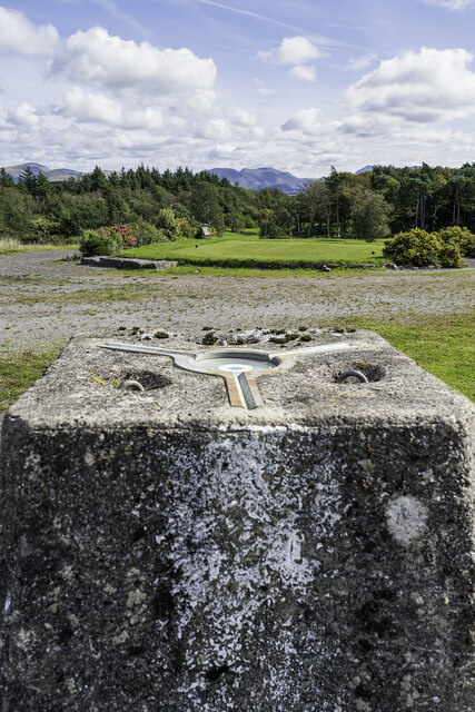
The village is known for its picturesque countryside, characterized by rolling hills and fields, making it an ideal location for outdoor activities such as hiking and cycling. The area is dotted with traditional stone houses and farms, giving it a charming and quaint atmosphere.

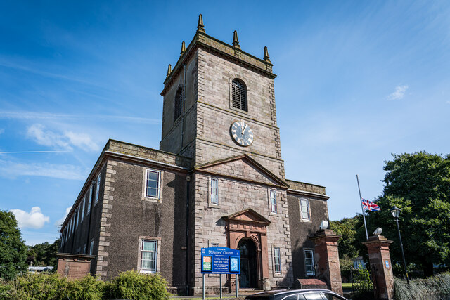
Although small in size, Hensingham boasts a range of amenities and services for its residents. These include a primary school, a community center, a post office, and a few local shops. The village is also home to a historic church, St. John's, which dates back to the 12th century and is a significant architectural landmark in the area.

Hensingham benefits from its proximity to the town of Whitehaven, where residents have access to a wider range of facilities, including secondary schools, supermarkets, and leisure centers. Whitehaven also provides employment opportunities for many residents of Hensingham, with its thriving tourism industry and various industries such as healthcare and engineering.

Overall, Hensingham offers a peaceful and close-knit community in a beautiful rural setting, while still providing easy access to the amenities and opportunities of nearby Whitehaven.

If you have any feedback on the listing, please let us know in the comments section below.
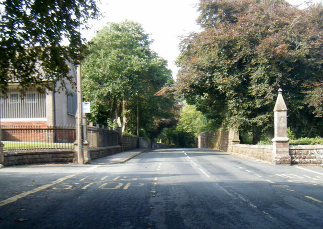
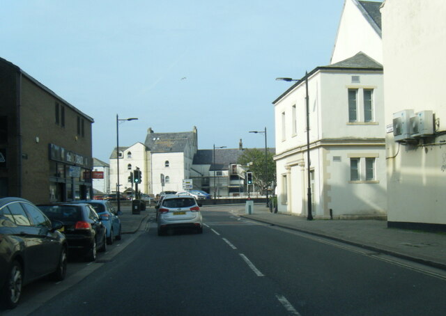
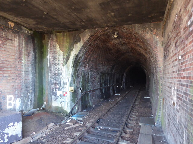
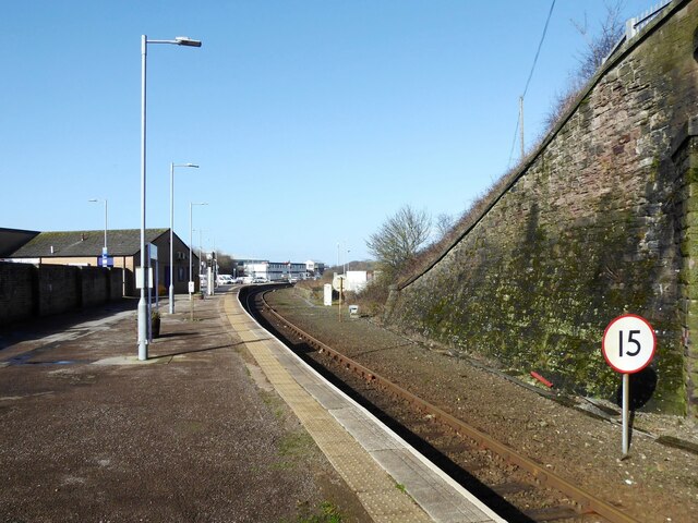
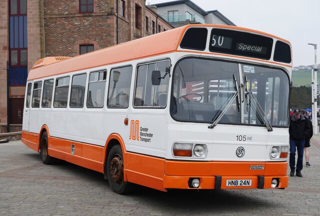
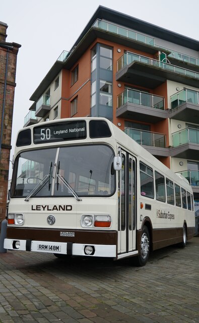
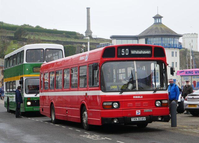
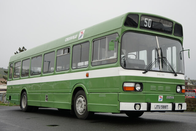
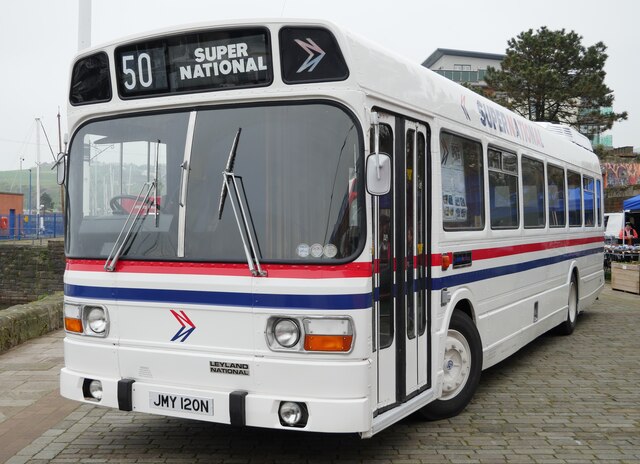
Hensingham Images

Images are sourced within 2km of 54.538803/-3.569564 or Grid Reference NX9817. Thanks to Geograph Open Source API. All images are credited.

B5345 Low Road at Cemetery Lodge
Swingpump Lane, Whitehaven
Whitehaven Tunnel The north entrance of Whitehaven Tunnel; the end of the platform ramp of Platform 2 of Whitehaven Station (photograph <a href="https://www.geograph.org.uk/photo/7109238">NX9718 : Platform 2, Whitehaven Station</a>) is visible in the right foreground (see also photographs <a href="https://www.geograph.org.uk/photo/2322384">NX9718 : Whitehaven Tunnel</a> and <a href="https://www.geograph.org.uk/photo/6862853">NX9718 : Air Shaft No.5, Whitehaven Tunnel</a>).
The small antenna visible at the crown of the brick arch is to permit two way communication with trains in the tunnel.
The England Coast Path and National Cycle Route 72 pass over the flat roofed section of the tunnel in the foreground.
Whitehaven Tunnel
The north entrance of Whitehaven Tunnel; the end of the platform ramp of Platform 2 of Whitehaven Station (photograph NX9718 : Platform 2, Whitehaven Station) is visible in the right foreground (see also photographs NX9718 : Whitehaven Tunnel and NX9718 : Air Shaft No.5, Whitehaven Tunnel). The small antenna visible at the crown of the brick arch is to permit two way communication with trains in the tunnel. The England Coast Path and National Cycle Route 72 pass over the flat roofed section of the tunnel in the foreground.
Platform 2, Whitehaven Station Platform 2 at Whitehaven Station, formerly known as Whitehaven Bransty Station to distinguish it from Whitehaven Corkickle Station at the other end of Whitehaven Tunnel, the entrance of which is directly behind the photographer (see <a href="https://www.geograph.org.uk/photo/7102076">NX9718 : Whitehaven Tunnel</a>). 
The 15 sign denotes a speed restriction of 15 miles per hour for down (northbound) trains through the sharply curved station platform.
Platform 2, Whitehaven Station
Platform 2 at Whitehaven Station, formerly known as Whitehaven Bransty Station to distinguish it from Whitehaven Corkickle Station at the other end of Whitehaven Tunnel, the entrance of which is directly behind the photographer (see NX9718 : Whitehaven Tunnel). The 15 sign denotes a speed restriction of 15 miles per hour for down (northbound) trains through the sharply curved station platform.
Leyland Olympian on Strand Street, Whitehaven An Olympian in Northumbria livery and a familiar sight on the coast on the other side of the country in times gone by.

This photograph was taken during the Coronavirus (COVID-19) pandemic of 2020/21/22.
Leyland Olympian on Strand Street, Whitehaven
An Olympian in Northumbria livery and a familiar sight on the coast on the other side of the country in times gone by. This photograph was taken during the Coronavirus (COVID-19) pandemic of 2020/21/22.
Greater Manchester PTE Leyland National at Whitehaven Harbour Dating from 1975 and owned by the SELNEC Preservation Society.

This photograph was taken during the Coronavirus (COVID-19) pandemic of 2020/21/22.
Greater Manchester PTE Leyland National at Whitehaven Harbour
Dating from 1975 and owned by the SELNEC Preservation Society. This photograph was taken during the Coronavirus (COVID-19) pandemic of 2020/21/22.
'Best Bus Around' on West Strand, Whitehaven A Leyland National 2 on West Strand near Whitehaven Harbour resplendent in Strathtay Scottish livery.

This photograph was taken during the Coronavirus (COVID-19) pandemic of 2020/21/22.
'Best Bus Around' on West Strand, Whitehaven
A Leyland National 2 on West Strand near Whitehaven Harbour resplendent in Strathtay Scottish livery. This photograph was taken during the Coronavirus (COVID-19) pandemic of 2020/21/22.
Suburban Express at Whitehaven Harbour Dating from 1973, the Suburban Express diverged away from the standard Leyland National design, with a high flat floor front to rear.  Out of the two demonstrators produced, this is the sole survivor.

This photograph was taken during the Coronavirus (COVID-19) pandemic of 2020/21/22.
Suburban Express at Whitehaven Harbour
Dating from 1973, the Suburban Express diverged away from the standard Leyland National design, with a high flat floor front to rear. Out of the two demonstrators produced, this is the sole survivor. This photograph was taken during the Coronavirus (COVID-19) pandemic of 2020/21/22.
A vintage pair of buses on West Strand, Whitehaven A Leyland National Mk 1 (B) dating from 1979 and pictured here in Ribble livery. 
 This vehicle was running timetabled trips to the former Leyland National factory at Lillyhall - rather nippy on the gradients heading up through Whitehaven and Distington!  A Volvo Olympian in Cleveland Transit livery can be noted to the rear.

This photograph was taken during the Coronavirus (COVID-19) pandemic of 2020/21/22.
A vintage pair of buses on West Strand, Whitehaven
A Leyland National Mk 1 (B) dating from 1979 and pictured here in Ribble livery. This vehicle was running timetabled trips to the former Leyland National factory at Lillyhall - rather nippy on the gradients heading up through Whitehaven and Distington! A Volvo Olympian in Cleveland Transit livery can be noted to the rear. This photograph was taken during the Coronavirus (COVID-19) pandemic of 2020/21/22.
Leyland National Mk 1 (B) by Whitehaven Harbour Parked up by the harbour, I travelled on this vehicle the previous day for a tour to the former Leyland National factory at Lillyhall.

This photograph was taken during the Coronavirus (COVID-19) pandemic of 2020/21/22.
Leyland National Mk 1 (B) by Whitehaven Harbour
Parked up by the harbour, I travelled on this vehicle the previous day for a tour to the former Leyland National factory at Lillyhall. This photograph was taken during the Coronavirus (COVID-19) pandemic of 2020/21/22.
Leyland National 'Super National' Entering service in 1975, this was one of two Super Nationals booked for the Leyland National 50 event.  The executive interior of the vehicle included a toilet compartment, cloakroom, servery, aircraft style seats with selectable audio, TV and video, radio telephone, on board mains generator and a Webasto heater.  The vehicle was used on corporate hire work in Britain as well as mainland Europe, with famous passengers including Dolly Parton and Fleetwood Mac.

This photograph was taken during the Coronavirus (COVID-19) pandemic of 2020/21/22.
Leyland National 'Super National'
Entering service in 1975, this was one of two Super Nationals booked for the Leyland National 50 event. The executive interior of the vehicle included a toilet compartment, cloakroom, servery, aircraft style seats with selectable audio, TV and video, radio telephone, on board mains generator and a Webasto heater. The vehicle was used on corporate hire work in Britain as well as mainland Europe, with famous passengers including Dolly Parton and Fleetwood Mac. This photograph was taken during the Coronavirus (COVID-19) pandemic of 2020/21/22.
Suburban Express display A close up of the restoration display in the Leyland National Suburban Express at Whitehaven Harbourside.

This photograph was taken during the Coronavirus (COVID-19) pandemic of 2020/21/22.
Suburban Express display
A close up of the restoration display in the Leyland National Suburban Express at Whitehaven Harbourside. This photograph was taken during the Coronavirus (COVID-19) pandemic of 2020/21/22.
Duke Street, Whitehaven An 1980s photo showing the coal conveyor(?) to the harbour looming over the town.
Duke Street, Whitehaven
An 1980s photo showing the coal conveyor(?) to the harbour looming over the town.
The Marina View from West Strand
The Marina
View from West Strand
St. Nicholas Church Tower, Whitehaven St Nicholas' Church was originally built in 1693. In 1701 Mildred Warner Gale, grandmother of American President George Washington, was buried in the churchyard. The church was rebuilt in 1883. It consisted of a nave, chancel, side chapel, clerestory and west tower. On 31st August 1971 fire destroyed much of the nave and sanctuary. Rebuilding was initially considered but instead the church tower was fitted out as an auxiliary chapel and the rest demolished.
St. Nicholas Church Tower, Whitehaven
St Nicholas' Church was originally built in 1693. In 1701 Mildred Warner Gale, grandmother of American President George Washington, was buried in the churchyard. The church was rebuilt in 1883. It consisted of a nave, chancel, side chapel, clerestory and west tower. On 31st August 1971 fire destroyed much of the nave and sanctuary. Rebuilding was initially considered but instead the church tower was fitted out as an auxiliary chapel and the rest demolished.
St. James Church, Whitehaven Intersected Station <span class="nowrap"><a title="https://trigpointing.uk/trig/10770" rel="nofollow ugc noopener" href="https://trigpointing.uk/trig/10770">Link</a><img style="margin-left:2px;" alt="External link" title="External link - shift click to open in new window" src="https://s1.geograph.org.uk/img/external.png" width="10" height="10"/></span>

It stands in an elevated position overlooking the town. The church was built in 1752–53 at a cost of £3,400 (equivalent to £550,000 in 2021)

<span class="nowrap"><a title="https://en.wikipedia.org/wiki/St_James%27_Church,_Whitehaven" rel="nofollow ugc noopener" href="https://en.wikipedia.org/wiki/St_James%27_Church,_Whitehaven">Link</a><img style="margin-left:2px;" alt="External link" title="External link - shift click to open in new window" src="https://s1.geograph.org.uk/img/external.png" width="10" height="10"/></span>
St. James Church, Whitehaven
Intersected Station LinkExternal link It stands in an elevated position overlooking the town. The church was built in 1752–53 at a cost of £3,400 (equivalent to £550,000 in 2021) LinkExternal link
Standing Stones Trigpoint and Golf Course, Whitehaven Easy road side Trig <span class="nowrap"><a title="http://www.trigpointinguk.com/trigs/trig-details.php?t=6154" rel="nofollow ugc noopener" href="http://www.trigpointinguk.com/trigs/trig-details.php?t=6154">Link</a><img style="margin-left:2px;" alt="External link" title="External link - shift click to open in new window" src="https://s1.geograph.org.uk/img/external.png" width="10" height="10"/></span> near the golf course
Standing Stones Trigpoint and Golf Course, Whitehaven
Easy road side Trig LinkExternal link near the golf course
Leyland National on Strand Street, Whitehaven Formerly Cumbrian Motor Services 353, this Leyland National is celebrating its 50th birthday in 2023 and has been restored by Workington Transport Heritage Trust.  The vehicle is seen here on a free passenger service during the first morning of the Leyland National 51 event.
Leyland National on Strand Street, Whitehaven
Formerly Cumbrian Motor Services 353, this Leyland National is celebrating its 50th birthday in 2023 and has been restored by Workington Transport Heritage Trust. The vehicle is seen here on a free passenger service during the first morning of the Leyland National 51 event.
Show me another place!

Hensingham is located at Grid Ref: NX9817 (Lat: 54.538803, Lng: -3.569564)

Administrative County: Cumbria

District: Copeland

Police Authority: Cumbria

What 3 Words

///relax.holly.workflow. Near Whitehaven, Cumbria

Related Wikis

Corkickle

Corkickle is a suburb of Whitehaven in Cumbria, England. It is served by Corkickle railway station. == References ==

Hensingham

Hensingham is a suburb of Whitehaven and former civil parish, now in the parish of Whitehaven, in the Cumberland district, in the ceremonial county of...

The Whitehaven Academy

The Whitehaven Academy (formerly Whitehaven School) is a comprehensive co-educational secondary school with academy status, located in Whitehaven, in west...

Corkickle railway station

Corkickle railway station is a railway station serving the suburb of Corkickle near Whitehaven in Cumbria, England. It is on the Cumbrian Coast line, which...

Related Videos

Whitehaven Harbour Walk, English Countryside 4K

https://www.buymeacoffee.com/Daveswalks All support is hugely appreciated and it helps me keep the channel going! No talking ...

Lake District UK Whitehaven ,Cumbria Harbour #whitehaven #cumbria #lakedistrict #uk

Whitehaven ,Cumbria Harbour #whitehaven #cumbria #lakedistrict #uk #travel #desi #desi #gimbal #tv #tranding #viral #4k ...

Whitehaven Walking the coastal path on our Motorhome adventure.

Walking from St Bees to Whitehaven via the Coastal Path. We had stopped our motorhome Bryan on Seacote park at St bees.

Nearby Amenities

Located within 500m of 54.538803,-3.569564
Hensingham
Place: suburb
Source: npe
Lat/Long: 54.5356252/-3.5656653
Post Box
Operator: Royal Mail
Operator Wikidata: Q638098
Post Box Type: wall
Ref: CA28 12
Royal Cypher: GVIR
Lat/Long: 54.5361258/-3.5683308
Bus Stop
Hensingham Road
Bus: yes
Local Ref: BY
Naptan AtcoCode: 090050301454
Naptan Bearing: W
Naptan CommonName: Hensingham Road
Naptan Indicator: by
Naptan Landmark: Hensingham road spur
Naptan NaptanCode: cumawmdp
Naptan Street: B5295
Naptan Verified: no
Public Transport: platform
Source: naptan_import
Lat/Long: 54.5381956/-3.5715187
Bus Stop
The Square (S bound)
Bus: yes
Local Ref: BY
Naptan AtcoCode: 090050301476
Naptan Bearing: S
Naptan CommonName: The Square (S bound)
Naptan Indicator: by
Naptan Landmark: junction with Cartgate Road
Naptan NaptanCode: cumawmdt
Naptan Street: Egremont Road
Naptan Verified: no
Public Transport: platform
Source: naptan_import
Lat/Long: 54.5356945/-3.5682385
Bus Stop
Lowther Arms
Bus: yes
Local Ref: BY
Naptan AtcoCode: 090050301510
Naptan Bearing: W
Naptan BusStopType: CUS
Naptan CommonName: Lowther Arms
Naptan Indicator: by
Naptan Landmark: Lowther Arms PH
Naptan NaptanCode: cumawmgj
Naptan Street: Hensingham Road
Naptan Verified: no
Public Transport: platform
Source: naptan_import
Lat/Long: 54.5376163/-3.5704453
Bus Stop
Richmond Road nr The Richmond
Bus: yes
Naptan AtcoCode: 090050301738
Naptan Bearing: S
Naptan BusStopType: CUS
Naptan CommonName: Richmond Road nr The Richmond
Naptan Indicator: near
Naptan Landmark: junction with Muncaster Road
Naptan NaptanCode: cumawmjg
Naptan Street: Richmond Hill Road
Naptan Verified: no
Public Transport: platform
Source: naptan_import
Lat/Long: 54.5377577/-3.5630003
Bus Stop
Ivy Mill
Bus: yes
Naptan AtcoCode: 090050301747
Naptan Bearing: W
Naptan CommonName: Ivy Mill
Naptan Indicator: near
Naptan Landmark: junction with Richmond Hill Road
Naptan NaptanCode: cumawmjw
Naptan Street: Main Street
Naptan Verified: no
Public Transport: platform
Source: naptan_import
Lat/Long: 54.5384185/-3.5633347
Bus Stop
Thornton Road at Springfield Avenue
Bus: yes
Naptan AtcoCode: 090050301752
Naptan Bearing: W
Naptan BusStopType: CUS
Naptan CommonName: Thornton Road at Springfield Avenue
Naptan Indicator: near
Naptan Landmark: junction with Springfield Avenue
Naptan NaptanCode: cumawmpa
Naptan Street: Thornton Road
Naptan Verified: no
Public Transport: platform
Source: naptan_import
Lat/Long: 54.5404861/-3.5681749
Bus Stop
Main Street at Richmond Hill Road
Bus: yes
Naptan AtcoCode: 090050301960
Naptan Bearing: N
Naptan CommonName: Main Street at Richmond Hill Road
Naptan Indicator: opp
Naptan Landmark: junction with Richmond Hill Road
Naptan NaptanCode: cumawmtd
Naptan Street: Main Street
Naptan Verified: no
Public Transport: platform
Source: naptan_import
Lat/Long: 54.5382953/-3.5638246
Bus Stop
The Silk Mill SW bound
Bus: yes
Local Ref: AT
Naptan AtcoCode: 090050301962
Naptan Bearing: S
Naptan CommonName: The Silk Mill SW bound
Naptan Indicator: at
Naptan Landmark: Junction with Thornton Road and fire station
Naptan NaptanCode: cumawmtg
Naptan Street: Main Street
Naptan Verified: no
Public Transport: platform
Source: naptan_import
Lat/Long: 54.539801/-3.5620736
Bus Stop
The Square (N bound)
Bus: yes
Local Ref: AT
Naptan AtcoCode: 090050302001
Naptan Bearing: N
Naptan CommonName: The Square (N bound)
Naptan Indicator: at
Naptan Landmark: car park
Naptan NaptanCode: cumawmtp
Naptan Street: Main Street
Naptan Verified: no
Public Transport: platform
Source: naptan_import
Lat/Long: 54.5365809/-3.5691999
Bus Stop
Loop Road South at Tower Hill
Bus: yes
Naptan AtcoCode: 090050302043
Naptan Bearing: N
Naptan CommonName: Loop Road South at Tower Hill
Naptan Indicator: opp
Naptan Landmark: nos 12 to 13
Naptan NaptanCode: cumawmwd
Naptan Street: A595 Loop Road South
Naptan Verified: no
Public Transport: platform
Source: naptan_import
Lat/Long: 54.5414457/-3.5738696
Bus Stop
Thornton Road at Jericho Road
Bus: yes
Naptan AtcoCode: 090050302086
Naptan Bearing: E
Naptan CommonName: Thornton Road at Jericho Road
Naptan Indicator: opp
Naptan Landmark: Springfield Avenue
Naptan NaptanCode: cumawmwj
Naptan Street: Thornton Road
Naptan Verified: no
Public Transport: platform
Source: naptan_import
Lat/Long: 54.5405005/-3.5677581
Bus Stop
Thornton Road at Granville Close
Bus: yes
Naptan AtcoCode: 090050302138
Naptan Bearing: W
Naptan BusStopType: CUS
Naptan CommonName: Thornton Road at Granville Close
Naptan Indicator: opp
Naptan Landmark: junction with Granville Close
Naptan NaptanCode: cumawpad
Naptan Street: Thornton Road
Naptan Verified: no
Public Transport: platform
Source: naptan_import
Lat/Long: 54.5402051/-3.5634957
Bus Stop
Methodist Church
Bus: yes
Naptan AtcoCode: 090050302325
Naptan Bearing: E
Naptan CommonName: Methodist Church
Naptan Indicator: o/s
Naptan Landmark: Hensingham Methodist Church
Naptan NaptanCode: cumawpap
Naptan Street: Main Street
Naptan Verified: no
Public Transport: platform
Source: naptan_import
Lat/Long: 54.5374097/-3.5662794
Bus Stop
Loop Road South at Springfield Avenue
Bus: yes
Naptan AtcoCode: 090050302640
Naptan Bearing: S
Naptan CommonName: Loop Road South at Springfield Avenue
Naptan Indicator: near
Naptan Landmark: junction with Springfield Avenue
Naptan NaptanCode: cumawpdw
Naptan Street: A595 Loop Road South
Naptan Verified: no
Public Transport: platform
Source: naptan_import
Lat/Long: 54.5418355/-3.5736218
Bus Stop
Cross Lane at Highfields
Bus: yes
Local Ref: AT
Naptan AtcoCode: 090050303126
Naptan Bearing: N
Naptan CommonName: Cross Lane at Highfields
Naptan Indicator: at
Naptan Landmark: junction with Highfields
Naptan NaptanCode: cumawpjw
Naptan Street: Cross Lane
Naptan Verified: no
Public Transport: platform
Source: naptan_import
Lat/Long: 54.5421703/-3.570682
Bus Stop
Cross Lane junction with Highfields
Bus: yes
Naptan AtcoCode: 090050303127
Naptan Bearing: S
Naptan CommonName: Cross Lane junction with Highfields
Naptan Indicator: near
Naptan Landmark: junction with Highfields
Naptan NaptanCode: cumawpma
Naptan Street: Cross Lane
Naptan Verified: no
Public Transport: platform
Source: naptan_import
Lat/Long: 54.5421713/-3.5706048
Bus Stop
Balmoral Road at Windsor Court (N bound)
Bus: yes
Local Ref: AT
Naptan AtcoCode: 090050303128
Naptan Bearing: N
Naptan CommonName: Balmoral Road at Windsor Court (N bound)
Naptan Indicator: at
Naptan Landmark: junction with Windsor Court
Naptan NaptanCode: cumawpmd
Naptan Street: Balmoral Road
Naptan Verified: no
Public Transport: platform
Source: naptan_import
Lat/Long: 54.541464/-3.5662337
Bus Stop
Balmoral Road at Windsor Court (S bound)
Bus: yes
Naptan AtcoCode: 090050303129
Naptan Bearing: S
Naptan CommonName: Balmoral Road at Windsor Court (S bound)
Naptan Indicator: near
Naptan Landmark: junction with Windsor Court
Naptan NaptanCode: cumawpmg
Naptan Street: Balmoral Road
Naptan Verified: no
Public Transport: platform
Source: naptan_import
Lat/Long: 54.5414205/-3.5661238
Bus Stop
Foxhouses Road
Bus: yes
Local Ref: AT
Naptan AtcoCode: 090050303131
Naptan Bearing: S
Naptan CommonName: Foxhouses Road
Naptan Indicator: at
Naptan Landmark: Corner to Bleng Avenue
Naptan NaptanCode: cumawpmp
Naptan Street: Foxhouses Road
Naptan Verified: no
Public Transport: platform
Source: naptan_import
Lat/Long: 54.539241/-3.57683
Bus Stop
Bleng Avenue
Bus: yes
Local Ref: AT
Naptan AtcoCode: 090050303132
Naptan Bearing: S
Naptan CommonName: Bleng Avenue
Naptan Indicator: at
Naptan Landmark: no. 5
Naptan NaptanCode: cumawpmt
Naptan Street: Bleng Avenue
Naptan Verified: no
Public Transport: platform
Source: naptan_import
Lat/Long: 54.538104/-3.5771726
Bus Stop
Square at Holly Terrace
Bus: yes
Naptan AtcoCode: 090050303168
Naptan Bearing: NE
Naptan CommonName: Square at Holly Terrace
Naptan Indicator: o/s
Naptan Landmark: Holly Terrace
Naptan NaptanCode: cumawpwa
Naptan Street: Main Street
Naptan Verified: no
Public Transport: platform
Source: naptan_import
Lat/Long: 54.5368521/-3.5676955
Bus Stop
Snebra Beck (S bound)
Bus: yes
Local Ref: AT
Naptan AtcoCode: 090050304261
Naptan Bearing: S
Naptan CommonName: Snebra Beck (S bound)
Naptan Indicator: at
Naptan Landmark: number 147
Naptan NaptanCode: cumdtagj
Naptan Street: Whinlatter Road
Naptan Verified: no
Public Transport: platform
Source: naptan_import
Lat/Long: 54.5361188/-3.5757049
Turning Circle
Lat/Long: 54.5400454/-3.5688052
Turning Circle
Lat/Long: 54.5387238/-3.5681136
Turning Circle
Lat/Long: 54.5392239/-3.5674129
Turning Circle
Lat/Long: 54.5393449/-3.5697747
Turning Circle
Lat/Long: 54.5382556/-3.5687001
Noexit: yes
Lat/Long: 54.5370005/-3.5745396
Turning Circle
Lat/Long: 54.5421112/-3.5694189
Turning Circle
Lat/Long: 54.5409445/-3.5644398
Traffic Signals
Lat/Long: 54.5397054/-3.5734597
Traffic Signals
Lat/Long: 54.5382148/-3.5723484
Hillcrest
Place: suburb
Lat/Long: 54.5430367/-3.5717985
Mini Roundabout
Direction: clockwise
Lat/Long: 54.5361842/-3.5686105
Fast Food
Cottage Chippy
Lat/Long: 54.5364885/-3.56804
Post Box
Operator: Royal Mail
Operator Wikidata: Q638098
Ref: CA28 148
Lat/Long: 54.5418625/-3.5642856
Post Box
Operator: Royal Mail
Operator Wikidata: Q638098
Ref: CA28 10
Lat/Long: 54.5403809/-3.5737886
Barrier: bollard
Lat/Long: 54.5379025/-3.5723077
Barrier: bollard
Lat/Long: 54.5379897/-3.5723284
Barrier: bollard
Lat/Long: 54.5381762/-3.572396
Barrier: bollard
Lat/Long: 54.5381153/-3.572151
Barrier: bollard
Lat/Long: 54.5381277/-3.5720125
Barrier: bollard
Lat/Long: 54.5395309/-3.5730778
Barrier: bollard
Lat/Long: 54.5396043/-3.5735178
Barrier: bollard
Lat/Long: 54.5395877/-3.5733253
Barrier: bollard
Lat/Long: 54.539722/-3.5733507
Barrier: bollard
Lat/Long: 54.5396721/-3.5733022
Barrier: bollard
Lat/Long: 54.5396753/-3.5734167
Barrier: bollard
Lat/Long: 54.5397127/-3.5731916
Barrier: bollard
Lat/Long: 54.539818/-3.573264
Traffic Signals
Lat/Long: 54.5396191/-3.5733834
Traffic Signals
Lat/Long: 54.5397683/-3.5731762
Traffic Signals
Lat/Long: 54.5394466/-3.5730937
Barrier: bollard
Lat/Long: 54.5394202/-3.5731406
Traffic Signals
Lat/Long: 54.5380956/-3.5720805
Traffic Signals
Lat/Long: 54.5379607/-3.5723776
Barrier: bollard
Bicycle: yes
Foot: yes
Horse: yes
Lat/Long: 54.5402075/-3.5722348
Barrier: bollard
Lat/Long: 54.5401935/-3.5722324
Barrier: bollard
Lat/Long: 54.5402214/-3.5722354
Bewsher Off Licence
Addr City: Hensingham
Addr Housenumber: 18
Addr Postcode: CA28 8PY
Addr Street: Main Street
Shop: convenience
Lat/Long: 54.5365965/-3.5689624
Crossing
Crossing: traffic_signals
Crossing Island: no
Tactile Paving: yes
Lat/Long: 54.5377101/-3.5652741
Shop: convenience
Lat/Long: 54.538312/-3.5624349
Fuel
Lat/Long: 54.5384668/-3.5628694
Noexit: yes
Lat/Long: 54.5371188/-3.5745356
Give Way
Direction: forward
Lat/Long: 54.5381723/-3.5757404
Direction: 240
Generator Method: photovoltaic
Generator Output Electricity: yes
Generator Source: solar
Generator Type: solar_photovoltaic_panel
Location: roof
Power: generator
Lat/Long: 54.5371519/-3.5743329
Direction: SW
Generator Method: photovoltaic
Generator Output Electricity: yes
Generator Source: solar
Generator Type: solar_photovoltaic_panel
Location: roof
Power: generator
Lat/Long: 54.538776/-3.5751518
Direction: SW
Generator Method: photovoltaic
Generator Output Electricity: yes
Generator Source: solar
Generator Type: solar_photovoltaic_panel
Location: roof
Power: generator
Lat/Long: 54.5374698/-3.5734204
Direction: SW
Generator Method: photovoltaic
Generator Output Electricity: yes
Generator Source: solar
Generator Type: solar_photovoltaic_panel
Location: roof
Power: generator
Lat/Long: 54.5372779/-3.5739555
Direction: WSW
Generator Method: photovoltaic
Generator Output Electricity: yes
Generator Source: solar
Generator Type: solar_photovoltaic_panel
Location: roof
Power: generator
Lat/Long: 54.5380644/-3.5765767
Direction: SSE
Generator Method: photovoltaic
Generator Output Electricity: yes
Generator Source: solar
Generator Type: solar_photovoltaic_panel
Location: roof
Power: generator
Lat/Long: 54.5379964/-3.5765526
Direction: SSW
Generator Method: photovoltaic
Generator Output Electricity: yes
Generator Source: solar
Generator Type: solar_photovoltaic_panel
Location: roof
Power: generator
Lat/Long: 54.5387568/-3.576225
Direction: SW
Generator Method: photovoltaic
Generator Output Electricity: yes
Generator Source: solar
Generator Type: solar_photovoltaic_panel
Location: roof
Power: generator
Lat/Long: 54.5395101/-3.576243
Direction: WSW
Generator Method: photovoltaic
Generator Output Electricity: yes
Generator Source: solar
Generator Type: solar_photovoltaic_panel
Location: roof
Power: generator
Lat/Long: 54.5389451/-3.5732401
The data included in this document is from www.openstreetmap.org. The data is made available under ODbL.

Have you been to Hensingham?

Leave your review of Hensingham below (or comments, questions and feedback).