Cnoc Fuar

Hill, Mountain in Inverness-shire

Scotland

Cnoc Fuar

River Lorgill entering Lorgill Bay At this point I am perched on a tiny path, suffering from vertigo, but what a great view.
River Lorgill entering Lorgill Bay Credit: Carol Walker

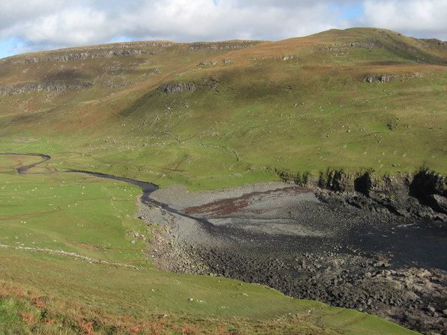
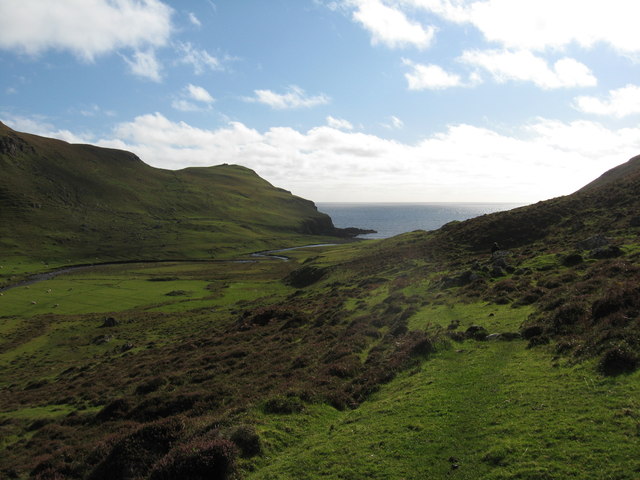
Cnoc Fuar is a prominent hill located in Inverness-shire, a historic county in the Scottish Highlands. Its name, which translates to "Cold Hill" in English, accurately reflects the often chilly and rugged conditions experienced atop the summit.

Standing at an elevation of approximately 365 meters (1,197 feet), Cnoc Fuar is not classified as a mountain but rather as a hill. However, its commanding presence and stunning panoramic views make it a popular destination for hikers and nature enthusiasts.

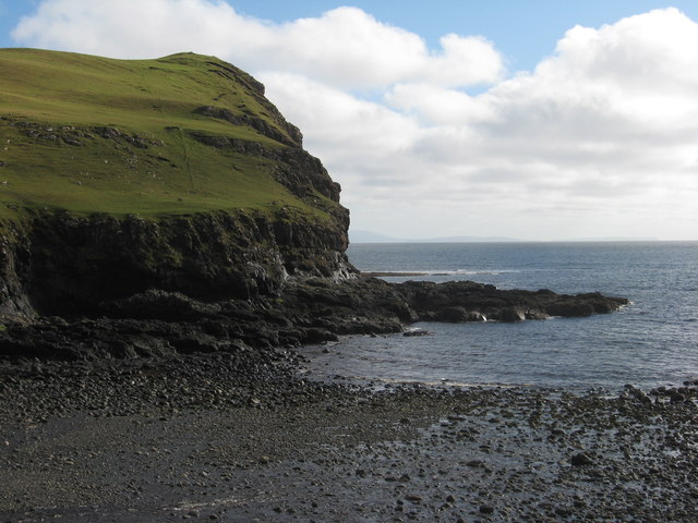
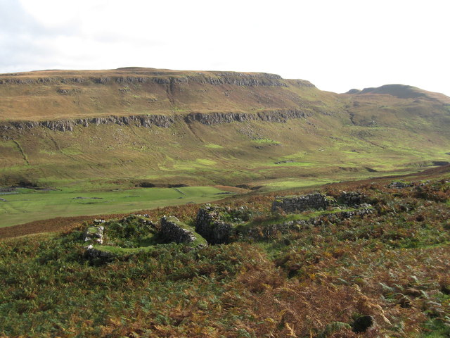
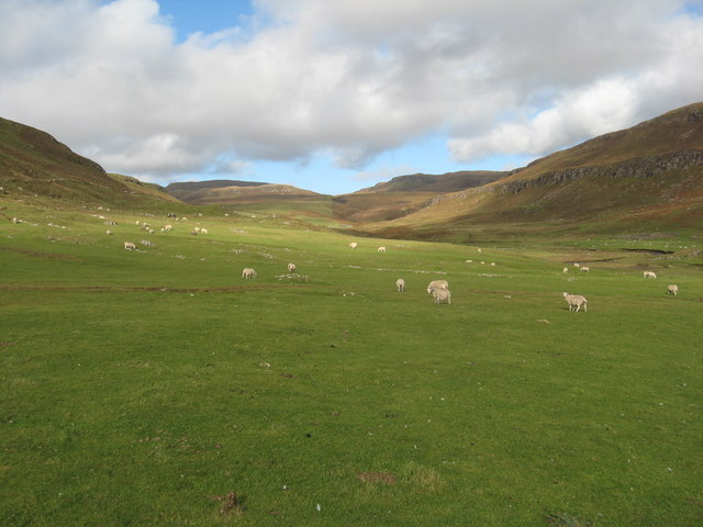
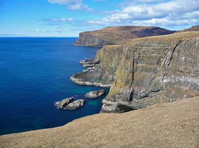
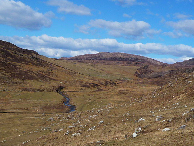
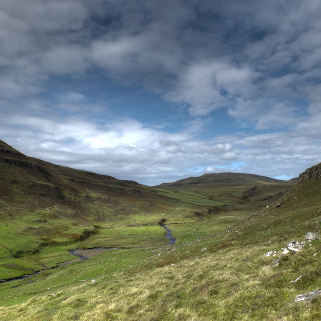
The hill is primarily composed of granite, giving it a distinctive rocky terrain. Its slopes are covered in heather, creating a vibrant purple hue during the summer months. Cnoc Fuar is also adorned with scattered patches of woodland, adding to its natural beauty.

Reaching the summit of Cnoc Fuar requires a moderate level of fitness and hiking experience. There are several paths that lead to the top, with the most popular starting from the village of Foyers. The ascent offers breathtaking vistas of Loch Ness, the famous freshwater loch known for the mythical creature said to reside within its depths.

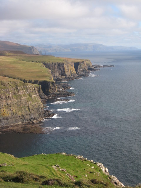
Once at the summit, visitors are rewarded with uninterrupted, sweeping views of the surrounding countryside, including the Great Glen and the Cairngorms National Park in the distance. On clear days, the Ben Nevis, the highest mountain in the British Isles, can also be seen.

Cnoc Fuar provides a captivating outdoor experience for those seeking both natural beauty and a taste of Scotland's rugged landscape.

If you have any feedback on the listing, please let us know in the comments section below.
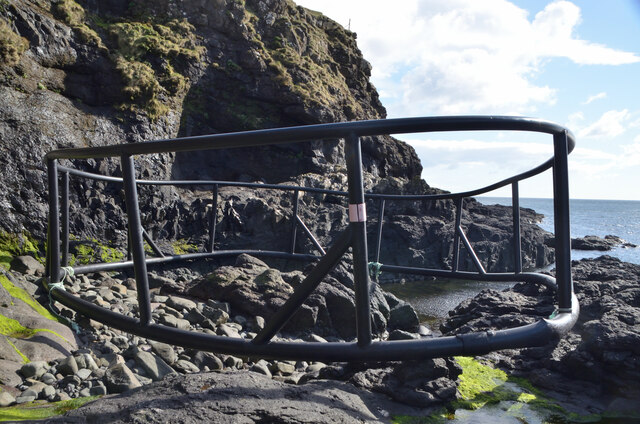
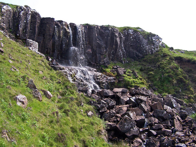
Cnoc Fuar Images

Images are sourced within 2km of 57.371316/-6.6933578 or Grid Reference NG1740. Thanks to Geograph Open Source API. All images are credited.

River Lorgill entering Lorgill Bay At this point I am perched on a tiny path, suffering from vertigo, but what a great view.
River Lorgill entering Lorgill Bay
At this point I am perched on a tiny path, suffering from vertigo, but what a great view.
Cliffs below Cnoc Fuar
Across Lorgill valley This is a lovely view across the valley with Autumnal colours everywhere.
Across Lorgill valley
This is a lovely view across the valley with Autumnal colours everywhere.
Sheep grazing in Lorgill valley
Heather on valley sides at Lorgill
Along the coast This is looking along the coast in a south-easterly direction from The Hoe. The Maidens are just visible in the far distance.
Along the coast
This is looking along the coast in a south-easterly direction from The Hoe. The Maidens are just visible in the far distance.
Ruins in Lorgill Two of the houses from which the residents were removed in the clearance of 1830.
Ruins in Lorgill
Two of the houses from which the residents were removed in the clearance of 1830.
View across Lorgill Bay With South Uist on the horizon.
View across Lorgill Bay
With South Uist on the horizon.
Gorge of the Scaladal Burn The crossing of the gorge entails a descent and climb out on narrow sheep tracks.
Gorge of the Scaladal Burn
The crossing of the gorge entails a descent and climb out on narrow sheep tracks.
Coastal scenery at Scaladal Impressive basalt cliffs and wave-cut platforms on the west coast of Skye.
Coastal scenery at Scaladal
Impressive basalt cliffs and wave-cut platforms on the west coast of Skye.
Lorgill
Lorgill
The mouth of the Lorgill River The water of the river sinks into the shingle here, making this the easiest crossing point when the river is high.
The object in the foreground is the decomposing, very smelly, body of a minke whale.
The mouth of the Lorgill River
The water of the river sinks into the shingle here, making this the easiest crossing point when the river is high. The object in the foreground is the decomposing, very smelly, body of a minke whale.
Lorgill A similar view to <a href="https://www.geograph.org.uk/photo/3386864">NG1741 : Lorgill</a>, showing the difference in colours between March and August.
Lorgill
A similar view to NG1741 : Lorgill, showing the difference in colours between March and August.
Fish Farm Pollution, Isle of Skye One of the largest pieces of litter you would ever expect to find on the coast, this enormous structure comprising plastic pipes was most likely once part of a fish farm.  Broken free, it now lies abandoned on a remote shoreline at Lorgill on the west coast of Skye.
Fish Farm Pollution, Isle of Skye
One of the largest pieces of litter you would ever expect to find on the coast, this enormous structure comprising plastic pipes was most likely once part of a fish farm. Broken free, it now lies abandoned on a remote shoreline at Lorgill on the west coast of Skye.
Sea caves on the Duirinish coast The entrances to a pair of large caves in the cliffline east of Lorgill.
Sea caves on the Duirinish coast
The entrances to a pair of large caves in the cliffline east of Lorgill.
Above the cliff edge Exposure to the wind and a gentle slope for drainage means that the walking is good on the ground above the cliff edge on the south west facing coast of the Duirinish Peninsula. There are few boggy patches, and only occasional gorges to negotiate where a burn has carved its way into the rock. The views are wonderful.
Above the cliff edge
Exposure to the wind and a gentle slope for drainage means that the walking is good on the ground above the cliff edge on the south west facing coast of the Duirinish Peninsula. There are few boggy patches, and only occasional gorges to negotiate where a burn has carved its way into the rock. The views are wonderful.
Natural arch (1) My camera struggled with the light to capture this photograph, so I took a couple of zoomed-in shots as well - <a href="https://www.geograph.org.uk/photo/1999672">NG1839 : Natural arch (2)</a>  <a href="https://www.geograph.org.uk/photo/1999679">NG1839 : Natural arch (3)</a>. This is a massive lump of rock, with an almost cathedral-sized arch in it, and caves too. It is one of several arches along this south west facing coast of the Duirinish Peninsula. It would be amazing to see it in a rough sea.
Natural arch (1)
My camera struggled with the light to capture this photograph, so I took a couple of zoomed-in shots as well - NG1839 : Natural arch (2) NG1839 : Natural arch (3). This is a massive lump of rock, with an almost cathedral-sized arch in it, and caves too. It is one of several arches along this south west facing coast of the Duirinish Peninsula. It would be amazing to see it in a rough sea.
Natural arch (2) A slightly zoomed shot of a wonderful natural arch on the south west coast of the Duirinish Peninsula. See also <a href="https://www.geograph.org.uk/photo/1999665">NG1839 : Natural arch (1)</a> and <a href="https://www.geograph.org.uk/photo/1999679">NG1839 : Natural arch (3)</a>.
Natural arch (2)
A slightly zoomed shot of a wonderful natural arch on the south west coast of the Duirinish Peninsula. See also NG1839 : Natural arch (1) and NG1839 : Natural arch (3).
Show me another place!

Cnoc Fuar is located at Grid Ref: NG1740 (Lat: 57.371316, Lng: -6.6933578)

Unitary Authority: Highland

Police Authority: Highlands and Islands

What 3 Words

///nibbles.pioneered.sushi. Near Glendale, Highland

Related Wikis

Eas Mòr, Durinish

Eas Mòr is a waterfall on the Duirinish peninsula of the island of Skye in Scotland. It lies on the Allt Mhicheil, a tributary of the Dibidal River below...

Ramasaig

Ramasaig is a small township on the western shore of the Duirinish peninsula, on Dunvegan, Isle of Skye and is in the Scottish Highlands and is in the...

Healabhal Bheag

Healabhal Bheag is a hill located on the Duirinish peninsula of the Isle of Skye in the Inner Hebrides, Scotland. It is also known as MacLeod's Table South...

Borrodale

Borrodale (Scottish Gaelic: Borodail) is small hamlet on the Isle of Skye, in the Inner Hebrides of Scotland. Borrodale is part of Glendale and the Glendale...

Nearby Amenities

Located within 500m of 57.371316,-6.6933578
Cnoc Fuar
Ele: 137
Place: locality
Lat/Long: 57.3712773/-6.6939899
The data included in this document is from www.openstreetmap.org. The data is made available under ODbL.

Have you been to Cnoc Fuar?

Leave your review of Cnoc Fuar below (or comments, questions and feedback).