Cleite na Cloich Àrd
Hill, Mountain in Ross-shire
Scotland
Cleite na Cloich Àrd
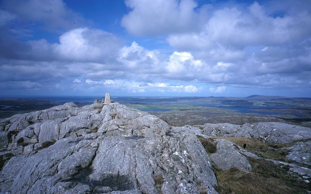
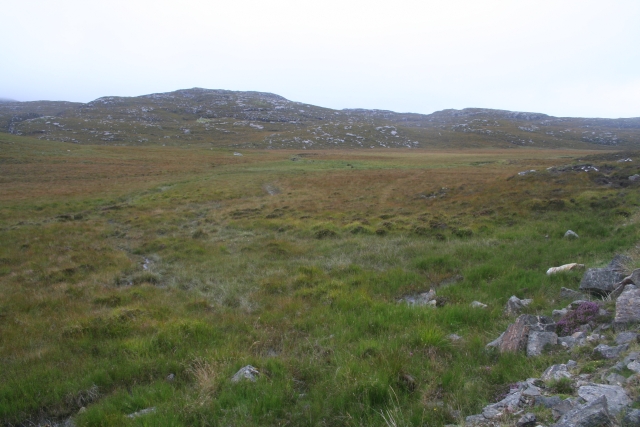
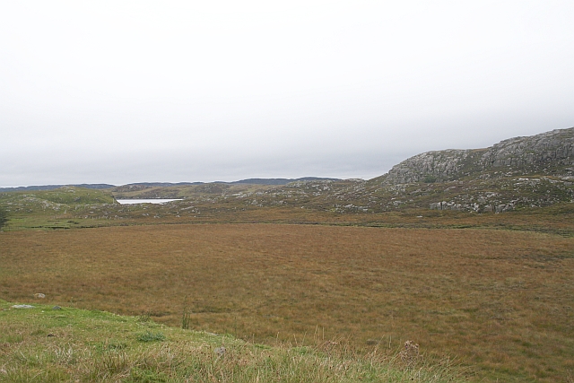
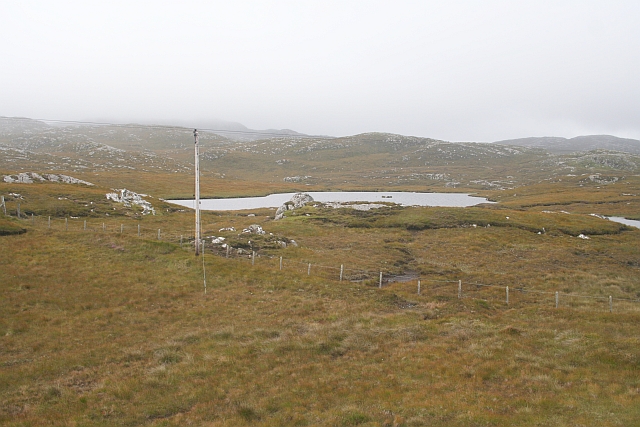
Cleite na Cloich Àrd, located in Ross-shire, Scotland, is a prominent hill/mountain that stands at an elevation of approximately 645 meters (2,116 feet). It is situated within the stunning and picturesque landscape of the Scottish Highlands, offering breathtaking panoramic views of the surrounding area.
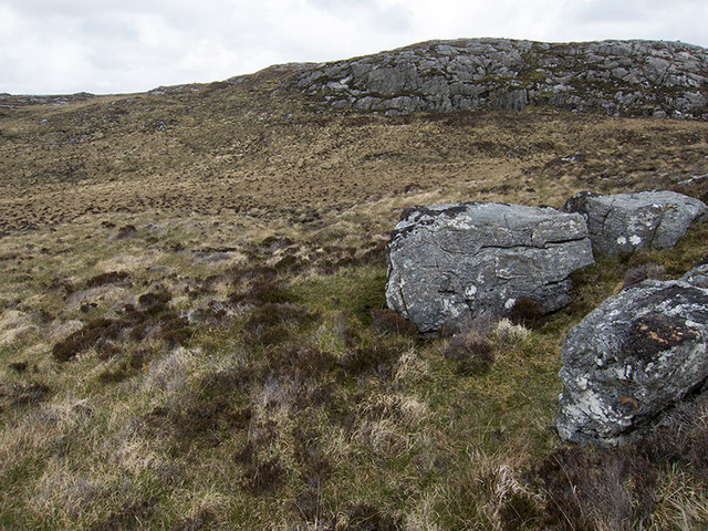
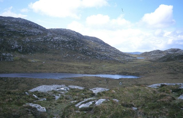
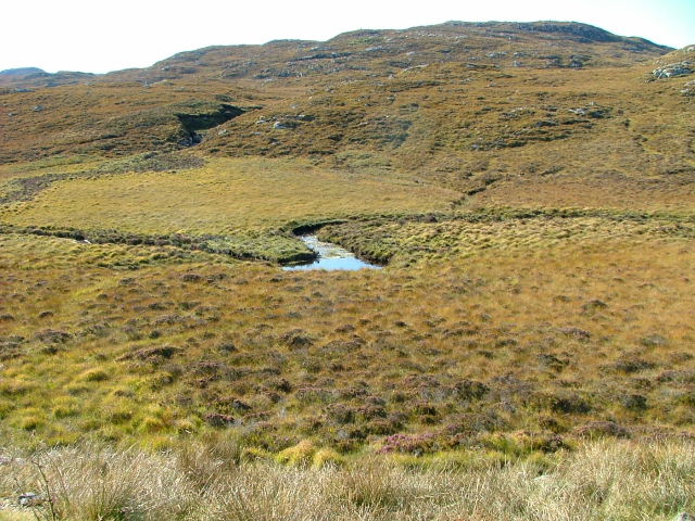
The hill/mountain features a rugged and rocky terrain, with its summit marked by a distinctive cairn. The ascent to the summit can be challenging, with steep slopes and loose scree in some sections. However, the effort is rewarded with stunning vistas of the surrounding mountains, lochs, and glens.
Cleite na Cloich Àrd is a popular destination for outdoor enthusiasts, including hikers, mountaineers, and nature lovers. It offers a range of trails and routes, catering to different skill levels and preferences. The hill/mountain is particularly renowned for its diverse wildlife, with the chance to spot various bird species, including golden eagles, peregrine falcons, and ptarmigans.
The surrounding area of Ross-shire also offers other attractions and activities for visitors. Nearby, there are quaint villages and towns that provide opportunities for accommodation, dining, and shopping. The region is also known for its rich history and heritage, with ancient ruins, castles, and archaeological sites to explore.
Overall, Cleite na Cloich Àrd is a captivating natural landmark, offering a challenging yet rewarding experience for outdoor enthusiasts and a chance to immerse oneself in the stunning beauty of the Scottish Highlands.
If you have any feedback on the listing, please let us know in the comments section below.
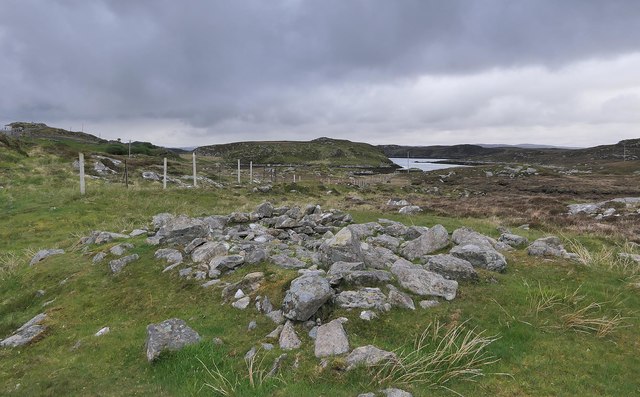
Cleite na Cloich Àrd Images
Images are sourced within 2km of 58.173908/-6.8047922 or Grid Reference NB1730. Thanks to Geograph Open Source API. All images are credited.

Cleite na Cloich Àrd is located at Grid Ref: NB1730 (Lat: 58.173908, Lng: -6.8047922)
Unitary Authority: Na h-Eileanan an Iar
Police Authority: Highlands and Islands
What 3 Words
///finishers.radiates.encoder. Near Carloway, Na h-Eileanan Siar
Nearby Locations
Related Wikis

Eilean Chearstaidh
Eilean Kearstay (Scottish Gaelic: Eilean Chearstaigh) is an uninhabited island in Loch Roag in the Outer Hebrides of Scotland. It lies south east of Great...

Callanish VIII
The Callanish VIII stone setting is one of many megalithic structures around the better-known (and larger) Calanais I on the west coast of the Isle of...

Callanish Stones
The Callanish Stones (or "Callanish I": Scottish Gaelic: Clachan Chalanais or Tursachan Chalanais) are an arrangement of standing stones placed in a cruciform...

Callanish
Callanish (Scottish Gaelic: Calanais) is a village (township) on the west side of the Isle of Lewis, in the Outer Hebrides (Western Isles), Scotland. Callanish...
Nearby Amenities
Located within 500m of 58.173908,-6.8047922Have you been to Cleite na Cloich Àrd?
Leave your review of Cleite na Cloich Àrd below (or comments, questions and feedback).