An Cliseam
Hill, Mountain in Inverness-shire
Scotland
An Cliseam
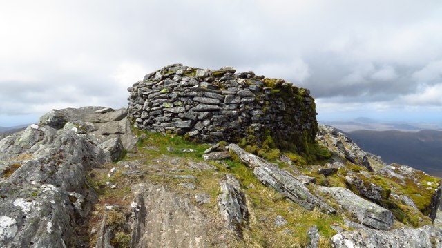
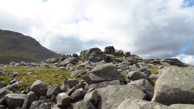
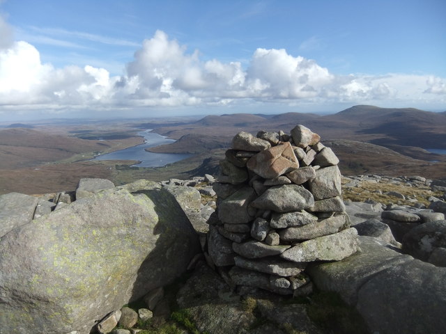
An Cliseam is a prominent hill located in Inverness-shire, Scotland. With an elevation of 799 meters (2,621 feet), it is considered one of the highest peaks in the region. An Cliseam is part of the Harris Hills range, situated on the Isle of Harris, which forms part of the Outer Hebrides archipelago.
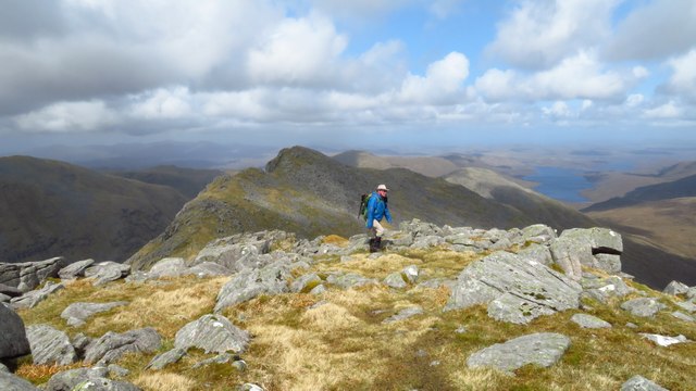
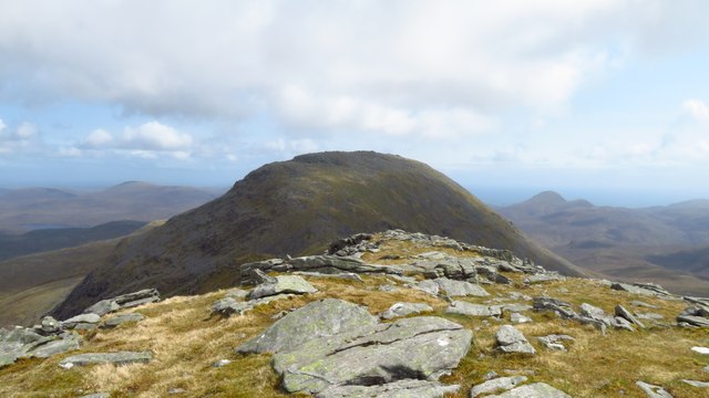
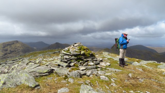
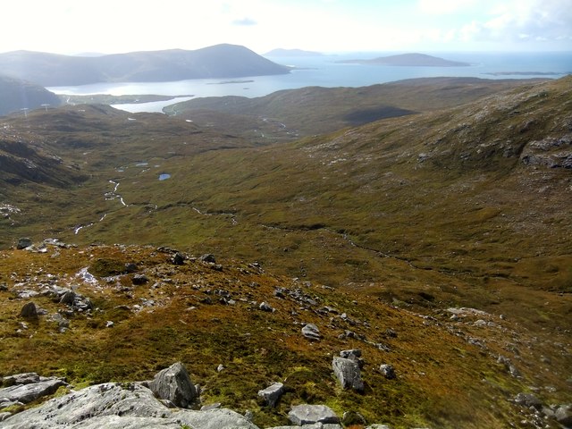
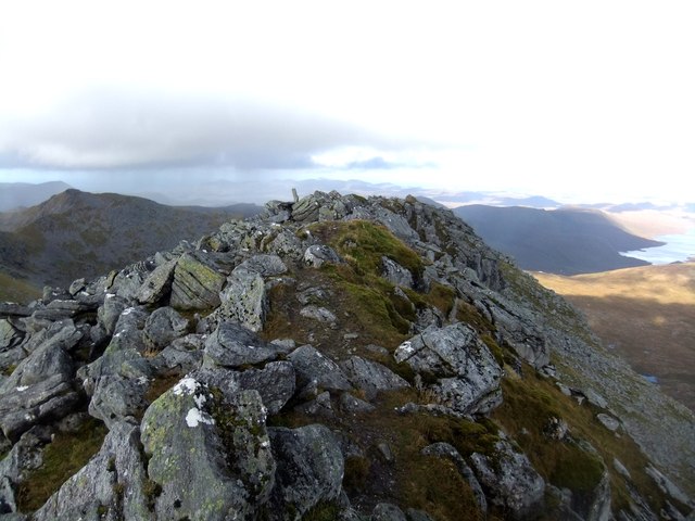
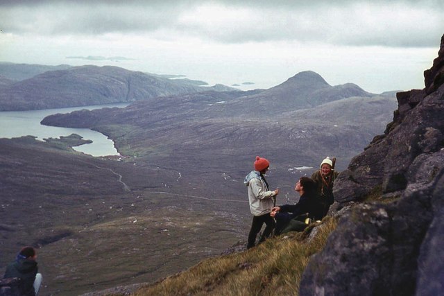
The hill offers breathtaking panoramic views of the surrounding landscapes, including the rugged coastline, vast moorlands, and the crystal-clear waters of the North Atlantic Ocean. The summit of An Cliseam provides a vantage point to appreciate the beauty and diversity of the region.
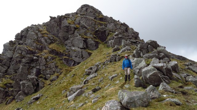
An Cliseam is a popular destination for hikers and outdoor enthusiasts, who are drawn to its challenging yet rewarding trails. The ascent to the summit can be steep and rocky, requiring a moderate level of fitness and proper hiking gear. However, the stunning vistas and sense of accomplishment make it a worthwhile endeavor.
The hill is also known for its rich biodiversity, with various species of flora and fauna found along its slopes. The hillsides are covered in heather and grasses, while the higher elevations are home to hardy alpine plants. Wildlife such as red deer, mountain hares, and golden eagles can often be spotted in the area.
An Cliseam is not only a natural landmark but also holds cultural significance to the local community. It is often mentioned in traditional folk tales and songs, adding to its mystique and allure. Visitors to Inverness-shire should not miss the opportunity to explore and experience the beauty of An Cliseam and its surroundings.
If you have any feedback on the listing, please let us know in the comments section below.
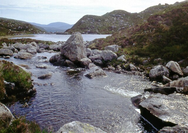
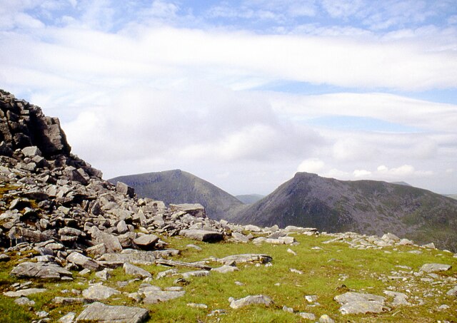
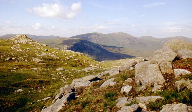
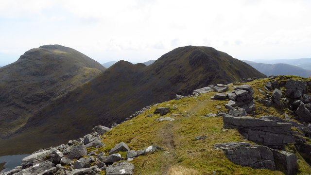
An Cliseam Images
Images are sourced within 2km of 57.963737/-6.812531 or Grid Reference NB1507. Thanks to Geograph Open Source API. All images are credited.


An Cliseam is located at Grid Ref: NB1507 (Lat: 57.963737, Lng: -6.812531)
Unitary Authority: Na h-Eileanan an Iar
Police Authority: Highlands and Islands
What 3 Words
///airtime.dugouts.willing. Near Tarbert, Na h-Eileanan Siar
Nearby Locations
Related Wikis

Uisgneabhal Mor
Uisgnabhal Mor (729 m) is a mountain in Harris, in the Outer Hebrides of Scotland. A complex mountain of several ridges and summits, it lies in the centre...

Bun Abhainn Eadarra
Bun Abhainn Eadarra or Bunavoneadar is a hamlet adjacent to the Loch Bun Abhainn Eadarra, on the south shore of North Harris, in the Outer Hebrides, Scotland...

Ardvourlie Castle
Ardvourlie Castle is a 19th-century country house on Harris, one of the Western Isles off the north-west coast of Scotland. The house was built beside...

Ardhasaig
Ardhasaig (Scottish Gaelic: Àird Àsaig) is a settlement on the western coast of north Harris, in the Outer Hebrides, Scotland. Ardhasaig is also within...

Harris, Outer Hebrides
Harris (Scottish Gaelic: Na Hearadh, pronounced [nə ˈhɛɾəɣ] ) is the southern and more mountainous part of Lewis and Harris, the largest island in the...

Seaforth Island
Seaforth Island (Scottish Gaelic: Eilean Shìphoirt/Shìophoirt or Mulag) is an uninhabited island in the Outer Hebrides of Scotland. Unlike many other...

Loch Seaforth
Loch Seaforth (Scottish Gaelic: Loch Shiphoirt or Shìophoirt) is a sea loch in the Outer Hebrides of Scotland. It consists of three distinct sections;...

Tarbert, Harris
Tarbert (Scottish Gaelic: An Tairbeart [ən̪ˠ ˈt̪ɛrʲɛbərˠʃt̪]) is the main community on Harris in the Western Isles of Scotland. The name means "isthmus...
Nearby Amenities
Located within 500m of 57.963737,-6.812531Have you been to An Cliseam?
Leave your review of An Cliseam below (or comments, questions and feedback).