Beinn Drobhanais
Hill, Mountain in Ross-shire
Scotland
Beinn Drobhanais

Beinn Drobhanais is a prominent hill located in Ross-shire, Scotland. It is part of the Northwest Highlands, a region renowned for its stunning landscapes and natural beauty. Standing at an elevation of 882 meters (2,894 feet), Beinn Drobhanais is classified as a Corbett, which is a Scottish hill between 2,500 and 3,000 feet high.
The hill is characterized by its rugged and rocky terrain, typical of the Highland region. Its slopes are covered in heather and grasses, providing a habitat for various wildlife species. The summit offers breathtaking panoramic views of the surrounding area, including the nearby Lochs Ewe and Maree, as well as the Torridon and Fisherfield mountain ranges.
Hiking enthusiasts and climbers are drawn to Beinn Drobhanais for its challenging but rewarding ascent. There are several routes to reach the summit, varying in difficulty and length. The most popular route starts from the village of Aultbea, taking hikers along a well-marked path that gradually ascends towards the peak.
From the summit, on a clear day, one can see the Isle of Skye to the west and the hills of Assynt to the north. The hill's location also offers a chance to spot various bird species, including golden eagles and peregrine falcons, as well as red deer and other mammals.
Beinn Drobhanais is a remarkable natural feature that attracts outdoor enthusiasts and nature lovers alike. Its challenging yet accessible trails, coupled with its stunning vistas, make it a must-visit destination for those exploring the Scottish Highlands.
If you have any feedback on the listing, please let us know in the comments section below.
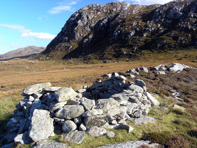
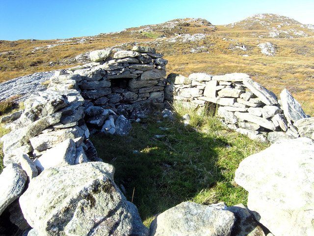
Beinn Drobhanais Images
Images are sourced within 2km of 58.182389/-6.8464041 or Grid Reference NB1531. Thanks to Geograph Open Source API. All images are credited.

Beinn Drobhanais is located at Grid Ref: NB1531 (Lat: 58.182389, Lng: -6.8464041)
Unitary Authority: Na h-Eileanan an Iar
Police Authority: Highlands and Islands
What 3 Words
///switched.carry.extent. Near Carloway, Na h-Eileanan Siar
Nearby Locations
Related Wikis

Callanish VIII
The Callanish VIII stone setting is one of many megalithic structures around the better-known (and larger) Calanais I on the west coast of the Isle of...

Fuaigh Beag
Fuaigh Beag or Vuia Be(a)g is an island in the Outer Hebrides. It is off the west coast of Lewis near Great Bernera in Loch Roag. Its name means "little...
Loch Ròg
Loch Ròg or Loch Roag is a large sea loch on the west coast of Lewis, Outer Hebrides. It is broadly divided into East Loch Roag and West Loch Roag with...

Dun Bharabhat, Great Bernera
Dun Bharabhat (or Dun Baravat) is an Iron Age galleried dun or "semi-broch" situated on the island of Great Bernera near Lewis in Scotland (grid reference...
Nearby Amenities
Located within 500m of 58.182389,-6.8464041Have you been to Beinn Drobhanais?
Leave your review of Beinn Drobhanais below (or comments, questions and feedback).