Tarsabhal
Hill, Mountain in Inverness-shire
Scotland
Tarsabhal
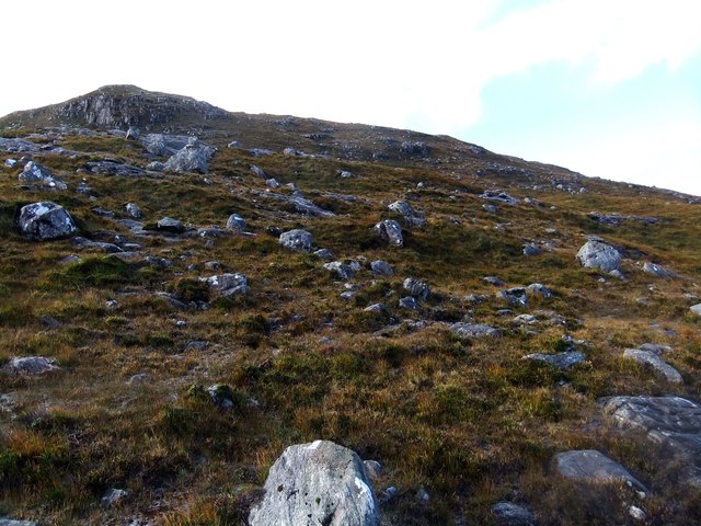
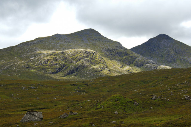
Tarsabhal is a prominent hill located in Inverness-shire, Scotland. It is situated in the western part of the county, near the village of Kilchoan, and forms a part of the wider Ardnamurchan Peninsula. Rising to a height of approximately 304 meters (997 feet), Tarsabhal stands as a prominent landmark in the area.
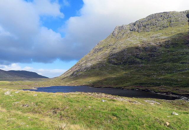
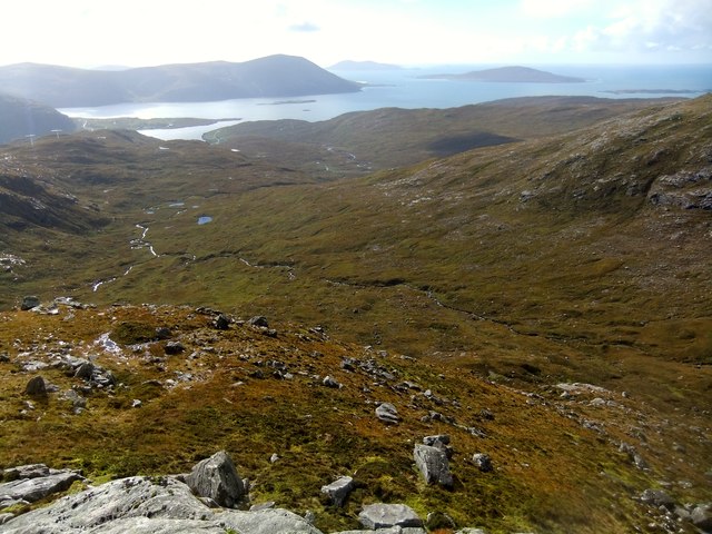
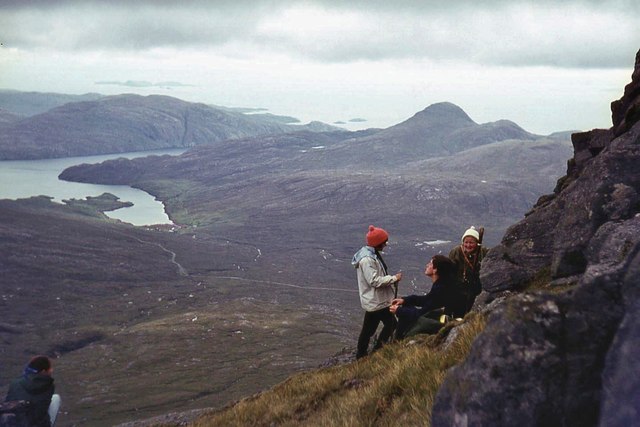
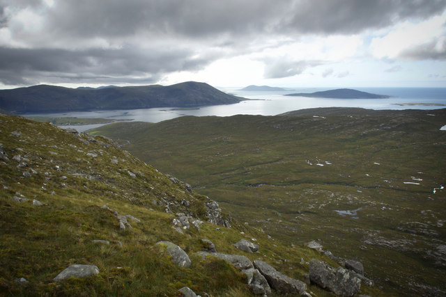
The hill offers breathtaking panoramic views of the surrounding landscape, including the picturesque Loch Sunart and the nearby islands of Eigg, Rum, and Muck. Its location on the Ardnamurchan Peninsula provides visitors with a unique vantage point to appreciate the rugged beauty of the Scottish Highlands.
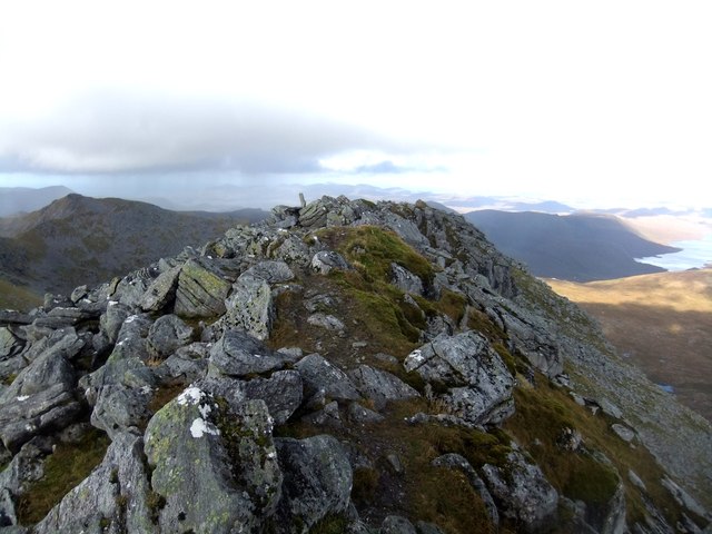
Tarsabhal is a popular destination for outdoor enthusiasts, offering various activities such as hiking and hillwalking. A well-marked path leads to the summit, making it accessible for individuals of varying fitness levels. The ascent to the top rewards hikers with stunning vistas and the opportunity to spot local wildlife, including red deer and golden eagles.
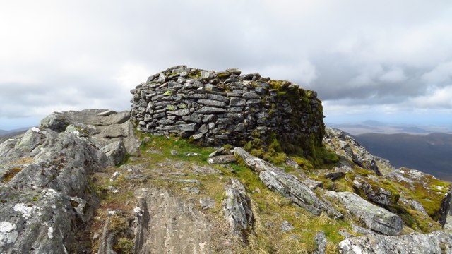
The hill also holds historical significance, with the remains of an Iron Age fort known as Dun Tarsuinn located near its summit. These ancient fortifications provide a glimpse into the region's rich cultural heritage.
Overall, Tarsabhal is a must-visit destination for nature lovers and history enthusiasts alike. Its natural beauty, combined with its accessibility and historical importance, make it an ideal spot to explore and appreciate the Scottish Highlands.
If you have any feedback on the listing, please let us know in the comments section below.
Tarsabhal Images
Images are sourced within 2km of 57.948355/-6.818452 or Grid Reference NB1505. Thanks to Geograph Open Source API. All images are credited.


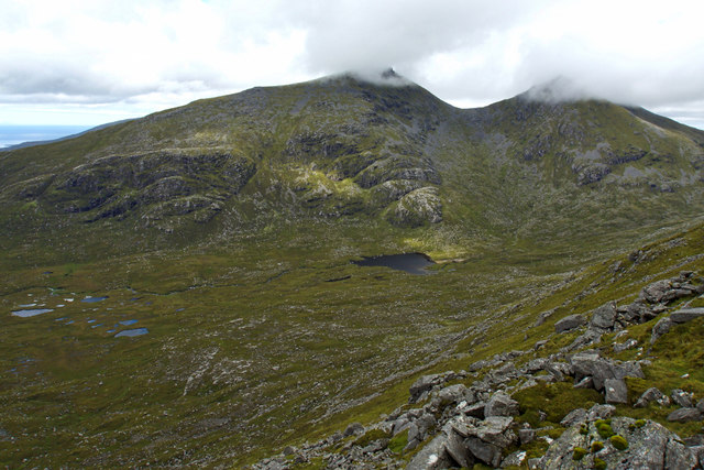
![The A859 on Harris Looking north to the bridges [old and new] over Abhainn Ceann an Ora and, on the left, the entrance to a quarry.](https://s1.geograph.org.uk/geophotos/04/98/86/4988621_9a31284e.jpg)


Tarsabhal is located at Grid Ref: NB1505 (Lat: 57.948355, Lng: -6.818452)
Unitary Authority: Na h-Eileanan an Iar
Police Authority: Highlands and Islands
What 3 Words
///reacting.clashing.increased. Near Tarbert, Na h-Eileanan Siar
Nearby Locations
Related Wikis

Bun Abhainn Eadarra
Bun Abhainn Eadarra or Bunavoneadar is a hamlet adjacent to the Loch Bun Abhainn Eadarra, on the south shore of North Harris, in the Outer Hebrides, Scotland...

Ardhasaig
Ardhasaig (Scottish Gaelic: Àird Àsaig) is a settlement on the western coast of north Harris, in the Outer Hebrides, Scotland. Ardhasaig is also within...

Uisgneabhal Mor
Uisgnabhal Mor (729 m) is a mountain in Harris, in the Outer Hebrides of Scotland. A complex mountain of several ridges and summits, it lies in the centre...

Harris, Outer Hebrides
Harris (Scottish Gaelic: Na Hearadh, pronounced [nə ˈhɛɾəɣ] ) is the southern and more mountainous part of Lewis and Harris, the largest island in the...
Nearby Amenities
Located within 500m of 57.948355,-6.818452Have you been to Tarsabhal?
Leave your review of Tarsabhal below (or comments, questions and feedback).