An t-Isean
Hill, Mountain in Inverness-shire
Scotland
An t-Isean
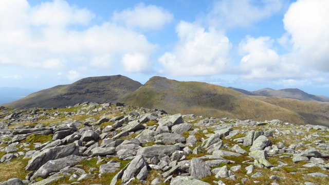
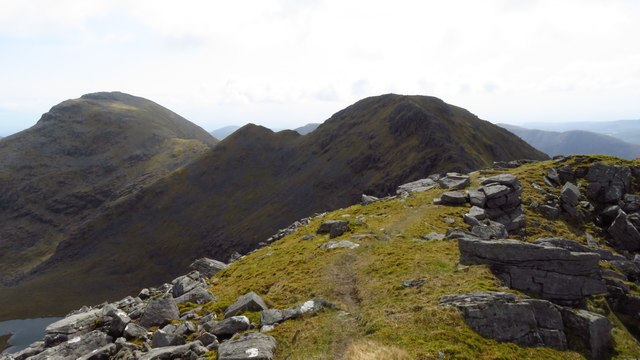
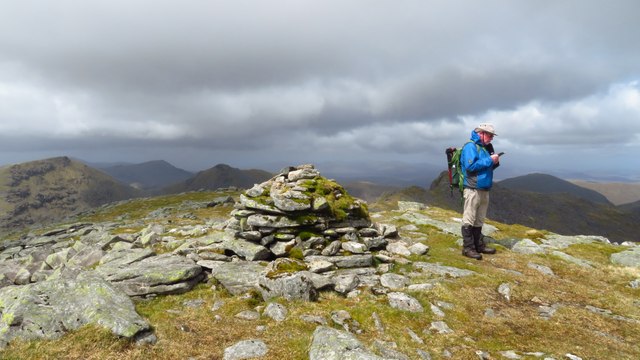
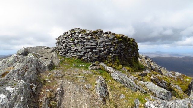
An t-Isean is a picturesque hill located in Inverness-shire, Scotland. It is part of the stunning Scottish Highlands landscape and is renowned for its natural beauty and breathtaking views. Standing at an elevation of approximately 1,094 meters (3,589 feet), it is classified as a mountain.
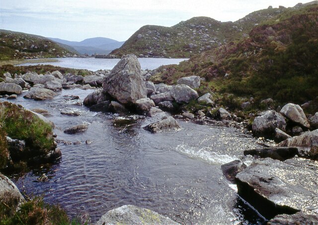
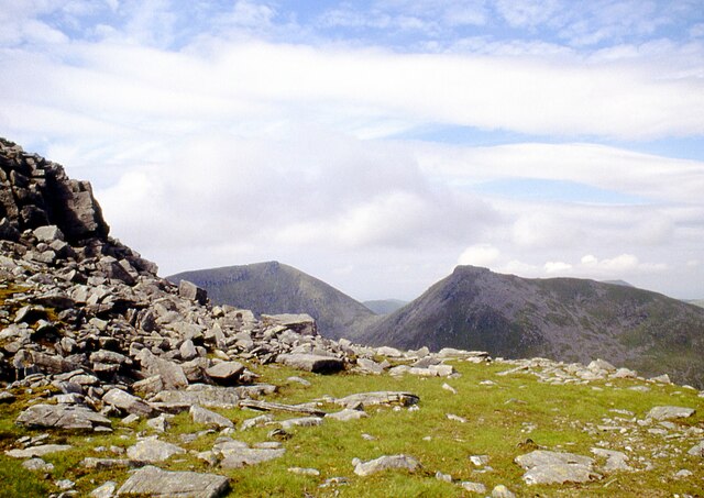
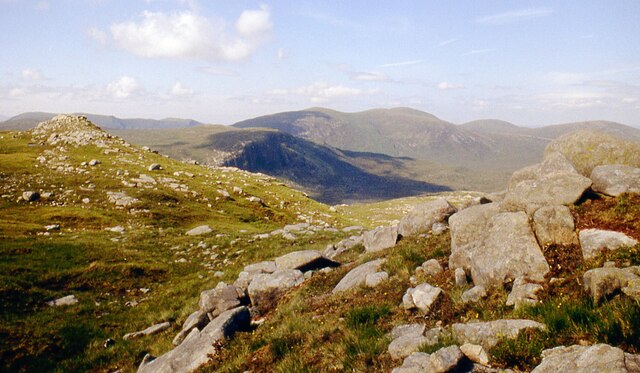
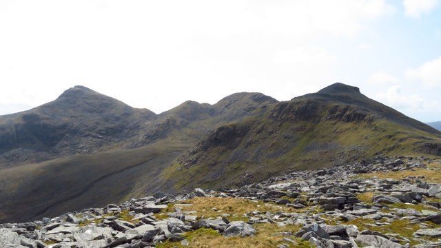
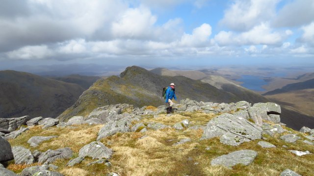
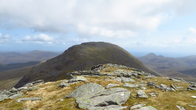
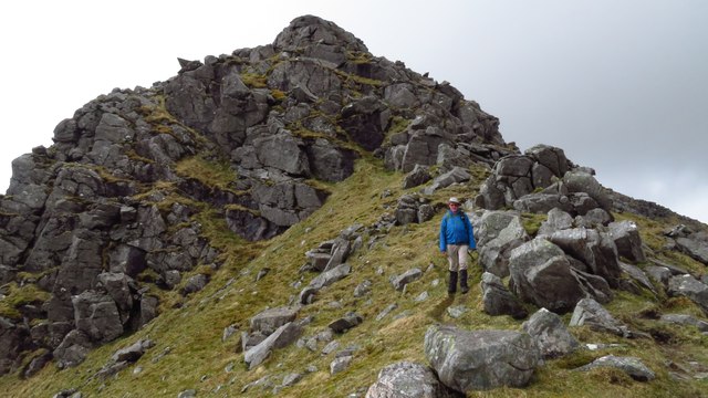
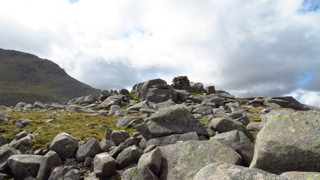
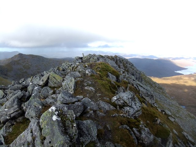
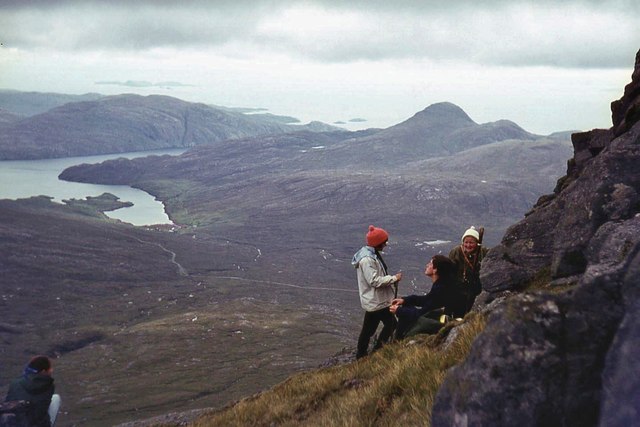
The hill is situated in the western part of Inverness-shire, near the village of Lochailort. It is surrounded by rugged terrain and offers a challenging yet rewarding climb for outdoor enthusiasts. The climb to the summit of An t-Isean can be quite steep and requires a moderate level of fitness and experience, making it a popular destination for hikers and mountaineers.
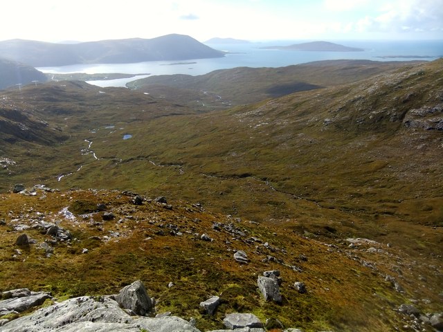
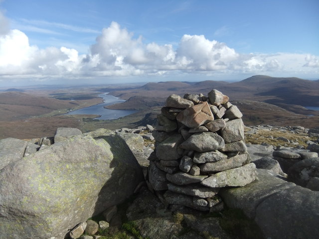
At the summit, visitors are rewarded with panoramic views of the surrounding countryside, including Loch Ailort and the neighboring peaks of the Scottish Highlands. On a clear day, it is possible to see as far as the Isle of Skye and the Inner Hebrides.
An t-Isean is also home to a diverse range of flora and fauna. The hillside is covered in heather and bracken, providing a habitat for various species of birds, including peregrine falcons and golden eagles. The hill is also frequented by herds of red deer, adding to the natural beauty and wildlife sightings.
Overall, An t-Isean offers a rewarding and challenging outdoor experience for those seeking to explore the stunning Scottish Highlands. Its breathtaking views, diverse wildlife, and rugged terrain make it a must-visit destination for nature lovers and adventure seekers alike.
If you have any feedback on the listing, please let us know in the comments section below.
An t-Isean Images
Images are sourced within 2km of 57.966008/-6.8266319 or Grid Reference NB1407. Thanks to Geograph Open Source API. All images are credited.


An t-Isean is located at Grid Ref: NB1407 (Lat: 57.966008, Lng: -6.8266319)
Unitary Authority: Na h-Eileanan an Iar
Police Authority: Highlands and Islands
What 3 Words
///climate.cafe.snippets. Near Tarbert, Na h-Eileanan Siar
Nearby Locations
Related Wikis

Uisgneabhal Mor
Uisgnabhal Mor (729 m) is a mountain in Harris, in the Outer Hebrides of Scotland. A complex mountain of several ridges and summits, it lies in the centre...

Bun Abhainn Eadarra
Bun Abhainn Eadarra or Bunavoneadar is a hamlet adjacent to the Loch Bun Abhainn Eadarra, on the south shore of North Harris, in the Outer Hebrides, Scotland...

Ardvourlie Castle
Ardvourlie Castle is a 19th-century country house on Harris, one of the Western Isles off the north-west coast of Scotland. The house was built beside...

Ardhasaig
Ardhasaig (Scottish Gaelic: Àird Àsaig) is a settlement on the western coast of north Harris, in the Outer Hebrides, Scotland. Ardhasaig is also within...
Nearby Amenities
Located within 500m of 57.966008,-6.8266319Have you been to An t-Isean?
Leave your review of An t-Isean below (or comments, questions and feedback).