Sròn Mhòr
Hill, Mountain in Ross-shire
Scotland
Sròn Mhòr
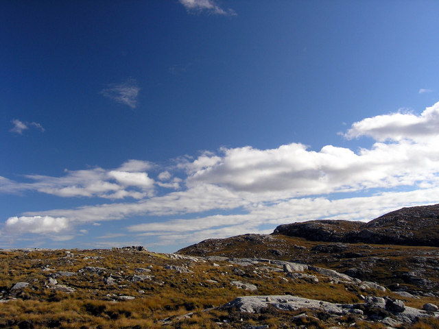
Sròn Mhòr is a prominent hill located in Ross-shire, Scotland. Standing at an impressive height of 879 meters (2,884 feet), it offers stunning panoramic views of the surrounding landscape. The hill is part of the Torridon Mountains, which are known for their rugged beauty and dramatic scenery.
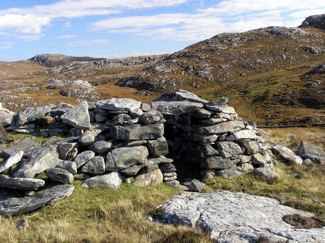
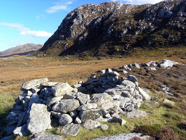
The ascent to Sròn Mhòr starts from the picturesque village of Torridon, taking hikers through a variety of terrains, including heather-covered moorland, rocky slopes, and scree fields. The route can be challenging, particularly in adverse weather conditions, but the reward at the summit is well worth the effort.
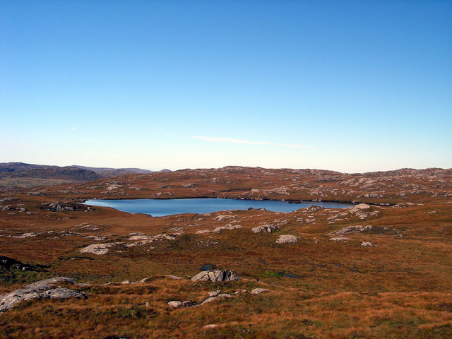
At the top of Sròn Mhòr, on a clear day, one can enjoy breathtaking vistas of Loch Torridon, the Beinn Eighe National Nature Reserve, and the surrounding peaks of the Torridon range. The sight of the shimmering loch nestled between the towering mountains is truly awe-inspiring.
The hill is also home to a diverse range of flora and fauna, with rare alpine plants clinging to its craggy slopes and golden eagles soaring overhead. Hikers may even spot red deer roaming the lower slopes, adding to the wild and untamed atmosphere of the area.
For those seeking a challenging and rewarding mountain adventure, Sròn Mhòr in Ross-shire is an excellent choice. Its rugged beauty, breathtaking views, and abundant wildlife make it a must-visit destination for outdoor enthusiasts and nature lovers alike.
If you have any feedback on the listing, please let us know in the comments section below.
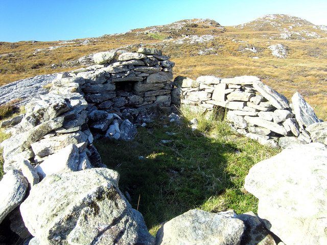
Sròn Mhòr Images
Images are sourced within 2km of 58.166761/-6.8558836 or Grid Reference NB1430. Thanks to Geograph Open Source API. All images are credited.


Sròn Mhòr is located at Grid Ref: NB1430 (Lat: 58.166761, Lng: -6.8558836)
Unitary Authority: Na h-Eileanan an Iar
Police Authority: Highlands and Islands
What 3 Words
///gangs.positives.curvy. Near Carloway, Na h-Eileanan Siar
Nearby Locations
Related Wikis

Fuaigh Beag
Fuaigh Beag or Vuia Be(a)g is an island in the Outer Hebrides. It is off the west coast of Lewis near Great Bernera in Loch Roag. Its name means "little...
Loch Ròg
Loch Ròg or Loch Roag is a large sea loch on the west coast of Lewis, Outer Hebrides. It is broadly divided into East Loch Roag and West Loch Roag with...

Gisla Hydro-Electric Scheme
Gisla Hydro-Electric Scheme was a small scheme promoted by the North of Scotland Hydro-Electric Board on the Isle of Lewis, Outer Hebrides, Scotland. It...

Callanish VIII
The Callanish VIII stone setting is one of many megalithic structures around the better-known (and larger) Calanais I on the west coast of the Isle of...
Have you been to Sròn Mhòr?
Leave your review of Sròn Mhòr below (or comments, questions and feedback).