Uamascleit

Hill, Mountain in Inverness-shire

Scotland

Uamascleit

West Loch Tarbert piers
West Loch Tarbert piers Credit: Alan Reid

Uamascleit is a prominent hill located in Inverness-shire, Scotland. It lies within the rugged and picturesque landscape of the Scottish Highlands, near the village of Fort Augustus. With an elevation of approximately 720 meters (2,360 feet), it is considered a substantial mountain by local standards.

Uamascleit offers breathtaking panoramic views that showcase the natural beauty of the surrounding area. On a clear day, visitors can marvel at the majestic peaks of the nearby Munros, such as Ben Nevis and the Grey Corries, which form part of the iconic Grampian Mountain Range.

The terrain of Uamascleit is characterized by a mixture of grassy slopes, rocky outcrops, and heather-covered moorland. The hill's slopes are relatively gentle, making it accessible to hikers of various skill levels. However, it is important to come prepared with suitable outdoor gear, as the weather can change rapidly, and the terrain can become challenging in certain sections.

For nature enthusiasts, Uamascleit offers a rich and diverse ecosystem. The hill is home to a variety of flora and fauna, including heather, bilberry, and cotton grass, as well as a range of bird species such as golden eagles and ptarmigans.

Overall, Uamascleit provides an excellent opportunity for outdoor enthusiasts to explore the scenic Scottish Highlands and immerse themselves in the natural wonders of Inverness-shire.

If you have any feedback on the listing, please let us know in the comments section below.
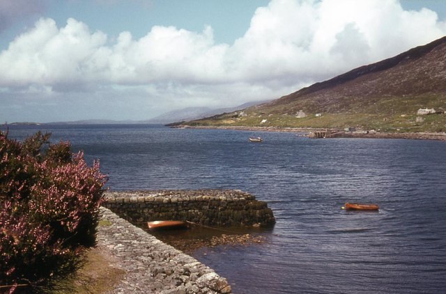
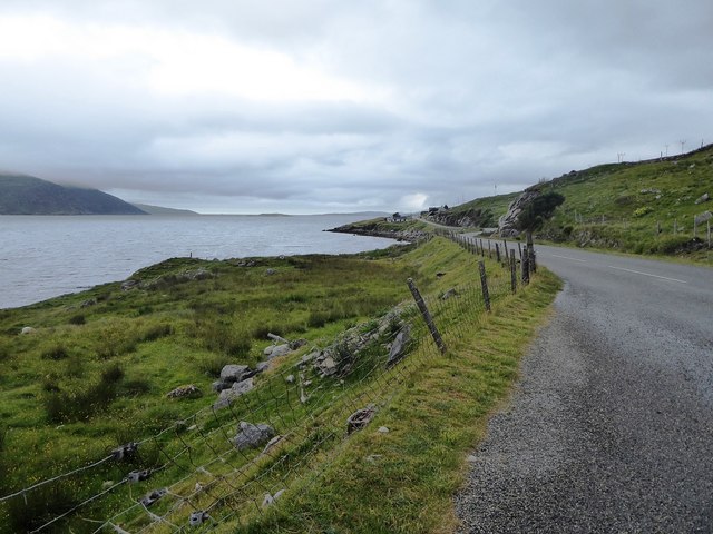
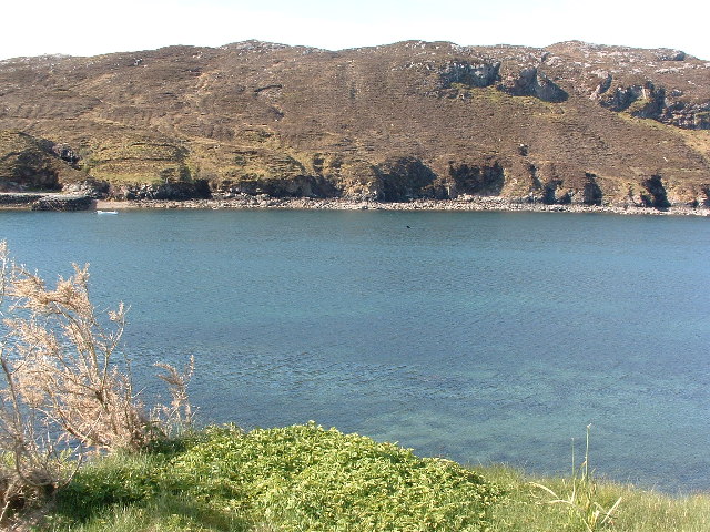
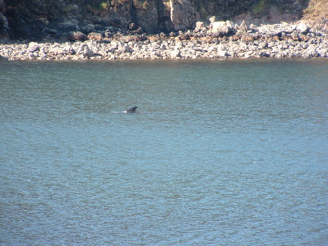
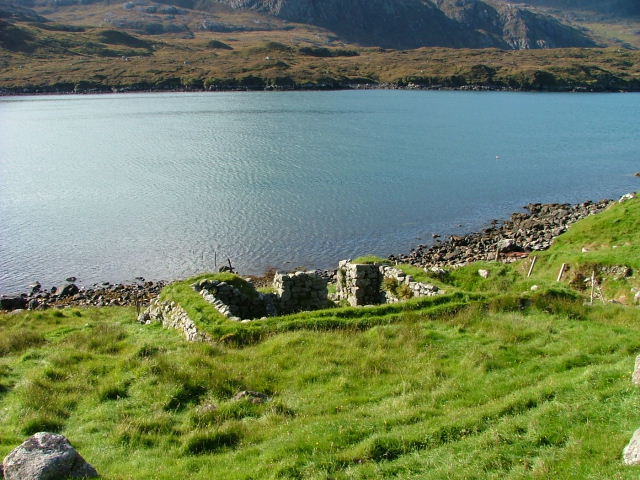
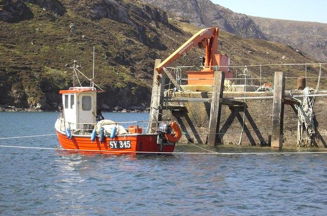
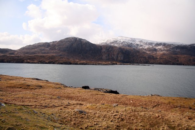
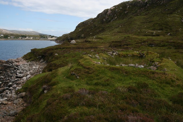
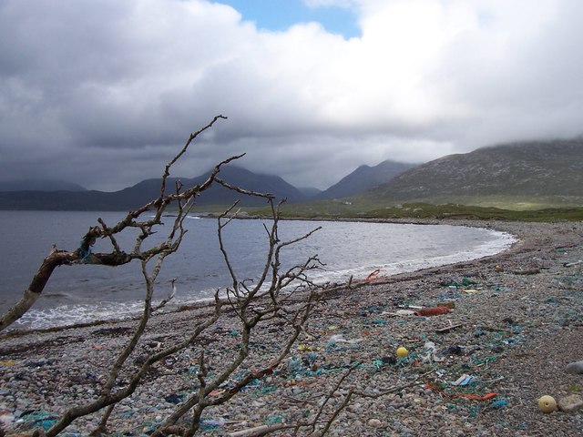
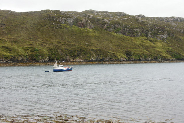
Uamascleit Images

Images are sourced within 2km of 57.893809/-6.8485207 or Grid Reference NG1299. Thanks to Geograph Open Source API. All images are credited.

West Loch Tarbert piers
The A859 and the shore of Loch a' Siar
View of West Bay at Tarbert View from the pier on the north side of the bay towards the pier on the south side, the interesting bit of the photo is the dorsal fin a bit right and up from the centre.
View of West Bay at Tarbert
View from the pier on the north side of the bay towards the pier on the south side, the interesting bit of the photo is the dorsal fin a bit right and up from the centre.
Tarbert bay Whale presumably a Minke whale, not huge but the biggest I've seen
Tarbert bay Whale
presumably a Minke whale, not huge but the biggest I've seen
Ruined Crofthouse at Leacainn Overlooking Loch A Siar.
Ruined Crofthouse at Leacainn
Overlooking Loch A Siar.
West Tarbert Pier West Tarbert Pier with a small fishing boat.
West Tarbert Pier
West Tarbert Pier with a small fishing boat.
Steicleit with the cliffs of Uamascleit behind Apparently quite a thriving community lived there once and even in recent years, Steicleit was the place where the folk from Tarbert went to cut their peats.
Steicleit with the cliffs of Uamascleit behind
Apparently quite a thriving community lived there once and even in recent years, Steicleit was the place where the folk from Tarbert went to cut their peats.
Remains of blackhouse The old drystone walls of a blackhouse can be seen on the south shore of West Loch Tarbert. The village of Tarbert can be seen in the background.
Remains of blackhouse
The old drystone walls of a blackhouse can be seen on the south shore of West Loch Tarbert. The village of Tarbert can be seen in the background.
Looking north across Bagh Stithcliet, Harris Looking across to Lewis at Bagh Stitchcliet with various amounts of washed up debris on the beach.
Looking north across Bagh Stithcliet, Harris
Looking across to Lewis at Bagh Stitchcliet with various amounts of washed up debris on the beach.
Old pier on West Loch Tarbert Seen across the head of the loch.
Old pier on West Loch Tarbert
Seen across the head of the loch.
The old pier at the end of Old Pier Road, Tarbert (An Tairbeart)
Boat in Loch a' Siar, Tarbert With the small cliff of Creag Raibistin on the far side of the loch.
Boat in Loch a' Siar, Tarbert
With the small cliff of Creag Raibistin on the far side of the loch.
Pier at Taobh Siar, Tarbert
Loch a' Siar, Tarbert From the pier looking towards Beinn Dubh.
Loch a' Siar, Tarbert
From the pier looking towards Beinn Dubh.
Black Lab Photos, West Tarbert For the discerning owner!!
Black Lab Photos, West Tarbert
For the discerning owner!!
Overlooking the bay below Geodha Beag View west over the bay and salmon farms with Bagh Stithcliet and Tarbert further in the distance
Overlooking the bay below Geodha Beag
View west over the bay and salmon farms with Bagh Stithcliet and Tarbert further in the distance
View towards Sron Gunasdail View south west towards Sron Gunasdail showing the steep crags and ravines
View towards Sron Gunasdail
View south west towards Sron Gunasdail showing the steep crags and ravines
Tarbert: evening sun over west loch Looking down the loch on the western side of Tarbert shortly before sunset.
Tarbert: evening sun over west loch
Looking down the loch on the western side of Tarbert shortly before sunset.
Show me another place!

Uamascleit is located at Grid Ref: NG1299 (Lat: 57.893809, Lng: -6.8485207)

Unitary Authority: Na h-Eileanan an Iar

Police Authority: Highlands and Islands

What 3 Words

///forms.compound.adopters. Near Tarbert, Na h-Eileanan Siar

Related Wikis

Harris, Outer Hebrides

Harris (Scottish Gaelic: Na Hearadh, pronounced [nə ˈhɛɾəɣ] ) is the southern and more mountainous part of Lewis and Harris, the largest island in the...

Tarbert, Harris

Tarbert (Scottish Gaelic: An Tairbeart [ən̪ˠ ˈt̪ɛrʲɛbərˠʃt̪]) is the main community on Harris in the Western Isles of Scotland. The name means "isthmus...

Harris distillery

Harris distillery is a Scotch whisky and Gin distillery in Tarbert on the Isle of Harris, Scotland. The distillery was the first legal distillery ever...

Ardhasaig

Ardhasaig (Scottish Gaelic: Àird Àsaig) is a settlement on the western coast of north Harris, in the Outer Hebrides, Scotland. Ardhasaig is also within...

Nearby Amenities

Located within 500m of 57.893809,-6.8485207
Uamascleit
Ele: 281
Natural: peak
Lat/Long: 57.8937965/-6.8485292
The data included in this document is from www.openstreetmap.org. The data is made available under ODbL.

Have you been to Uamascleit?

Leave your review of Uamascleit below (or comments, questions and feedback).