Beinn Losgaintir

Hill, Mountain in Inverness-shire

Scotland

Beinn Losgaintir
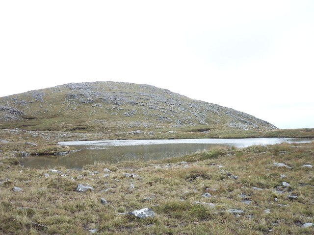
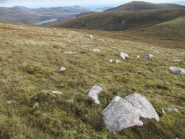
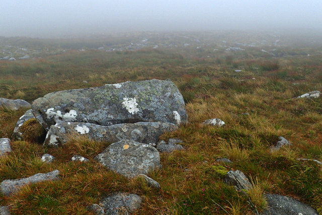
View south towards Beinn Losgaintir View across a small Lochan towards Beinn Losgaintir. This Lochan and flat stony area is actually between Beinn Losgaintir and Beinn Dhubh (which was behind the photographer)
View south towards Beinn Losgaintir Credit: Stuart Fisher

The requested URL returned error: 429 Too Many Requests

If you have any feedback on the listing, please let us know in the comments section below.

Beinn Losgaintir Images

Images are sourced within 2km of 57.894004/-6.9044668 or Grid Reference NG0999. Thanks to Geograph Open Source API. All images are credited.

View south towards Beinn Losgaintir View across a small Lochan towards Beinn Losgaintir. This Lochan and flat stony area is actually between Beinn Losgaintir and Beinn Dhubh (which was behind the photographer)
View south towards Beinn Losgaintir
View across a small Lochan towards Beinn Losgaintir. This Lochan and flat stony area is actually between Beinn Losgaintir and Beinn Dhubh (which was behind the photographer)
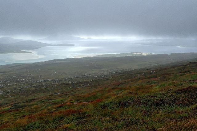
Near Beinn Dhubh looking West towards North Harris View looking in a westerly direction from stony ground between the summit of Beinn Dhubh and Beinn Losgaintir
Near Beinn Dhubh looking West towards North Harris
View looking in a westerly direction from stony ground between the summit of Beinn Dhubh and Beinn Losgaintir
Moorland on Beinn Dhubh, Harris
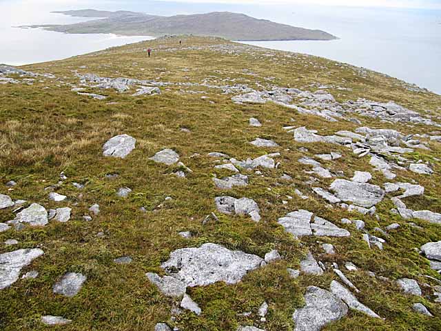
View west from Beinn Dhubh, Harris Looking towards the island of Taransay.
View west from Beinn Dhubh, Harris
Looking towards the island of Taransay.
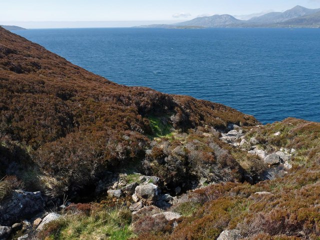
The Uisg a' Ri, Tarcall, Harris Looking across Loch a' Sair towards the mountains of North Harris.
The Uisg a' Ri, Tarcall, Harris
Looking across Loch a' Sair towards the mountains of North Harris.
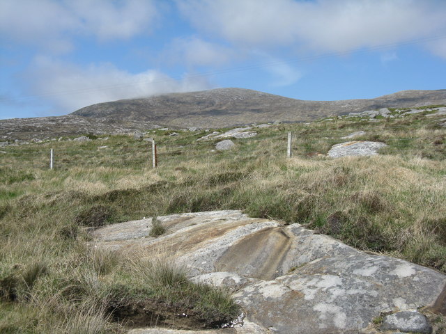
Beinn Dhubh, from the road to Luskentyre Rocky moorland/grassland of the Frith Losgaintir
Beinn Dhubh, from the road to Luskentyre
Rocky moorland/grassland of the Frith Losgaintir
Beinn Dhubh trig point
Tarcall - the hillside west of the stream Uisg a’ Ri
Boulder, south east flank of Beinn Dhubh
View down into Gleann Beinn Dhuibh
West flank of Beinn Losgaintir
On Beinn Dubh On the pass just below the summit. Both  Loch Tarberts can be seen.
On Beinn Dubh
On the pass just below the summit. Both Loch Tarberts can be seen.
Summit Cairn, Beinn Dhubh This is the highest of the hills running along the north side of Traigh Losgaintir. It is well-worth climbing for the superb views.
Summit Cairn, Beinn Dhubh
This is the highest of the hills running along the north side of Traigh Losgaintir. It is well-worth climbing for the superb views.
View North from Beinn Dhubh The hills of north Harris viewed across West Loch Tarbert.
View North from Beinn Dhubh
The hills of north Harris viewed across West Loch Tarbert.
Moorland below Beinn Dhubh This square is entirely rough, heather-clad moorland under the western slopes of Beinn Dhubh.
Moorland below Beinn Dhubh
This square is entirely rough, heather-clad moorland under the western slopes of Beinn Dhubh.
Summit, Beinn Dubh A triangulation pillar in a shelter with a fine view over West Loch Tarbert.  Beinn Dubh, 506m, prominence 493m.
Summit, Beinn Dubh
A triangulation pillar in a shelter with a fine view over West Loch Tarbert. Beinn Dubh, 506m, prominence 493m.
View towards Sron Gunasdail View south west towards Sron Gunasdail showing the steep crags and ravines
View towards Sron Gunasdail
View south west towards Sron Gunasdail showing the steep crags and ravines
Sìdhean Beesdale The northeasterly spur of Ben Luskentyre.  Behind is West Loch Tarbet, and An Cliseam (disappearing into the cloud).
Sìdhean Beesdale
The northeasterly spur of Ben Luskentyre. Behind is West Loch Tarbet, and An Cliseam (disappearing into the cloud).
Show me another place!

Beinn Losgaintir is located at Grid Ref: NG0999 (Lat: 57.894004, Lng: -6.9044668)

Unitary Authority: Na h-Eileanan an Iar

Police Authority: Highlands and Islands

What 3 Words

///link.finalists.limp. Near Tarbert, Na h-Eileanan Siar

Nearby Locations

Beinn Losgaintir

Related Wikis

Luskentyre

Luskentyre (Scottish Gaelic: Losgaintir) is a sparse settlement on the west coast of Harris, in the Outer Hebrides, Scotland. Luskentyre is situated within...

West Loch Tarbert

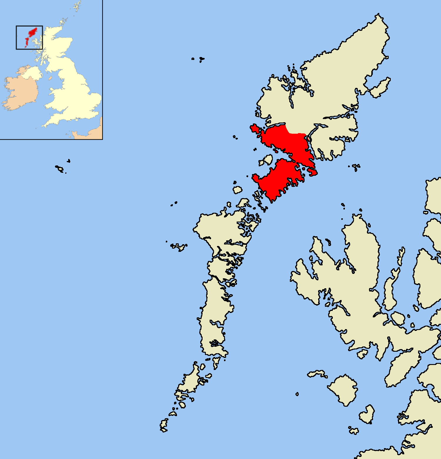
West Loch Tarbert (Scottish Gaelic: Loch A Siar) is a sea loch that separates the northern and southern parts of Harris in the Outer Hebrides of Scotland...

Ardhasaig

Ardhasaig (Scottish Gaelic: Àird Àsaig) is a settlement on the western coast of north Harris, in the Outer Hebrides, Scotland. Ardhasaig is also within...

Harris, Outer Hebrides

Harris (Scottish Gaelic: Na Hearadh, pronounced [nə ˈhɛɾəɣ] ) is the southern and more mountainous part of Lewis and Harris, the largest island in the...

Nearby Amenities

Located within 500m of 57.894004,-6.9044668
Beinn Losgaintir
Ele: 436
Man Made: cairn
Natural: peak
Lat/Long: 57.8916/-6.9047624
The data included in this document is from www.openstreetmap.org. The data is made available under ODbL.

Have you been to Beinn Losgaintir?

Leave your review of Beinn Losgaintir below (or comments, questions and feedback).