Henleaze

Settlement in Gloucestershire

England

Henleaze

Railway bridge over the Muller Road The Muller Road is the major road linking the A38 Gloucester Road and the M32. The railway line runs from Bristol Temple Meads station northwards out of the city to Wales and to Birmingham.
Railway bridge over the Muller Road Credit: Linda Bailey

Henleaze is a suburban area located in the northern region of Bristol, Gloucestershire, England. Situated approximately three miles away from the city center, it is known for its peaceful and family-friendly atmosphere. Henleaze is bordered by Westbury-on-Trym to the west, Golden Hill to the south, and Stoke Bishop to the north.

The area is primarily residential, characterized by a mix of Edwardian and Victorian-style houses, adding to its charm and character. Henleaze boasts several green spaces, including Henleaze Lake, which is a popular spot for leisure activities such as walking, jogging, and picnicking. The lake is home to various species of waterfowl, attracting nature enthusiasts and birdwatchers alike.

Henleaze offers a range of amenities and facilities, making it a desirable place to live. The main shopping area, located along Henleaze Road, features a variety of independent retailers, boutiques, cafes, and restaurants. Additionally, there are several supermarkets, including a large Waitrose, providing convenient shopping options for residents.

Education is well-catered for in Henleaze, with a number of highly regarded schools in the vicinity. These include Henleaze Infant and Junior Schools, which have a strong reputation for academic excellence.

Transport links in Henleaze are excellent, with regular bus services connecting the area to Bristol city center and surrounding neighborhoods. The M5 motorway is easily accessible, providing convenient connections to other parts of the country.

Overall, Henleaze offers a tranquil suburban lifestyle with a strong sense of community, making it an appealing place to live for families and individuals seeking a peaceful yet well-connected location.

If you have any feedback on the listing, please let us know in the comments section below.
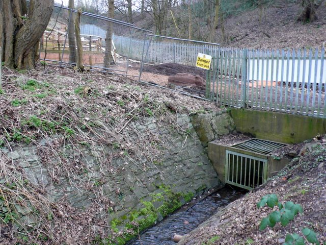
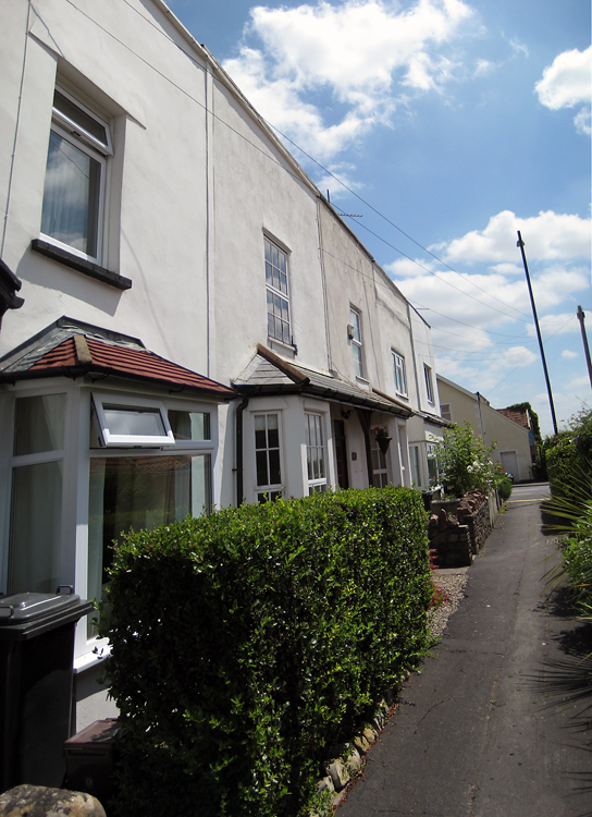
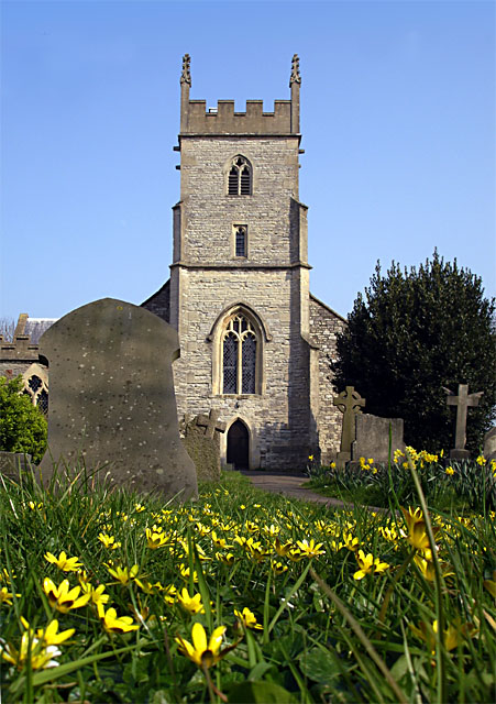
Henleaze Images

Images are sourced within 2km of 51.484335/-2.5974459 or Grid Reference ST5876. Thanks to Geograph Open Source API. All images are credited.

Railway bridge over the Muller Road The Muller Road is the major road linking the A38 Gloucester Road and the M32. The railway line runs from Bristol Temple Meads station northwards out of the city to Wales and to Birmingham.
Railway bridge over the Muller Road
The Muller Road is the major road linking the A38 Gloucester Road and the M32. The railway line runs from Bristol Temple Meads station northwards out of the city to Wales and to Birmingham.
Lockleaze Road Looking east along Lockleaze Road past the blue railings of Filton Avenue Infant School.
Lockleaze Road
Looking east along Lockleaze Road past the blue railings of Filton Avenue Infant School.
Dovercourt Road Looking south down Dovercourt Road, with the Muller Orphanage on the horizon.
Dovercourt Road
Looking south down Dovercourt Road, with the Muller Orphanage on the horizon.
St Werburgh's Church tower. St.Werburgh's Church was relocated stone-by-stone to Mina Road in this district from Corn Street, Bristol in 1879.  The 15th century church no longer serves any religious purpose; it is now the home of the Bristol Climbing Centre and inside has 12 metre high climbing walls, pillars, fins, overhangs and arches.
See also <span class="nowrap"><a title="http://www.churchcrawler.pwp.blueyonder.co.uk/swerbnew.htm" rel="nofollow ugc noopener" href="http://www.churchcrawler.pwp.blueyonder.co.uk/swerbnew.htm">Link</a><img style="margin-left:2px;" alt="External link" title="External link - shift click to open in new window" src="https://s1.geograph.org.uk/img/external.png" width="10" height="10"/></span>
St Werburgh's Church tower.
St.Werburgh's Church was relocated stone-by-stone to Mina Road in this district from Corn Street, Bristol in 1879. The 15th century church no longer serves any religious purpose; it is now the home of the Bristol Climbing Centre and inside has 12 metre high climbing walls, pillars, fins, overhangs and arches. See also LinkExternal link
St Werburghs' Church, St Werburghs. The 15th century St Werburghs' church originally stood in Corn Street in the centre of Bristol.  It was moved to the area in 1879, and the whole district was subsequently named St Werburghs.  It is now a climbing centre.
St Werburghs' Church, St Werburghs.
The 15th century St Werburghs' church originally stood in Corn Street in the centre of Bristol. It was moved to the area in 1879, and the whole district was subsequently named St Werburghs. It is now a climbing centre.
Boiling Wells Lane A house with decorated woodcarvings around the windows on Boiling Wells Lane, St Werburghs.
Boiling Wells Lane
A house with decorated woodcarvings around the windows on Boiling Wells Lane, St Werburghs.
Northern cycling route, Bristol In 2008, Greater Bristol was chosen as England's first official Cycling City, and this is part of a recently-completed section of a major cycling route into the centre of the city from the northern suburbs. It is also the site of Ashley Hill Station, which closed in 1964 after almost exactly 100 years of use. The path on the left crosses under the railway line to Station Lane and Muller Road. Seen from Station Road.
Northern cycling route, Bristol
In 2008, Greater Bristol was chosen as England's first official Cycling City, and this is part of a recently-completed section of a major cycling route into the centre of the city from the northern suburbs. It is also the site of Ashley Hill Station, which closed in 1964 after almost exactly 100 years of use. The path on the left crosses under the railway line to Station Lane and Muller Road. Seen from Station Road.
Open space by Jack Knight House Jack Knight House is a sheltered housing complex. The view is from Petherbridge Way across a valley used by the main line railway as it climbs north from Bristol.
Open space by Jack Knight House
Jack Knight House is a sheltered housing complex. The view is from Petherbridge Way across a valley used by the main line railway as it climbs north from Bristol.
Allotments Off Sir John's Lane
Eco Houses Mina Rd St Werburghs These are a few of the eco houses that have been built on a 2.1 acre site in north central Bristol by the Ashley Vale Action Group.(AVAG) AVAG bought the site which used to belong to Scaffolding Great Britain (SGB) in 2001.The money to buy was raised by selling building plots to self-builders. The original site was completely covered by a concrete slab.The site is bounded by Mina Rd on the west and Boiling Wells Lane on the north. This is the view along the site frontage on Mina Rd. The builders had to adhere to ecological guidelines set out by AVAG
Eco Houses Mina Rd St Werburghs
These are a few of the eco houses that have been built on a 2.1 acre site in north central Bristol by the Ashley Vale Action Group.(AVAG) AVAG bought the site which used to belong to Scaffolding Great Britain (SGB) in 2001.The money to buy was raised by selling building plots to self-builders. The original site was completely covered by a concrete slab.The site is bounded by Mina Rd on the west and Boiling Wells Lane on the north. This is the view along the site frontage on Mina Rd. The builders had to adhere to ecological guidelines set out by AVAG
Boiling Wells Lane, St Werburghs View north west along Boiling Wells Lane towards the short tunnel under the railway. On the right is the Ashley Vale Action Group site which has had a variety of environmental friendly eco houses built on it, mainly by self builders. On the left there are similar houses but not part of the AVAG site. Most of the houses are wooden framed.
Boiling Wells Lane, St Werburghs
View north west along Boiling Wells Lane towards the short tunnel under the railway. On the right is the Ashley Vale Action Group site which has had a variety of environmental friendly eco houses built on it, mainly by self builders. On the left there are similar houses but not part of the AVAG site. Most of the houses are wooden framed.
Boiling Wells Brook This brook runs through the valley of Ashley Vale. At one time the water was piped from here to the city centre in Quay Pipe to a water fountain on the quayside at the Stone Bridge, formerly called St Giles' Bridge, which was the highest point of the Frome navigable by the Severn trows and was known as Quay Head. It was called boiling because of its bubbling nature and not because of its temperature. In the background is the Boiling Wells site of St Werburghs City Farm. This is under construction and will provide an open air amphitheatre.
Boiling Wells Brook
This brook runs through the valley of Ashley Vale. At one time the water was piped from here to the city centre in Quay Pipe to a water fountain on the quayside at the Stone Bridge, formerly called St Giles' Bridge, which was the highest point of the Frome navigable by the Severn trows and was known as Quay Head. It was called boiling because of its bubbling nature and not because of its temperature. In the background is the Boiling Wells site of St Werburghs City Farm. This is under construction and will provide an open air amphitheatre.
B&Q store at Ashley Down
Bargain butties! Very popular bacon bap joint outside B&Q in Ashley Down.
Bargain butties!
Very popular bacon bap joint outside B&Q in Ashley Down.
B&Q store in Ashley Down
Benchmark on Railway Bridge east of Ashley Down Road Photograph taken in fading light of Ordnance Survey cut mark benchmark which is described on the Bench Mark Database at <span class="nowrap"><a title="http://www.bench-marks.org.uk/bm35225" rel="nofollow ugc noopener" href="http://www.bench-marks.org.uk/bm35225">Link</a><img style="margin-left:2px;" alt="External link" title="External link - shift click to open in new window" src="https://s1.geograph.org.uk/img/external.png" width="10" height="10"/></span>.
Benchmark on Railway Bridge east of Ashley Down Road
Photograph taken in fading light of Ordnance Survey cut mark benchmark which is described on the Bench Mark Database at LinkExternal link.
Benchmark on northeastern abutment of Mina Road tunnel Dusk photograph of Ordnance Survey cut mark benchmark which is described on the Bench Mark Database at <span class="nowrap"><a title="http://www.bench-marks.org.uk/bm35226" rel="nofollow ugc noopener" href="http://www.bench-marks.org.uk/bm35226">Link</a><img style="margin-left:2px;" alt="External link" title="External link - shift click to open in new window" src="https://s1.geograph.org.uk/img/external.png" width="10" height="10"/></span>.
Benchmark on northeastern abutment of Mina Road tunnel
Dusk photograph of Ordnance Survey cut mark benchmark which is described on the Bench Mark Database at LinkExternal link.
Show me another place!

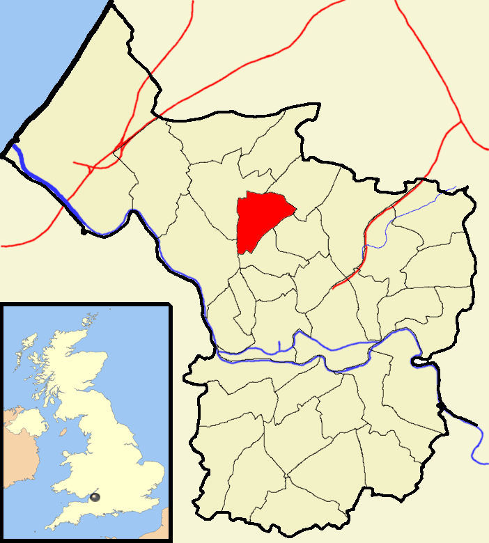
Henleaze is located at Grid Ref: ST5876 (Lat: 51.484335, Lng: -2.5974459)

Unitary Authority: Bristol

Police Authority: Avon and Somerset

What 3 Words

///vivid.tell.late. Near Bristol

Nearby Locations

Golden Hill Henleaze

Related Wikis

Golden Hill, Bristol

Golden Hill is an inner suburb of Bristol, England, lying east of Horfield Common and north-east of Bishopston. Redland and Henleaze are nearby. The housing...

HM Prison Bristol

HMP Bristol (previously known as Horfield Prison) is a Category B men's prison, located in the Horfield area of Bristol. The prison is operated by His...

Henleaze

Henleaze is a northern suburb of the city of Bristol in South West England. It is an almost entirely residential inter-war development, with Edwardian...

Bishopston and Ashley Down

Bishopston and Ashley Down is one of the thirty-four council wards in the city of Bristol in the Southwest of England, United Kingdom. == Bishopston... ==

Church of the Holy Trinity with St Edmund

The Anglican Church of the Holy Trinity with St Edmund is a church on Wellington Hill, Horfield in Bristol, England. It has been designated as a grade...

Bishopston, Bristol

Bishopston is a suburb of the city of Bristol in south west England. Bishopston is around Gloucester Road (A38), the main northern arterial road in the...

The Old Lodge, Bristol

The Old Lodge, also known as the Thatched Cottage and 166 Henleaze Road, is a notable landmark in Henleaze in Bristol, England. According to Reece Winstone...

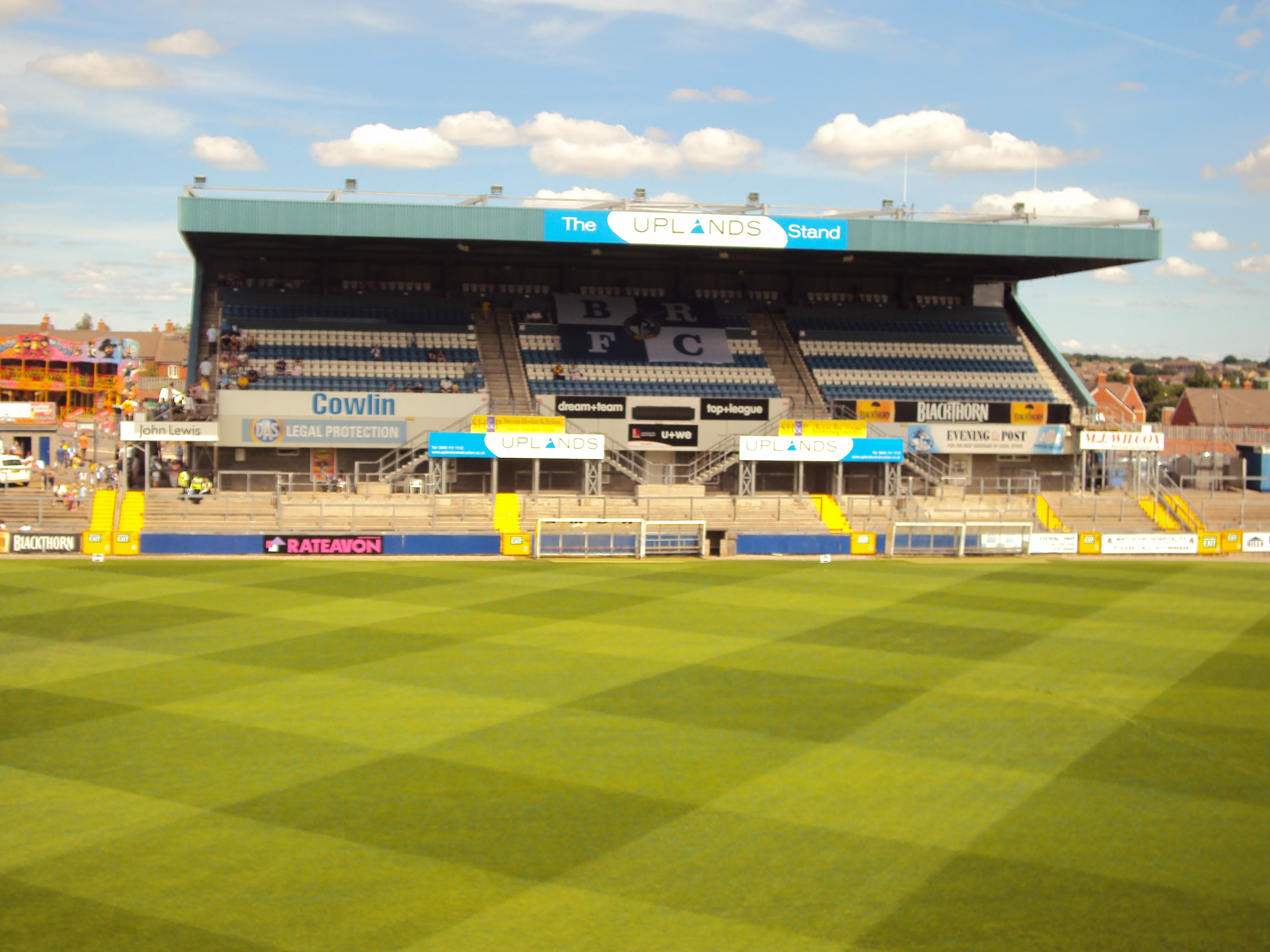
Memorial Stadium (Bristol)

The Memorial Stadium, also commonly known by its previous name of the Memorial Ground, is a sports ground in Bristol, England, and is the home of Bristol...

Nearby Amenities

Located within 500m of 51.484335,-2.5974459
Traffic Signals
Button Operated: yes
Crossing: traffic_signals
Crossing Ref: pelican
Tactile Paving: yes
Traffic Signals Vibration: yes
Lat/Long: 51.4860084/-2.5943106
Turning Circle
Lat/Long: 51.4875402/-2.5945714
Traffic Signals
Button Operated: yes
Crossing: traffic_signals
Crossing Ref: pelican
Tactile Paving: yes
Traffic Signals Vibration: yes
Lat/Long: 51.4861302/-2.5937388
Traffic Calming: bump
Lat/Long: 51.4843104/-2.5936427
Recycling
Location: overground
Operator: The Salvation Army
Recycling Clothes: yes
Recycling Shoes: yes
Recycling Type: container
Lat/Long: 51.4867584/-2.5958188
Post Box
Check Date: 2021-11-16
Collection Times: Mo-Fr 16:15, Sa 10:45
Location: inside
Post Box Type: pillar
Postal Code: BS6
Ref: BS6 448
Royal Cypher: EIIR
Royal Cypher Wikidata: Q33102113
Lat/Long: 51.48589/-2.5955641
Bus Stop
Phoenix Grove
Bench: no
Bin: no
Lit: no
Mapillary: 290692862726472
Naptan AtcoCode: 0100BRP92024
Naptan Bearing: NE
Naptan CommonName: Phoenix Grove
Naptan Crossing: Phoenix Grove
Naptan NaptanCode: bstdwgd
Naptan PlusbusZoneRef: BRSTLTM
Naptan Street: Kellaway Avenue
Naptan Verified: no
Public Transport: platform
Shelter: no
Source: naptan_import
Survey Date: 2020-06-15
Tactile Paving: no
Lat/Long: 51.483564/-2.5991574
Bus Stop
Phoenix Grove (SW-bound)
Bench: yes
Bin: no
Check Date Shelter: 2021-07-27
Lit: yes
Mapillary: 519151199223554
Naptan AtcoCode: 0100BRP92036
Naptan Bearing: SW
Naptan CommonName: Phoenix Grove
Naptan Crossing: Phoenix Grove
Naptan NaptanCode: bstdwdj
Naptan PlusbusZoneRef: BRSTLTM
Naptan Street: Kellaway Avenue
Naptan Verified: no
Note: Stop ID: bstdwdj
Public Transport: platform
Shelter: yes
Source: naptan_import
Survey Date: 2020-06-15
Tactile Paving: yes
Lat/Long: 51.4831938/-2.5994694
Bus Stop
Longmead Avenue
Bench: no
Bin: no
Lit: no
Mapillary: 178741100802831
Naptan AtcoCode: 0100BRP92039
Naptan Bearing: NE
Naptan CommonName: Longmead Avenue
Naptan Crossing: Lansdown Terrace
Naptan NaptanCode: bstgawt
Naptan PlusbusZoneRef: BRSTLTM
Naptan Street: Kellaway Avenue
Naptan Verified: no
Public Transport: platform
Shelter: no
Source: naptan_import
Survey Date: 2020-06-15
Tactile Paving: no
Lat/Long: 51.4854428/-2.5957255
Bus Stop
Longmead Avenue
Bench: yes
Bin: no
Lit: yes
Mapillary: 1202766646820785
Naptan AtcoCode: 0100BRP92040
Naptan Bearing: SW
Naptan CommonName: Longmead Avenue
Naptan Crossing: Longmead Avenue
Naptan NaptanCode: bstgamj
Naptan PlusbusZoneRef: BRSTLTM
Naptan Street: Kellaway Avenue
Naptan Verified: no
Public Transport: platform
Shelter: yes
Source: naptan_import
Survey Date: 2020-06-15
Tactile Paving: yes
Lat/Long: 51.4847102/-2.5965801
Post Box
Collection Times: Mo-Fr 09:00, Sa 07:00
Post Box Type: pillar
Ref: BS6 330D
Royal Cypher: GR
Royal Cypher Wikidata: Q33102273
Lat/Long: 51.4850842/-2.596244
Turning Circle
Lat/Long: 51.4855315/-2.5969359
Turning Circle
Lat/Long: 51.4831412/-2.601533
Traffic Signals
Button Operated: yes
Crossing: traffic_signals
Crossing Ref: pelican
Tactile Paving: yes
Traffic Signals Vibration: yes
Lat/Long: 51.4862161/-2.5941493
Man Made: mast
Lat/Long: 51.4867991/-2.5959234
Post Box
Brand: Royal Mail
Brand Wikidata: Q638098
Brand Wikipedia: en:Royal Mail
Collection Times: Mo-Fr 09:00, Sa 07:00
Operator: Royal Mail
Operator Wikidata: Q638098
Post Box Type: pillar
Postal Code: BS7
Ref: BS6 329
Royal Cypher: GR
Royal Cypher Wikidata: Q33102273
Lat/Long: 51.4826531/-2.6010856
Barrier: cycle_barrier
Cycle Barrier: double
Cycle Barrier Installation: fixed
Lat/Long: 51.4840595/-2.601506
Barrier: bollard
Lat/Long: 51.4855973/-2.5971464
Turning Circle
Lat/Long: 51.4832651/-2.5916149
Turning Circle
Lat/Long: 51.4846769/-2.5947501
Man Made: chimney
Lat/Long: 51.4808717/-2.5929125
Crossing
Button Operated: no
Crossing: traffic_signals
Crossing Island: no
Crossing Ref: zebra
Mapillary: 486030402649485
Survey Date: 2020-06-15
Tactile Paving: yes
Traffic Calming: choker
Traffic Signals Vibration: no
Lat/Long: 51.4851652/-2.5959975
Bicycle Parking
Bicycle Parking: stands
Capacity: 4
Covered: no
Lat/Long: 51.4845979/-2.5967929
Post Box
Collection Times: Mo-Fr 09:00, Sa 07:00
Post Box Type: pillar
Ref: BS9 21
Royal Cypher: GR
Royal Cypher Wikidata: Q33102273
Lat/Long: 51.4865713/-2.6035728
Post Box
Collection Times: Mo-Fr 09:00, Sa 07:00
Post Box Type: pillar
Ref: BS7 366D
Royal Cypher: GR
Royal Cypher Wikidata: Q33102273
Lat/Long: 51.4822022/-2.5934198
Grit Bin
Lat/Long: 51.4831622/-2.5954605
Discovering hedgerows full of history and wildlife
Board Type: nature;history
Check Date: 2023-06-05
Information: board
Tourism: information
Lat/Long: 51.4843719/-2.6026623
Barrier: bollard
Bollard: fixed
Lat/Long: 51.4844649/-2.602794
Bench
Backrest: yes
Check Date: 2021-07-27
Lat/Long: 51.4864867/-2.592931
Grit Bin
Lat/Long: 51.4833859/-2.5939305
Barrier: bollard
Bicycle: yes
Bollard: fixed
Foot: yes
Lat/Long: 51.4835764/-2.5936273
Barrier: bollard
Bicycle: yes
Bollard: fixed
Foot: yes
Lat/Long: 51.4839115/-2.5938179
Waste Basket
Check Date: 2023-01-08
Lat/Long: 51.4842816/-2.5935806
Bench
Lat/Long: 51.4848869/-2.5923151
Bench
Lat/Long: 51.4850562/-2.592903
Bench
Lat/Long: 51.4850998/-2.5926904
Traffic Signals
Button Operated: yes
Crossing: traffic_signals
Crossing Ref: pelican
Tactile Paving: yes
Traffic Signals Vibration: yes
Lat/Long: 51.4851268/-2.5960565
Barrier: cycle_barrier
Bicycle: yes
Cycle Barrier: double
Foot: yes
Lat/Long: 51.4861929/-2.5943132
Atm
Cash In: no
Check Date: 2021-11-16
Operator: Tesco Bank
Lat/Long: 51.485904/-2.595878
Grit Bin
Lat/Long: 51.488257/-2.5956643
Grit Bin
Lat/Long: 51.4850095/-2.6043952
Shop: dry_cleaning
Lat/Long: 51.4857833/-2.5953732
Clock
Check Date: 2021-11-16
Lat/Long: 51.4857237/-2.5962077
Check Date: 2021-08-22
Information: board
Tourism: information
Lat/Long: 51.4821976/-2.5930738
Power: substation
Lat/Long: 51.4853871/-2.6043787
Power: substation
Lat/Long: 51.4875604/-2.6011983
Barrier: bollard
Bicycle: yes
Bollard: fixed
Foot: yes
Lat/Long: 51.4859338/-2.5977716
Bench
Lat/Long: 51.4805865/-2.6011278
Barrier: cycle_barrier
Lat/Long: 51.4848942/-2.5983251
Power: substation
Lat/Long: 51.484833/-2.5975974
Noexit: yes
Lat/Long: 51.4840482/-2.5973029
Trolley Bay
Lat/Long: 51.4863712/-2.5963748
Trolley Bay
Lat/Long: 51.4863529/-2.595803
Trolley Bay
Lat/Long: 51.4862779/-2.5950288
Capacity: 2
Playground: swing
Lat/Long: 51.4856124/-2.5943841
Playground: basketswing
Lat/Long: 51.4856206/-2.5943429
Playground: climbingframe
Lat/Long: 51.485495/-2.5943832
Playground: climbingwall
Lat/Long: 51.4854417/-2.5944475
Playground: roundabout
Lat/Long: 51.4856607/-2.5942493
Playground: structure
Lat/Long: 51.4856989/-2.5941636
Playground: slide
Lat/Long: 51.4855315/-2.5941981
Baby: yes
Capacity: 4
Playground: swing
Lat/Long: 51.4853329/-2.5944657
Playground: slide
Lat/Long: 51.4853441/-2.5943099
Golden Hill
Place: neighbourhood
Wikidata: Q5579553
Lat/Long: 51.4844538/-2.5999756
Waste Basket
Lat/Long: 51.4840504/-2.6015315
Addr Housenumber: 18
Addr Street: Saint Margarets Drive
Building: yes
Fixme: approximate
Lat/Long: 51.4857241/-2.6029028
Bicycle Parking
Capacity: 4
Lat/Long: 51.4853767/-2.5904735
Barrier: bollard
Lat/Long: 51.4852718/-2.593348
Bench
Backrest: yes
Lat/Long: 51.4864086/-2.5925217
Crossing
Button Operated: yes
Crossing: traffic_signals
Crossing Ref: pelican
Tactile Paving: yes
Traffic Signals Vibration: yes
Lat/Long: 51.4859615/-2.5942828
Crossing
Button Operated: yes
Crossing: traffic_signals
Crossing Ref: pelican
Tactile Paving: yes
Traffic Signals Vibration: yes
Lat/Long: 51.4861984/-2.5942332
Toilets
Fee: no
Female: yes
Male: yes
Lat/Long: 51.4858101/-2.5957507
Waste Basket
Lat/Long: 51.4852645/-2.5934024
Horfield Common Community Notices
Information: board
Tourism: information
Lat/Long: 51.485434/-2.5930928
Traffic Calming: choker
Lat/Long: 51.4856126/-2.5981646
Traffic Calming: choker
Lat/Long: 51.4859129/-2.5988867
Cafe
Costa
Addr City: Bristol
Addr Housename: Tesco Stores Ltd
Addr Postcode: BS6 7XW
Addr Street: Lime Trees Road
Addr Suburb: Henleaze
Brand: Costa
Brand Wikidata: Q608845
Brand Wikipedia: en:Costa Coffee
Cuisine: coffee_shop
Fhrs Id: 311414
Source Addr: FHRS Open Data
Takeaway: yes
Lat/Long: 51.4858026/-2.5955938
Bicycle Parking
Bicycle Parking: stands
Capacity: 6
Covered: yes
Lat/Long: 51.4860564/-2.5959612
Bench
Backrest: yes
Lat/Long: 51.4860752/-2.5960021
Waste Basket
Lat/Long: 51.4860957/-2.5960437
Bicycle Parking
Bicycle Parking: stands
Capacity: 6
Covered: yes
Lat/Long: 51.4861074/-2.5960665
Bicycle Parking
Bicycle Parking: stands
Capacity: 8
Covered: yes
Lat/Long: 51.4861612/-2.5961617
Street Lamp
Description: Laurie Crescent Lockdown Lampost
Direction: 180
Lamp Mount: bent_mast
Lamp Type: electric
Ref: 2
Lat/Long: 51.4882633/-2.5957015
Direction: 140
Generator Method: photovoltaic
Generator Output Electricity: yes
Generator Solar Modules: 28
Generator Source: solar
Generator Type: solar_photovoltaic_panel
Location: roof
Power: generator
Lat/Long: 51.4812896/-2.593878
Toilets
Access: yes
Fee: no
Lat/Long: 51.485285/-2.5928069
Cafe
The Cafe on the Common
Addr City: Bristol
Addr Housename: The Ardagh
Addr Postcode: BS6 7YL
Addr Suburb: Henleaze
Diet Gluten Free: yes
Diet Vegan: yes
Dog: yes
Outdoor Seating: yes
Takeaway: yes
Toilets: yes
Toilets Access: yes
Toilets Wheelchair: designated
Wheelchair: yes
Lat/Long: 51.48514/-2.5928604
Crossing
Crossing: unmarked
Crossing Ref: zebra
Tactile Paving: no
Lat/Long: 51.4853677/-2.5941485
Noexit: yes
Lat/Long: 51.4844045/-2.5939935
Traffic Calming: bump
Lat/Long: 51.4859197/-2.5939441
Crossing
Crossing: unmarked
Crossing Island: yes
Crossing Markings: no
Tactile Paving: no
Lat/Long: 51.4863597/-2.5930933
Crossing
Crossing: unmarked
Crossing Island: yes
Crossing Markings: no
Tactile Paving: yes
Lat/Long: 51.4829395/-2.6001314
Direction: 170
Generator Method: photovoltaic
Generator Output Electricity: yes
Generator Solar Modules: 8
Generator Source: solar
Generator Type: solar_photovoltaic_panel
Location: roof
Power: generator
Lat/Long: 51.4837555/-2.5917477
Direction: 210
Generator Method: photovoltaic
Generator Output Electricity: yes
Generator Solar Modules: 8
Generator Source: solar
Generator Type: solar_photovoltaic_panel
Location: roof
Power: generator
Lat/Long: 51.4831342/-2.5910389
Direction: 210
Generator Method: photovoltaic
Generator Output Electricity: yes
Generator Solar Modules: 9
Generator Source: solar
Generator Type: solar_photovoltaic_panel
Location: roof
Power: generator
Lat/Long: 51.4824397/-2.5914302
Direction: 120
Generator Method: photovoltaic
Generator Output Electricity: yes
Generator Solar Modules: 4
Generator Source: solar
Generator Type: solar_photovoltaic_panel
Location: roof
Power: generator
Lat/Long: 51.48244/-2.5913573
Direction: 200
Generator Method: photovoltaic
Generator Output Electricity: yes
Generator Solar Modules: 8
Generator Source: solar
Generator Type: solar_photovoltaic_panel
Location: roof
Power: generator
Lat/Long: 51.4819377/-2.5920099
Direction: 210
Generator Method: photovoltaic
Generator Output Electricity: yes
Generator Solar Modules: 10
Generator Source: solar
Generator Type: solar_photovoltaic_panel
Location: roof
Power: generator
Lat/Long: 51.4820214/-2.593337
Direction: 210
Generator Method: photovoltaic
Generator Output Electricity: yes
Generator Solar Modules: 6
Generator Source: solar
Generator Type: solar_photovoltaic_panel
Location: roof
Power: generator
Lat/Long: 51.4822597/-2.593927
Direction: 210
Generator Method: photovoltaic
Generator Output Electricity: yes
Generator Solar Modules: 7
Generator Source: solar
Generator Type: solar_photovoltaic_panel
Location: roof
Power: generator
Lat/Long: 51.4823192/-2.5941242
Direction: 210
Generator Method: photovoltaic
Generator Output Electricity: yes
Generator Solar Modules: 7
Generator Source: solar
Generator Type: solar_photovoltaic_panel
Location: roof
Power: generator
Lat/Long: 51.4824655/-2.594545
Direction: 210
Generator Method: photovoltaic
Generator Output Electricity: yes
Generator Solar Modules: 11
Generator Source: solar
Generator Type: solar_photovoltaic_panel
Location: roof
Power: generator
Lat/Long: 51.4824591/-2.5936262
Direction: 210
Generator Method: photovoltaic
Generator Output Electricity: yes
Generator Solar Modules: 8
Generator Source: solar
Generator Type: solar_photovoltaic_panel
Location: roof
Power: generator
Lat/Long: 51.4826579/-2.594235
Direction: 160
Generator Method: photovoltaic
Generator Output Electricity: yes
Generator Solar Modules: 7
Generator Source: solar
Generator Type: solar_photovoltaic_panel
Location: roof
Power: generator
Lat/Long: 51.4831341/-2.5946107
Direction: 240
Generator Method: photovoltaic
Generator Output Electricity: yes
Generator Solar Modules: 9
Generator Source: solar
Generator Type: solar_photovoltaic_panel
Location: roof
Power: generator
Lat/Long: 51.4828757/-2.5956161
Direction: 240
Generator Method: photovoltaic
Generator Output Electricity: yes
Generator Solar Modules: 13
Generator Source: solar
Generator Type: solar_photovoltaic_panel
Location: roof
Power: generator
Lat/Long: 51.4828198/-2.5955563
Direction: 240
Generator Method: photovoltaic
Generator Output Electricity: yes
Generator Solar Modules: 8
Generator Source: solar
Generator Type: solar_photovoltaic_panel
Location: roof
Power: generator
Lat/Long: 51.4835778/-2.5962414
Direction: 200
Generator Method: photovoltaic
Generator Output Electricity: yes
Generator Solar Modules: 14
Generator Source: solar
Generator Type: solar_photovoltaic_panel
Location: roof
Power: generator
Lat/Long: 51.4864966/-2.6028303
Direction: 110
Generator Method: photovoltaic
Generator Output Electricity: yes
Generator Solar Modules: 10
Generator Source: solar
Generator Type: solar_photovoltaic_panel
Location: roof
Power: generator
Lat/Long: 51.4866939/-2.6018807
Direction: 200
Generator Method: photovoltaic
Generator Output Electricity: yes
Generator Solar Modules: 17
Generator Source: solar
Generator Type: solar_photovoltaic_panel
Location: roof
Power: generator
Lat/Long: 51.4868762/-2.6003331
Direction: 200
Generator Method: photovoltaic
Generator Output Electricity: yes
Generator Solar Modules: 16
Generator Source: solar
Generator Type: solar_photovoltaic_panel
Location: roof
Power: generator
Lat/Long: 51.4870091/-2.6009232
Direction: 110
Generator Method: photovoltaic
Generator Output Electricity: yes
Generator Solar Modules: 16
Generator Source: solar
Generator Type: solar_photovoltaic_panel
Location: roof
Power: generator
Lat/Long: 51.4870731/-2.6011657
Direction: 110
Generator Method: photovoltaic
Generator Output Electricity: yes
Generator Solar Modules: 16
Generator Source: solar
Generator Type: solar_photovoltaic_panel
Location: roof
Power: generator
Lat/Long: 51.486658/-2.6008912
Direction: 200
Generator Method: photovoltaic
Generator Output Electricity: yes
Generator Solar Modules: 9
Generator Source: solar
Generator Type: solar_photovoltaic_panel
Location: roof
Power: generator
Lat/Long: 51.4872357/-2.600397
Direction: 200
Generator Method: photovoltaic
Generator Output Electricity: yes
Generator Solar Modules: 6
Generator Source: solar
Generator Type: solar_photovoltaic_panel
Location: roof
Power: generator
Lat/Long: 51.4876611/-2.6004451
Direction: 110
Generator Method: photovoltaic
Generator Output Electricity: yes
Generator Solar Modules: 6
Generator Source: solar
Generator Type: solar_photovoltaic_panel
Location: roof
Power: generator
Lat/Long: 51.487681/-2.6003966
Direction: 200
Generator Method: photovoltaic
Generator Output Electricity: yes
Generator Solar Modules: 15
Generator Source: solar
Generator Type: solar_photovoltaic_panel
Location: roof
Power: generator
Lat/Long: 51.4879096/-2.5998788
Direction: 220
Generator Method: photovoltaic
Generator Output Electricity: yes
Generator Source: solar
Generator Type: solar_photovoltaic_panel
Isolation: 8
Location: roof
Power: generator
Lat/Long: 51.4881186/-2.5940459
Direction: 120
Generator Method: photovoltaic
Generator Output Electricity: yes
Generator Source: solar
Generator Type: solar_photovoltaic_panel
Isolation: 16
Location: roof
Power: generator
Lat/Long: 51.487743/-2.5930729
The data included in this document is from www.openstreetmap.org. The data is made available under ODbL.

Have you been to Henleaze?

Leave your review of Henleaze below (or comments, questions and feedback).