Cnoc nan Glas Allt
Hill, Mountain in Ross-shire
Scotland
Cnoc nan Glas Allt
Cnoc nan Glas Allt, located in Ross-shire, Scotland, is a prominent hill/mountain that stands at an elevation of approximately 593 meters (1946 feet). Situated in the northern part of the country, this natural landmark offers stunning panoramic views of the surrounding landscape.
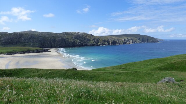
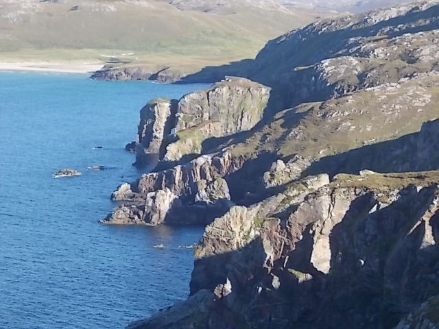
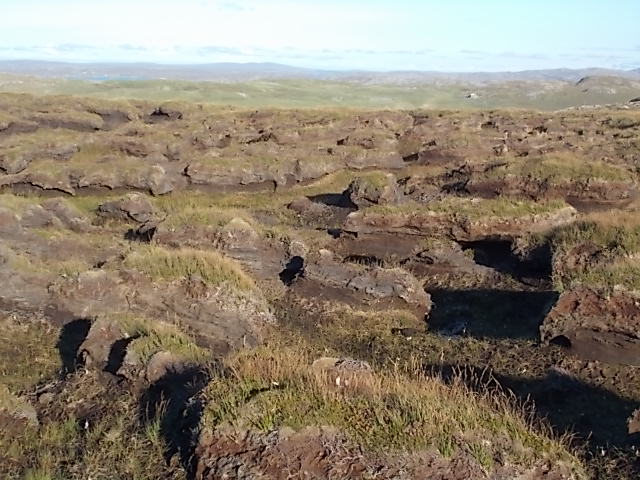
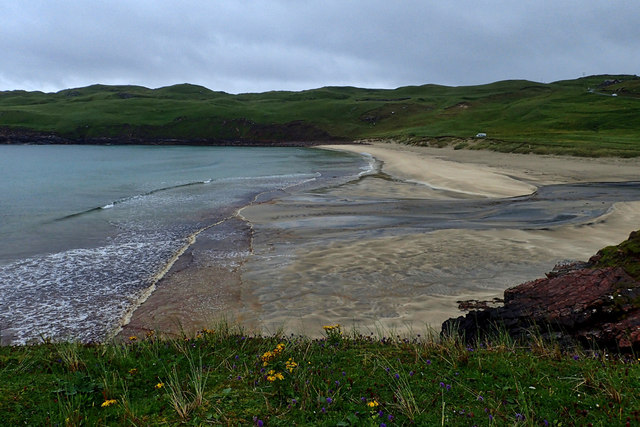
Cnoc nan Glas Allt is part of the Torridon Hills, a range known for its rugged beauty and challenging terrain. The hill/mountain is characterized by its rocky slopes and steep ascents, making it a popular destination for hikers and mountaineers seeking a thrilling adventure.
The summit of Cnoc nan Glas Allt provides an excellent vantage point, offering breathtaking vistas of the nearby Loch Maree and the surrounding mountain ranges, including Beinn Eighe and Liathach. On clear days, it is even possible to catch a glimpse of the Isle of Skye in the distance.
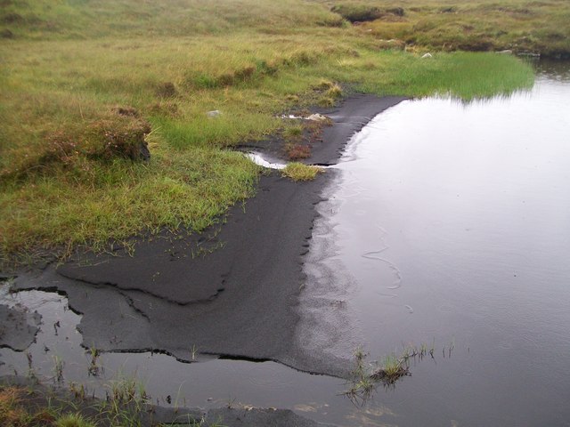
The area surrounding Cnoc nan Glas Allt is rich in flora and fauna, with heather and grasses covering the lower slopes, and hardy alpine plants clinging to the higher rocky sections. Wildlife such as red deer, mountain hares, and various bird species can also be spotted in the vicinity.
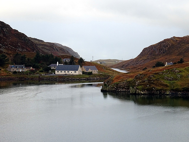
Access to Cnoc nan Glas Allt is typically gained from the nearby village of Kinlochewe, which serves as a starting point for many outdoor enthusiasts. Several well-marked trails lead to the summit, with varying levels of difficulty to cater to different skill levels.
Overall, Cnoc nan Glas Allt is a captivating hill/mountain that showcases the natural beauty and ruggedness of the Scottish Highlands, providing an unforgettable experience for those who venture to its summit.
If you have any feedback on the listing, please let us know in the comments section below.
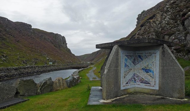
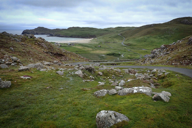
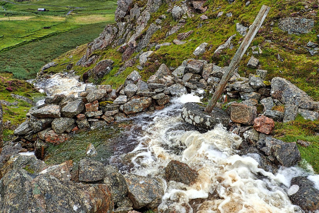
Cnoc nan Glas Allt Images
Images are sourced within 2km of 58.213052/-6.9854465 or Grid Reference NB0735. Thanks to Geograph Open Source API. All images are credited.


Cnoc nan Glas Allt is located at Grid Ref: NB0735 (Lat: 58.213052, Lng: -6.9854465)
Unitary Authority: Na h-Eileanan an Iar
Police Authority: Highlands and Islands
What 3 Words
///reefs.uptown.quintet. Near Carloway, Na h-Eileanan Siar
Related Wikis

Cliff, Lewis
Cliff (Scottish Gaelic: Cliobh) is a small settlement on the Isle of Lewis, in the Outer Hebrides, Scotland. Cliff is within the parish of Uig. The settlement...

Camas Uig
Camas Uig (Uig Bay) is a bay on the west coast of the Isle of Lewis, in the Outer Hebrides of Scotland. The Lewis Chessmen were discovered in the dunes...

Kneep
Kneep (Scottish Gaelic: Cnìp) is a village on the Isle of Lewis, in the Outer Hebrides, Scotland. Kneep is within the parish of Uig.Various archaeological...

Timsgarry
Timsgarry (Scottish Gaelic: Tuimisgearraidh) is a village on the Isle of Lewis, in the Outer Hebrides, Scotland. Timsgarry is home to the Baile na Cille...

Loch na Berie
Loch Na Berie is a broch in the Outer Hebrides of Scotland, located approximately 400 yards from the shore, and is thought to have been located on an island...

Aird Uig
Aird Uig (Scottish Gaelic: Àird Ùig) is a village on the Isle of Lewis, in the Outer Hebrides, Scotland. Aird Uig is within the parish of Uig, and is situated...
Pabaigh Mòr
Pabay Mòr or Pabaigh Mòr is an uninhabited island in the Outer Hebrides of Scotland. == History == The island's name comes from papey, an Old Norse name...
Flodaigh, Lewis
Flodaigh is a small island in Loch Roag on the west coast of Lewis in the Outer Hebrides of Scotland. It is about 33 hectares (82 acres) in extent and...
Nearby Amenities
Located within 500m of 58.213052,-6.9854465Have you been to Cnoc nan Glas Allt?
Leave your review of Cnoc nan Glas Allt below (or comments, questions and feedback).