Sgairidh
Hill, Mountain in Inverness-shire
Scotland
Sgairidh
Sgairidh is a prominent hill located in Inverness-shire, Scotland. Situated in the western part of the county, it is part of the wider mountainous region known as the Scottish Highlands. Sgairidh stands at an impressive height of approximately 838 meters (2,749 feet), making it a notable peak in the area.
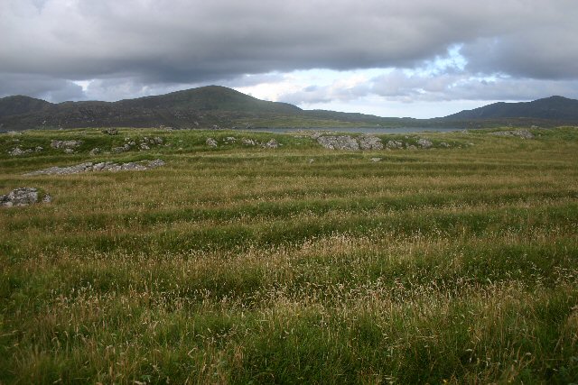
The hill offers breathtaking panoramic views of the surrounding landscapes, including the stunning Glen Strathfarrar to the north and the picturesque Loch Monar to the south. Its location within the Highlands means that it is surrounded by an abundance of natural beauty, with lush greenery, rugged terrain, and captivating wildlife.
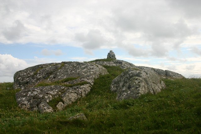
Sgairidh is a popular destination for hikers and outdoor enthusiasts due to its challenging yet rewarding trails. The ascent to the summit can be a demanding hike, but the stunning vistas and the sense of accomplishment make it well worth the effort. The hill is also a haven for nature lovers, as it is home to various species of birds, mammals, and flora that thrive in the mountainous environment.
In terms of accessibility, Sgairidh can be reached by following well-marked paths and trails that start from nearby villages or parking areas. Visitors are advised to come prepared with appropriate hiking gear, including sturdy footwear and weather-resistant clothing, as the weather conditions in the Scottish Highlands can change rapidly.
Overall, Sgairidh in Inverness-shire offers a memorable and rewarding experience for outdoor enthusiasts, with its stunning views, challenging trails, and rich natural diversity.
If you have any feedback on the listing, please let us know in the comments section below.
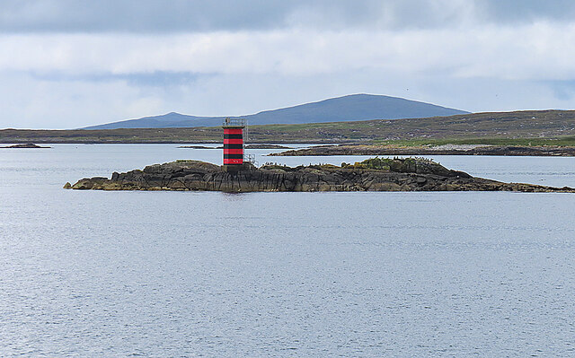
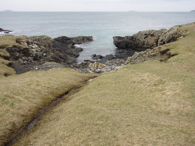
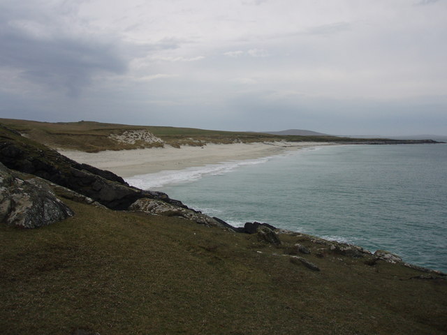
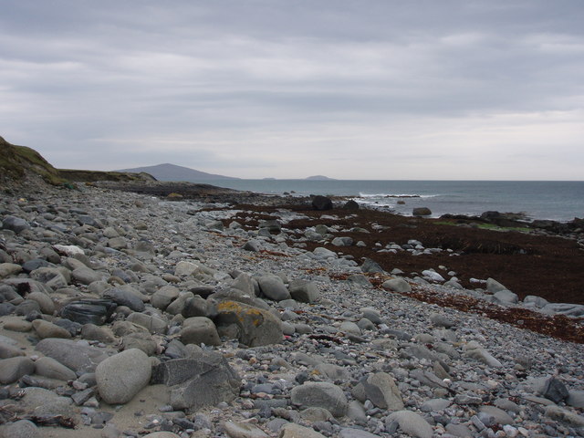
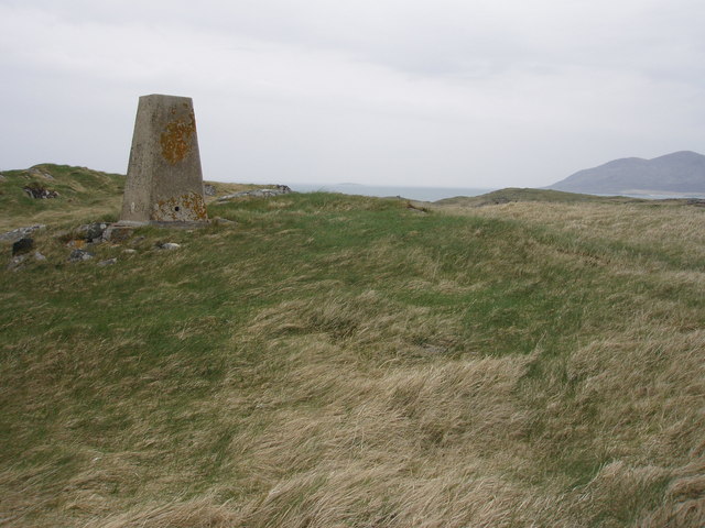
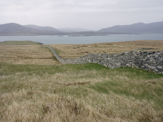
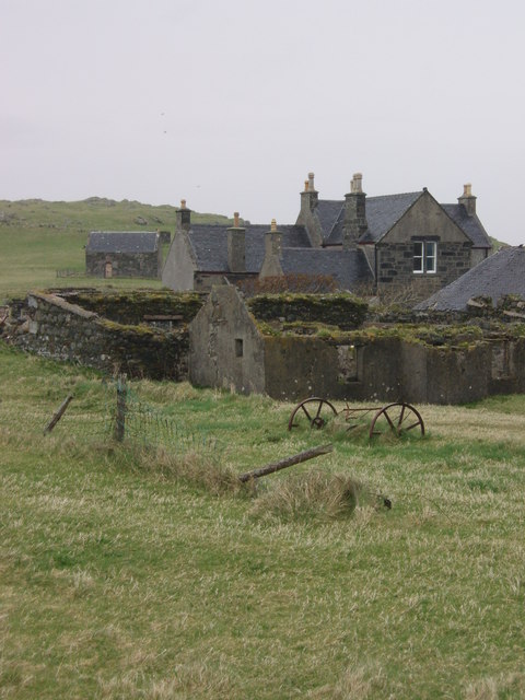
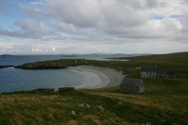
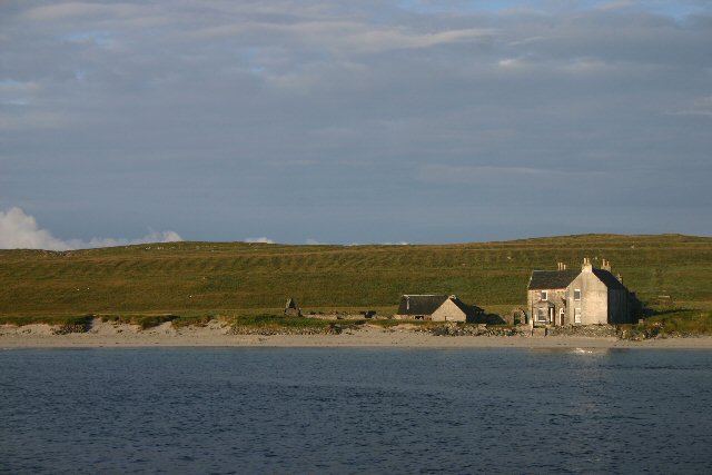
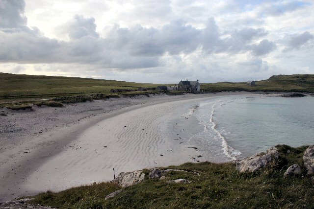
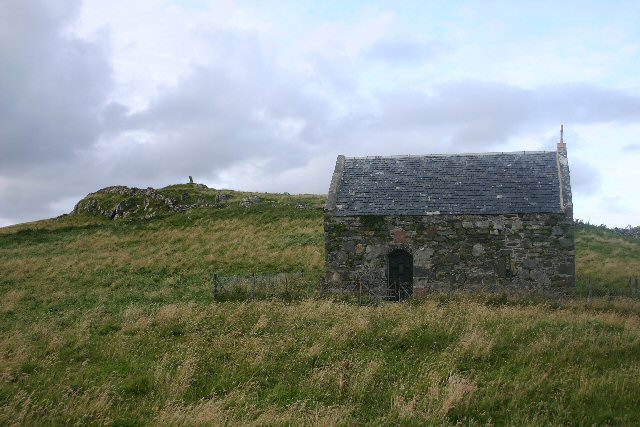
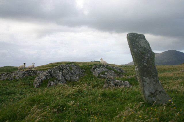
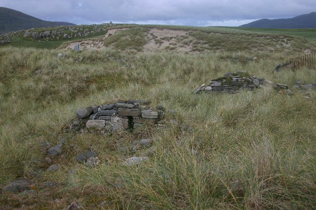
Sgairidh Images
Images are sourced within 2km of 57.754938/-7.0758362 or Grid Reference NF9885. Thanks to Geograph Open Source API. All images are credited.

Sgairidh is located at Grid Ref: NF9885 (Lat: 57.754938, Lng: -7.0758362)
Unitary Authority: Na h-Eileanan an Iar
Police Authority: Highlands and Islands
What 3 Words
///elevator.lavished.nitrate. Near Leverburgh, Na h-Eileanan Siar
Nearby Locations
Related Wikis

Ensay (Outer Hebrides)
Ensay (Gaelic Easaigh) is a currently unpopulated and privately owned island in the Outer Hebrides of Scotland. The island lies in the Sound of Harris...
Killegray
Killegray is an island in the Sound of Harris in the Outer Hebrides of Scotland. == Geography == Situated in the Sound of Harris, a channel of water between...

Outer Hebrides
The Outer Hebrides ( HEB-rid-eez) or Western Isles (Scottish Gaelic: na h-Eileanan Siar [nə ˈhelanən ˈʃiəɾ] , na h-Eileanan an Iar [nə ˈhelanən əɲ ˈiəɾ...

Sound of Harris
The Sound of Harris (Scottish Gaelic: Caolas na Hearadh) is a channel between the islands of Harris and North Uist in the Outer Hebrides of Scotland....

Leverburgh
Leverburgh (Scottish Gaelic: An t-Òb [ən̪ˠ ˈt̪ɔːp]) is the second largest village, after Tarbert, in Harris in the Outer Hebrides of Scotland. Leverburgh...

1990 Scotland RAF Shackleton crash
On 30 April 1990, a Royal Air Force Avro Shackleton AEW Mk II aircraft, of No. 8 Squadron RAF, based at RAF Lossiemouth, crashed into a hill on the Isle...

Roineabhal
Roineabhal is a hill in Harris, in the Western Isles of Scotland. The granite on the summit plateau of the mountain is anorthosite, and is similar in composition...

Rodel
Rodel (Scottish Gaelic: Roghadal) is a village on the south-eastern coast of Harris, an island in the Scottish Outer Hebrides. Rodel is situated in the...
Have you been to Sgairidh?
Leave your review of Sgairidh below (or comments, questions and feedback).