Henfords Marsh
Settlement in Wiltshire
England
Henfords Marsh
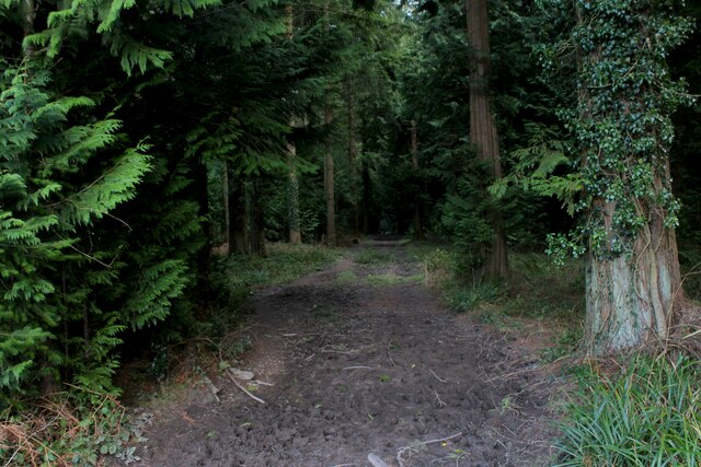
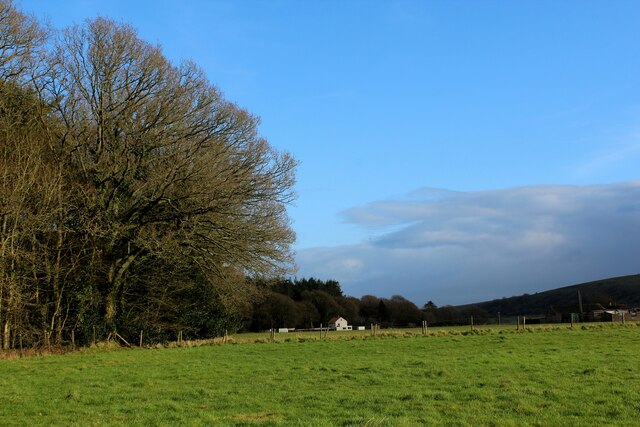
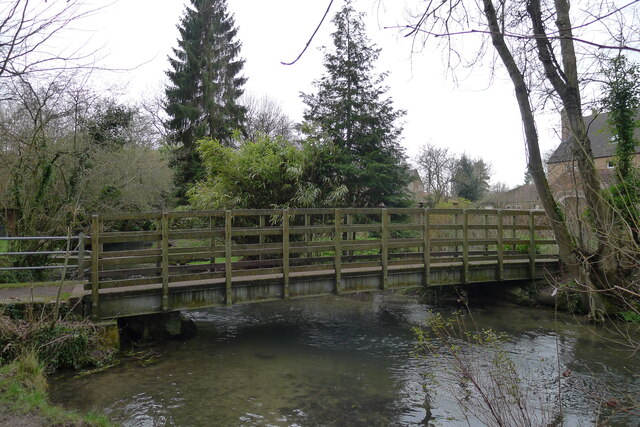
Henfords Marsh is a picturesque area located in the county of Wiltshire, England. Situated on the outskirts of the small village of Codford, this natural haven is renowned for its outstanding beauty and diverse wildlife.
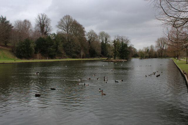
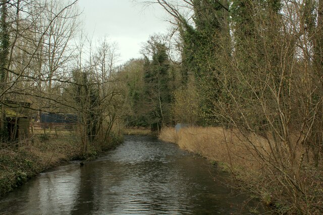
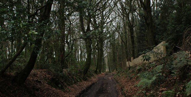
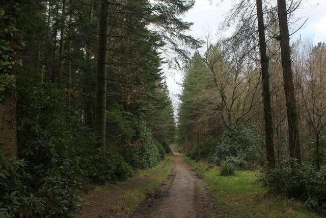
Covering an expansive area of approximately 40 hectares, Henfords Marsh is predominantly composed of wetlands, reed beds, and meadows, making it a valuable habitat for a wide range of plant and animal species. The marsh is fed by several small streams and bordered by woodland, creating a unique and dynamic ecosystem.
The marsh is home to various bird species, including the elusive bittern, which is known for its distinctive booming call. Other notable avian residents include herons, kingfishers, and various ducks and geese. Additionally, the marsh provides an essential breeding ground for several amphibians, such as common frogs and smooth newts.
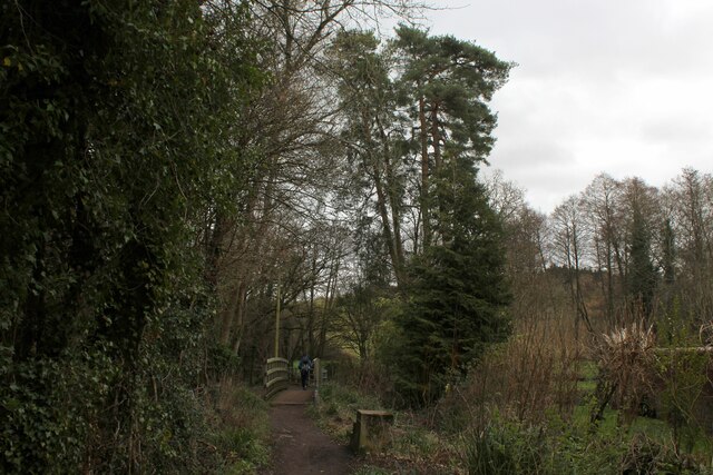
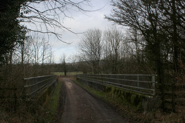
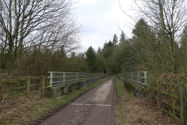
Aside from its ecological importance, Henfords Marsh also offers recreational opportunities for visitors. The area is crisscrossed by a network of footpaths and nature trails, allowing nature enthusiasts to explore the surroundings and observe the wildlife. The tranquil atmosphere and stunning vistas make it an ideal spot for birdwatching, photography, or simply enjoying a peaceful walk in nature.
Henfords Marsh is protected as a Site of Special Scientific Interest (SSSI) due to its ecological significance. The management of the marsh is overseen by local conservation organizations, ensuring the preservation of its unique biodiversity for future generations to appreciate and enjoy.
If you have any feedback on the listing, please let us know in the comments section below.
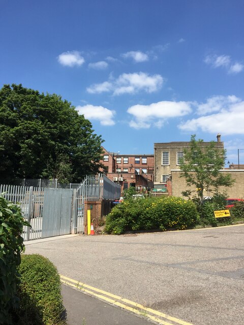
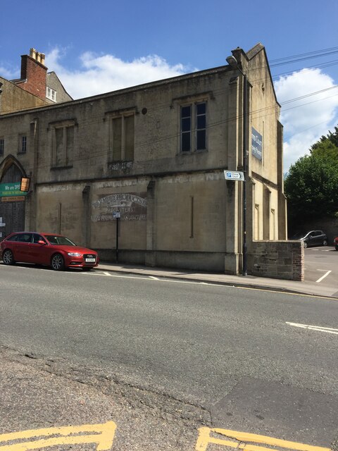
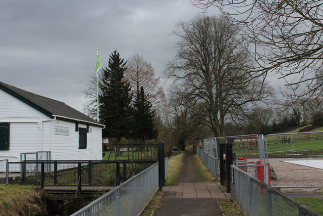
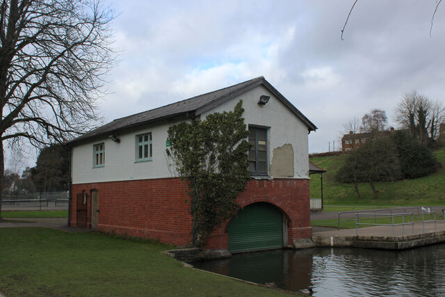
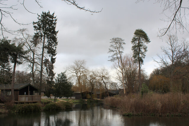
Henfords Marsh Images
Images are sourced within 2km of 51.193677/-2.179425 or Grid Reference ST8743. Thanks to Geograph Open Source API. All images are credited.
Henfords Marsh is located at Grid Ref: ST8743 (Lat: 51.193677, Lng: -2.179425)
Unitary Authority: Wiltshire
Police Authority: Wiltshire
What 3 Words
///test.numeral.kept. Near Warminster, Wiltshire
Nearby Locations
Related Wikis

Christ Church, Warminster
Christ Church is an Anglican church building serving a parish on the southern side of Warminster, Wiltshire, England. == History == The church was built...

Warminster Town F.C.
Warminster Town Football Club are a football club based in Warminster, Wiltshire, England. They are currently members of the Western League Division One...

St John's Church, Warminster
St John's Church, in full the Church of St John the Evangelist, is a Church of England church in the Boreham area in the south-east of the town of Warminster...

Warminster Town Hall
Warminster Town Hall is a former municipal building in the Market Place of Warminster, Wiltshire, England. The structure, which served as the headquarters...
Warminster
Warminster () is a historic market town and civil parish in south-west Wiltshire, England, on the western edge of Salisbury Plain. The parish had a population...

Warminster Athenaeum
Warminster Athenaeum is a Victorian theatre in Warminster, Wiltshire, England, and a Grade II listed building. Built in Jacobean style in 1857/8 to designs...
Kingdown School
Kingdown School is a mixed secondary school and sixth form in Warminster, Wiltshire, England for students aged 11 to 18. Since 1 August 2011, the school...
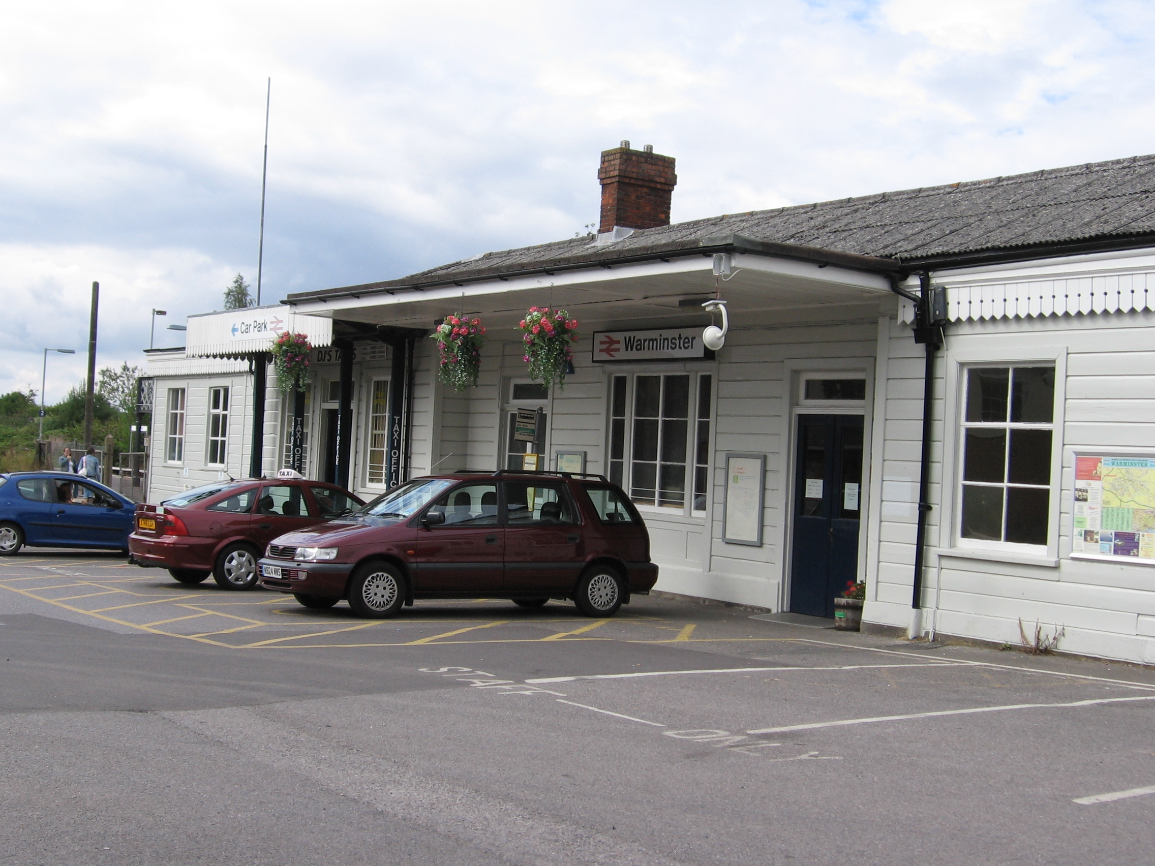
Warminster railway station
Warminster railway station serves the town of Warminster in Wiltshire, England. The station is operated by Great Western Railway and is a main station...
Related Videos

Longleat Center Parcs UK Travel Vlog 2024
Discover the wonderful world of Longleat Center Parcs in my latest Travel vlog 2024! Immerse yourself in the natural beauty and ...
![[ 4K ] CenterParcs Longleat Walking Tour!](https://i.ytimg.com/vi/Hpfg8DLc3-M/hqdefault.jpg)
[ 4K ] CenterParcs Longleat Walking Tour!
Come and walk with me on a beautiful summers day at CenterParcs Longleat UK. Our journey takes us from: 0:00 Plaza 1:20 ...

Center Parcs - Longleat Forest | Lodge Tour | Travel Day | UK Road Trip 2021| Day 8
Today we head to Center Parcs Longleat to start our 5 day stay. We stay in a 3-bed New Style Woodland Lodge. ** Social Links ...
Center Parcs Longleat walking tour
Love a center parcs holiday 🏕️ #centerparcs #holiday #family.
Nearby Amenities
Located within 500m of 51.193677,-2.179425Have you been to Henfords Marsh?
Leave your review of Henfords Marsh below (or comments, questions and feedback).