Henfield

Settlement in Sussex Horsham

England

Henfield

Houses on Nep Town Road
Houses on Nep Town Road Credit: Ian Cunliffe

Henfield is a picturesque village located in the county of Sussex, England. Situated approximately 10 miles north of the coastal city of Brighton and Hove, Henfield is nestled within the beautiful countryside, offering a tranquil and idyllic setting. The village is part of the Horsham District and has a population of around 5,500 residents.

The history of Henfield dates back to the medieval era, with remnants of its past still visible in the form of historic buildings and architecture. The High Street, lined with charming timber-framed houses, serves as the village's social and commercial hub, hosting various independent shops, cafes, and restaurants, which add to the village's charm.

The local community in Henfield is vibrant and close-knit, with several community events and activities taking place throughout the year. The annual Henfield Summer Fair is a highlight, attracting both locals and visitors from surrounding areas. The village also boasts a strong sense of civic pride, with various volunteer-led initiatives and organizations working to enhance the community's well-being.

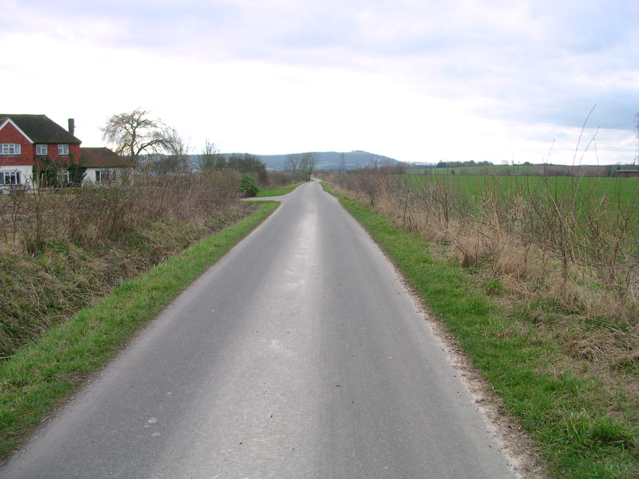
Nature enthusiasts will find plenty to explore in and around Henfield. The village is surrounded by rolling hills, woodlands, and farmland, making it an ideal base for outdoor activities such as walking, cycling, and horse riding. The nearby South Downs National Park offers breathtaking views and numerous trails for nature lovers to enjoy.

Overall, Henfield is a quintessential English village that combines rich history, natural beauty, and a strong sense of community. Its rural charm and proximity to larger towns and cities make it an attractive place to live or visit for those seeking a peaceful and picturesque setting.

If you have any feedback on the listing, please let us know in the comments section below.
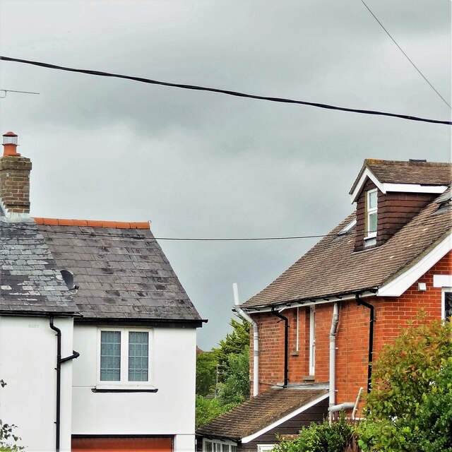
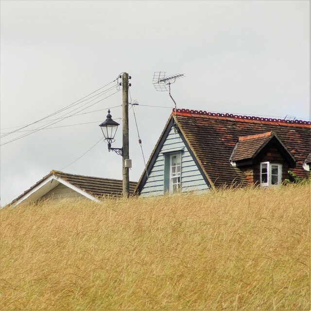
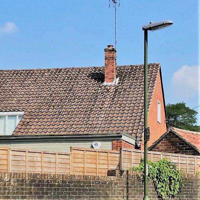
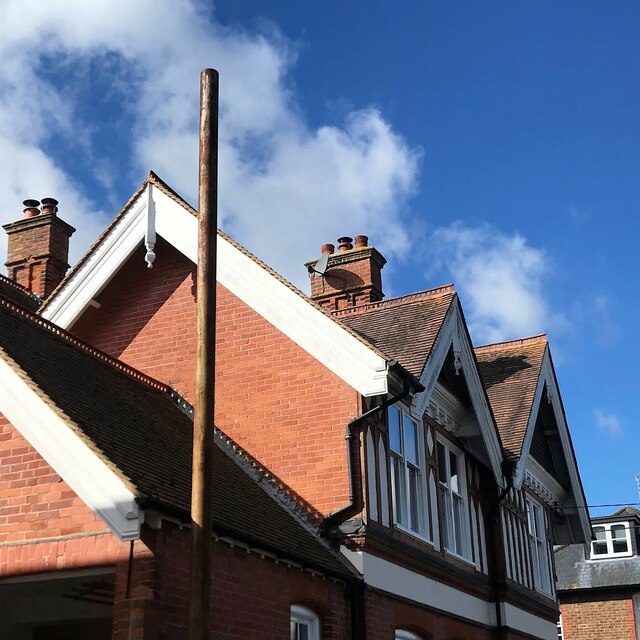
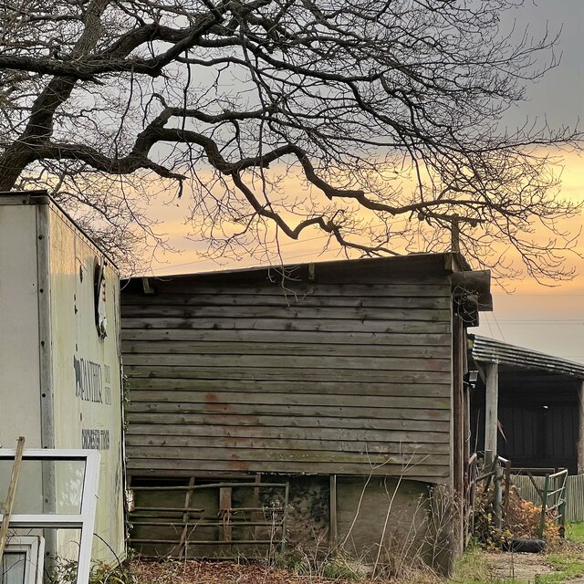
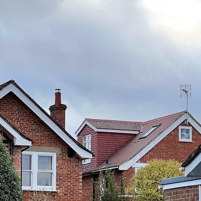
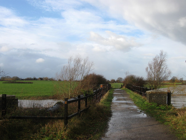
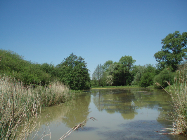
Henfield Images

Images are sourced within 2km of 50.931855/-0.272237 or Grid Reference TQ2116. Thanks to Geograph Open Source API. All images are credited.

Houses on Nep Town Road
New house near the bottom of Windmill Lane A small barn or outbuilding stood here before. Some kind of conversion has taken place.
New house near the bottom of Windmill Lane
A small barn or outbuilding stood here before. Some kind of conversion has taken place.
House on King James's Lane
House on Nep Town Road
Wild angelica - Angelica sylvestris This is not a particularly common plant in Sussex, compared with other umbellifers such as hogweed and cow parsley - but it grows hereabouts in abundance.
Wild angelica - Angelica sylvestris
This is not a particularly common plant in Sussex, compared with other umbellifers such as hogweed and cow parsley - but it grows hereabouts in abundance.
White dead-nettle leaves by Furners Lane
House on Nep Town Road
Rose hips by the disused railway track
Leaves by the footpath
Grapes on the Lydds There is a small vineyard here with enough grapes (in a good year) to make quite a few bottles of wine.
Grapes on the Lydds
There is a small vineyard here with enough grapes (in a good year) to make quite a few bottles of wine.
View WSW over the Adur floodplain It has rained a fair bit recently, but this flooding is normal here in autumn and winter. Chanctonbury Ring can be seen in the distance on the left.
View WSW over the Adur floodplain
It has rained a fair bit recently, but this flooding is normal here in autumn and winter. Chanctonbury Ring can be seen in the distance on the left.
Teasel - Dipsacus fullonum
Grass leaves and stems near Little Barn I think this is Reed sweet-grass (Glyceria maxima). The land hereabouts is subject to periodic flooding.
Grass leaves and stems near Little Barn
I think this is Reed sweet-grass (Glyceria maxima). The land hereabouts is subject to periodic flooding.
Autumn leaves on Nep Town Road
Rainbow over Henfield cricket field
Outbuildings near Stonelands Farm
Antique shop interior - Henfield High Street
Houses on Hewitts and Nep Town Road
Show me another place!

Henfield is located at Grid Ref: TQ2116 (Lat: 50.931855, Lng: -0.272237)

Administrative County: West Sussex

District: Horsham

Police Authority: Sussex

What 3 Words

///blatantly.sprinter.throw. Near Henfield, West Sussex

Nearby Locations

Henfield

Related Wikis

St Peter's Church, Henfield

St Peter's Church is a Church of England parish church in the large village of Henfield, West Sussex. Placed on the site of an 8th-century Saxon church...

Henfield

Henfield is a large village and civil parish in the Horsham District of West Sussex, England. It lies 41 miles (66 km) south of London, 12 miles (19 km...

Henfield railway station

Henfield was a railway station on the Steyning Line which served the village of Henfield. It was equipped with a siding which received coal to serve the...

Betley Bridge

Betley Bridge is a disused railway bridge, now a rail trail bridge, which crosses the confluence of the East and West Adur rivers North of Henfield in...

Woodmancote, Horsham District

Woodmancote is a village and civil parish in the Horsham District of West Sussex, England. The village is 1 mile (1.5 km) southeast of Henfield on the...

Woods Mill

Woods Mill is a 19-hectare (47-acre) nature reserve south of Henfield in West Sussex. It is managed by the Sussex Wildlife Trust.This is the headquarters...

Sussex Greensand Way

The Sussex Greensand Way is a Roman road that runs east-west linking the London to Lewes Way at Barcombe Mills to Stane Street at Hardham. The road, which...

Blackstone, West Sussex

Blackstone is a hamlet in the civil parish of Woodmancote and the Horsham district of West Sussex, England. Blackstone is significant for its listed...

Nearby Amenities

Located within 500m of 50.931855,-0.272237
Mini Roundabout
Direction: clockwise
Lat/Long: 50.92843/-0.2721211
Turning Circle
Lat/Long: 50.9330175/-0.270611
Turning Circle
Lat/Long: 50.9281548/-0.2748218
Noexit: yes
Lat/Long: 50.9329558/-0.272972
Turning Circle
Lat/Long: 50.9313785/-0.2782244
Turning Circle
Lat/Long: 50.9320115/-0.2784094
Turning Circle
Lat/Long: 50.9334093/-0.2736141
Turning Circle
Lat/Long: 50.9359513/-0.2721455
Henfield
Place: village
Wikidata: Q847159
Wikipedia: en:Henfield
Lat/Long: 50.9307373/-0.2749869
Turning Loop
Lat/Long: 50.9324849/-0.2783624
Bench
Lat/Long: 50.9286819/-0.2700686
Power: pole
Lat/Long: 50.9315001/-0.2657691
Power: pole
Lat/Long: 50.931602/-0.2665955
Bench
Lat/Long: 50.928627/-0.2712835
Barrier: bollard
Lat/Long: 50.9287172/-0.2709873
Noexit: yes
Lat/Long: 50.9327358/-0.2726207
Traffic Signals
Crossing: traffic_signals
Crossing Island: no
Kerb: lowered
Tactile Paving: yes
Lat/Long: 50.931777/-0.272207
Crossing
Crossing: unmarked
Crossing Island: yes
Kerb: lowered
Tactile Paving: yes
Lat/Long: 50.9285714/-0.2720986
Traffic Signals
Crossing: traffic_signals
Crossing Island: no
Kerb: lowered
Tactile Paving: yes
Lat/Long: 50.9300072/-0.2724363
Barrier: bollard
Lat/Long: 50.9297639/-0.2726417
Crossing
Crossing: unmarked
Crossing Island: yes
Kerb: lowered
Tactile Paving: yes
Lat/Long: 50.930704/-0.272301
Post Box
Collection Times: Mo-Fr 09:00; Sa 07:00
Operator: Royal Mail
Post Box Mounting: brick_wall
Post Box Type: wall
Ref: BN5 1365D
Royal Cypher: EIIR
Royal Cypher Wikidata: Q33102113
Lat/Long: 50.9286912/-0.2720263
Post Box
Collection Times: Mo-Fr 09:00; Sa 07:00
Operator: Royal Mail
Post Box Mounting: pier
Post Box Type: lamp
Ref: BN5 1369D
Royal Cypher: EIIR
Royal Cypher Wikidata: Q33102113
Lat/Long: 50.9298019/-0.278536
Barrier: cycle_barrier
Foot: yes
Lat/Long: 50.9331838/-0.2774386
Post Box
Collection Times: Mo-Fr 09:00; Sa 07:00
Operator: Royal Mail
Post Box Mounting: pier
Post Box Type: lamp
Ref: BN5 1372D
Royal Cypher: EIIR
Royal Cypher Wikidata: Q33102113
Lat/Long: 50.9344282/-0.2745804
Post Box
Collection Times: Mo-Fr 17:00; Sa 12:15
Operator: Royal Mail
Post Box Type: pillar
Ref: BN5 1371
Royal Cypher: GVIR
Royal Cypher Wikidata: Q33102169
Lat/Long: 50.9312114/-0.2724347
Barrier: bollard
Lat/Long: 50.9299973/-0.2759556
Barrier: bollard
Bollard: fixed
Lat/Long: 50.9317554/-0.2724241
Power: pole
Lat/Long: 50.9307585/-0.2689982
Power: pole
Lat/Long: 50.9313519/-0.2673095
Bench
Lat/Long: 50.9339165/-0.277785
Bench
Lat/Long: 50.9338178/-0.2777682
Ford: yes
Lat/Long: 50.9284234/-0.2697804
Entrance: yes
Lat/Long: 50.9321161/-0.2726385
Barrier: bollard
Lat/Long: 50.9338102/-0.273694
Traffic Calming: bump
Lat/Long: 50.9352866/-0.2767222
Artwork Type: sculpture
Material: wood
Tourism: artwork
Lat/Long: 50.9347105/-0.2770047
Bus Stop
Henfield High Street
Bus: yes
Naptan AtcoCode: 4400HR0399
Naptan Bearing: S
Naptan CommonName: High Street
Naptan Landmark: High Street
Naptan NaptanCode: wsxawgpj
Naptan Street: High Street
Naptan Verified: no
Public Transport: platform
Lat/Long: 50.9305059/-0.2722915
Bus Stop
Henfield High Street
Bus: yes
Naptan AtcoCode: 4400HR0402
Naptan Bearing: N
Naptan CommonName: High Street
Naptan Indicator: adj
Naptan Landmark: High Street
Naptan NaptanCode: wsxawgpw
Naptan Street: High Street
Naptan Verified: no
Public Transport: platform
Lat/Long: 50.9311522/-0.2723736
Bus Stop
Furners Lane
Bus: yes
Naptan AtcoCode: 4400HR0401
Naptan Bearing: S
Naptan CommonName: Furners Lane
Naptan Indicator: adj
Naptan Landmark: Furners Lane
Naptan NaptanCode: wsxawgpt
Naptan Street: High Street
Naptan Verified: no
Public Transport: platform
Lat/Long: 50.9326778/-0.2720565
Bus Stop
Furners Lane
Bus: yes
Naptan AtcoCode: 4400HR0400
Naptan Bearing: N
Naptan CommonName: Furners Lane
Naptan Indicator: opp
Naptan Landmark: Furners Lane
Naptan NaptanCode: wsxawgpm
Naptan Street: High Street
Naptan Verified: no
Public Transport: platform
Lat/Long: 50.9322945/-0.2722181
Bus Stop
Golden Square
Bus: yes
Naptan AtcoCode: 4400HR0398
Naptan Bearing: NW
Naptan CommonName: Golden Square
Naptan Indicator: adj
Naptan Landmark: Golden Square
Naptan NaptanCode: wsxawgpg
Naptan Street: High Street
Naptan Verified: no
Public Transport: platform
Source: naptan_import
Lat/Long: 50.9286638/-0.2720109
Bus Stop
Golden Square
Bus: yes
Naptan AtcoCode: 4400HR0397
Naptan Bearing: NW
Naptan CommonName: Golden Square
Naptan Indicator: adj
Naptan Landmark: Golden Square
Naptan NaptanCode: wsxawgpd
Naptan Street: High Street
Naptan Verified: no
Public Transport: platform
Source: naptan_import
Lat/Long: 50.9291244/-0.2723126
Bus Stop
Manor Way
Bus: yes
Naptan AtcoCode: 4400HR0386
Naptan Bearing: S
Naptan CommonName: Manor Way
Naptan Indicator: adj
Naptan Landmark: Manor Way
Naptan NaptanCode: wsxawgjp
Naptan Street: London Road
Naptan Verified: no
Public Transport: platform
Lat/Long: 50.9348943/-0.2720524
Bus Stop
Manor Way
Bus: yes
Naptan AtcoCode: 4400HR0387
Naptan Bearing: N
Naptan CommonName: Manor Way
Naptan Indicator: opp
Naptan Landmark: Manor Way
Naptan NaptanCode: wsxawgjt
Naptan Street: London Road
Naptan Verified: no
Public Transport: platform
Lat/Long: 50.9348825/-0.2721617
The data included in this document is from www.openstreetmap.org. The data is made available under ODbL.

Have you been to Henfield?

Leave your review of Henfield below (or comments, questions and feedback).