Beinn Hough

Hill, Mountain in Argyllshire

Scotland

Beinn Hough

Road junction, Balevullin
Road junction, Balevullin Credit: Richard Webb

Beinn Hough, located in Argyllshire, Scotland, is a prominent hill/mountain that stands at an elevation of 475 meters (1,558 feet). It is situated approximately 3 kilometers northeast of Arrochar and around 50 kilometers northwest of Glasgow. The name "Beinn Hough" originates from the Gaelic language and translates to "hill of the cave."

Beinn Hough is part of the Arrochar Alps, a range of Munros (mountains in Scotland over 3,000 feet) that attract outdoor enthusiasts and hikers. The hill/mountain offers stunning panoramic views of the surrounding area, including the picturesque Loch Long and the neighboring peaks of The Cobbler and Beinn Ime.

The ascent to Beinn Hough is relatively moderate, with various well-marked trails leading to its summit. The most common starting point for hikers is Arrochar, where there is ample parking available. From there, a path winds its way up the hill, passing through heather-covered slopes and rocky terrain. As climbers progress, they are rewarded with breathtaking vistas of the Scottish countryside.

The summit of Beinn Hough provides a fantastic vantage point, offering unobstructed views of Loch Lomond and the Trossachs National Park to the east, and the Firth of Clyde to the west. On clear days, it is even possible to see as far as the Isle of Arran in the distance.

Beinn Hough is a popular destination for both experienced hikers and beginners seeking to explore the natural beauty of the Scottish Highlands. Its accessibility, combined with its stunning views, make it a must-visit location for outdoor enthusiasts in Argyllshire.

If you have any feedback on the listing, please let us know in the comments section below.
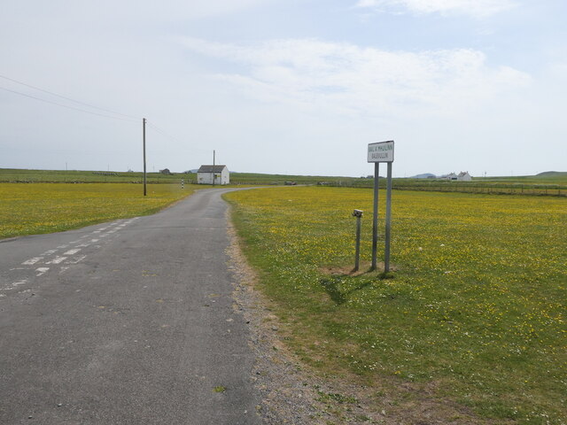
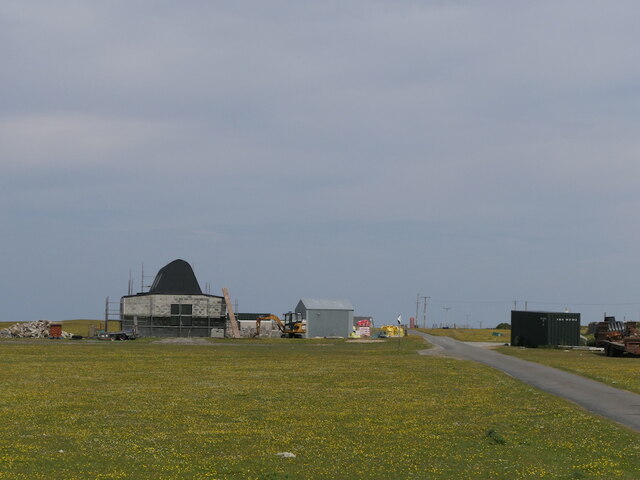
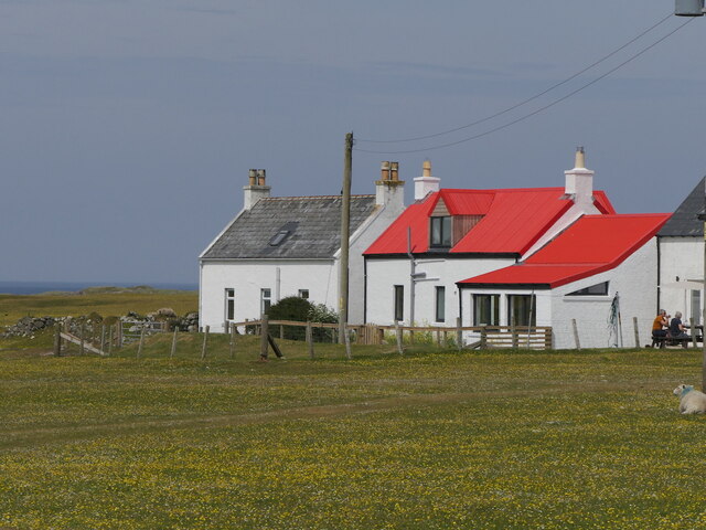
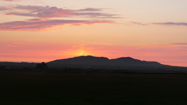
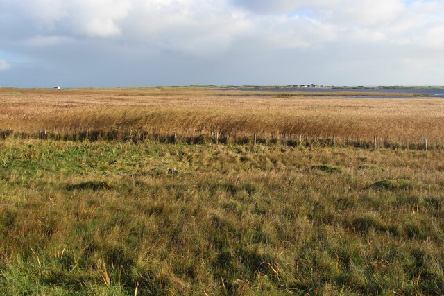
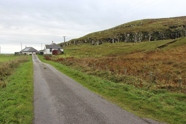
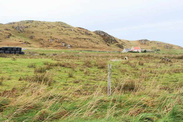
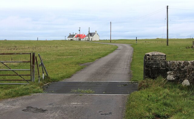
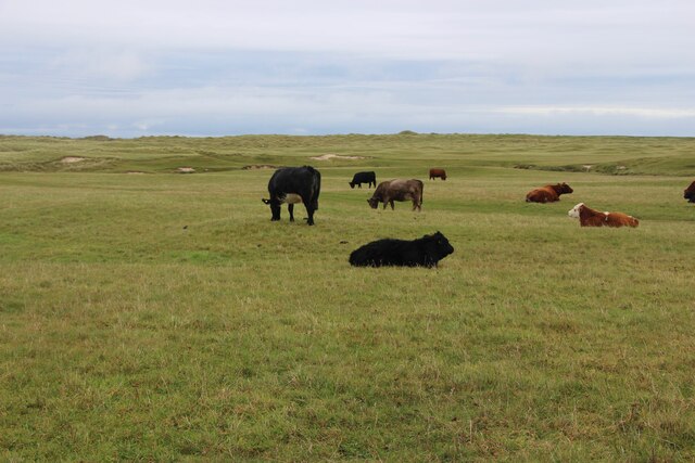
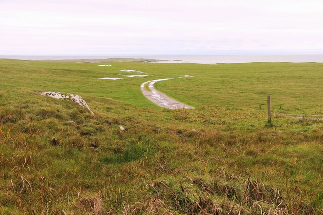
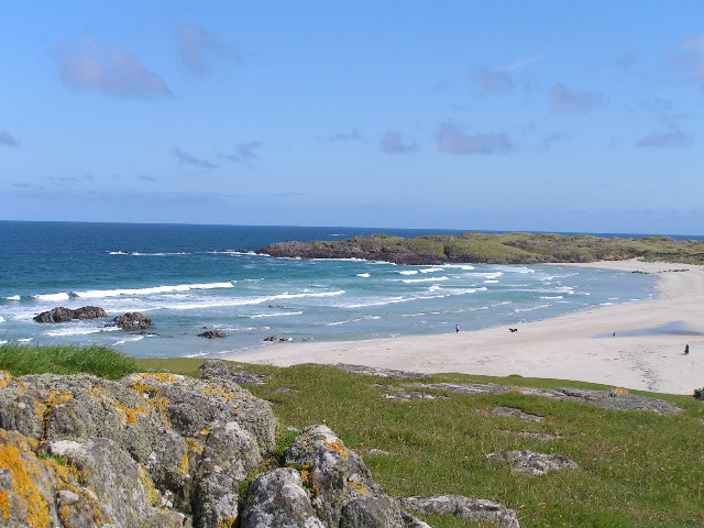
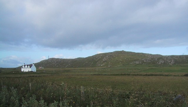
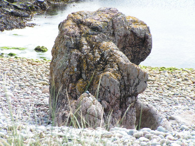
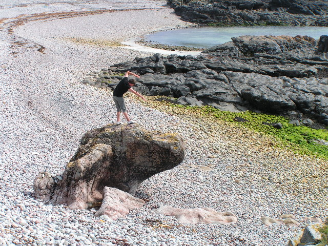
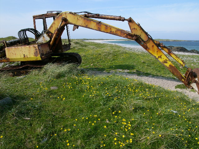
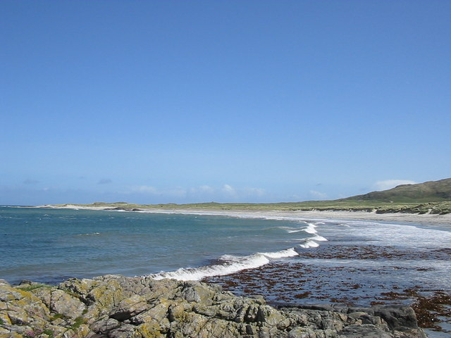
Beinn Hough Images

Images are sourced within 2km of 56.508885/-6.9622065 or Grid Reference NL9446. Thanks to Geograph Open Source API. All images are credited.

Road junction, Balevullin
Construction, Balevulin Renovation and extension of a cottage with a traditional Tiree roof.
Construction, Balevulin
Renovation and extension of a cottage with a traditional Tiree roof.
Balevullin
Balevullin
Sun pillar, Beinn Hough Taken after 11pm looking not far off north.
Sun pillar, Beinn Hough
Taken after 11pm looking not far off north.
Tur MhicChaluim Memorial cairn to the Reverend Donald MacCallum.
A stone embedded in the cairn (not visible in this photograph) reads

TUR MHICCHALUIM
1 JULY 1889

Beneath that stone, a brass plaque reads

IN MEMORY OF
REV. DONALD MACCALLUM
BORN CRAIGNISH ARGYLL 9TH OCTOBER 1849
MINISTER OF HYLIPOL TYREE
DEC 1887 – AUG 1889
DIED 23RD APRIL 1929 AT GLENDALE SKYE
INTERRED IN GLENDALE CEMETERY
LIKE THE BIBLICAL PROPHETS
HE TOOK UP THE CAUSE OF THE OPPRESSED
AND WAS CHIEF LEADER OF THE
LAND LEAGUE MOVEMENT OF THE TIME

In the distance beyond the cairn can be seen, left to right, Ben Hynish, Loch a' Phuill, and Beinn Ceann a' Mhara.
Tur MhicChaluim
Memorial cairn to the Reverend Donald MacCallum. A stone embedded in the cairn (not visible in this photograph) reads TUR MHICCHALUIM 1 JULY 1889 Beneath that stone, a brass plaque reads IN MEMORY OF REV. DONALD MACCALLUM BORN CRAIGNISH ARGYLL 9TH OCTOBER 1849 MINISTER OF HYLIPOL TYREE DEC 1887 – AUG 1889 DIED 23RD APRIL 1929 AT GLENDALE SKYE INTERRED IN GLENDALE CEMETERY LIKE THE BIBLICAL PROPHETS HE TOOK UP THE CAUSE OF THE OPPRESSED AND WAS CHIEF LEADER OF THE LAND LEAGUE MOVEMENT OF THE TIME In the distance beyond the cairn can be seen, left to right, Ben Hynish, Loch a' Phuill, and Beinn Ceann a' Mhara.
Reed-beds that border Loch Bhasapoll
Two houses below Cnoc an Fhithich
Hough, a farm below Beinn Hough
Cattle grid at Sràid Ruadh
Cattle grazing at Sràid Ruadh
Track across the machair to Traigh Hough
The boggy moor of Moss
Traigh Bail, Tiree
Traigh Bail, Tiree
Ben Hough WWII Chain Home Low radar station on right hand peak and CAA radio station on left hand peak
Ben Hough
WWII Chain Home Low radar station on right hand peak and CAA radio station on left hand peak
is it a dog? interesting rock structure
is it a dog?
interesting rock structure
Steep shingle beach some interesting rock structures
Steep shingle beach
some interesting rock structures
Hough Bay and Traigh Hough, Tiree (with late 20th. cent. artefact) And the locals complain about the impact of tourism! Presumably, this is one that got away, from The Turner Art Gallery!
Hough Bay and Traigh Hough, Tiree (with late 20th. cent. artefact)
And the locals complain about the impact of tourism! Presumably, this is one that got away, from The Turner Art Gallery!
Hough Bay
Hough Bay
Show me another place!

Beinn Hough is located at Grid Ref: NL9446 (Lat: 56.508885, Lng: -6.9622065)

Unitary Authority: Argyll and Bute

Police Authority: Argyll and West Dunbartonshire

What 3 Words

///blotchy.crimson.wasp. Near Scarinish, Argyll & Bute

Related Wikis

Tiree Music Festival

Tiree Music Festival is a Scottish folk music festival held annually on the Island of Tiree in the Inner Hebrides. The festival was founded in 2010 by...

Tiree Airport

Tiree Airport (Scottish Gaelic: Port-adhair Thiriodh) (IATA: TRE, ICAO: EGPU) is located 2.5 nautical miles (4.6 km; 2.9 mi) north northeast of Balemartine...

Mannal

Mannal is a coastal hamlet on the west side of Hynish Bay, on the island of Tiree, Scotland. The township of Mannal lies on the southwest corner of Tiree...

Tiree

Tiree (; Scottish Gaelic: Tiriodh, pronounced [ˈtʲʰiɾʲəɣ]) is the most westerly island in the Inner Hebrides of Scotland. The low-lying island, southwest...

Nearby Amenities

Located within 500m of 56.508885,-6.9622065
Beinn Hough
Ele: 119
Name Gd: Beinn Hògh
Natural: peak
Source: npe
Lat/Long: 56.5085933/-6.9615483
Ben Hough WWII CHL
Historic: ruins
Lat/Long: 56.5100373/-6.9618983
Ben Hough WWII site
Historic: ruins
Lat/Long: 56.5090278/-6.9623288
Power: pole
Lat/Long: 56.5071328/-6.9552763
Power: pole
Lat/Long: 56.5075174/-6.956896
Beinn Bail' a' Mhuilinn
Ele: 84
Natural: peak
Lat/Long: 56.5115927/-6.9616811
Beinn Mhurstat
Ele: 106
Natural: peak
Lat/Long: 56.5067974/-6.9643204
Bealach na Beinne
Natural: saddle
Lat/Long: 56.5077328/-6.9639342
The data included in this document is from www.openstreetmap.org. The data is made available under ODbL.

Have you been to Beinn Hough?

Leave your review of Beinn Hough below (or comments, questions and feedback).