Fliseabhal
Hill, Mountain in Inverness-shire
Scotland
Fliseabhal
Fliseabhal, located in Inverness-shire, Scotland, is a prominent hill/mountain in the region. It stands at an impressive height of 582 meters (1,909 feet) and is part of the Western Isles range. Fliseabhal is situated on the Isle of Harris, which forms part of the Outer Hebrides archipelago.
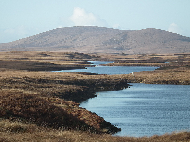
The hill/mountain is known for its distinctive shape and rugged terrain, attracting outdoor enthusiasts and hikers looking for a challenge. Its steep slopes and rocky outcrops make it a popular destination for experienced climbers seeking a thrilling ascent. The summit offers breathtaking panoramic views of the surrounding landscape, including the nearby sea lochs and rolling hills of the Outer Hebrides.
Fliseabhal is characterized by its diverse flora and fauna. The lower slopes are covered in heather and grasses, while the higher elevations are adorned with hardy alpine plants and mosses. The hill/mountain is home to a variety of bird species, including golden eagles, peregrine falcons, and red grouse, making it a haven for birdwatchers.
Access to Fliseabhal can be achieved via various footpaths and trails, which wind their way through the challenging terrain. It is advisable to come prepared with proper hiking equipment and clothing, as the weather conditions can change rapidly, even in the summer months.
Overall, Fliseabhal is a captivating natural landmark, offering a thrilling outdoor experience and stunning vistas for those who venture to its summit.
If you have any feedback on the listing, please let us know in the comments section below.
Fliseabhal Images
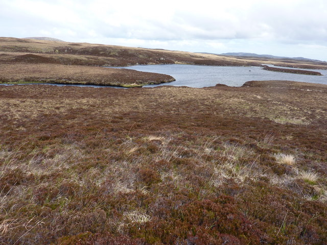
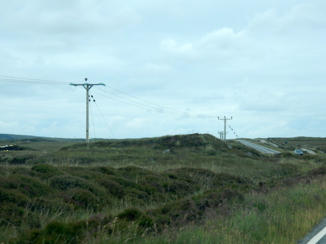
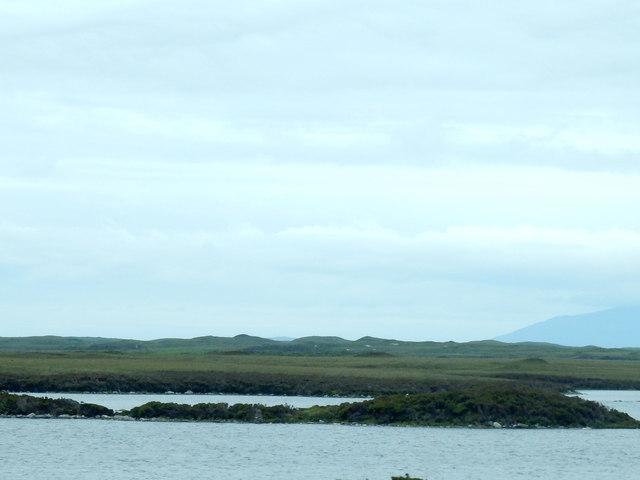
Images are sourced within 2km of 57.605514/-7.2309134 or Grid Reference NF8769. Thanks to Geograph Open Source API. All images are credited.
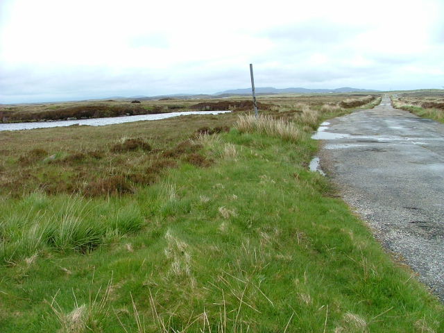

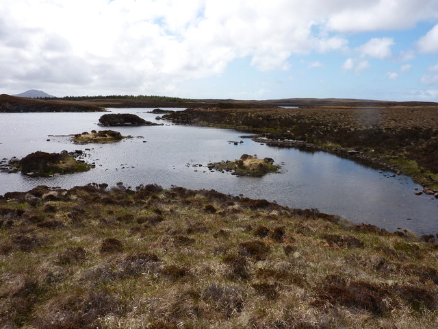
Fliseabhal is located at Grid Ref: NF8769 (Lat: 57.605514, Lng: -7.2309134)
Unitary Authority: Na h-Eileanan an Iar
Police Authority: Highlands and Islands
What 3 Words
///giving.tacky.obey. Near Lochmaddy, Na h-Eileanan Siar
Nearby Locations
Related Wikis

Loch Sgadabhagh
Loch Sgadabhagh or Loch Scadavay is a body of water on the island of North Uist, Scotland. The name may be of Old Norse derivation meaning "lake of tax...

Na Fir Bhrèige
Na Fir Bhrèige (pronounced [nə fiɾʲ ˈvɾʲeːkʲə]; can be translated from Gaelic into English as "The False Men") is a set of three standing stones on the...

Lochmaddy
Lochmaddy (Scottish Gaelic: Loch nam Madadh [l̪ˠɔx nə ˈmat̪əɣ], "Loch of the Hounds") is the administrative centre of North Uist in the Outer Hebrides...

Ceallasaigh Mòr
Ceallasaigh Mòr (or Keallasay More) is a low-lying island in Loch Maddy off North Uist in the Outer Hebrides of Scotland. This an area of shallow lagoons...
Nearby Amenities
Located within 500m of 57.605514,-7.2309134Have you been to Fliseabhal?
Leave your review of Fliseabhal below (or comments, questions and feedback).