Ball o' Ditton
Settlement in Lancashire
England
Ball o' Ditton
Ball o' Ditton is a small village located in the county of Lancashire, England. Situated in the borough of Halton, it is part of the larger town of Widnes. The village is nestled between the River Mersey and the Manchester Ship Canal, providing picturesque views of the waterways.
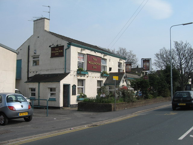
With a population of around 2,000 residents, Ball o' Ditton exudes a tight-knit community atmosphere. The village boasts a range of amenities and facilities that cater to the needs of its inhabitants. These include a primary school, a village hall, a local convenience store, and a pub, which serves as a popular meeting spot for locals.
The village's location offers convenient access to nearby urban centers. Widnes town center is a short distance away, providing a wider range of shops, supermarkets, and leisure facilities. Additionally, the city of Liverpool is just a short commute across the River Mersey, opening up a host of employment and entertainment opportunities.
Ball o' Ditton benefits from its proximity to natural landscapes and recreational areas. The nearby Hale Park provides a serene setting for outdoor activities, including picnics, walks, and sports. The village also benefits from being in close proximity to the Trans Pennine Trail, a popular route for walkers, cyclists, and runners.
Overall, Ball o' Ditton offers a charming and tranquil living environment for its residents. With its strong sense of community, convenient amenities, and access to both urban and natural attractions, it is an ideal place to call home in Lancashire.
If you have any feedback on the listing, please let us know in the comments section below.
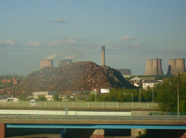
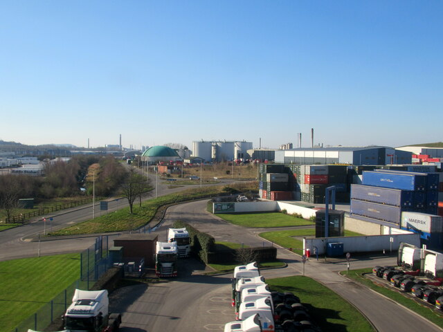
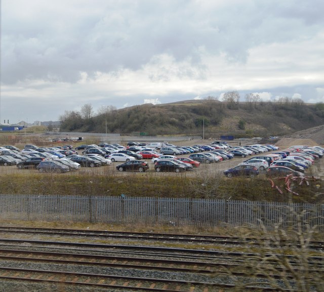
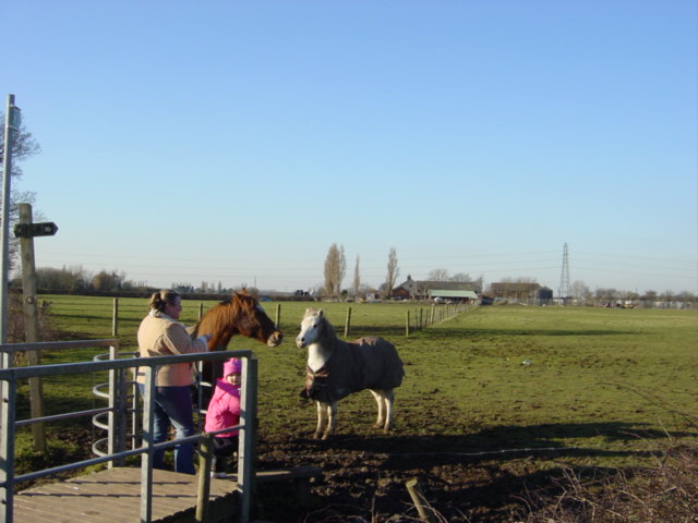
Ball o' Ditton Images
Images are sourced within 2km of 53.369367/-2.754443 or Grid Reference SJ4986. Thanks to Geograph Open Source API. All images are credited.


Ball o' Ditton is located at Grid Ref: SJ4986 (Lat: 53.369367, Lng: -2.754443)
Unitary Authority: Halton
Police Authority: Cheshire
What 3 Words
///worm.taken.cubes. Near Widnes, Cheshire
Nearby Locations
Related Wikis

Chestnut Lodge, Widnes
Chesnut Lodge is a small suburb of Widnes within the borough of Halton, in Cheshire, England. It has a small range of local services including a chip shop...
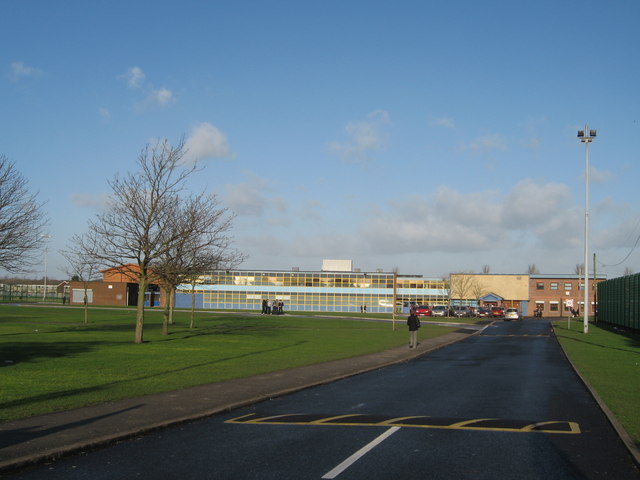
Ormiston Chadwick Academy
Ormiston Chadwick Academy (formerly The Bankfield School) is a coeducational secondary school with academy status in Widnes, Cheshire. == History... ==

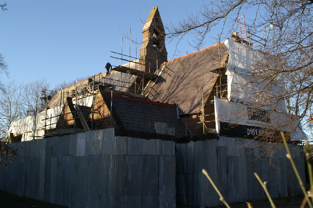
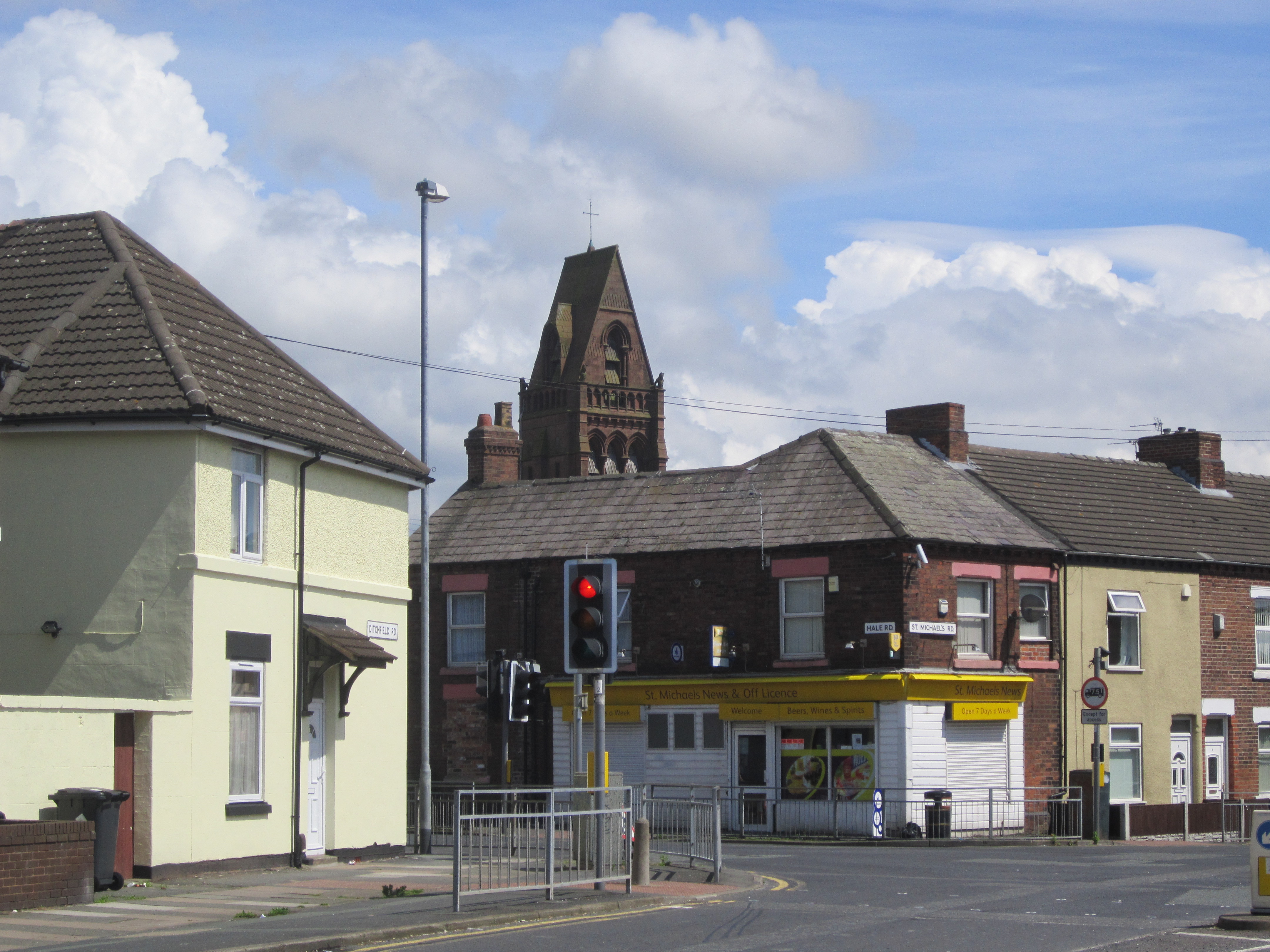
St Michael's Church, Ditton
St Michael's Church is in St Michael's Road, Ditton, Widnes, Halton, Cheshire, England. It is recorded in the National Heritage List for England as a designated...

Saints Peter and Paul Catholic High School
Saints Peter and Paul Catholic High School is a coeducational Roman Catholic secondary school in Widnes, Cheshire.It is a voluntary aided school administered...
Ball o' Ditton
Ball o' Ditton is a village in Cheshire, England. == References == == External links ==
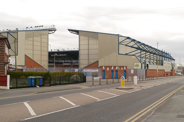
DCBL Stadium
The DCBL Stadium (historically known as Lowerhouse Lane and Naughton Park) is a multi-purpose rugby league, football and American football stadium in Widnes...
Ditton, Cheshire
Ditton is a residential area of Widnes, in the borough of Halton, England. It borders Halebank to the south and west, Hough Green to the north and north...
Hough Green
Hough Green is a residential area of the town of Widnes, within the borough of Halton, in the ceremonial county of Cheshire, England. Within the boundaries...
Nearby Amenities
Located within 500m of 53.369367,-2.754443Have you been to Ball o' Ditton?
Leave your review of Ball o' Ditton below (or comments, questions and feedback).