Crògearraidh Mòr

Hill, Mountain in Inverness-shire

Scotland

Crògearraidh Mòr

A865 road by Traigh Athmor And another of those square "Passing Place" signs;  I much prefer the diamond shaped ones!
A865 road by Traigh Athmor Credit: Gordon Brown

Crògearraidh Mòr is a prominent hill located in the county of Inverness-shire, Scotland. Standing at an elevation of approximately 726 meters (2,382 feet), it is classified as a Corbett, which is a Scottish mountain between 2,500 and 3,000 feet in height.

Situated in the heart of the Scottish Highlands, Crògearraidh Mòr offers breathtaking panoramic views of the surrounding landscape. Its summit provides a vantage point overlooking the glens, lochs, and nearby mountains, making it a popular destination for hikers, mountaineers, and nature enthusiasts.

The hill is composed of rugged terrain, with steep slopes and rocky outcrops adding to its scenic appeal. Its grassy slopes are adorned with heather, offering a vibrant display of colors during the summer months. The lower slopes are dotted with scattered trees and shrubs, providing habitat for various wildlife species.

Crògearraidh Mòr is easily accessible from nearby towns and villages, with several walking routes leading to its summit. The most common route starts from the village of Newtonmore, following a well-defined path that gradually ascends the hill. The hike typically takes around 3-4 hours to complete, depending on individual fitness levels.

Due to its location in the Scottish Highlands, the weather conditions on Crògearraidh Mòr can change rapidly, with strong winds, rain, and fog being common occurrences. It is essential for visitors to come prepared with appropriate clothing, equipment, and navigational tools.

Overall, Crògearraidh Mòr offers a challenging yet rewarding outdoor experience, showcasing the natural beauty of the Scottish Highlands and providing an opportunity to immerse oneself in the rugged landscapes that define this region.

If you have any feedback on the listing, please let us know in the comments section below.

Crògearraidh Mòr Images

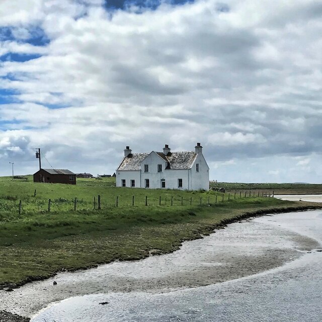
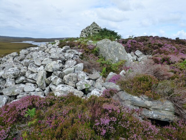
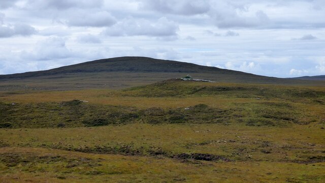
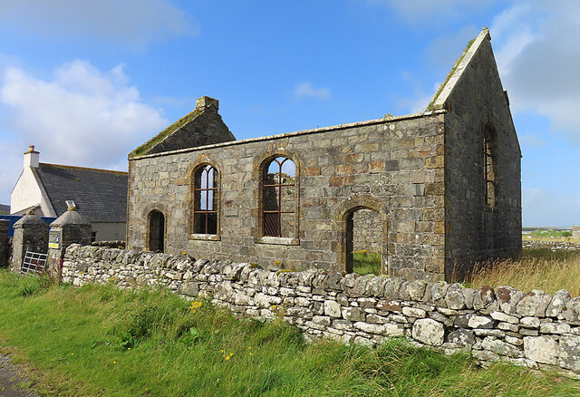
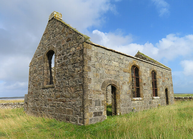
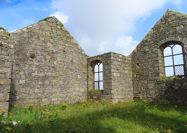
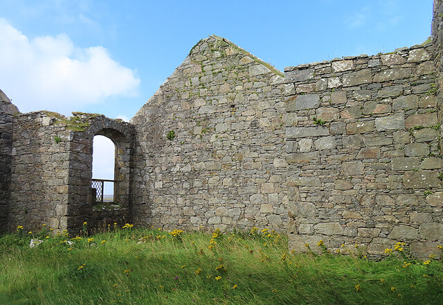
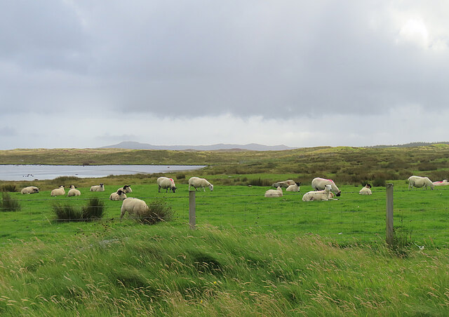
Images are sourced within 2km of 57.639373/-7.2510981 or Grid Reference NF8673. Thanks to Geograph Open Source API. All images are credited.
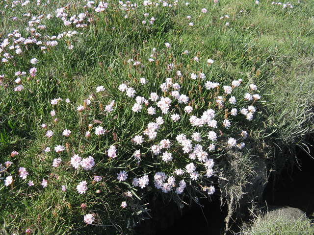
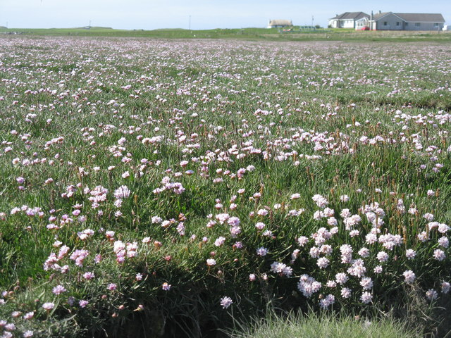
A865 road by Traigh Athmor And another of those square "Passing Place" signs;  I much prefer the diamond shaped ones!
A865 road by Traigh Athmor
And another of those square "Passing Place" signs; I much prefer the diamond shaped ones!
Traigh Athmor A typical scattering of Outer Hebrides houses above the shore.
Traigh Athmor
A typical scattering of Outer Hebrides houses above the shore.
Salt marsh at Trumaisgearraidh With a good flowering of Thrift [Armeria maritima].
Salt marsh at Trumaisgearraidh
With a good flowering of Thrift [Armeria maritima].
Thrift on North Uist Good flowering on a salt marsh at Trumaisgearraidh. Growing with Sea Plantain.
Thrift on North Uist
Good flowering on a salt marsh at Trumaisgearraidh. Growing with Sea Plantain.
Thrift and Sea Plantain Armeria maritima and Plantago maritima on the salt marsh at Trumaisgearraidh.
Thrift and Sea Plantain
Armeria maritima and Plantago maritima on the salt marsh at Trumaisgearraidh.
Sea pinks, North Uist If you're lucky enough to be there at the right time, it's an amazing display.
Sea pinks, North Uist
If you're lucky enough to be there at the right time, it's an amazing display.
Low tide, Traigh Athmor The tide runs out a long way here, exposing many hectares of sand.
Low tide, Traigh Athmor
The tide runs out a long way here, exposing many hectares of sand.
Airigh Nan Luchag shieling A ruined shieling (Scale 1m). <span class="nowrap"><a title="https://canmore.org.uk/site/123341/north-uist-airigh-nan-luchag" rel="nofollow ugc noopener" href="https://canmore.org.uk/site/123341/north-uist-airigh-nan-luchag">Link</a><img style="margin-left:2px;" alt="External link" title="External link - shift click to open in new window" src="https://s1.geograph.org.uk/img/external.png" width="10" height="10"/></span>
Airigh Nan Luchag shieling
A ruined shieling (Scale 1m). LinkExternal link
Airigh Nan Luchag shieling Shielings are often difficult to spot but this one comes with its own signpost. <span class="nowrap"><a title="https://canmore.org.uk/site/123341/north-uist-airigh-nan-luchag" rel="nofollow ugc noopener" href="https://canmore.org.uk/site/123341/north-uist-airigh-nan-luchag">Link</a><img style="margin-left:2px;" alt="External link" title="External link - shift click to open in new window" src="https://s1.geograph.org.uk/img/external.png" width="10" height="10"/></span>
Airigh Nan Luchag shieling
Shielings are often difficult to spot but this one comes with its own signpost. LinkExternal link
Dun Aonghuis The dun covers the whole of a small island in Loch Aonghais. <span class="nowrap"><a title="https://canmore.org.uk/site/10366/north-uist-loch-aonghais-dun-aonais" rel="nofollow ugc noopener" href="https://canmore.org.uk/site/10366/north-uist-loch-aonghais-dun-aonais">Link</a><img style="margin-left:2px;" alt="External link" title="External link - shift click to open in new window" src="https://s1.geograph.org.uk/img/external.png" width="10" height="10"/></span>
Dun Aonghuis
The dun covers the whole of a small island in Loch Aonghais. LinkExternal link
House near Trumaisgearraidh - view to the W from the B893
Barpa nam Feannag Chambered Long Cairn View of the chamber at the eastern end of the mound <span class="nowrap"><a title="https://www.megalithic.co.uk/article.php?sid=48278" rel="nofollow ugc noopener" href="https://www.megalithic.co.uk/article.php?sid=48278">Link</a><img style="margin-left:2px;" alt="External link" title="External link - shift click to open in new window" src="https://s1.geograph.org.uk/img/external.png" width="10" height="10"/></span>
Barpa nam Feannag Chambered Long Cairn
View of the chamber at the eastern end of the mound LinkExternal link
Barpa nam Feannag Chambered Long Cairn The hill beyond the cairn is Sgealtrabhal <span class="nowrap"><a title="https://www.megalithic.co.uk/article.php?sid=48278" rel="nofollow ugc noopener" href="https://www.megalithic.co.uk/article.php?sid=48278">Link</a><img style="margin-left:2px;" alt="External link" title="External link - shift click to open in new window" src="https://s1.geograph.org.uk/img/external.png" width="10" height="10"/></span>
Barpa nam Feannag Chambered Long Cairn
The hill beyond the cairn is Sgealtrabhal LinkExternal link
Trumaisgearraidh Kirk This kirk, opened in 1829, was one of the Parliamentary kirks associated with Thomas Telford.
Trumaisgearraidh Kirk
This kirk, opened in 1829, was one of the Parliamentary kirks associated with Thomas Telford.
Telford Kirk at Trumisgarry One of the Parliamentary kirks associated with Thomas Telford, built in 1829.
Telford Kirk at Trumisgarry
One of the Parliamentary kirks associated with Thomas Telford, built in 1829.
Trumaisgearraidh Parliamentary Kirk Inside the ruin, showing the characteristic window shape.
Trumaisgearraidh Parliamentary Kirk
Inside the ruin, showing the characteristic window shape.
Telford Kirk at Trumisgarry The interior of the now roofless shell of the kirk, which was built in 1829.
Telford Kirk at Trumisgarry
The interior of the now roofless shell of the kirk, which was built in 1829.
Sheep at Trumaisgearraidh Unusually, the sheep are confined by a fence alongside the road.
Sheep at Trumaisgearraidh
Unusually, the sheep are confined by a fence alongside the road.
Show me another place!

Crògearraidh Mòr is located at Grid Ref: NF8673 (Lat: 57.639373, Lng: -7.2510981)

Unitary Authority: Na h-Eileanan an Iar

Police Authority: Highlands and Islands

What 3 Words

///wider.arrival.dote. Near Lochmaddy, Na h-Eileanan Siar

Related Wikis

Na Fir Bhrèige

Na Fir Bhrèige (pronounced [nə fiɾʲ ˈvɾʲeːkʲə]; can be translated from Gaelic into English as "The False Men") is a set of three standing stones on the...

Oronsay, Outer Hebrides

Oronsay (Gaelic Orasaigh) is a tidal island off North Uist in the Outer Hebrides. Lying to the north of Vallaquie Strand, the island has been uninhabited...

Ceallasaigh Mòr

Ceallasaigh Mòr (or Keallasay More) is a low-lying island in Loch Maddy off North Uist in the Outer Hebrides of Scotland. This an area of shallow lagoons...

North Uist Machair and Islands

The North Uist Machair and Islands is a protected wetland area in the Outer Hebrides of Scotland. A total of 4,705 hectares comprises seven separate areas...

Nearby Amenities

Located within 500m of 57.639373,-7.2510981
Crògearraidh Mòr
Corbett: no
Ele: 180
Graham: no
Marilyn: yes
Munro: no
Name En: Crogary Mòr
Name Gd: Crògearraidh Mòr
Natural: peak
Prominence: 171
Lat/Long: 57.6392969/-7.2509984
Note: no barb wire on fence here
Lat/Long: 57.6382514/-7.2432591
Note: no barb wire in fence here
Lat/Long: 57.6409562/-7.2465469
The data included in this document is from www.openstreetmap.org. The data is made available under ODbL.

Have you been to Crògearraidh Mòr?

Leave your review of Crògearraidh Mòr below (or comments, questions and feedback).